
Coordinates47.4981, -101.4128
North DakotaReservoir
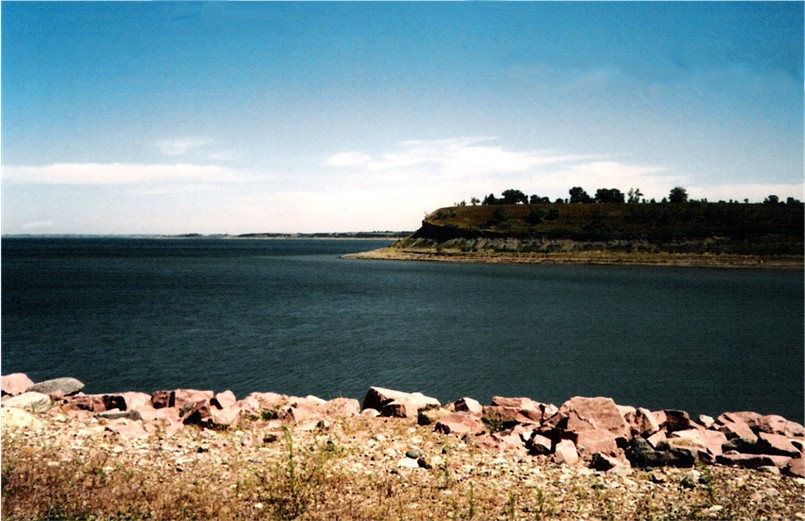
Lake Sakakawea
Lake Sakakawea is a 382,000-acre reservoir on the Missouri River in North Dakota. Management is in the hands of USACE Omaha District.
Surface area382,000 acres
Max depth180 ft
RiverMissouri River
Managed byUSACE Omaha District
Swimming beaches on Lake Sakakawea
No named swimming beach is mapped yet for this lake. Access is through agency day-use areas and boat ramps listed below. We add beach pages only when we can confirm a name, coordinates and an operating agency.
Lake Sakakawea on the map
Lake center, swimming spots and access points.
Weather and water temperature
Air temperature and wind from Open-Meteo. Water temperature only when the lake has a public sensor.
Weather data by Open-Meteo
Lake Sakakawea: access and conditions
The center of the lake is at 47.4981, -101.4128. It lies at roughly 1,818 feet of elevation. Outflow feeds the Missouri River. Maximum depth is around 180 feet.
There is no live level reading for Lake Sakakawea. The agencies that run this water do not publish one openly, and we do not estimate what has not been measured. Ask the managing agency directly if the level matters for your trip.
If Lake Sakakawea is busy, the nearest alternatives here are Lake Audubon (North Dakota, 13 mi), Lake Tschida (North Dakota, 65 mi) and Lake Darling (North Dakota, 70 mi). North Dakota has 11 lakes on this site in total.
There is no water temperature sensor here, so only air conditions are shown. Season dates vary by park; the operating agency publishes them each spring. Check the operating agency for advisories before any water contact, especially for blue-green algae in late summer.
The shoreline of Lake Sakakawea has 6 public recreation areas and 1 boat ramp in the datasets we read. Recreation areas nearby include Downstream, West Tailrace and Government Bay. Launch points include Missouri River Ramp.. Facilities vary from one access point to the next, so check before you rely on one.
Recreation areas on Lake Sakakawea
6 public recreation areas mapped around the lake by the U.S. Army Corps of Engineers. Facilities vary by area; check the managing office for opening dates and fees.
Downstream West Tailrace Government Bay Lake Sakakawea State Park Wolf Creek Fort Stevenson State Park
Source: USACE Recreation Areas
Boat ramps and access points
Public launch points recorded around the lake. Low water can close shallow ramps, so check the level before hauling a trailer.
| Name | Operated by | Distance | Source |
|---|---|---|---|
| Missouri River Ramp | Corps Of Engineers | 0.8 mi | source |
Ramp data: USACE Recreation Areas
Questions about Lake Sakakawea
Is there a beach at Lake Sakakawea?
No named swimming beach appears in the federal and state datasets this guide reads. Check the operating agency for day-use areas on the ground.
How big is Lake Sakakawea?
About 382,000 acres. Maximum depth is around 180 feet.
What other lakes are near Lake Sakakawea?
The closest in this guide is Lake Audubon, about 13 miles away in North Dakota.
Lakes near Lake Sakakawea
Other lakes in this guide, ordered by distance.
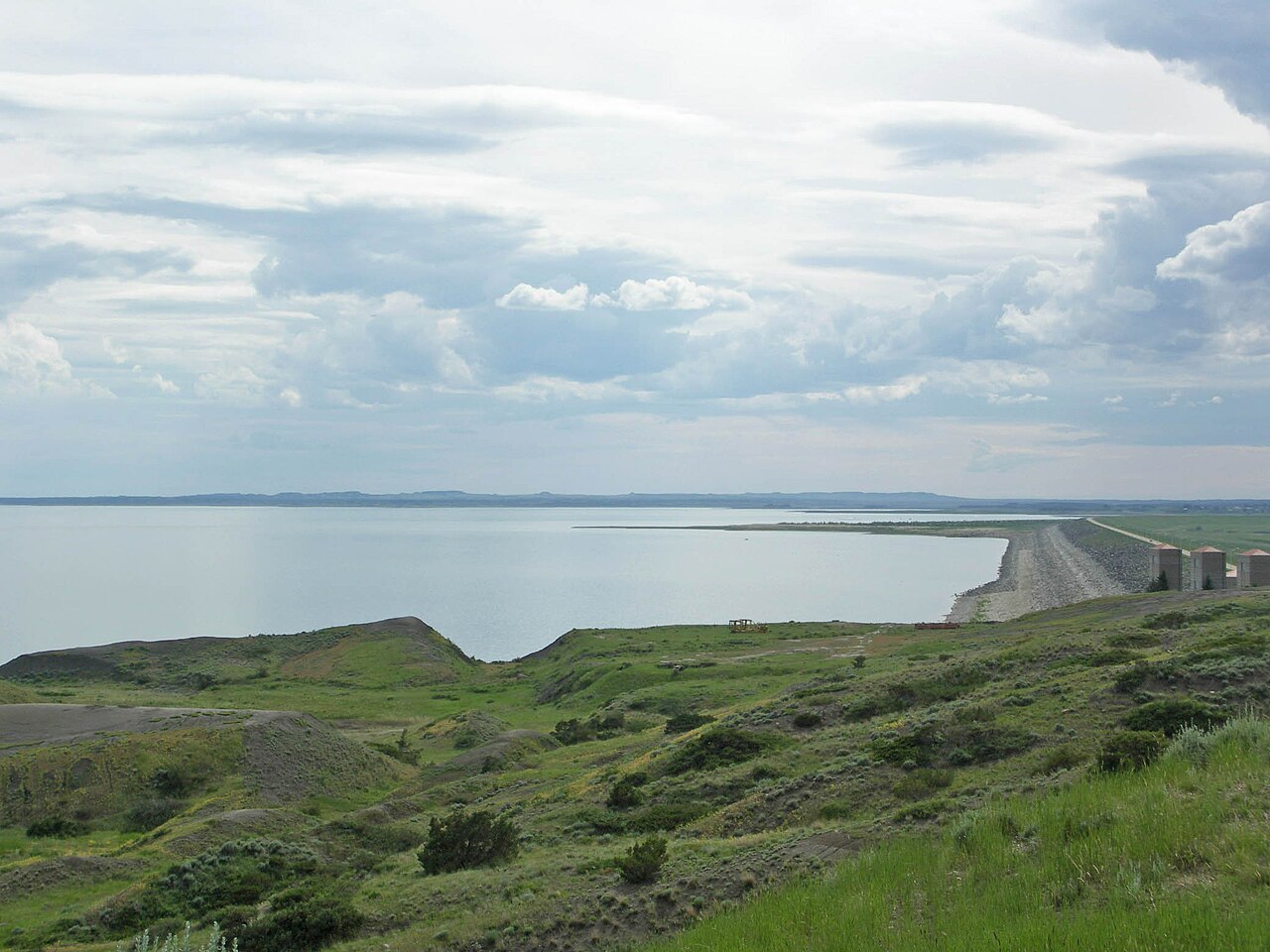
Fort Peck Lake
Fed by the Missouri River, Fort Peck Lake holds roughly 245,000 acres of water in Montana. It lies in Valley County. USACE Omaha…
Reservoir
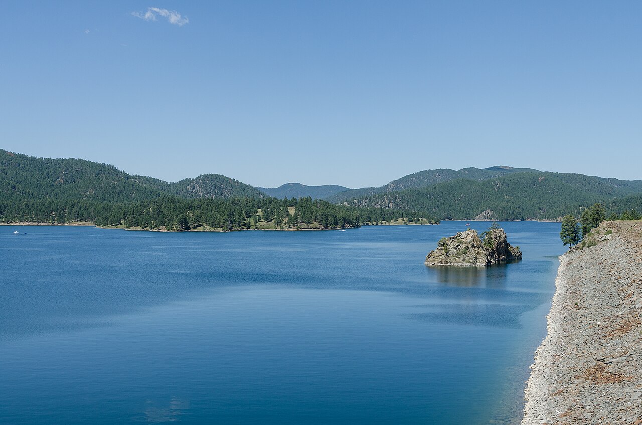
Pactola Reservoir
Pactola Reservoir is a 800-acre reservoir on the Rapid Creek in South Dakota. You will find it in Pennington County. It is…
Reservoir2 beaches

Detroit Lake
Fed by the North Santiam River, Detroit Lake holds roughly 3,500 acres of water in Oregon. It lies in Marion County. Management…
Natural lake
Angostura Reservoir
Angostura Reservoir is a 4,407-acre reservoir on the Cheyenne River in South Dakota. It lies in Fall River County. It is managed…
Reservoir
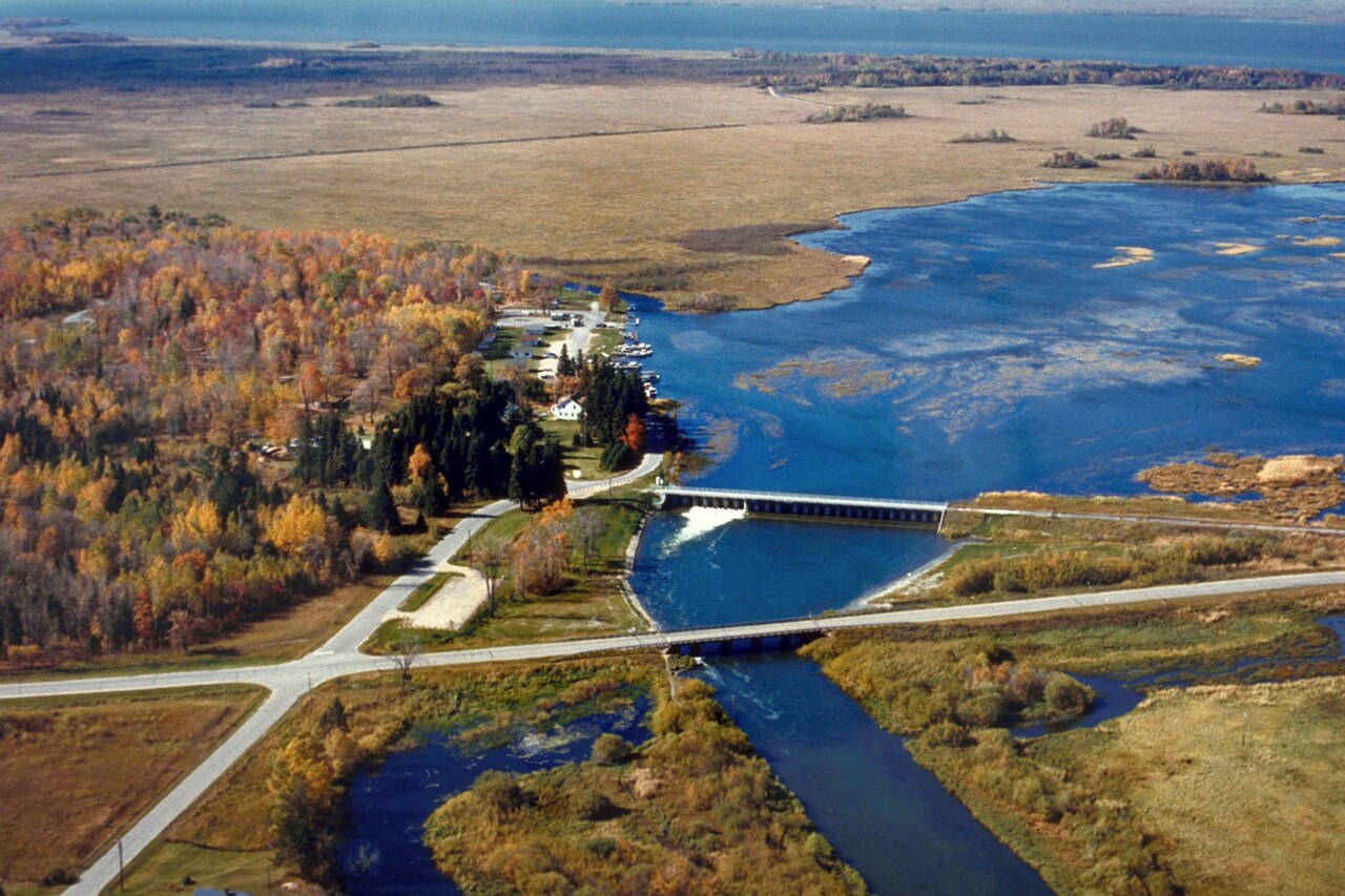
Leech Lake
Fed by the Leech Lake River, Leech Lake holds roughly 111,445 acres of water in Minnesota. You will find it in Cass County. It is…
Natural lake3 beaches
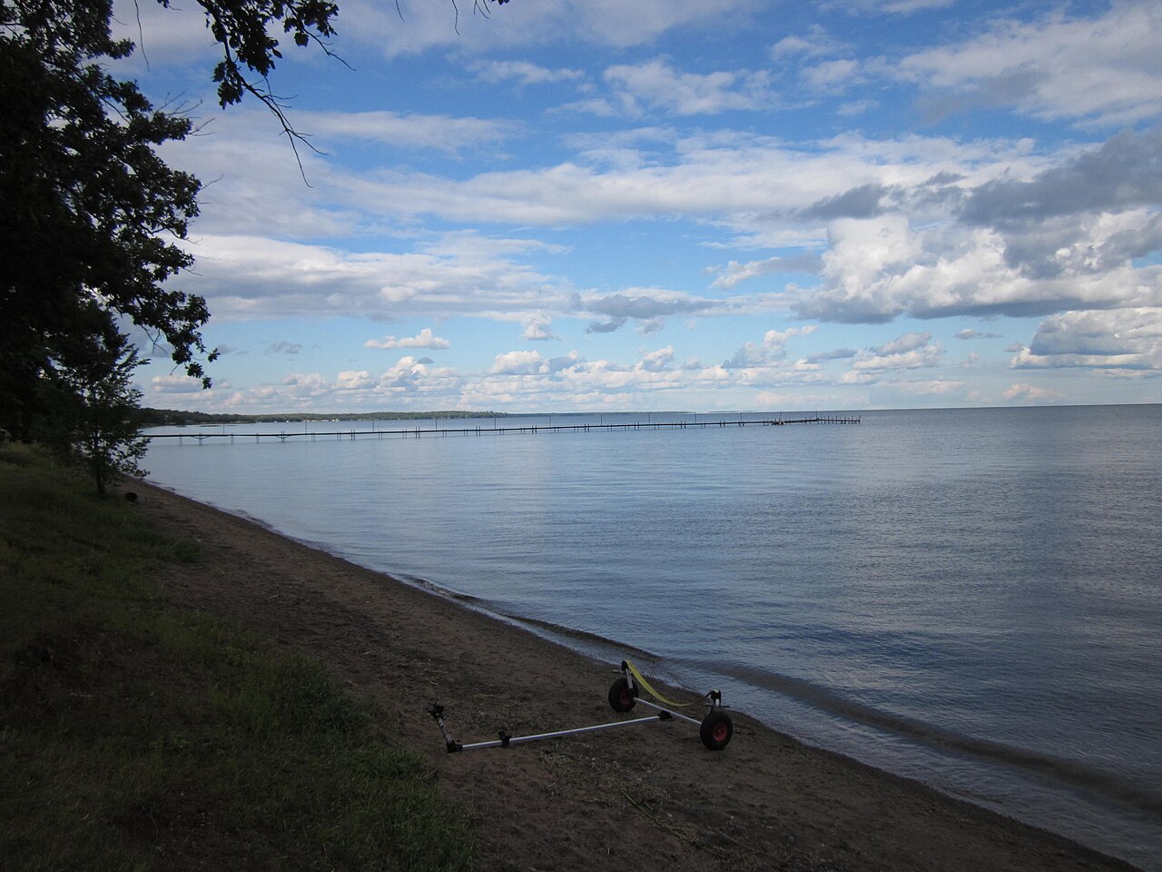
Mille Lacs Lake
Fed by the Rum River, Mille Lacs Lake holds roughly 132,448 acres of water in Minnesota. You will find it in Mille Lacs County.…
Natural lake
Explore around North Dakota
Sources
Every figure on this page comes from one of these public sources.