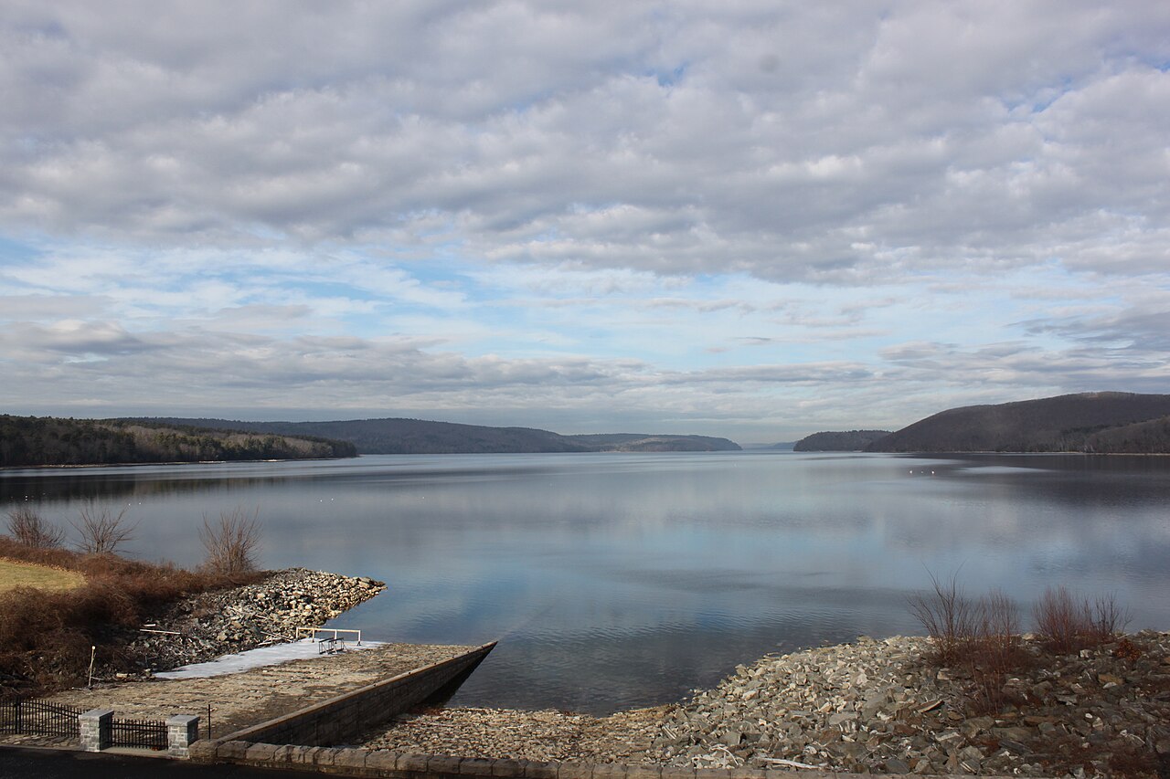
Quabbin Reservoir
Quabbin Reservoir covers about 24,703 acres of the Swift River in Massachusetts. The lake is in Worcester County. MA DCR Division…
Reservoir1 beach

State
Massachusetts has 15 lakes and reservoirs in this guide. 6 of them are reservoirs held back by a dam and 9 are natural lakes. The largest is Quabbin Reservoir at about 24,703 acres. The deepest water on record here is at Quabbin Reservoir, about 151 feet. Rivers that feed or drain them include the outflow =, the Nemasket River and the Canoe River. A public agency publishes a live water level for 4 of them, which is what the level pages show. The agency behind the most lakes here is USACE New England District. Across the state we map 26 named swimming spots and access points from federal and state sources.
Click a marker to open the lake page.
Each page has the live water level, weather, access points and sources.
Quabbin Reservoir covers about 24,703 acres of the Swift River in Massachusetts. The lake is in Worcester County. MA DCR Division…
Readings are refreshed from the operating agency and stamped with the time they were taken. Level changes what is usable on the shoreline, from beach width to ramp access.
| Lake | Level | Full pool | How full |
|---|---|---|---|
| Quabbin Reservoir | — | — | no percent published |