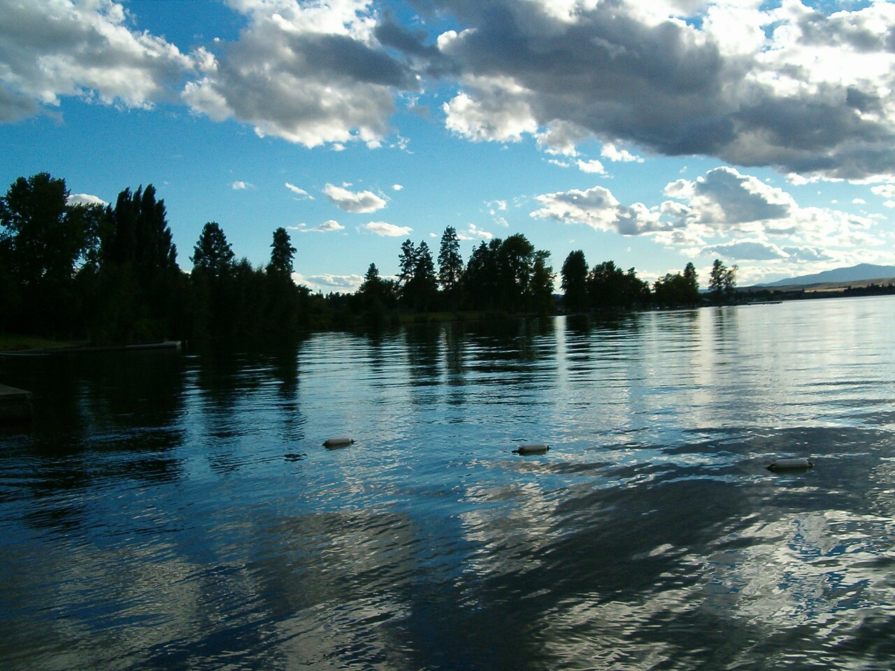
Flathead Lake
Fed by the Flathead River, Flathead Lake holds roughly 126,024 acres of water in Montana. Its shoreline falls inside Lake County.…
Natural lake3 beaches

State
Montana has 22 lakes and reservoirs in this guide. 18 of them are reservoirs held back by a dam and 4 are natural lakes. The largest is Fort Peck Lake at about 245,000 acres. The deepest water on record here is at Lake McDonald, about 469 feet. Rivers that feed or drain them include the Missouri River, the Bighorn River and the Flathead River. A public agency publishes a live water level for 5 of them, which is what the level pages show. The agency behind the most lakes here is Montana FWP. Across the state we map 9 named swimming spots and access points from federal and state sources.
Click a marker to open the lake page.
Each page has the live water level, weather, access points and sources.
Fed by the Flathead River, Flathead Lake holds roughly 126,024 acres of water in Montana. Its shoreline falls inside Lake County.…
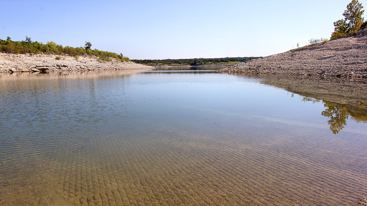
Georgetown Lake is a 2,818-acre reservoir on the North Fork Flint Creek in Montana. It lies in Granite County. Management is in…
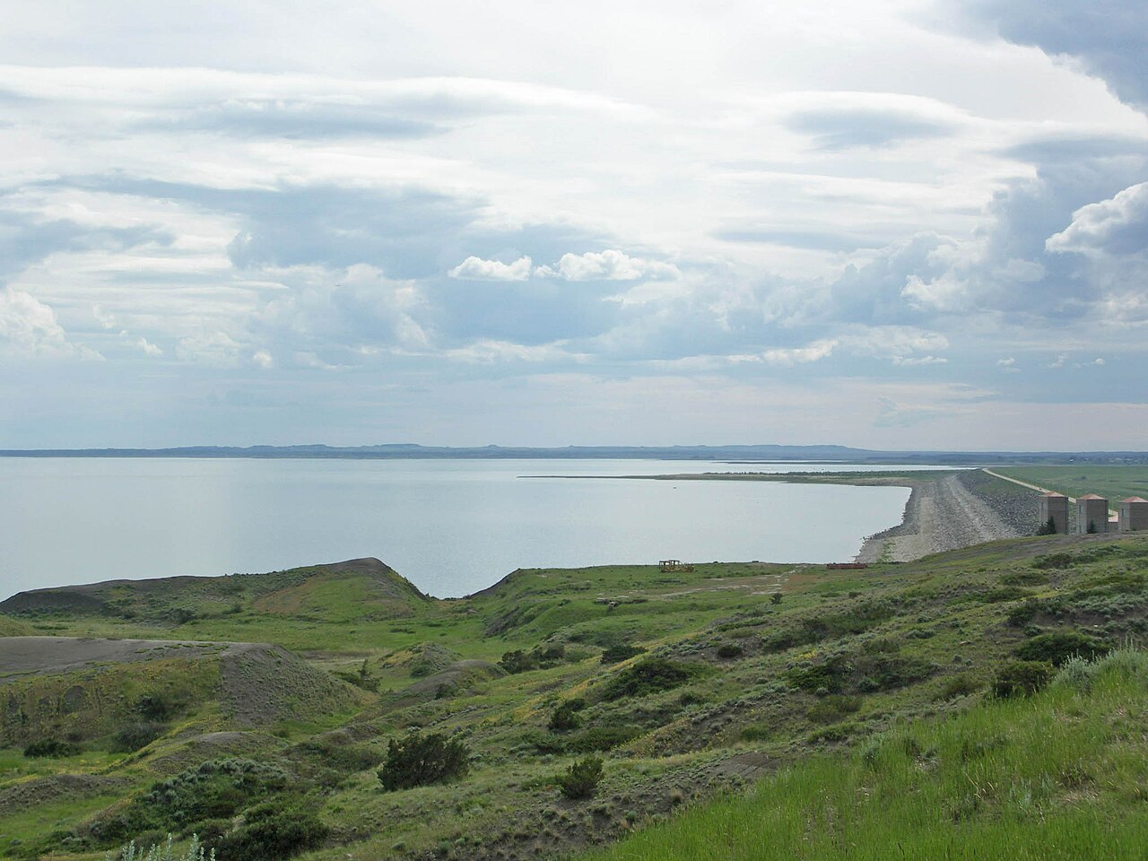
Fed by the Missouri River, Fort Peck Lake holds roughly 245,000 acres of water in Montana. It lies in Valley County. USACE Omaha…
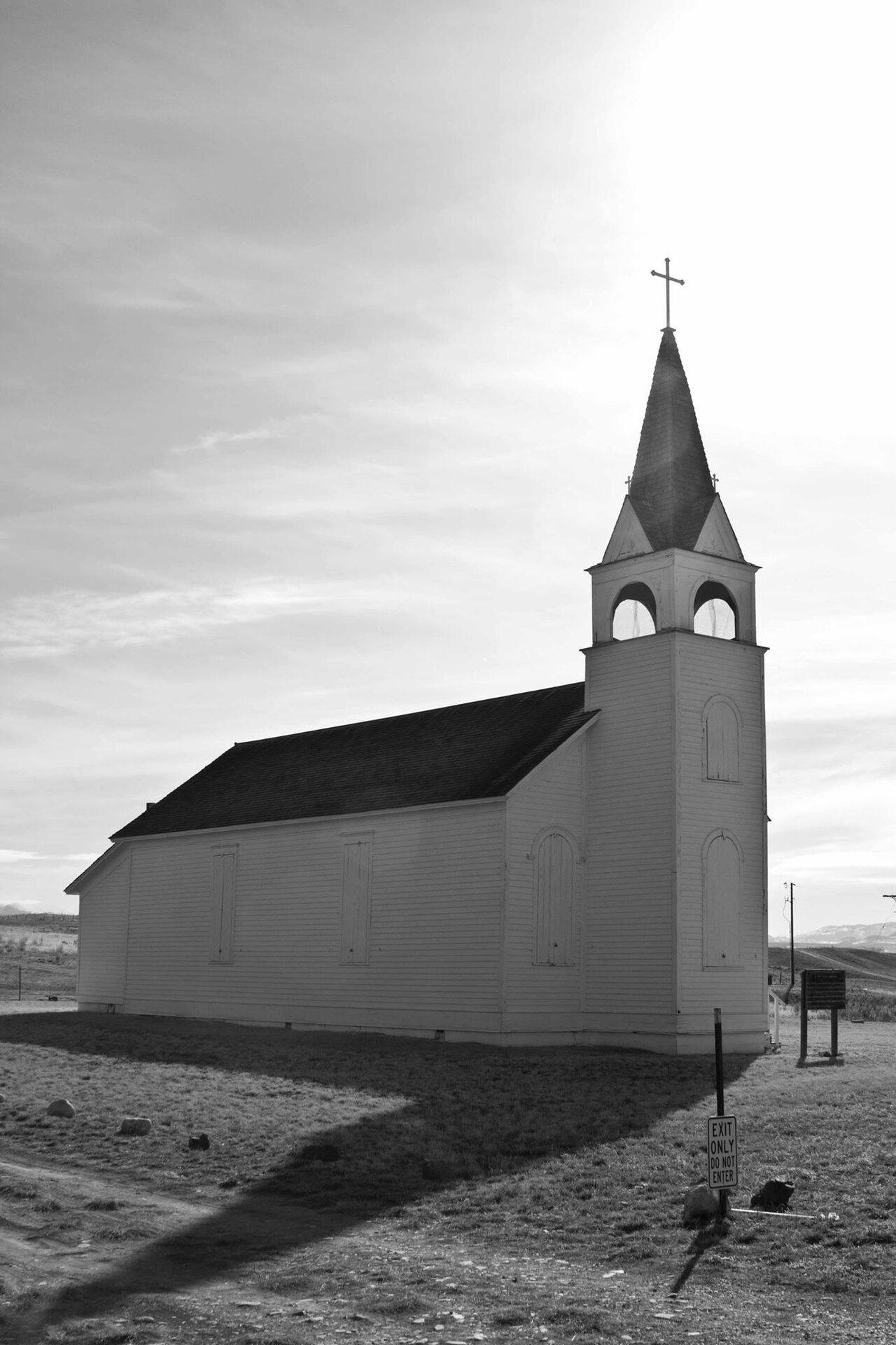
Canyon Ferry Lake is a 33,534-acre reservoir on the Missouri River in Montana. It is managed by USBR Montana Area Office. This…
Readings are refreshed from the operating agency and stamped with the time they were taken. Level changes what is usable on the shoreline, from beach width to ramp access.
| Lake | Level | Full pool | How full |
|---|---|---|---|
| Flathead Lake | 2,893.04 ft | — | no percent published |
| Georgetown Lake | — | — | no percent published |
| Fort Peck Lake | — | — | no percent published |
| Canyon Ferry Lake | — | — | no percent published |