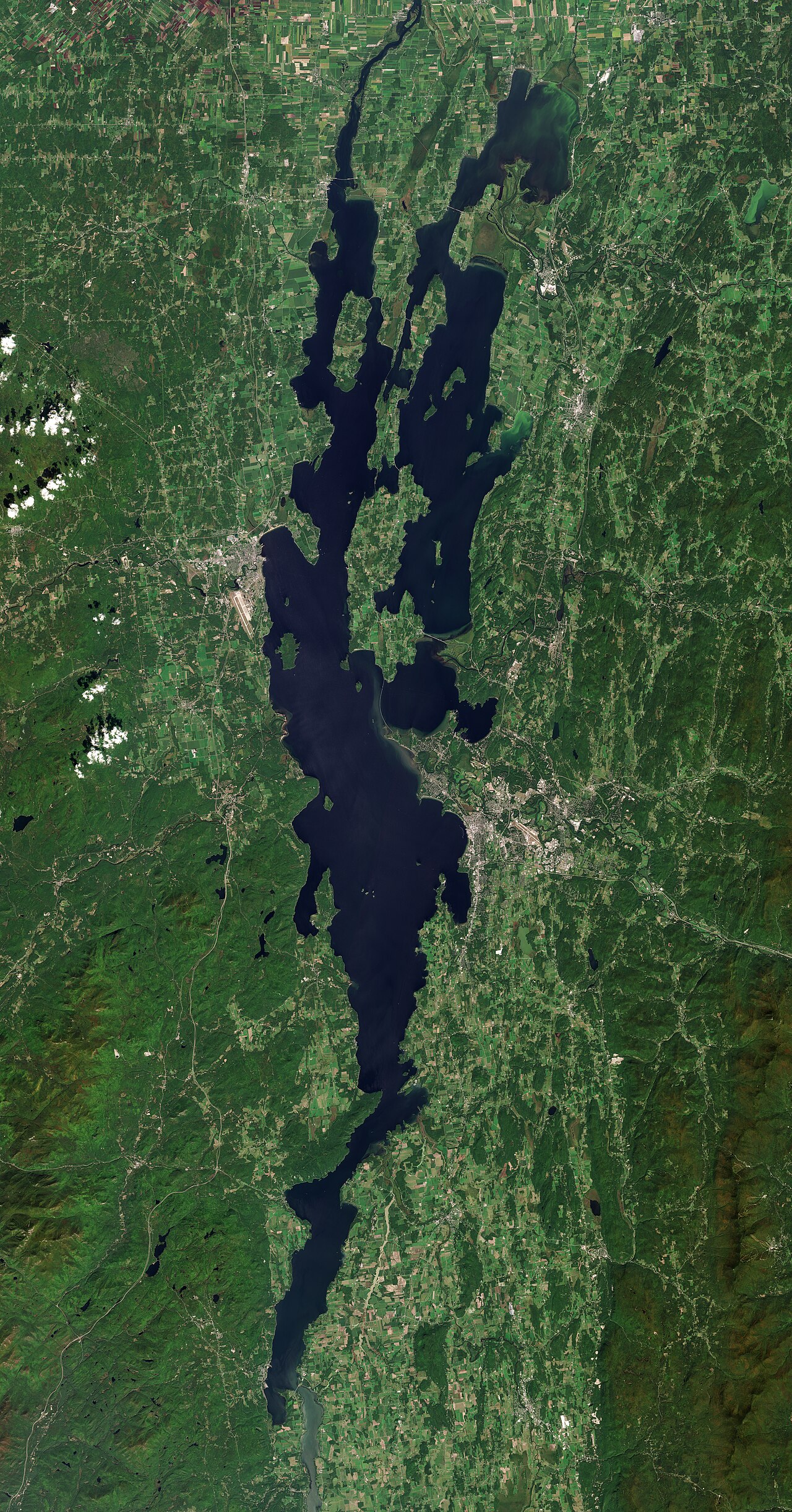
Lake Champlain
Lake Champlain is a 313,577-acre lake on the Richelieu River in Vermont. Its shoreline falls inside Grand Isle County. It is…
Natural lake

State
There are 9 lakes and reservoirs in Vermont on this site. 5 of them are reservoirs held back by a dam and 4 are natural lakes. Lake Champlain is the biggest, covering roughly 313,577 acres. The deepest water on record here is at Lake Champlain, about 400 feet. Rivers that feed or drain them include the Castleton River, the Richelieu River and the Leicester River. 3 of these lakes have a public gauge, so their water level on this site is a real reading rather than an estimate. The agency behind the most lakes here is USACE New England District.
Click a marker to open the lake page.
Each page has the live water level, weather, access points and sources.
Lake Champlain is a 313,577-acre lake on the Richelieu River in Vermont. Its shoreline falls inside Grand Isle County. It is…
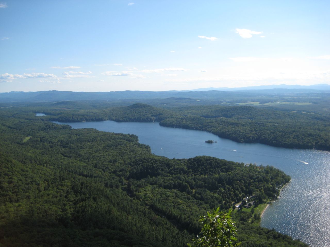
Lake Dunmore is a lake of some 985 acres on the Leicester River, in Vermont. It lies in Addison County. It is managed by Vermont…
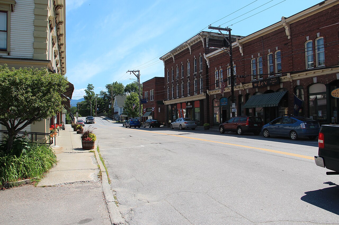
Waterbury Reservoir is a 850-acre reservoir in Vermont. You will find it in Washington County. Management is in the hands of VT…
Readings are refreshed from the operating agency and stamped with the time they were taken. Check the level before planning a trip around a specific ramp or beach.
| Lake | Level | Full pool | How full |
|---|---|---|---|
| Lake Champlain | 94.32 ft | — | no percent published |
| Lake Dunmore | — | — | no percent published |
| Waterbury Reservoir | 589.56 ft | — | no percent published |