
CountiesFall River County
South DakotaReservoirFall River County
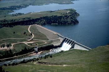
Angostura Reservoir
Angostura Reservoir is a 4,407-acre reservoir on the Cheyenne River in South Dakota. It lies in Fall River County. It is managed by SD GFP / USBR.
Coordinates43.3058, -103.4343
Surface area4,407 acres
Max depth75 ft
RiverCheyenne River
Managed bySD GFP / USBR
Swimming beaches on Angostura Reservoir
No named swimming beach is mapped yet for this lake. Access is through agency day-use areas and boat ramps listed below. We add beach pages only when we can confirm a name, coordinates and an operating agency.
Angostura Reservoir on the map
Lake center, swimming spots and access points.
Weather and water temperature
Air temperature and wind from Open-Meteo. Water temperature only when the lake has a public sensor.
Weather data by Open-Meteo
A closer look at Angostura Reservoir
Its coordinates are 43.3058, -103.4343. The deepest point on record is about 75 feet. The Cheyenne River carries the outflow. Surface elevation is about 3,127 feet.
Many smaller lakes have no designated beach at all, only informal shoreline access. Pactola Point Swim Beach, on Pactola Reservoir, is the closest named beach in this guide, about 52 miles off. The federal and state datasets behind this guide list no named beach at Angostura Reservoir. That does not mean there is no access, only that none is catalogued.
Angostura Reservoir has no public water level gauge that we can read, so there is no level chart here. An invented number would be worse than none. For a lake this size, the park office is the fastest way to learn how the water sits today.
Inland lakes are not monitored the way ocean beaches are, so posted signs matter more here. Water temperature is not measured at this lake by any public agency we read. Season dates vary by park; the operating agency publishes them each spring.
The closest lakes in this guide are Deerfield Reservoir (South Dakota, 53 mi), Pactola Reservoir (South Dakota, 53 mi) and Box Butte Reservoir (Nebraska, 61 mi). In all, 11 lakes in South Dakota are covered here.
Questions about Angostura Reservoir
Is there a beach at Angostura Reservoir?
No named swimming beach appears in the federal and state datasets this guide reads. Check the operating agency for day-use areas on the ground.
How big is Angostura Reservoir?
About 4,407 acres. Maximum depth is around 75 feet.
What other lakes are near Angostura Reservoir?
The closest in this guide is Deerfield Reservoir, about 53 miles away in South Dakota.
Lakes near Angostura Reservoir
Other lakes in this guide, ordered by distance.
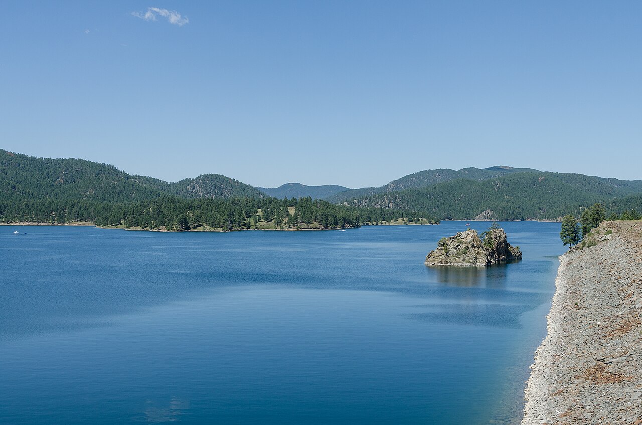
Pactola Reservoir
Pactola Reservoir is a 800-acre reservoir on the Rapid Creek in South Dakota. You will find it in Pennington County. It is…
Reservoir2 beaches
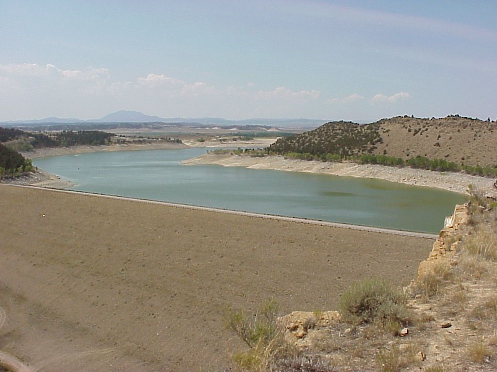
Glendo Reservoir
Fed by the North Platte River, Glendo Reservoir holds roughly 12,000 acres of water in Wyoming. It lies in Platte County. Wyoming…
Reservoir
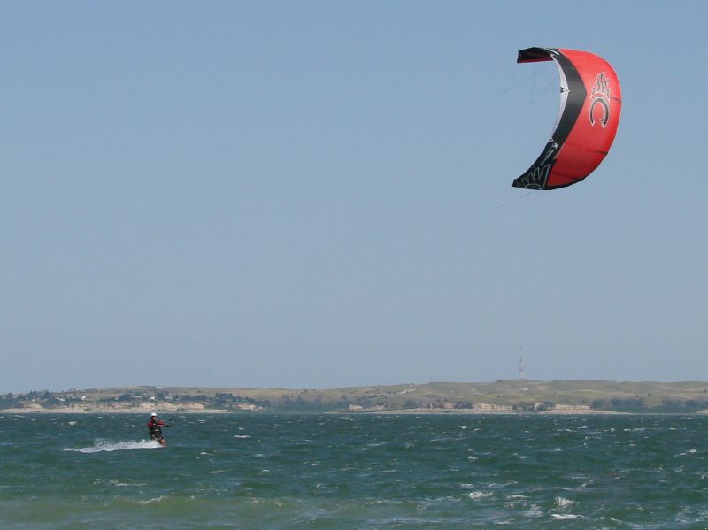
Lake McConaughy
Lake McConaughy covers about 35,700 acres of the outflow = in Nebraska. You will find it in Keith County. It is managed by…
Reservoir
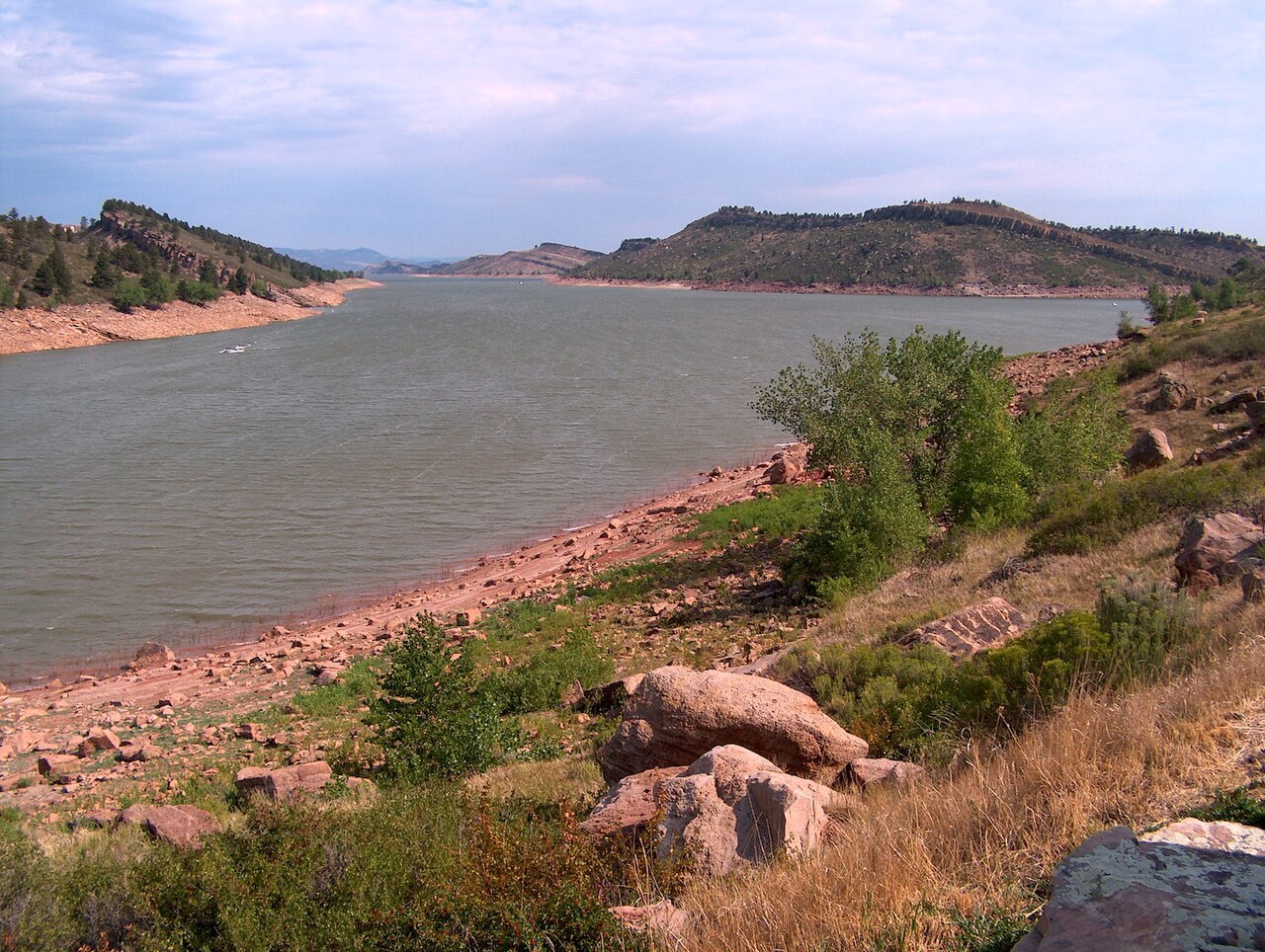
Horsetooth Reservoir
Horsetooth Reservoir is a 1,899-acre reservoir on the outflow = in Colorado. Its shoreline falls inside Larimer County.…
Reservoir
Union Reservoir
At roughly 717 acres, Union Reservoir is one of the lakes covered in Colorado. Its shoreline falls inside Weld County. It is…
Reservoir
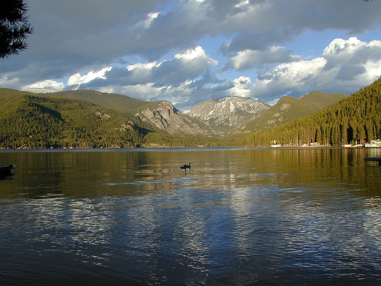
Grand Lake
Grand Lake is a reservoir of some 507 acres on the outflow =, in Colorado. The lake is in Grand County. Town of Grand Lake / USBR…
Reservoir
Explore around South Dakota
Sources
Every figure on this page comes from one of these public sources.