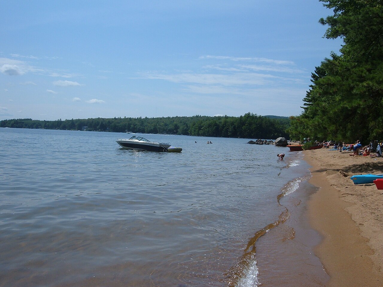
Sebago Lake
Sebago Lake is a reservoir of some 28,911 acres on the Presumpscot River, in Maine. You will find it in Cumberland County.…
Reservoir

State
This guide covers 19 lakes and reservoirs across Maine. 5 of them are reservoirs held back by a dam and 14 are natural lakes. Moosehead Lake is the biggest, covering roughly 75,466 acres. The deepest water on record here is at Sebago Lake, about 315 feet. Rivers that feed or drain them include the Penobscot River, the Damariscotta River and the Dead River. A public agency publishes a live water level for 3 of them, which is what the level pages show. The agency behind the most lakes here is Maine Warden Service. Across the state we map 4 named swimming spots and access points from federal and state sources.
Click a marker to open the lake page.
Each page has the live water level, weather, access points and sources.
Sebago Lake is a reservoir of some 28,911 acres on the Presumpscot River, in Maine. You will find it in Cumberland County.…
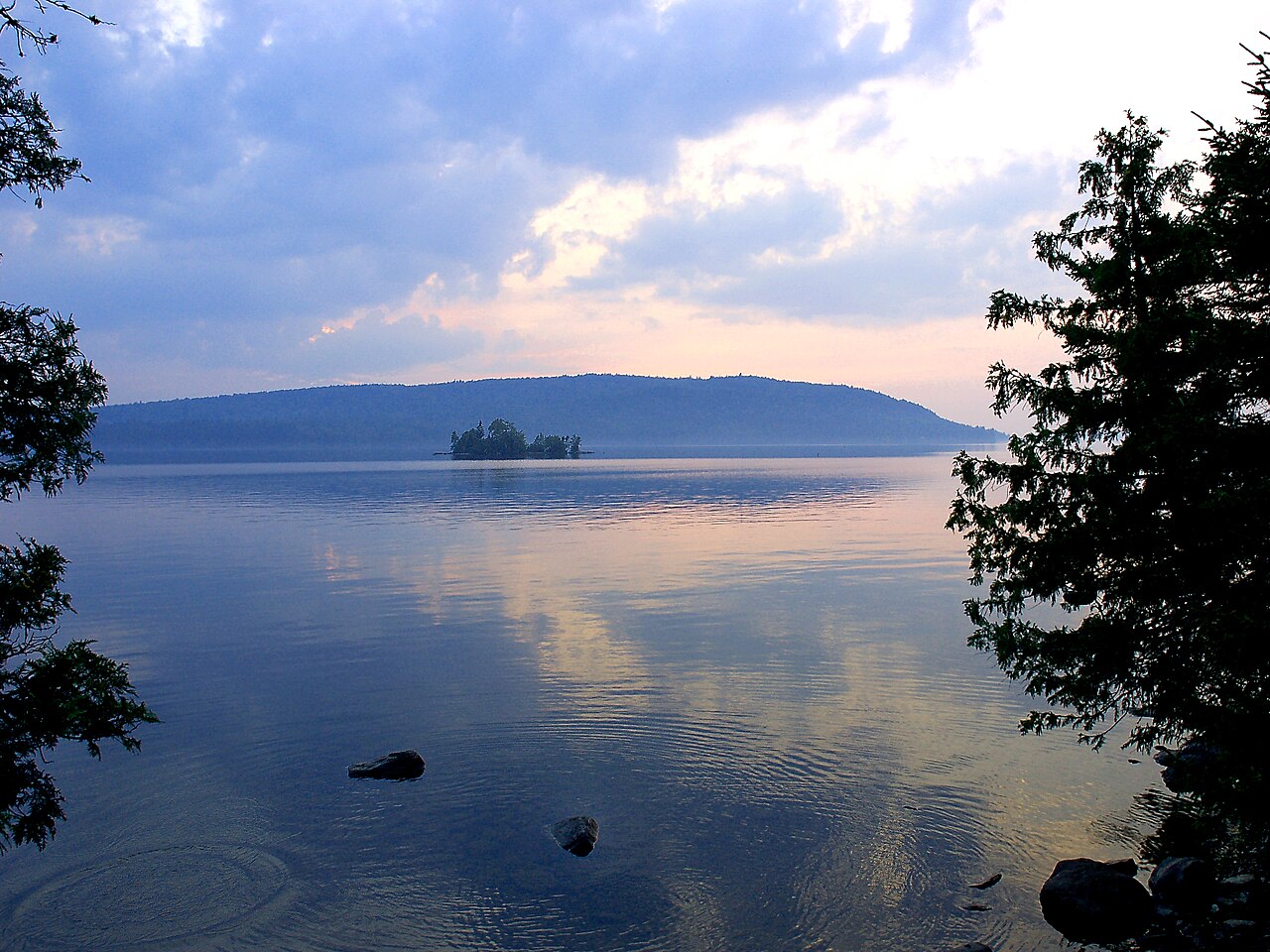
Moosehead Lake covers about 75,466 acres of the Kennebec River in Maine. It lies in Piscataquis County. It is managed by Maine…
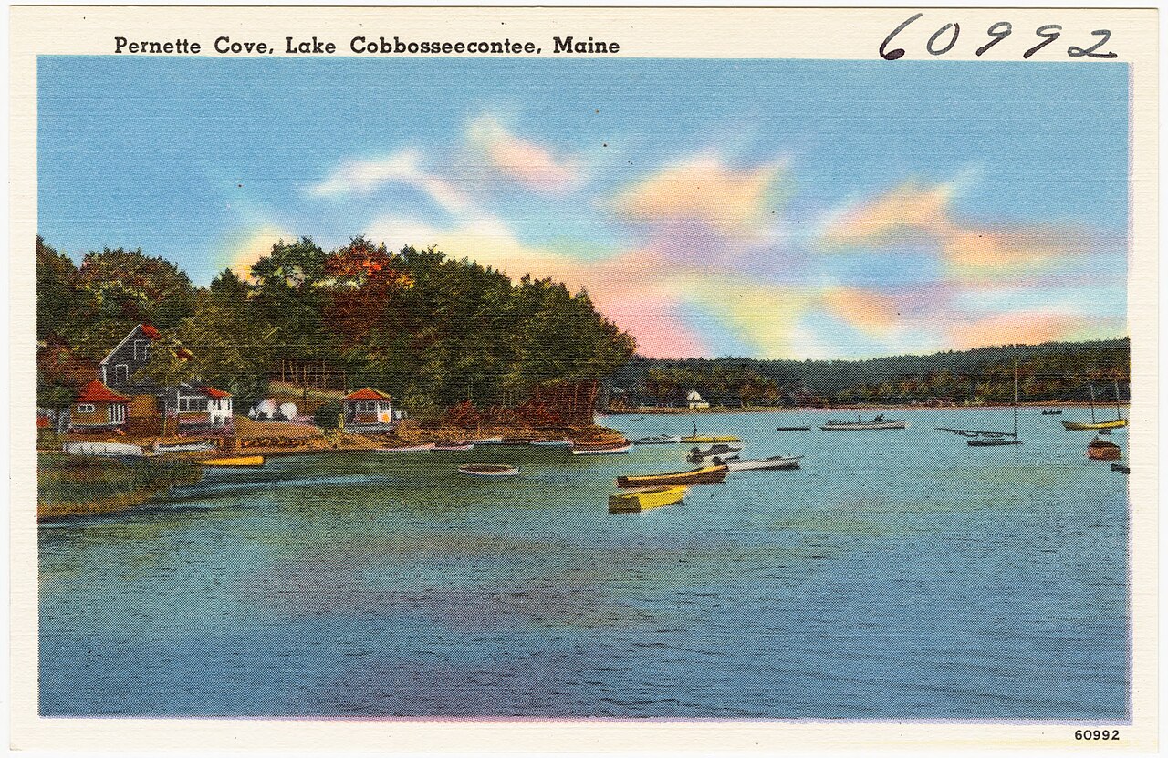
At roughly 5,543 acres, Cobbosseecontee Lake is one of the lakes covered in Maine. It lies in Kennebec County. Maine Dept. of…
Readings are refreshed from the operating agency and stamped with the time they were taken. Level changes what is usable on the shoreline, from beach width to ramp access.
| Lake | Level | Full pool | How full |
|---|---|---|---|
| Sebago Lake | 263.44 ft | — | no percent published |
| Moosehead Lake | — | — | no percent published |
| Cobbosseecontee Lake | — | — | no percent published |
Lakes and swimming spots near the main towns.