
CountiesBecker County
MinnesotaNatural lakeBecker County

Detroit Lake
Fed by the North Santiam River, Detroit Lake holds roughly 3,500 acres of water in Oregon. It lies in Marion County. Management is in the hands of USACE Portland District / Oregon State Parks. This guide maps 3 named swimming spots around its shoreline.
Coordinates46.7898, -95.8277
Surface area3,064 acres
Max depth89 ft
RiverPelican River
Managed byMN DNR / Pelican River Watershed District
Swimming beaches on Detroit Lake
No named swimming beach is mapped yet for this lake. Access is through agency day-use areas and boat ramps listed below. We add beach pages only when we can confirm a name, coordinates and an operating agency.
Detroit Lake on the map
Lake center, swimming spots and access points.
Weather and water temperature
Air temperature and wind from Open-Meteo. Water temperature only when the lake has a public sensor.
Weather data by Open-Meteo
What to know before you go to Detroit Lake
The center of the lake is at 44.6950, -122.2069. The surface sits around 1,565 feet above sea level. Water leaves through the North Santiam River. The deepest point on record is about 440 feet.
Public access at Detroit Lake covers 3 named swimming spots. These come from Recreation.gov (RIDB). Detroit Lake, Detroit Ranger District (US Highway 22) and Upper Arm Day Use Area are on the list. Unless the operating agency says otherwise, treat these as unsupervised swimming.
The same station reports water temperature, last read at 66.6 °F. Water quality is monitored unevenly on inland lakes, so posted notices are the most reliable guide. Swimming season in Oregon runs through the warm months, and day-use areas set their own opening dates.
The closest lakes in this guide are Green Peter Lake (Oregon, 20 mi), Blue River Lake (Oregon, 36 mi) and Cougar Reservoir (Oregon, 40 mi). Oregon has 48 lakes on this site in total.
The closest public station is 444306122144600, DETROIT LAKE AT LOG BOOM BEHIND DETROIT DAM, OR, about 2 miles away; it measures a different body of water, so its reading is not a stand-in for this one. There is no live level reading for Detroit Lake. The agencies that run this water do not publish one openly, and we do not estimate what has not been measured. Where an agency publishes a figure, we show it with the time it was taken; here there is none.
Questions about Detroit Lake
Can you swim in Detroit Lake?
Yes. This guide maps 3 named swimming spots around the lake, including Detroit Lake and Detroit Ranger District (US Highway 22). None is staffed by a lifeguard unless the operating agency posts one.
How big is Detroit Lake?
About 3,500 acres. Maximum depth is around 440 feet.
What is the water temperature at Detroit Lake?
The sensor last read 66.6 °F. The page refreshes it from the gauge when you load it.
What other lakes are near Detroit Lake?
The closest in this guide is Green Peter Lake, about 20 miles away in Oregon.
Lakes near Detroit Lake
Other lakes in this guide, ordered by distance.
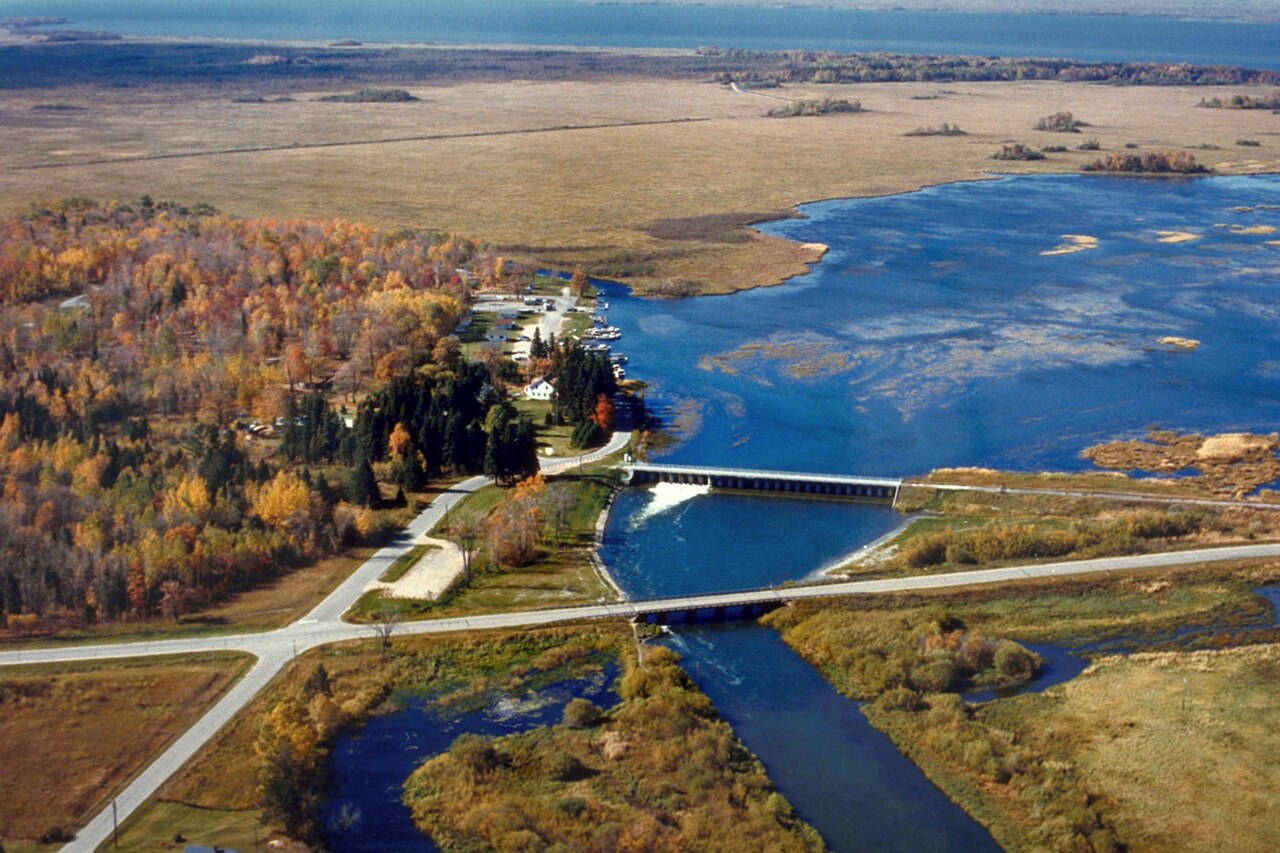
Leech Lake
Fed by the Leech Lake River, Leech Lake holds roughly 111,445 acres of water in Minnesota. You will find it in Cass County. It is…
Natural lake3 beaches
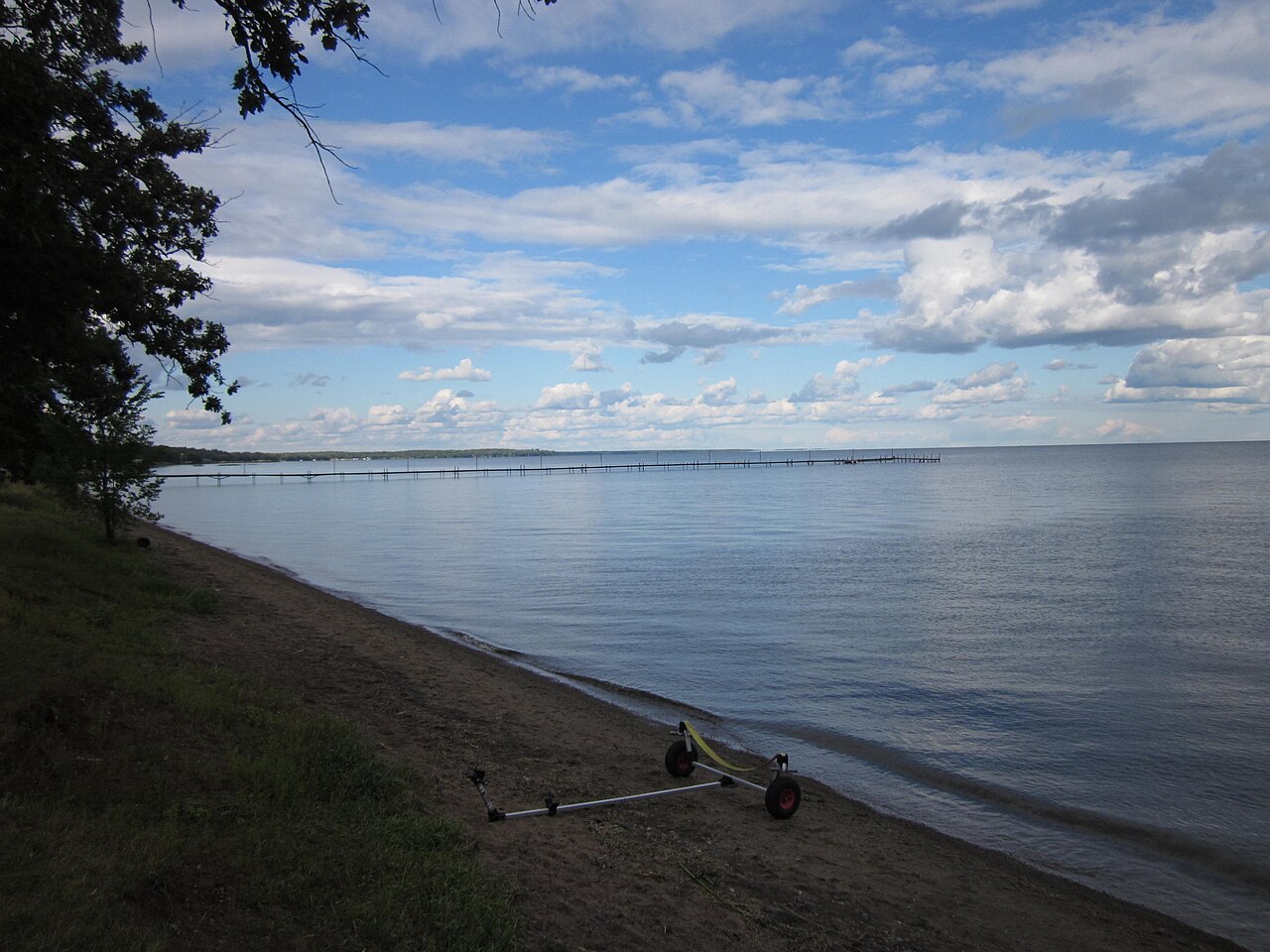
Mille Lacs Lake
Fed by the Rum River, Mille Lacs Lake holds roughly 132,448 acres of water in Minnesota. You will find it in Mille Lacs County.…
Natural lake
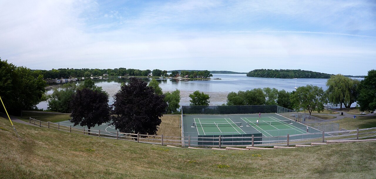
Lake Waconia
Lake Waconia is a 3,080-acre lake in Minnesota. You will find it in Carver County. It is managed by MN DNR / Carver County.
Natural lake
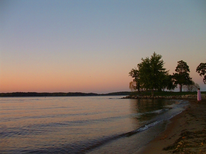
Lake Minnetonka
Fed by the Minnehaha Creek, Lake Minnetonka holds roughly 14,579 acres of water in Minnesota. The lake is in Hennepin County. It…
Natural lake
Lake Vermilion
Lake Vermilion is a 39,290-acre lake on the Vermilion River in Minnesota. You will find it in St. Louis County. Management is in…
Natural lake1 beach
White Bear Lake
White Bear Lake is a 2,439-acre lake on the catchment = in Minnesota. The lake is in Washington County. WBLCD / MN DNR manages it.
Natural lake
Explore around Minnesota
Sources
Every figure on this page comes from one of these public sources.