
CountiesCass County
MinnesotaNatural lakeCass County
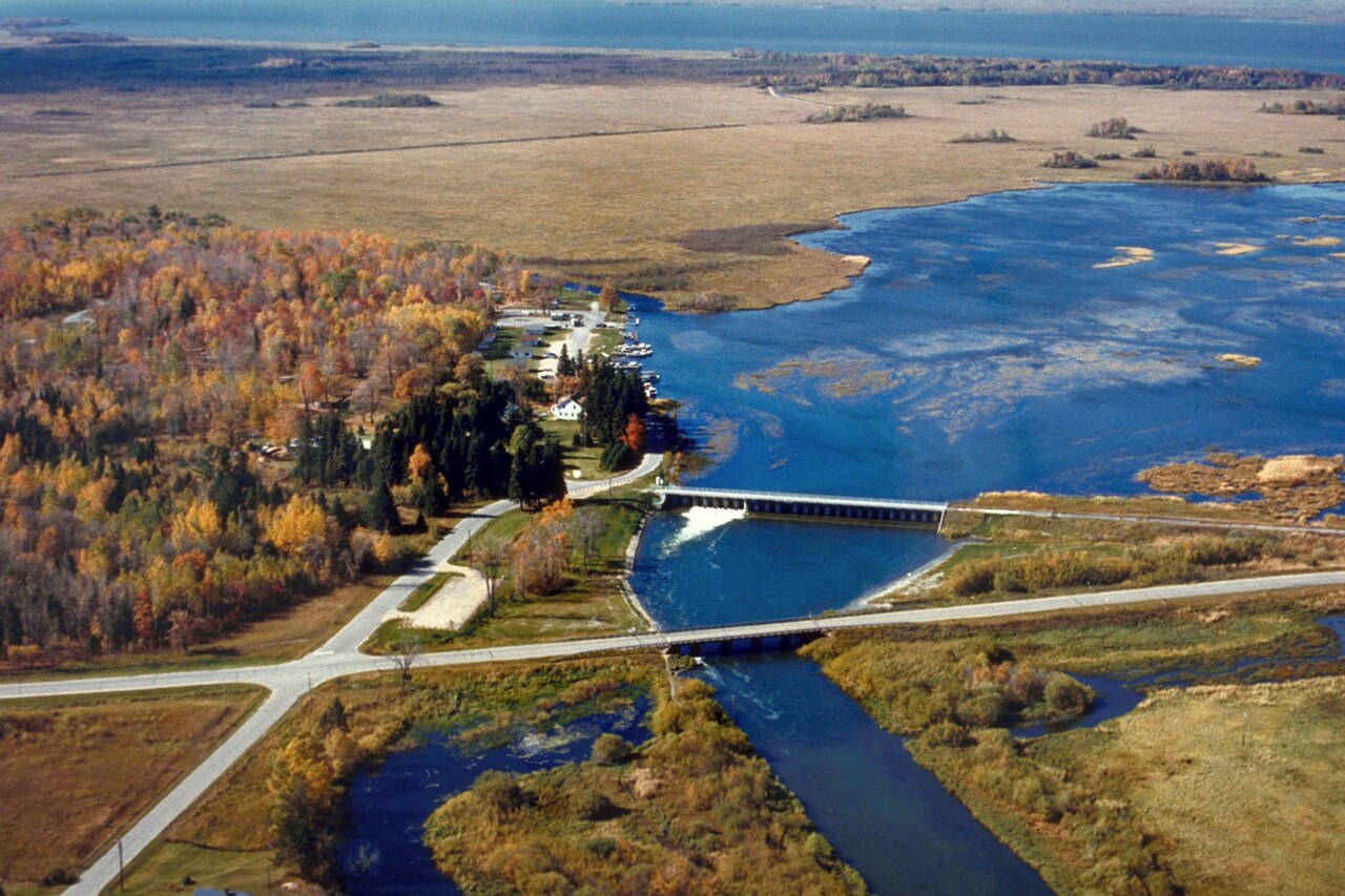
Leech Lake
Fed by the Leech Lake River, Leech Lake holds roughly 111,445 acres of water in Minnesota. You will find it in Cass County. It is managed by USACE St. Paul District. The gauge last read 94.27 ft.
Coordinates47.1667, -94.3667
Surface area111,445 acres
Max depth151 ft
RiverLeech Lake River
Managed byUSACE St. Paul District
Swimming beaches on Leech Lake
3 named swimming spots and shoreline access points, from USGS GNIS, Recreation.gov and the Forest Service. None is staffed by a lifeguard unless the operating agency posts one.
Norway Beach Swimming Area
Managed by Chippewa National Forest; open May - September; fee information published, published season; 16.5 mi from the lake…
USDA Forest ServiceSwimmingFee Information PublishedPublished Season
Leech Lake on the map
Lake center, swimming spots and access points.
Weather and water temperature
Air temperature and wind from Open-Meteo. Water temperature only when the lake has a public sensor.
Weather data by Open-Meteo
Leech Lake at a glance
The center of the lake is at 47.1667, -94.3667. Maximum depth is around 151 feet. Surface elevation is about 1,296 feet.
Around Leech Lake this guide maps 3 named swimming spots and 3 public recreation areas. Recreation areas nearby include Leech Lake Recreation Area, Winnibigoshish Lake Day Use and Winnibigoshish Recreation Area. These come from Recreation.gov (RIDB) and USDA Forest Service. They include Walker Area, Norway Beach Swimming Area and Cass Lake Area. Unless the operating agency says otherwise, treat these as unsupervised swimming.
No public sensor reports water temperature at Leech Lake, so the panel shows air temperature and wind. Freshwater advisories are issued locally, so check the state health department before you swim. Most Minnesota day-use areas open for the summer season and close outside it.
If Leech Lake is busy, the nearest alternatives here are Lake Winnibigoshish (Minnesota, 21 mi), Lake Bemidji (Minnesota, 32 mi) and Bowstring Lake (Minnesota, 34 mi). Minnesota has 34 lakes on this site in total.
Readings come from station 05205900 (LEECH LAKE AT SUGAR POINT NEAR FEDERAL DAM, MN). The last value stored here, 94.27 ft, is from 2026-09-09. The top of the dam sits at 1,299.5 ft. The Corps of Engineers puts the top of the flood pool at 1,297.9 ft. Water level decides what is usable on the shoreline, from beach width to ramp access.
Recreation areas on Leech Lake
3 public recreation areas mapped around the lake by the U.S. Army Corps of Engineers. Facilities vary by area; check the managing office for opening dates and fees.
Leech Lake Recreation Area Winnibigoshish Lake Day Use Winnibigoshish Recreation Area
Source: USACE Recreation Areas
Questions about Leech Lake
What is the current water level at Leech Lake?
The latest reading is 94.27 ft, from USGS gauge 05205900.
Can you swim in Leech Lake?
Yes. This guide maps 3 named swimming spots around the lake, including Walker Area and Norway Beach Swimming Area. None is staffed by a lifeguard unless the operating agency posts one.
How big is Leech Lake?
About 111,445 acres. Maximum depth is around 151 feet.
What other lakes are near Leech Lake?
The closest in this guide is Lake Winnibigoshish, about 21 miles away in Minnesota.
Lakes near Leech Lake
Other lakes in this guide, ordered by distance.
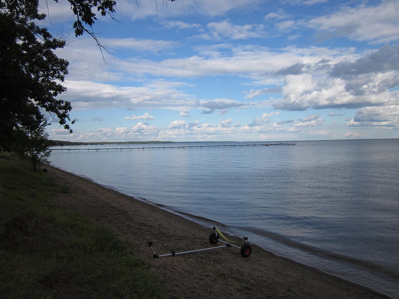
Mille Lacs Lake
Fed by the Rum River, Mille Lacs Lake holds roughly 132,448 acres of water in Minnesota. You will find it in Mille Lacs County.…
Natural lake

Detroit Lake
Fed by the North Santiam River, Detroit Lake holds roughly 3,500 acres of water in Oregon. It lies in Marion County. Management…
Natural lake
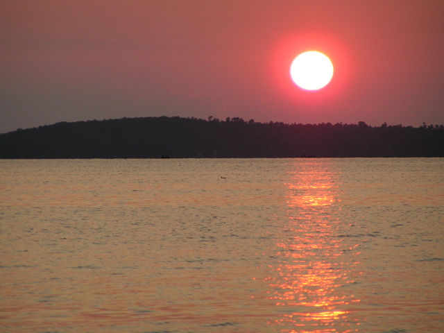
Lake Vermilion
Lake Vermilion is a 39,290-acre lake on the Vermilion River in Minnesota. You will find it in St. Louis County. Management is in…
Natural lake1 beach
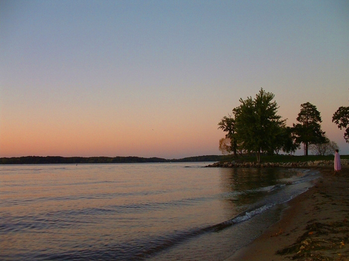
Lake Minnetonka
Fed by the Minnehaha Creek, Lake Minnetonka holds roughly 14,579 acres of water in Minnesota. The lake is in Hennepin County. It…
Natural lake
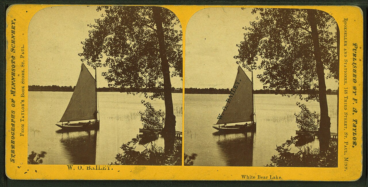
White Bear Lake
White Bear Lake is a 2,439-acre lake on the catchment = in Minnesota. The lake is in Washington County. WBLCD / MN DNR manages it.
Natural lake
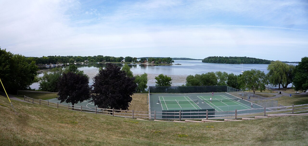
Lake Waconia
Lake Waconia is a 3,080-acre lake in Minnesota. You will find it in Carver County. It is managed by MN DNR / Carver County.
Natural lake
Explore around Minnesota
Sources
Every figure on this page comes from one of these public sources.