
CountiesPennington County
South DakotaReservoirPennington County
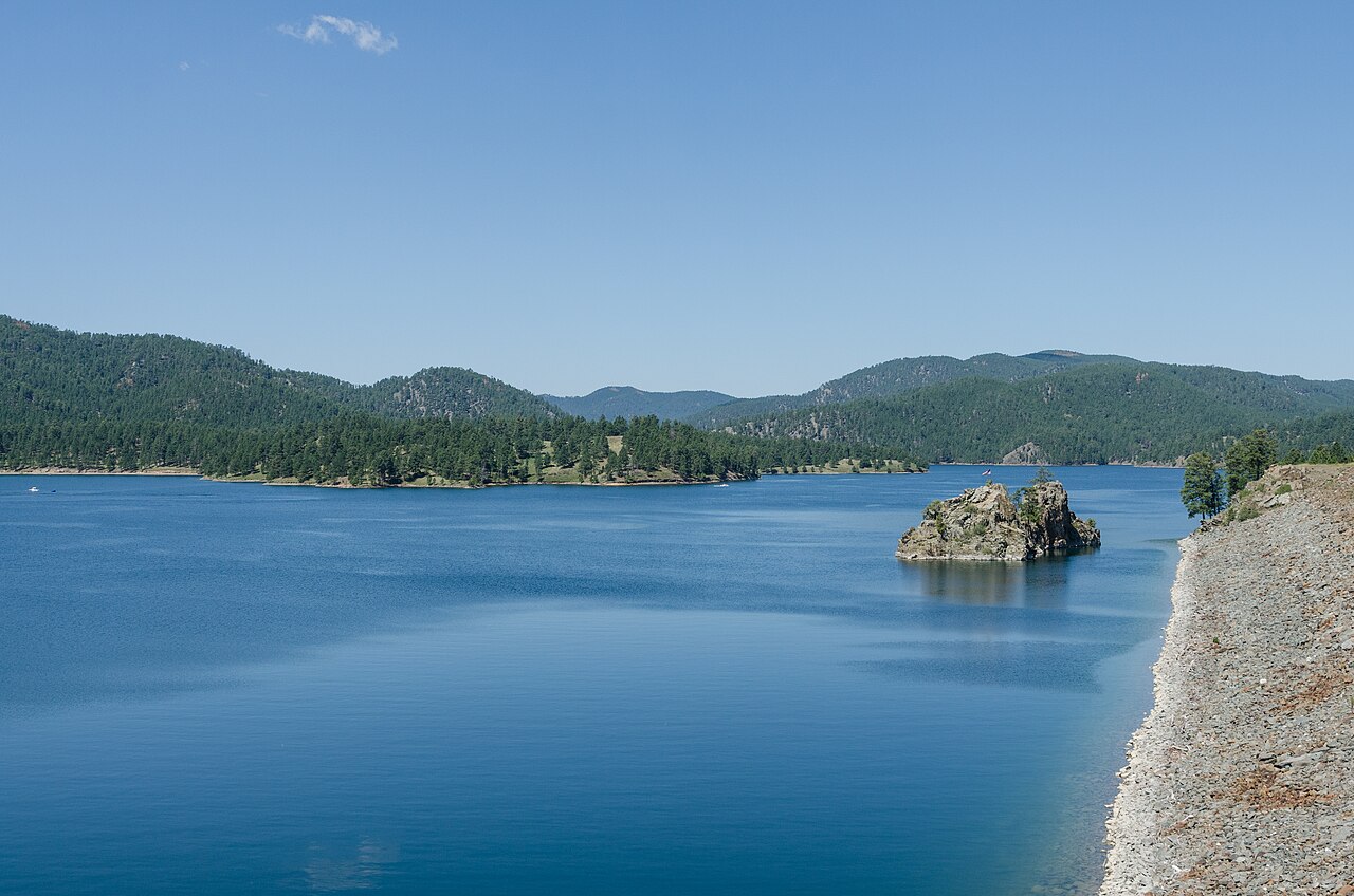
Pactola Reservoir
Pactola Reservoir is a 800-acre reservoir on the Rapid Creek in South Dakota. You will find it in Pennington County. It is managed by USFS Black Hills NF / USBR. The gauge last read 58.60 ft.
Water level today: 58.60 ft · see the full record
Coordinates44.0730, -103.4930
Surface area800 acres
Max depth150 ft
RiverRapid Creek
Managed byUSFS Black Hills NF / USBR
Swimming beaches on Pactola Reservoir
2 named swimming spots and shoreline access points, from USGS GNIS, Recreation.gov and the Forest Service. None is staffed by a lifeguard unless the operating agency posts one.
Pactola Reservoir Complex
Managed by Black Hills National Forest; fee information published; 0.3 mi from the lake center.
USDA Forest ServiceSwimmingFee Information Published
Pactola Point Swim Beach
Managed by Black Hills National Forest; fee information published; 0.6 mi from the lake center.
USDA Forest ServiceSwimmingFee Information Published
Pactola Reservoir on the map
Lake center, swimming spots and access points.
Weather and water temperature
Air temperature and wind from Open-Meteo. Water temperature only when the lake has a public sensor.
Weather data by Open-Meteo
Water level today
Station 06411000, PACTOLA RESERVOIR NEAR SILVER CITY SD, publishes the water surface elevation used here. The last value stored here, 58.60 ft, is from 2026-09-09. A low pool exposes stumps and mud in the shallow arms of the lake.
58.60 ft trend not available
Pactola Reservoir: beaches, ramps and water level
On the map, Pactola Reservoir is centered near 44.0730, -103.4930. Releases go downstream into the Rapid Creek. Maximum depth is around 150 feet. The surface sits around 4,655 feet above sea level.
The closest lakes in this guide are Deerfield Reservoir (South Dakota, 16 mi), Belle Fourche Reservoir (South Dakota, 47 mi) and Angostura Reservoir (South Dakota, 53 mi). South Dakota has 11 lakes on this site in total.
There is no water temperature sensor here, so only air conditions are shown. Season dates vary by park; the operating agency publishes them each spring. Check the operating agency for advisories before any water contact, especially for blue-green algae in late summer.
Station 06411000, PACTOLA RESERVOIR NEAR SILVER CITY SD, publishes the water surface elevation used here. The last value stored here, 58.60 ft, is from 2026-09-09. A low pool exposes stumps and mud in the shallow arms of the lake.
Around Pactola Reservoir this guide maps 2 named swimming spots. These come from USDA Forest Service. Pactola Reservoir Complex and Pactola Point Swim Beach are on the list. Unless the operating agency says otherwise, treat these as unsupervised swimming.
Questions about Pactola Reservoir
Can you swim in Pactola Reservoir?
Yes. This guide maps 2 named swimming spots around the lake, including Pactola Reservoir Complex and Pactola Point Swim Beach. None is staffed by a lifeguard unless the operating agency posts one.
How big is Pactola Reservoir?
About 800 acres. Maximum depth is around 150 feet.
What other lakes are near Pactola Reservoir?
The closest in this guide is Deerfield Reservoir, about 16 miles away in South Dakota.
Lakes near Pactola Reservoir
Other lakes in this guide, ordered by distance.
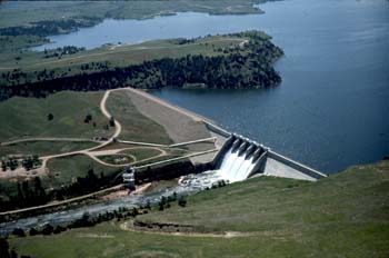
Angostura Reservoir
Angostura Reservoir is a 4,407-acre reservoir on the Cheyenne River in South Dakota. It lies in Fall River County. It is managed…
Reservoir
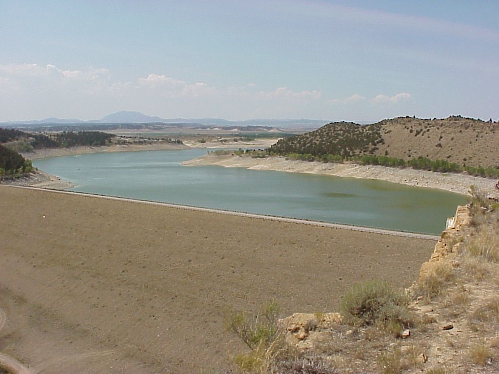
Glendo Reservoir
Fed by the North Platte River, Glendo Reservoir holds roughly 12,000 acres of water in Wyoming. It lies in Platte County. Wyoming…
Reservoir
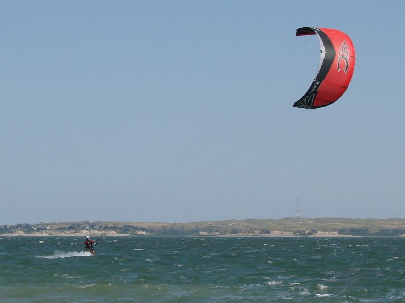
Lake McConaughy
Lake McConaughy covers about 35,700 acres of the outflow = in Nebraska. You will find it in Keith County. It is managed by…
Reservoir
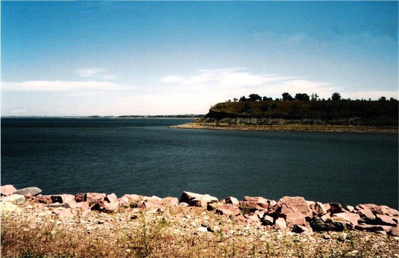
Lake Sakakawea
Lake Sakakawea is a 382,000-acre reservoir on the Missouri River in North Dakota. Management is in the hands of USACE Omaha…
Reservoir
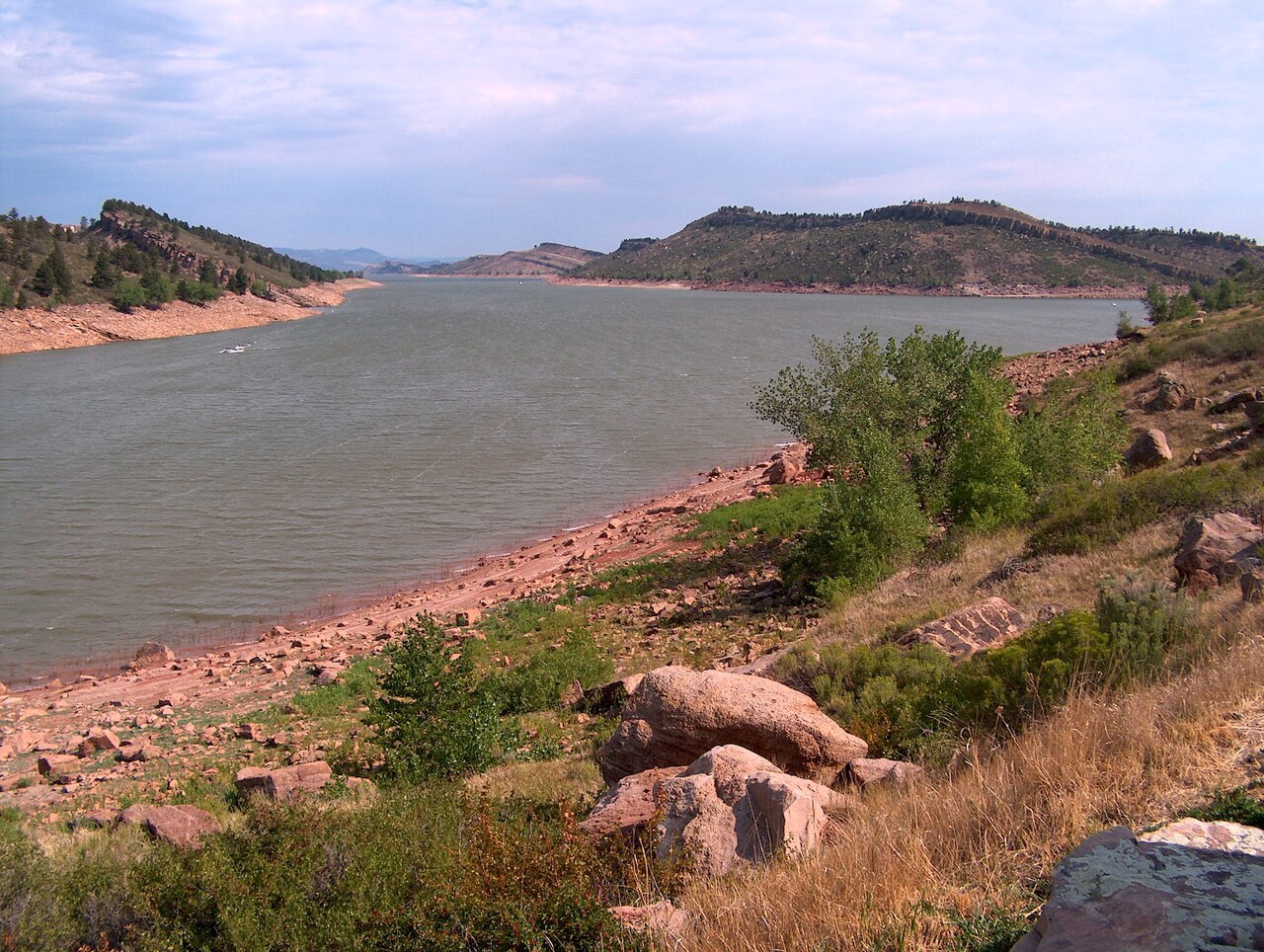
Horsetooth Reservoir
Horsetooth Reservoir is a 1,899-acre reservoir on the outflow = in Colorado. Its shoreline falls inside Larimer County.…
Reservoir
Union Reservoir
At roughly 717 acres, Union Reservoir is one of the lakes covered in Colorado. Its shoreline falls inside Weld County. It is…
Reservoir
Explore around South Dakota
Sources
Every figure on this page comes from one of these public sources.