
CountiesSt. Tammany County
LouisianaNatural lakeSt. Tammany County
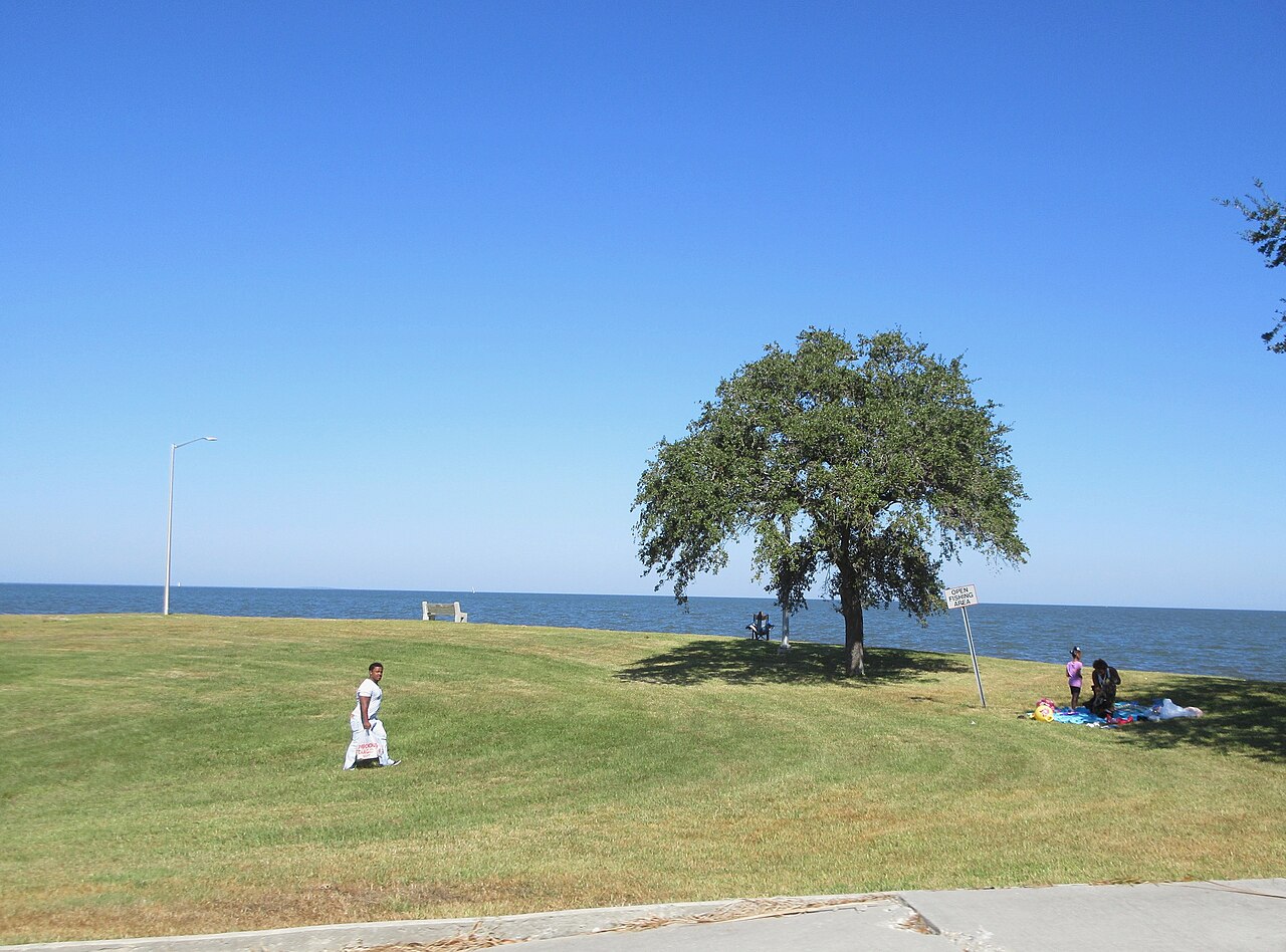
Lake Pontchartrain
Lake Pontchartrain covers about 454,427 acres of the outflow = in Louisiana. You will find it in St. Tammany County. Louisiana DOTD / LDWF (multiple) manages it. The gauge last read 0.75 ft.
Coordinates30.1889, -90.1014
Surface area454,427 acres
Max depth10 ft
Riveroutflow =
Managed byLouisiana DOTD / LDWF (multiple)
Swimming beaches on Lake Pontchartrain
1 named swimming spot and shoreline access points, from USGS GNIS, Recreation.gov and the Forest Service. None is staffed by a lifeguard unless the operating agency posts one.
Lake Pontchartrain on the map
Lake center, swimming spots and access points.
Weather and water temperature
Air temperature and wind from Open-Meteo. Water temperature only when the lake has a public sensor.
Weather data by Open-Meteo
Planning a day at Lake Pontchartrain
The center of the lake is at 30.1889, -90.1014. The deepest point on record is about 10 feet.
Check the operating agency for advisories before any water contact, especially for blue-green algae in late summer. Water temperature is not measured at this lake by any public agency we read. Swimming season in Louisiana runs through the warm months, and day-use areas set their own opening dates.
Station 301200090072400, L Pontchartrain at Crossover 4 near Mandeville, LA, publishes the water surface elevation used here. Over the record shown on the level page the gauge has moved between -1.76 ft and 2.59 ft (low on 2026-02-01, high on 2025-10-05). The last value stored here, 0.75 ft, is from 2026-09-09. A low pool exposes stumps and mud in the shallow arms of the lake.
Public access at Lake Pontchartrain covers 1 named swimming spot and 12 public recreation areas. These come from USGS GNIS. They include Olimpic Beach. Recreation areas nearby include East Guide, St. Charles Recreation Area and Atv Rec Area. Parking is the usual limit on busy summer weekends.
The closest lakes in this guide are Lake Palourde (Louisiana, 70 mi), Lake Fausse Pointe (Louisiana, 88 mi) and False River (Louisiana, 93 mi). In all, 15 lakes in Louisiana are covered here.
Recreation areas on Lake Pontchartrain
12 public recreation areas mapped around the lake by the U.S. Army Corps of Engineers. Facilities vary by area; check the managing office for opening dates and fees.
East Guide St. Charles Recreation Area Atv Rec Area North Main Road East Guide S of 61 area 4-Wheel Drive Truck Area West Guide High Water Dispersed Dog Field Trails Rc Club Forebay Rec Area Montz Park Area
Source: USACE Recreation Areas
Questions about Lake Pontchartrain
What is the current water level at Lake Pontchartrain?
The latest reading is 0.75 ft, from USGS gauge 301200090072400.
Can you swim in Lake Pontchartrain?
Yes. This guide maps 1 named swimming spot around the lake, including Olimpic Beach. None is staffed by a lifeguard unless the operating agency posts one.
How big is Lake Pontchartrain?
About 454,427 acres. Maximum depth is around 10 feet.
What other lakes are near Lake Pontchartrain?
The closest in this guide is Lake Palourde, about 70 miles away in Louisiana.
Lakes near Lake Pontchartrain
Other lakes in this guide, ordered by distance.
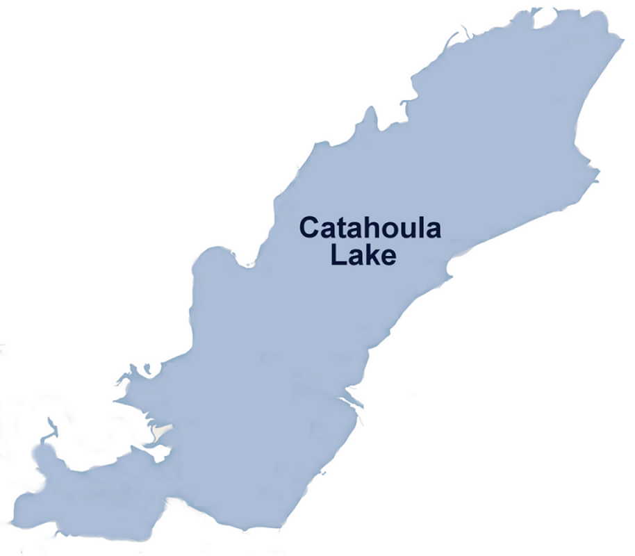
Catahoula Lake
Catahoula Lake covers about 30,000 acres of the Little River in Louisiana. The lake is in LaSalle County. Management is in the…
Natural lake
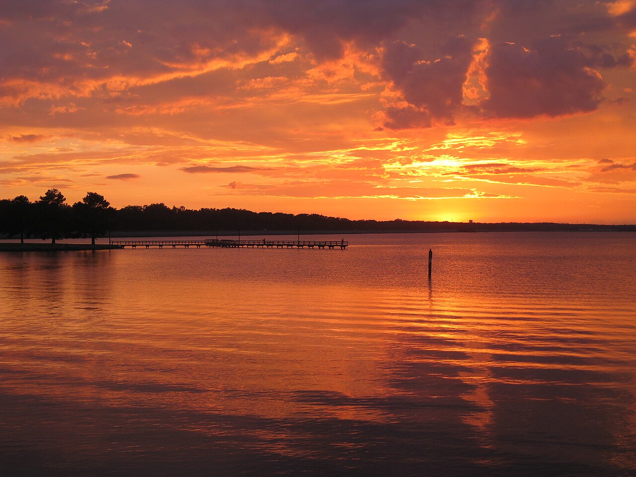
Ross Barnett Reservoir
Ross Barnett Reservoir is a reservoir of some 33,000 acres on the Pearl River, in Mississippi. You will find it in Rankin County.…
Reservoir
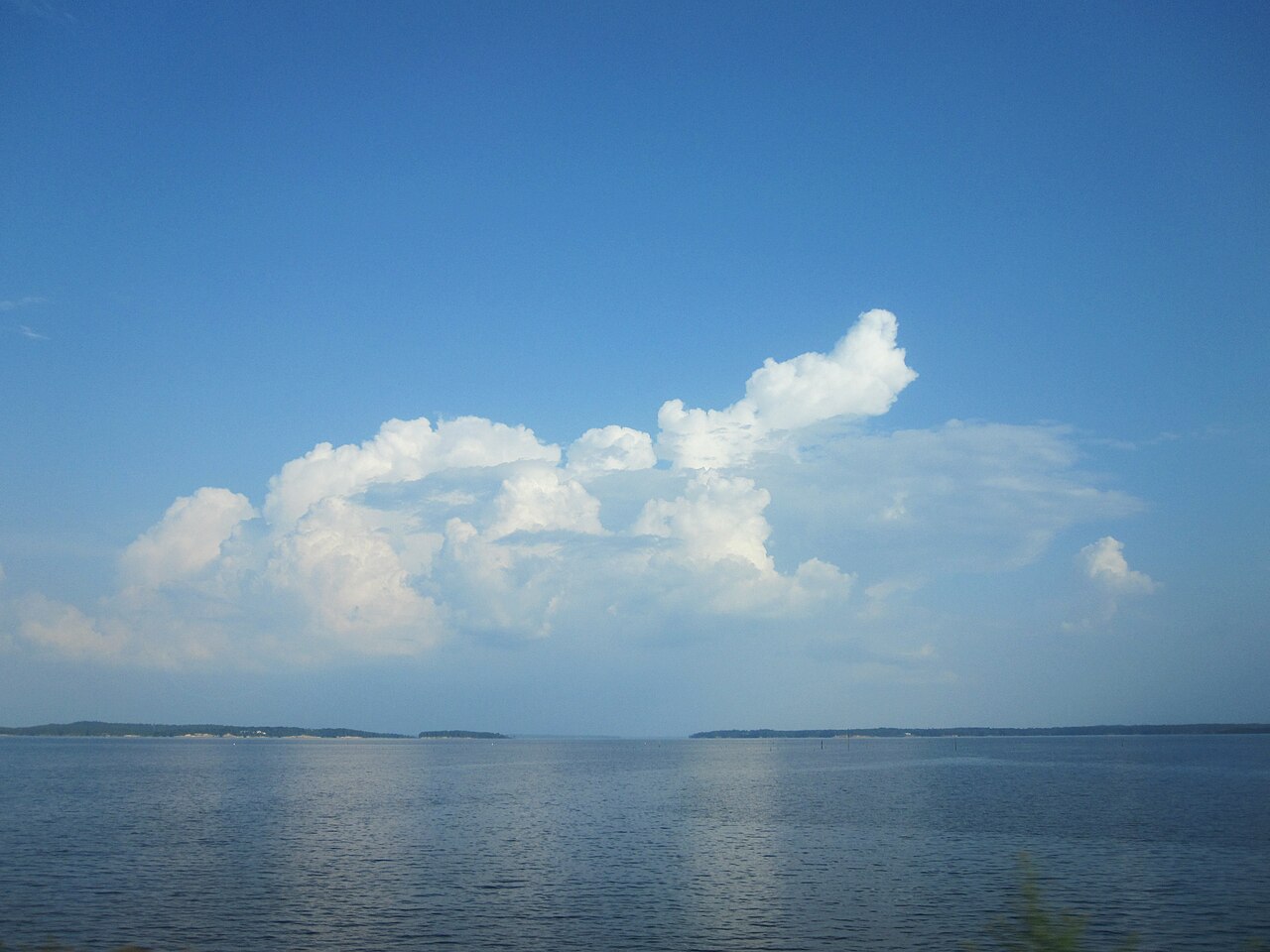
Toledo Bend Reservoir
Toledo Bend Reservoir dams the Sabine River along the Texas and Louisiana state line and covers about 185,000 acres, the largest…
Reservoir
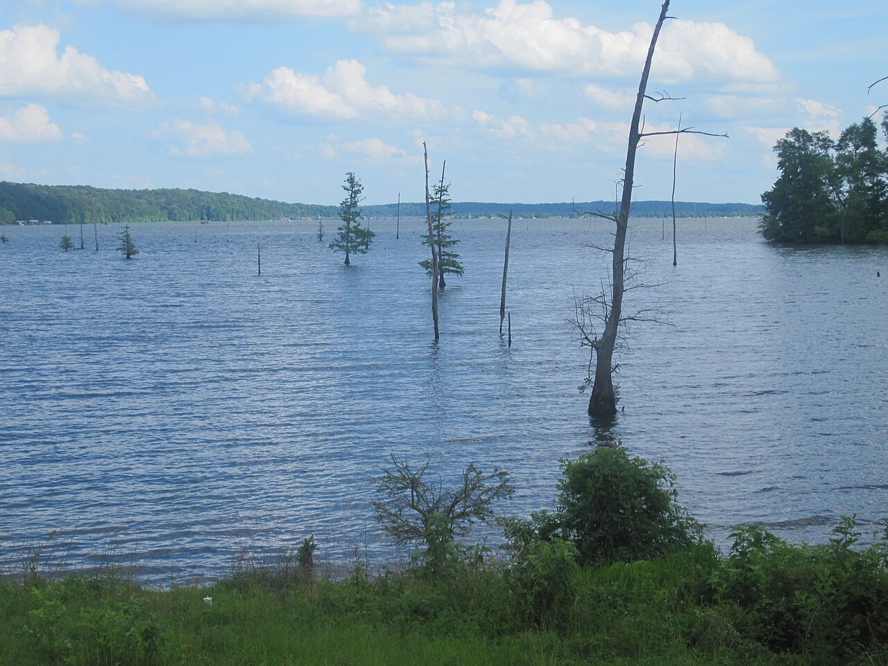
Lake D'Arbonne
Lake D'Arbonne is a reservoir of some 15,321 acres on the oceans =, in Louisiana. You will find it in Union Parish. It is managed…
Reservoir
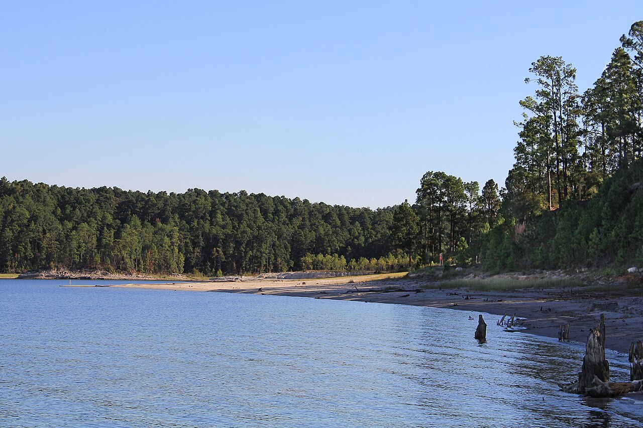
Sam Rayburn Reservoir
Sam Rayburn Reservoir spreads across Deep East Texas about 70 miles north of Beaumont, fed by the Angelina River. The Army Corps…
67% fullReservoir
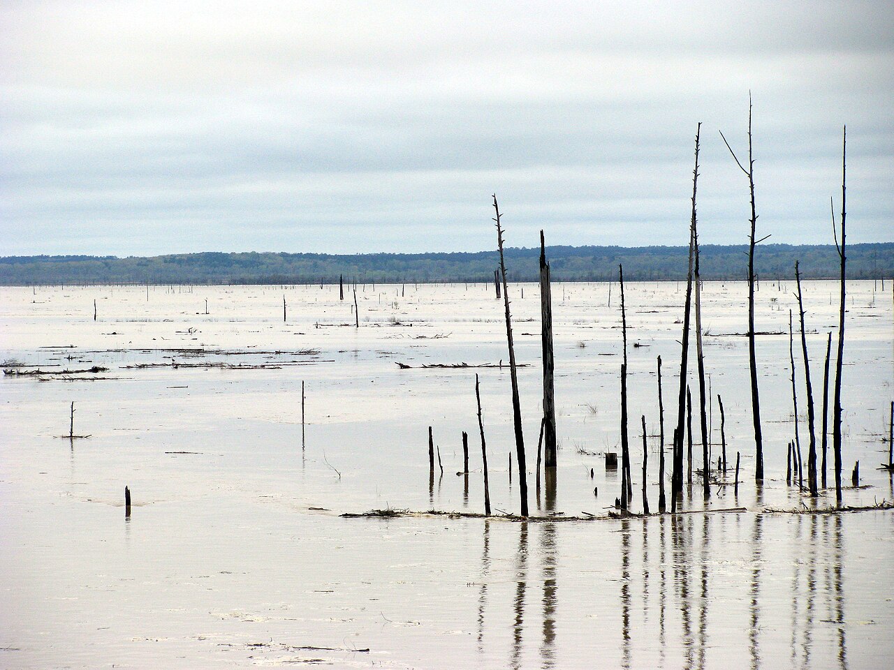
Grenada Lake
Fed by the Yalobusha River, Grenada Lake holds roughly 35,000 acres of water in Mississippi. Its shoreline falls inside Grenada…
Reservoir
Explore around Louisiana
Sources
Every figure on this page comes from one of these public sources.