
CountiesGrenada County
MississippiReservoirGrenada County
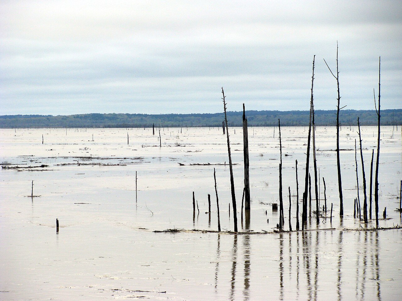
Grenada Lake
Fed by the Yalobusha River, Grenada Lake holds roughly 35,000 acres of water in Mississippi. Its shoreline falls inside Grenada County. USACE Vicksburg District manages it.
Coordinates33.8194, -89.7736
Surface area35,000 acres
Full pool193.0 ft
RiverYalobusha River
Managed byUSACE Vicksburg District
Swimming beaches on Grenada Lake
No named swimming beach is mapped yet for this lake. Access is through agency day-use areas and boat ramps listed below. We add beach pages only when we can confirm a name, coordinates and an operating agency.
Grenada Lake on the map
Lake center, swimming spots and access points.
Weather and water temperature
Air temperature and wind from Open-Meteo. Water temperature only when the lake has a public sensor.
Weather data by Open-Meteo
A closer look at Grenada Lake
Grenada Lake sits at 33.8194, -89.7736. The surface sits around 177 feet above sea level. Outflow feeds the Yalobusha River.
Nobody publishes a continuous level for Grenada Lake in a form this guide can read, so the page carries access and weather instead. For a lake this size, the park office is the fastest way to learn how the water sits today.
Public access at Grenada Lake covers 12 public recreation areas and 1 boat ramp. Recreation areas nearby include South Abutment B, South Abutment A and Christian Camp North Mississippi. Launch points include Grenada Landing A.. Assume no lifeguard is on duty and keep children within reach.
Nearby water includes Wolf Lake (Mississippi, 19 mi), Enid Lake (Mississippi, 24 mi) and Sardis Lake (Mississippi, 41 mi). Mississippi has 11 lakes on this site in total.
Algae blooms are seasonal and local: look for posted signs at the ramp or park entrance. Season dates vary by park; the operating agency publishes them each spring. There is no water temperature sensor here, so only air conditions are shown.
Recreation areas on Grenada Lake
12 public recreation areas mapped around the lake by the U.S. Army Corps of Engineers. Facilities vary by area; check the managing office for opening dates and fees.
South Abutment B South Abutment A Christian Camp North Mississippi North Abutment Cedar Point Wolf Creek Hugh White State Park Piney Woods Cape Retreat Lower Torrance Carver Point Upper Torrance
Source: USACE Recreation Areas
Boat ramps and access points
Public launch points recorded around the lake. Low water can close shallow ramps, so check the level before hauling a trailer.
| Name | Operated by | Distance | Source |
|---|---|---|---|
| Grenada Landing A | Corps Of Engineers | 1.2 mi | source |
Ramp data: USACE Recreation Areas
Questions about Grenada Lake
What is full pool at Grenada Lake?
Full pool is 193.0 ft. Water above that level is flood storage and is released as conditions allow.
Is there a beach at Grenada Lake?
No named swimming beach appears in the federal and state datasets this guide reads. Check the operating agency for day-use areas on the ground.
How big is Grenada Lake?
About 35,000 acres.
What other lakes are near Grenada Lake?
The closest in this guide is Wolf Lake, about 19 miles away in Mississippi.
Lakes near Grenada Lake
Other lakes in this guide, ordered by distance.
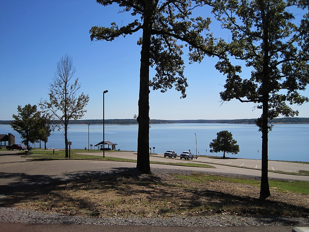
Enid Lake
Fed by the Yocona River, Enid Lake holds roughly 16,130 acres of water in Mississippi. The lake is in Yalobusha County. It is…
Reservoir
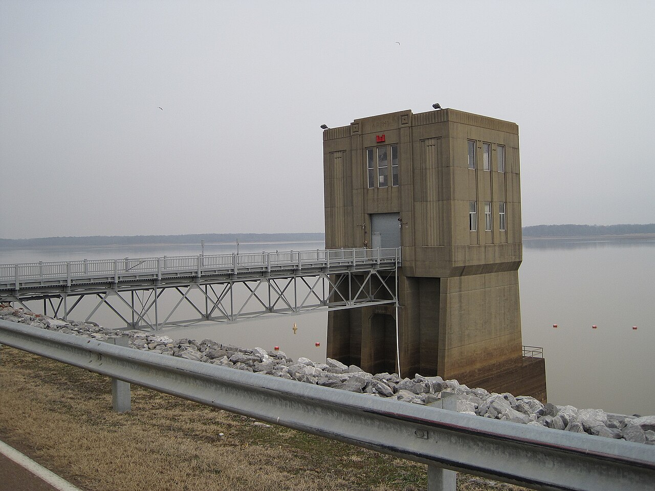
Arkabutla Lake
Arkabutla Lake is a 11,870-acre reservoir on the Coldwater River in Mississippi. The lake is in DeSoto County. It is managed by…
Reservoir
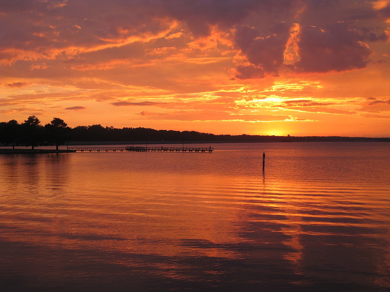
Ross Barnett Reservoir
Ross Barnett Reservoir is a reservoir of some 33,000 acres on the Pearl River, in Mississippi. You will find it in Rankin County.…
Reservoir
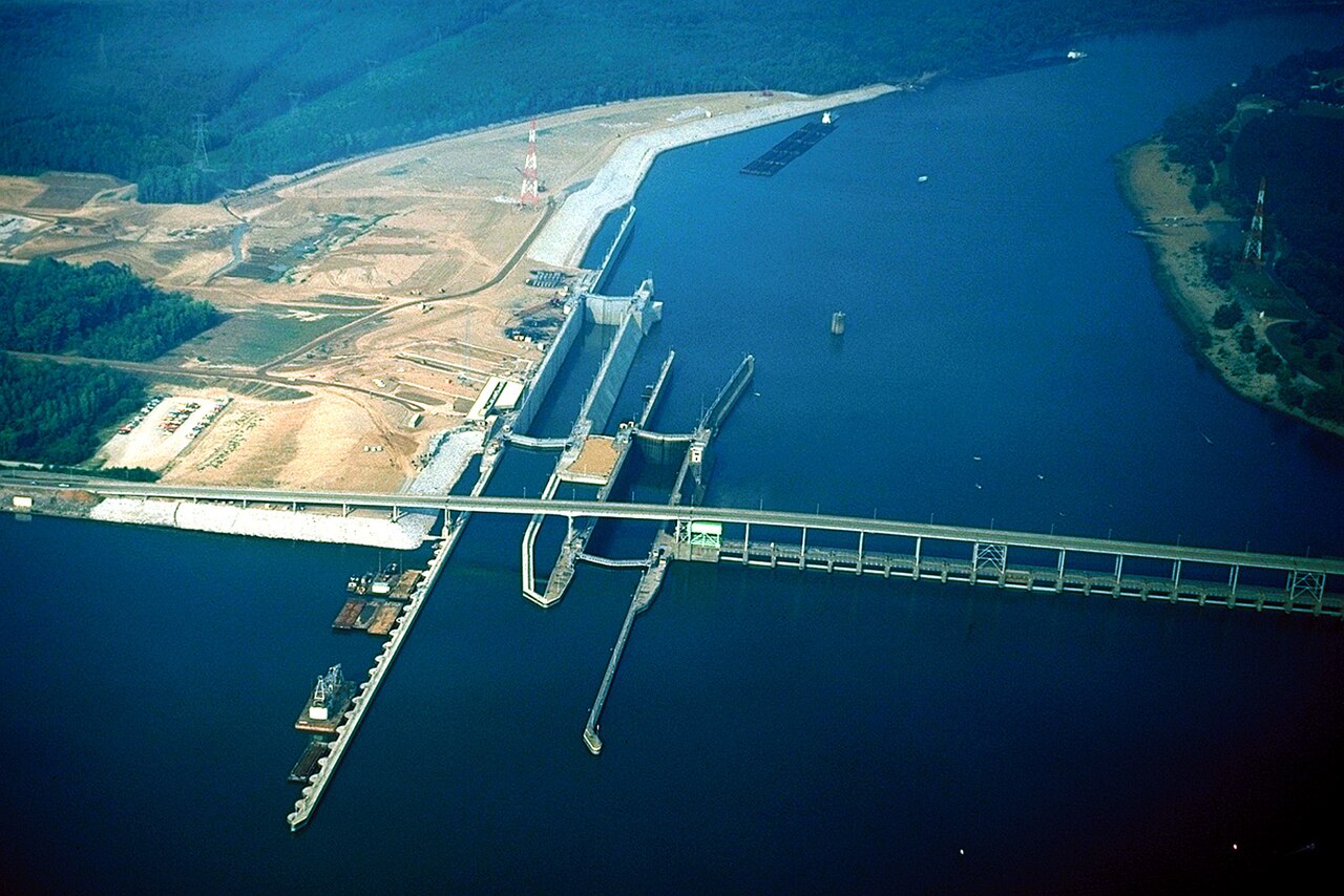
Pickwick Lake
Pickwick Lake is a reservoir of some 42,996 acres on the Tennessee River, Tennessee-Tombigbee Waterway, in Mississippi. Its…
Reservoir
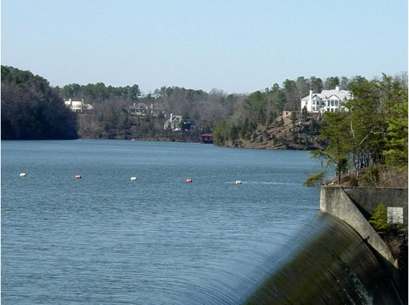
Lake Tuscaloosa
Lake Tuscaloosa is a 5,885-acre reservoir on the catchment = in Alabama. The lake is in Tuscaloosa County. It is managed by City…
Reservoir
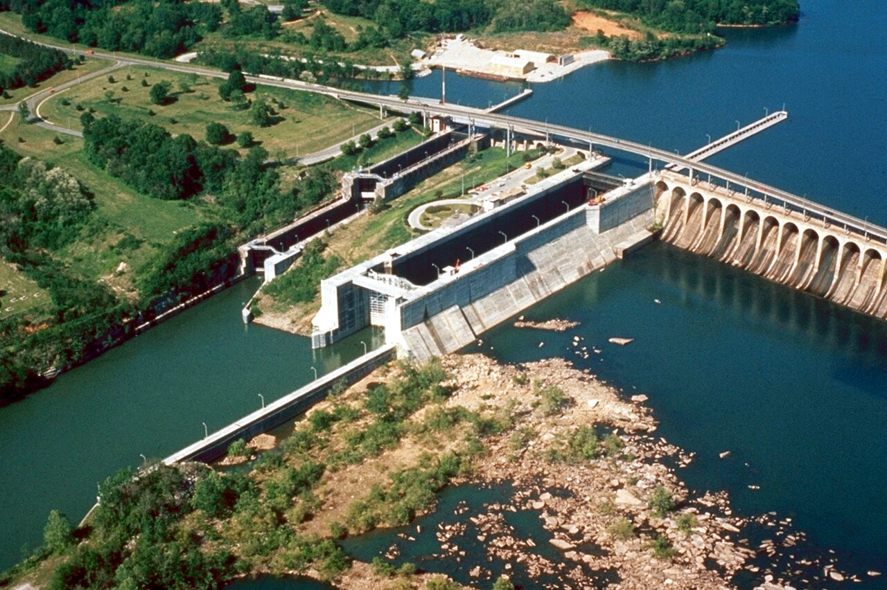
Wilson Lake
Wilson Lake is a reservoir of some 9,045 acres on the Saline River, in Kansas. You will find it in Russell County. Management is…
Reservoir
Explore around Mississippi
Sources
Every figure on this page comes from one of these public sources.