
CountiesLaSalle County
LouisianaNatural lakeLaSalle County
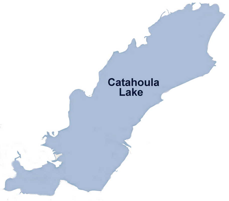
Catahoula Lake
Catahoula Lake covers about 30,000 acres of the Little River in Louisiana. The lake is in LaSalle County. Management is in the hands of USACE Vicksburg District.
Coordinates31.5125, -92.1072
Surface area30,000 acres
RiverLittle River
Managed byUSACE Vicksburg District
Swimming beaches on Catahoula Lake
No named swimming beach is mapped yet for this lake. Access is through agency day-use areas and boat ramps listed below. We add beach pages only when we can confirm a name, coordinates and an operating agency.
Catahoula Lake on the map
Lake center, swimming spots and access points.
Weather and water temperature
Air temperature and wind from Open-Meteo. Water temperature only when the lake has a public sensor.
Weather data by Open-Meteo
What to know before you go to Catahoula Lake
Catahoula Lake sits at 31.5125, -92.1072. The surface sits around 43 feet above sea level.
Public access at Catahoula Lake covers 1 public recreation area. Recreation areas nearby include Catahoula Lake Recreation Area. Assume no lifeguard is on duty and keep children within reach.
Water temperature is not measured at this lake by any public agency we read. Freshwater advisories are issued locally, so check the state health department before you swim. Most Louisiana day-use areas open for the summer season and close outside it.
Nearby water includes Cross Lake (Louisiana, 33 mi), Nantachie Lake (Louisiana, 40 mi) and False River (Louisiana, 72 mi). In all, 15 lakes in Louisiana are covered here.
No public gauge reports the water level at Catahoula Lake, so this page shows no level chart. We would rather leave the figure out than publish an estimate that nobody measured. For a lake this size, the park office is the fastest way to learn how the water sits today.
Recreation areas on Catahoula Lake
1 public recreation areas mapped around the lake by the U.S. Army Corps of Engineers. Facilities vary by area; check the managing office for opening dates and fees.
Catahoula Lake Recreation Area
Source: USACE Recreation Areas
Questions about Catahoula Lake
Is there a beach at Catahoula Lake?
No named swimming beach appears in the federal and state datasets this guide reads. Check the operating agency for day-use areas on the ground.
How big is Catahoula Lake?
About 30,000 acres.
What other lakes are near Catahoula Lake?
The closest in this guide is Cross Lake, about 33 miles away in Louisiana.
Lakes near Catahoula Lake
Other lakes in this guide, ordered by distance.
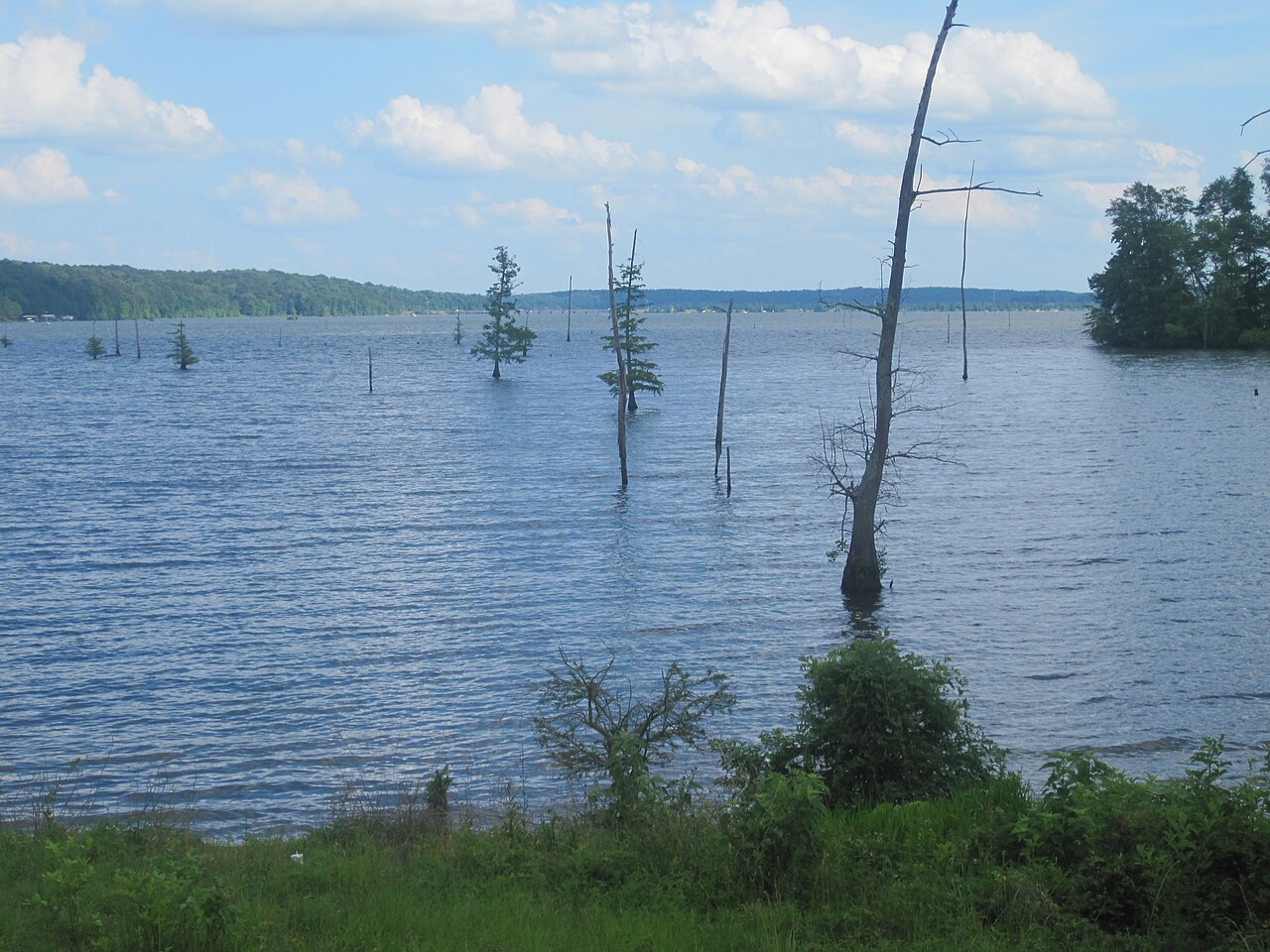
Lake D'Arbonne
Lake D'Arbonne is a reservoir of some 15,321 acres on the oceans =, in Louisiana. You will find it in Union Parish. It is managed…
Reservoir
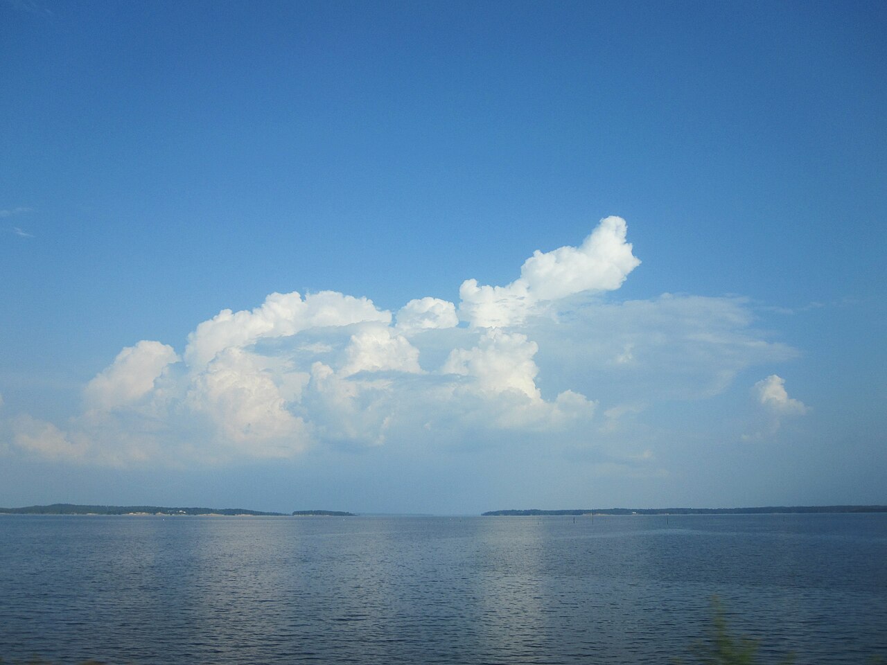
Toledo Bend Reservoir
Toledo Bend Reservoir dams the Sabine River along the Texas and Louisiana state line and covers about 185,000 acres, the largest…
Reservoir
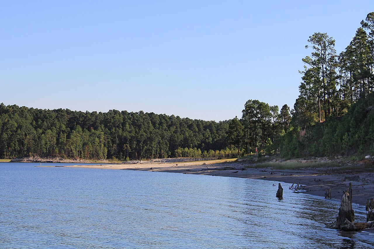
Sam Rayburn Reservoir
Sam Rayburn Reservoir spreads across Deep East Texas about 70 miles north of Beaumont, fed by the Angelina River. The Army Corps…
67% fullReservoir
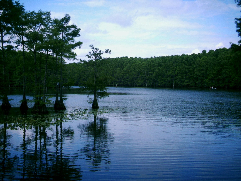
Caddo Lake
Caddo Lake is a 25,584-acre reservoir on the Twelvemile Bayou in Texas. It lies in Harrison County. Management is in the hands of…
78% fullReservoir
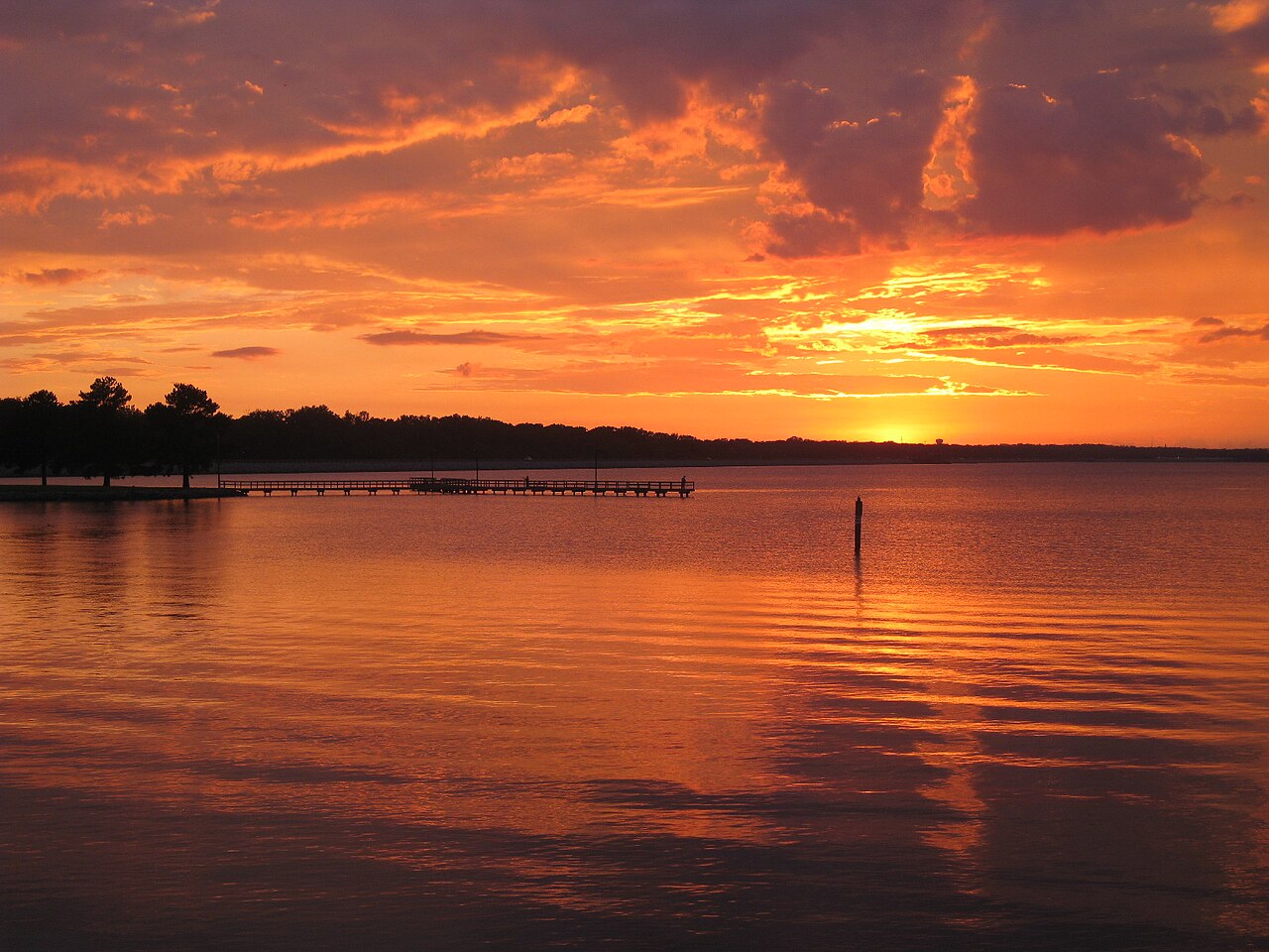
Ross Barnett Reservoir
Ross Barnett Reservoir is a reservoir of some 33,000 acres on the Pearl River, in Mississippi. You will find it in Rankin County.…
Reservoir
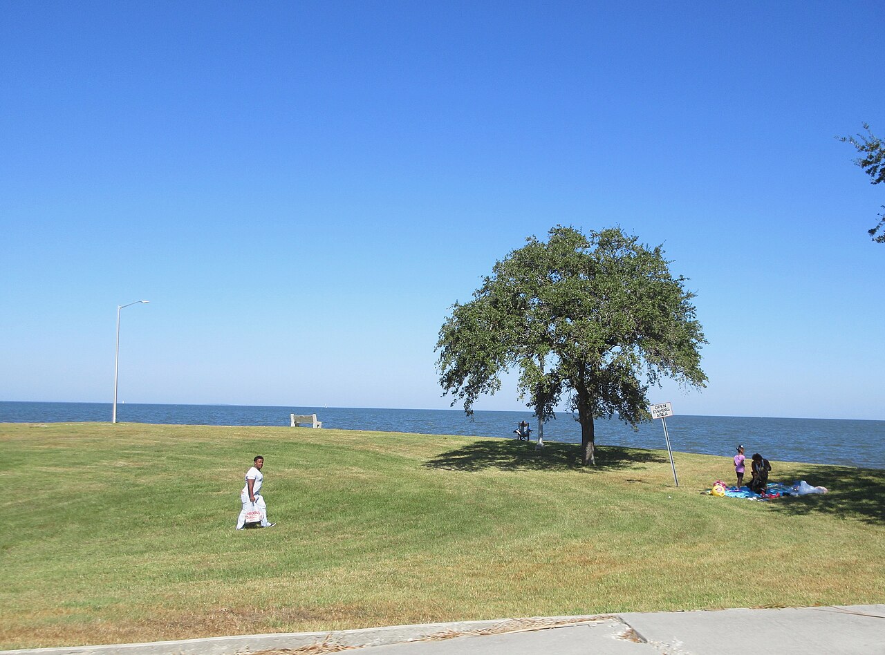
Lake Pontchartrain
Lake Pontchartrain covers about 454,427 acres of the outflow = in Louisiana. You will find it in St. Tammany County. Louisiana…
Natural lake1 beach
Explore around Louisiana
Sources
Every figure on this page comes from one of these public sources.