
CountiesNewton, Sabine and Shelby counties (TX); Sabine and DeSoto parishes (LA)
LouisianaReservoirNewton County
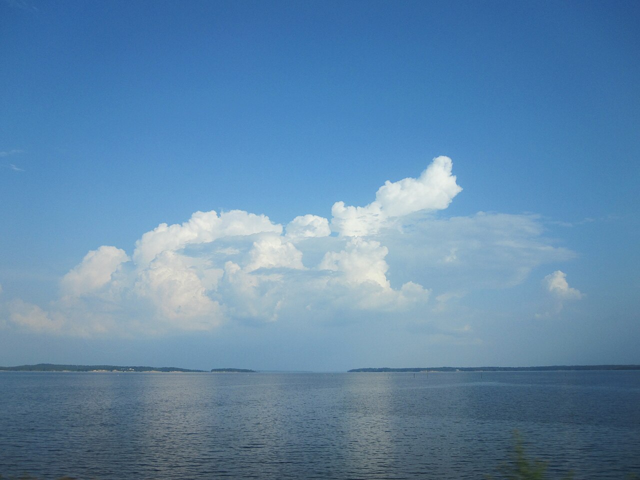
Toledo Bend Reservoir
Toledo Bend Reservoir dams the Sabine River along the Texas and Louisiana state line and covers about 185,000 acres, the largest man-made lake shared by the two states. The Sabine River Authority operates it jointly, and its dam generates up to 92 megawatts. Swimming is unsupervised and spread across public parks on both shores.
Water level today: 168.62 ft · see the full record
Nearest townMany, LA
Coordinates31.1965, -93.5721
Surface area185,000 acres
Max depth110 ft
RiverSabine River
Managed bySabine River Authority of Texas and Sabine River Authority of Louisiana
Swimming beaches on Toledo Bend Reservoir
No named swimming beach is mapped yet for this lake. Access is through agency day-use areas and boat ramps listed below. We add beach pages only when we can confirm a name, coordinates and an operating agency.
Toledo Bend Reservoir on the map
Lake center, swimming spots and access points.
Weather and water temperature
Air temperature and wind from Open-Meteo. Water temperature only when the lake has a public sensor.
Weather data by Open-Meteo
Water level today
Toledo Bend is a hydroelectric and water-supply reservoir, so the pool moves with generation and with rainfall in the Sabine basin. Conservation pool is 172.0 feet and the dead pool is 100 feet. Over the last 120 days the gauge near Negreet has moved between 168.62 and 170.61 feet, a narrow band that keeps concrete ramps in the water.
168.62 ft trend not available
Toledo Bend Reservoir: beaches, ramps and water level
The dam sits in the northeast corner of Newton County, Texas, but most of the water reaches north into Sabine and DeSoto parishes in Louisiana and Sabine and Shelby counties in Texas. By surface area it is the fifth largest reservoir in the United States and the largest in the South.
Conservation pool is 172.0 feet, and the Texas Water Development Board reported the lake at 87.9 percent of its 2,236,450 acre-feet of conservation capacity. At that level the reservoir covers 166,775 acres, which is close to its designed footprint and means most ramps and shoreline beaches are usable.
Public access is organized around park units and marinas run by the Sabine River Authority on both sides of the line, plus county and parish ramps. None of them posts lifeguards. The shoreline is long, wooded and shallow in the upper arms, so swimmers usually stay near the developed parks in the lower two thirds of the lake.
Water stays warm from late spring through September, and the lake is best known nationally for bass fishing. A U.S. Geological Survey gauge near Negreet, Louisiana reports the water surface elevation continuously, which is the figure this page tracks.
Questions about Toledo Bend Reservoir
Can you swim in Toledo Bend Reservoir?
Yes. Public parks on both the Texas and Louisiana shores have swimming areas, all of them unsupervised. Check the level before you go, since a low pool exposes stumps in the upper arms.
How big is Toledo Bend Reservoir?
About 185,000 acres at its designed size. At the current elevation the Texas Water Development Board measured 166,775 acres of surface water.
Lakes near Toledo Bend Reservoir
Other lakes in this guide, ordered by distance.
Sam Rayburn Reservoir
Sam Rayburn Reservoir spreads across Deep East Texas about 70 miles north of Beaumont, fed by the Angelina River. The Army Corps…
67% fullReservoir
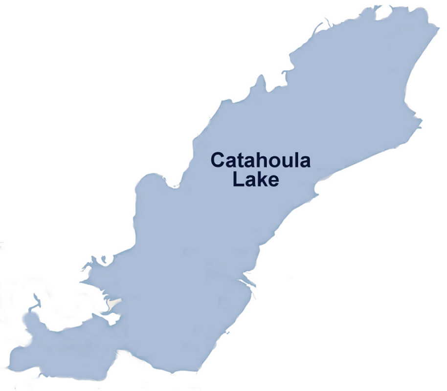
Catahoula Lake
Catahoula Lake covers about 30,000 acres of the Little River in Louisiana. The lake is in LaSalle County. Management is in the…
Natural lake
Lake Livingston
Fed by the Trinity River, Lake Livingston holds roughly 74,128 acres of water in Texas. The lake is in San Jacinto County.…
94% fullReservoir
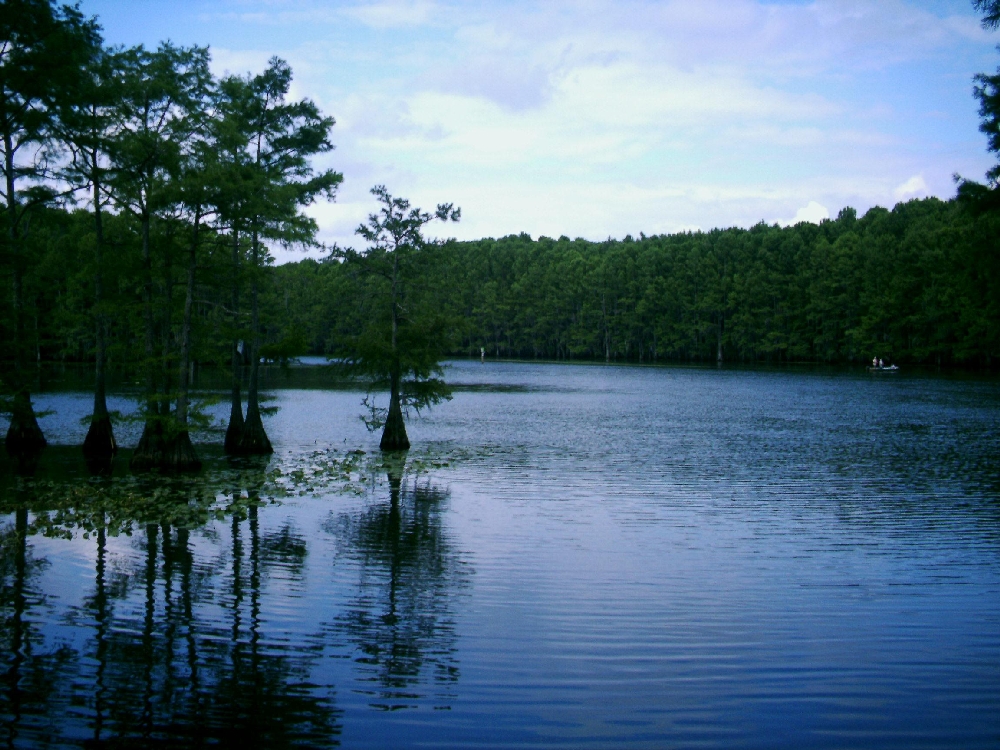
Caddo Lake
Caddo Lake is a 25,584-acre reservoir on the Twelvemile Bayou in Texas. It lies in Harrison County. Management is in the hands of…
78% fullReservoir
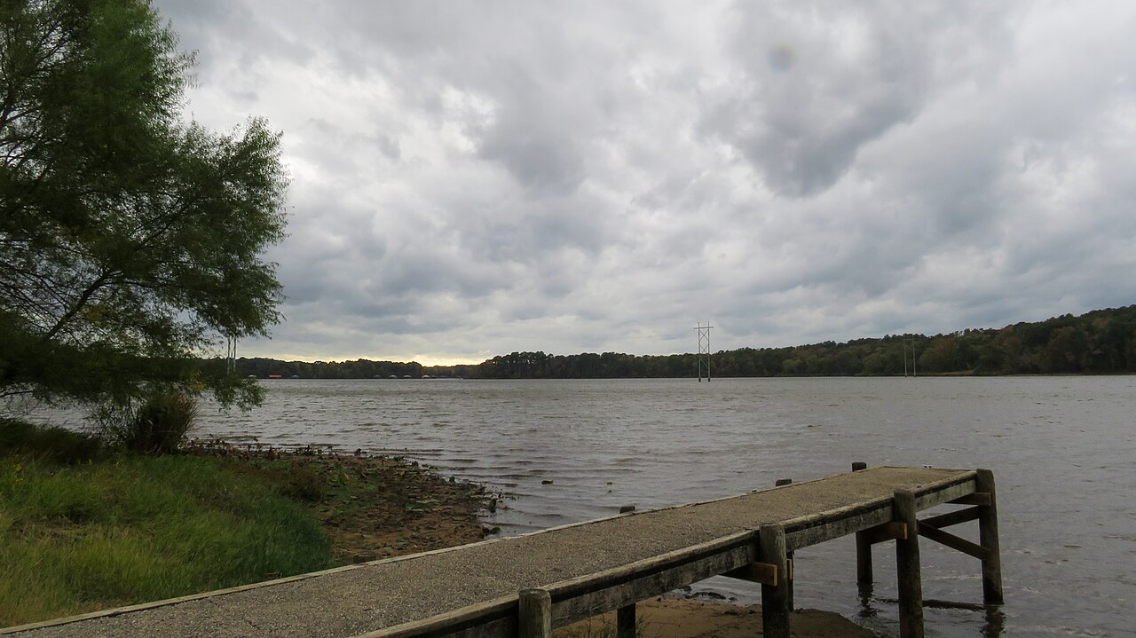
Lake Tyler
Lake Tyler is a reservoir of some 4,361 acres on the Prairie and Mud Creeks, in Texas. The lake is in Smith County. City of Tyler…
89% fullReservoir
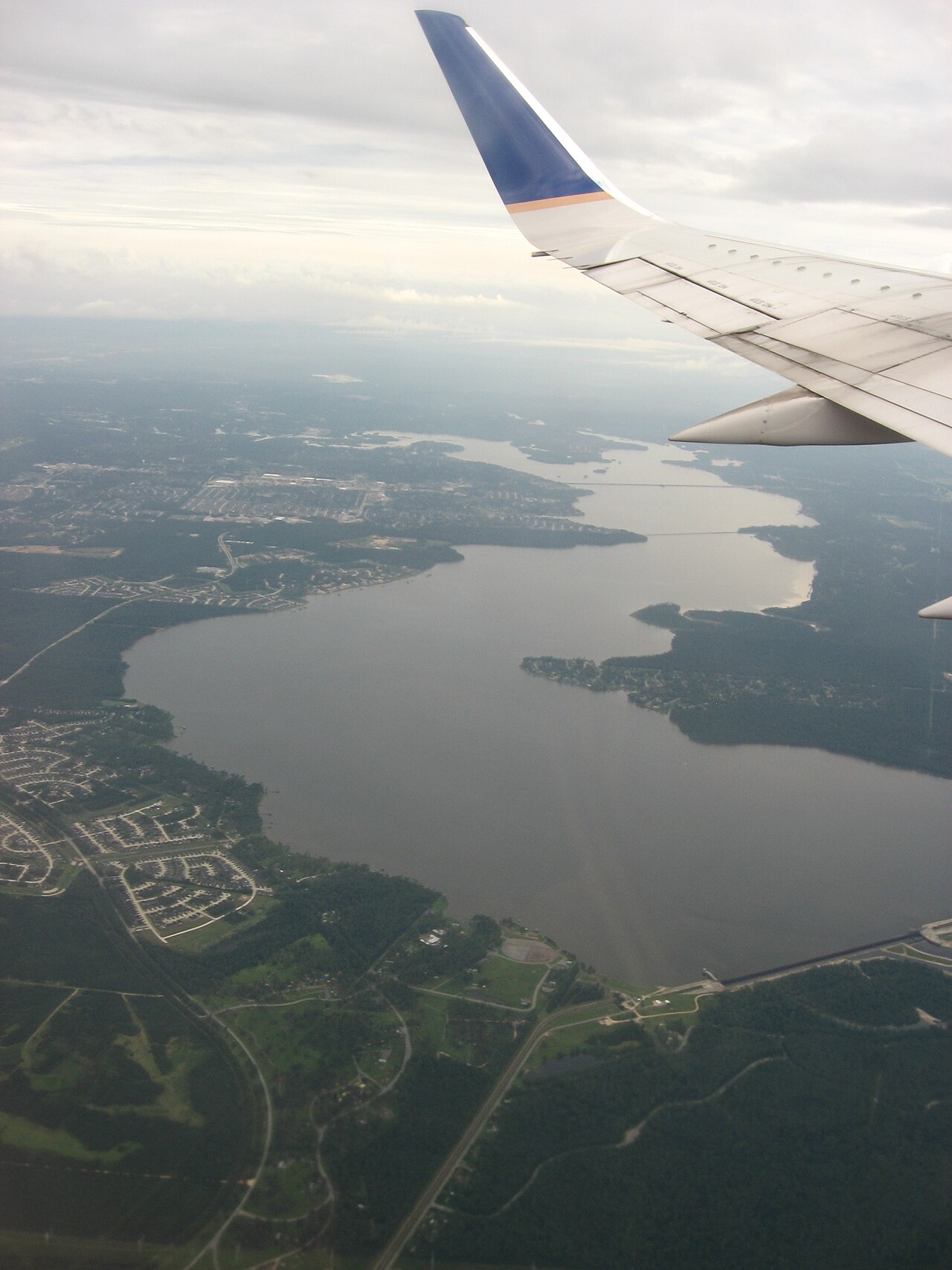
Lake Houston
Fed by the San Jacinto River, Lake Houston holds roughly 11,854 acres of water in Texas. You will find it in Harris County.…
100% fullReservoir
Explore around Louisiana
Sources
Every figure on this page comes from one of these public sources.