
CountiesJasper, Angelina, Nacogdoches, San Augustine and Sabine counties
TexasReservoirJasper County
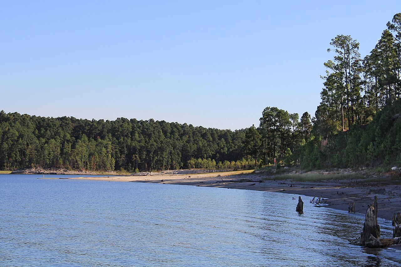
Sam Rayburn Reservoir
Sam Rayburn Reservoir spreads across Deep East Texas about 70 miles north of Beaumont, fed by the Angelina River. The Army Corps of Engineers Fort Worth District operates it, and the Texas Water Development Board reports 86,012 acres of surface water at the current level. Swimming happens at unsupervised day-use areas and sandy coves around the shoreline.
Water level today: 154.96 ft (67% full) · see the full record
Nearest townJasper, TX
Coordinates31.0611, -94.1061
Surface area86,012 acres
Max depth80 ft
Full pool164.4 ft
Capacity2,857,077 acre-ft
RiverAngelina River
Managed byU.S. Army Corps of Engineers, Fort Worth District
Swimming beaches on Sam Rayburn Reservoir
No named swimming beach is mapped yet for this lake. Access is through agency day-use areas and boat ramps listed below. We add beach pages only when we can confirm a name, coordinates and an operating agency.
Sam Rayburn Reservoir on the map
Lake center, swimming spots and access points.
Weather and water temperature
Air temperature and wind from Open-Meteo. Water temperature only when the lake has a public sensor.
Weather data by Open-Meteo
Water level today
Sam Rayburn is managed as a flood-control and water-supply reservoir, so the level rises quickly after East Texas storms and falls slowly through the dry season. The conservation pool is 164.4 feet; below roughly 151 feet the lake approaches its lowest recorded daily average since 2000, and shallow ramps begin to run out of concrete. The dead pool, the point below which water cannot be released by gravity, sits at 105 feet.
154.96 ft -0.17 ft in 7 days
Swimming at Sam Rayburn Reservoir
The reservoir sits on the Angelina River, the main tributary of the Neches, and drains toward the Big Thicket National Preserve downstream. Its conservation pool tops out at 164.4 feet, and the Texas Water Development Board tracks the level against a conservation capacity of 2,857,077 acre-feet.
Access is spread around a long shoreline rather than concentrated in one resort area. Corps of Engineers parks, county ramps and Texas Parks and Wildlife access points all reach the water, and the Six Mile public boat ramp on the west side is free and paved. There is no lifeguard at any of them, so treat every entry point as unsupervised swimming.
Level matters more here than at most Texas lakes. Since October 2000 the pool has ranged from 150.81 feet in November 2011 to 175.22 feet in June 2021, a swing of over 24 feet. Low water pulls the shoreline out over gently sloping sand and exposes stumps in the coves, which is worth checking before you swim or launch.
Fishing is the reason most visitors come, and the reservoir is one of the best known largemouth bass lakes in Texas. Summer water temperatures are warm enough for swimming from late May into September, and the U.S. Geological Survey gauge near Jasper reports the pool elevation every 15 minutes.
Recreation areas on Sam Rayburn Reservoir
4 public recreation areas mapped around the lake by the U.S. Army Corps of Engineers. Facilities vary by area; check the managing office for opening dates and fees.
Ebenezer Twin Dikes Rayburn Powell
Source: USACE Recreation Areas
Boat ramps and access points
Public launch points recorded around the lake. Low water can close shallow ramps, so check the level before hauling a trailer.
| Name | Operated by | Distance | Source |
|---|---|---|---|
| Westwood Ramp | Local Government Agency | 3.7 mi | source |
| Lower Neches Valley Ramp | USACE | 4.2 mi | source |
Ramp data: USACE Recreation Areas
Questions about Sam Rayburn Reservoir
Can you swim in Sam Rayburn Reservoir?
Yes. Swimming is allowed and common at day-use areas and coves around the lake, but none of them is staffed by a lifeguard. Watch for submerged stumps in shallow coves, especially when the pool is low.
How big is Sam Rayburn Reservoir?
The Texas Water Development Board measured 86,012 acres of surface area at the current elevation. The lake covers more when it is at conservation pool.
Lakes near Sam Rayburn Reservoir
Other lakes in this guide, ordered by distance.
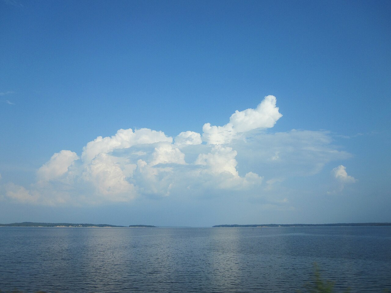
Toledo Bend Reservoir
Toledo Bend Reservoir dams the Sabine River along the Texas and Louisiana state line and covers about 185,000 acres, the largest…
Reservoir
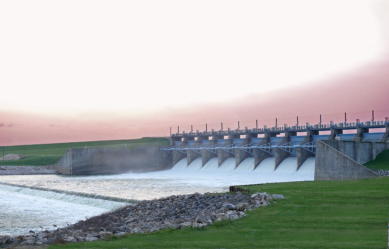
Lake Livingston
Fed by the Trinity River, Lake Livingston holds roughly 74,128 acres of water in Texas. The lake is in San Jacinto County.…
94% fullReservoir
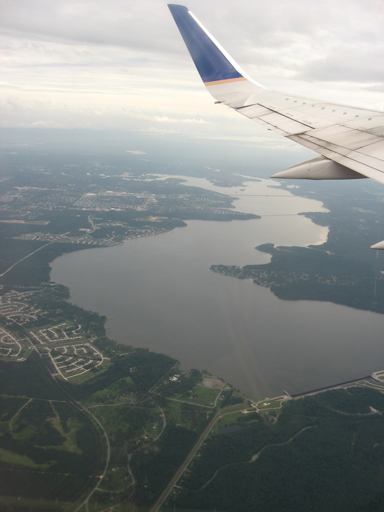
Lake Houston
Fed by the San Jacinto River, Lake Houston holds roughly 11,854 acres of water in Texas. You will find it in Harris County.…
100% fullReservoir
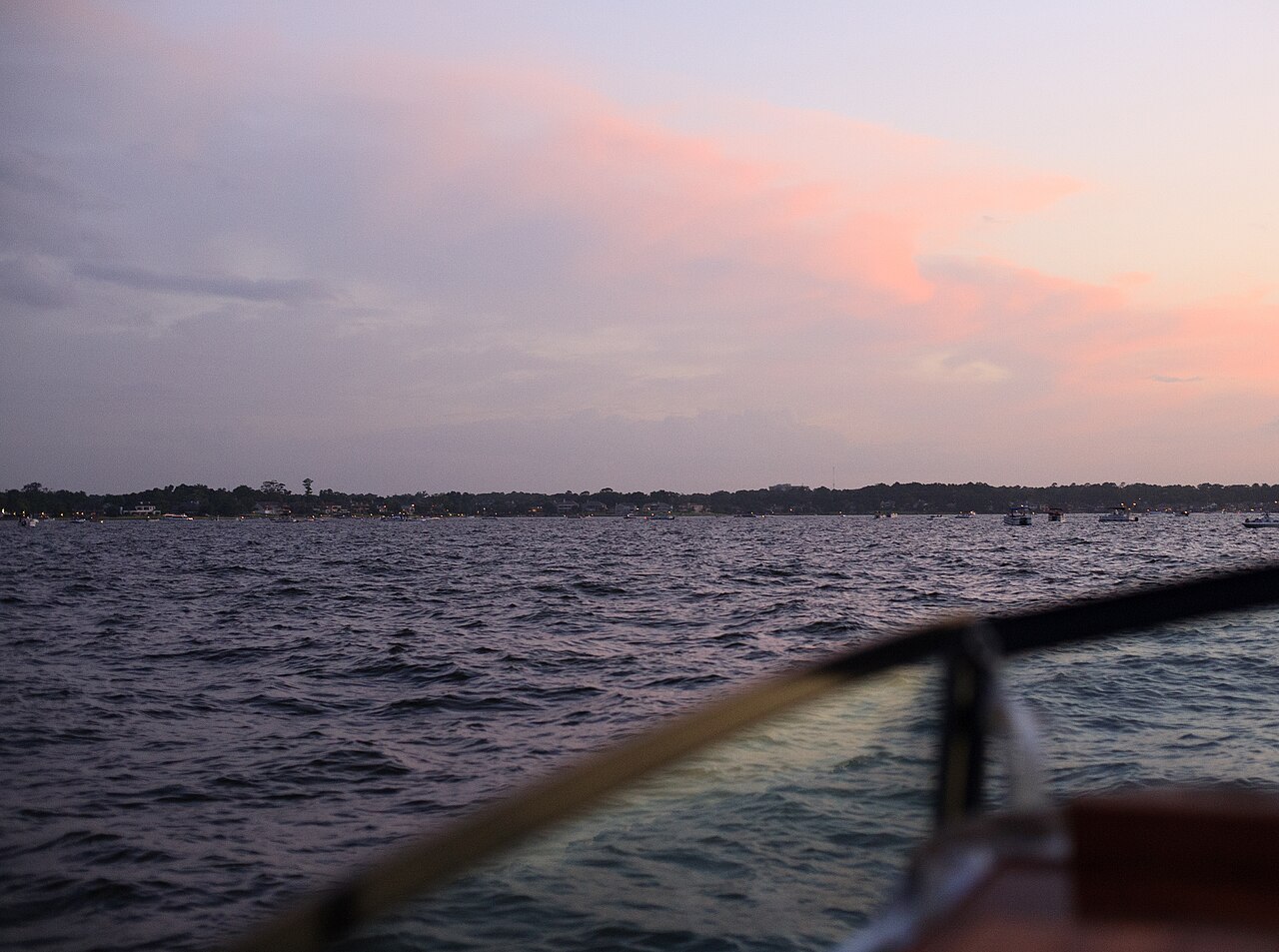
Lake Conroe
Lake Conroe is a 19,337-acre reservoir on the outflow = in Texas. It lies in Montgomery County. Management is in the hands of San…
95% fullReservoir2 beaches
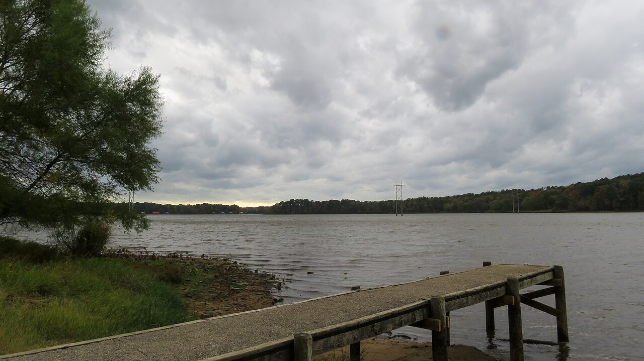
Lake Tyler
Lake Tyler is a reservoir of some 4,361 acres on the Prairie and Mud Creeks, in Texas. The lake is in Smith County. City of Tyler…
89% fullReservoir
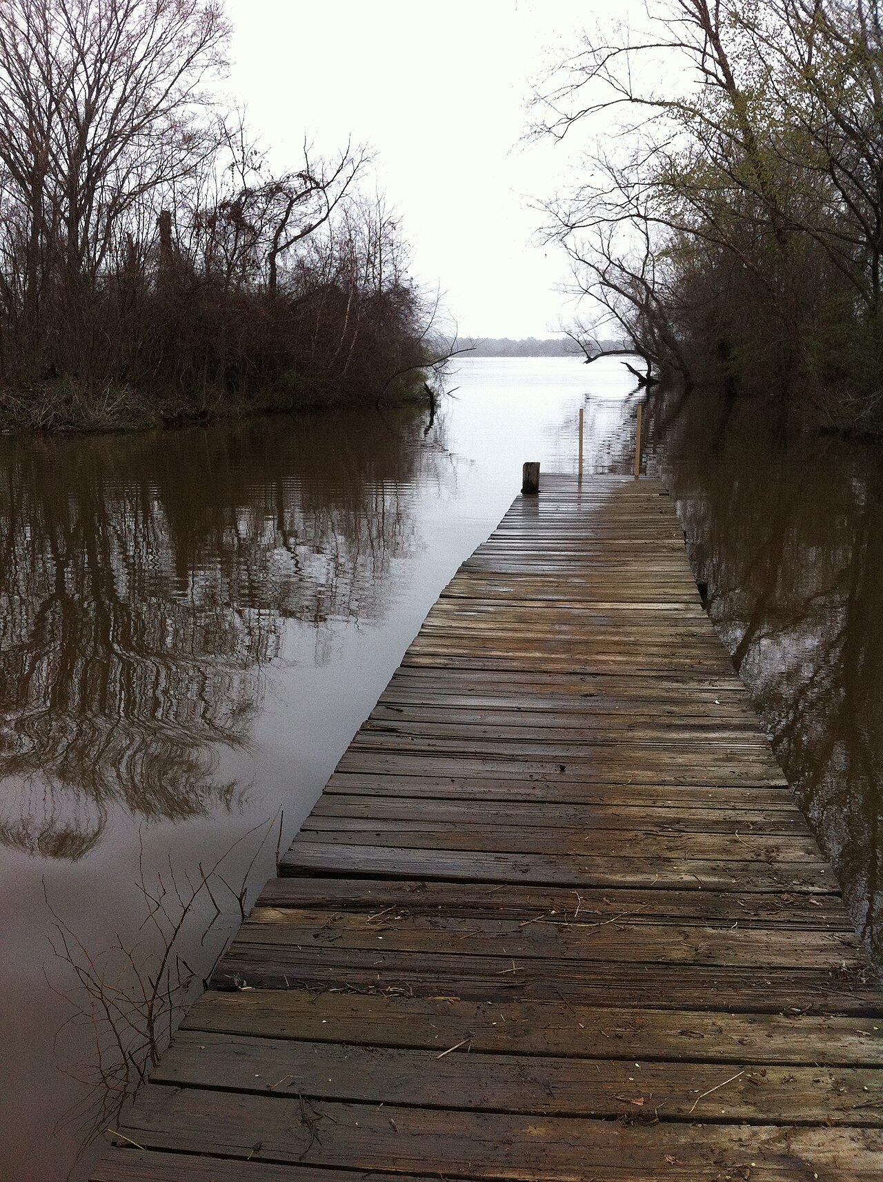
Lake Palestine
Fed by the location = Texas, United States, Lake Palestine holds roughly 21,905 acres of water in Texas. You will find it in…
92% fullReservoir
Explore around Texas
Sources
Every figure on this page comes from one of these public sources.