
CountiesKane County
ArizonaReservoirKane County
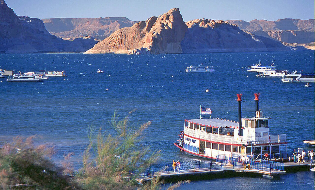
Lake Powell
Lake Powell is a 162,595-acre reservoir on the Colorado River in Arizona. Its shoreline falls inside Kane County. Management is in the hands of National Park Service (Glen Canyon NRA). The gauge last read 3,517.20 ft.
Water level today: 3,517.20 ft · see the full record
Coordinates36.9361, -111.4842
Surface area162,595 acres
Max depth492 ft
RiverColorado River
Completed1963
Managed byNational Park Service (Glen Canyon NRA)
Swimming beaches on Lake Powell
2 named swimming spots and shoreline access points, from USGS GNIS, Recreation.gov and the Forest Service. None is staffed by a lifeguard unless the operating agency posts one.
Lake Powell on the map
Lake center, swimming spots and access points.
Weather and water temperature
Air temperature and wind from Open-Meteo. Water temperature only when the lake has a public sensor.
Weather data by Open-Meteo
Water level today
Readings come from station 09379900 (LAKE POWELL AT GLEN CANYON DAM, AZ). The last value stored here, 3,517.20 ft, is from 2026-09-09. Over the record shown on the level page the gauge has moved between 3,517.30 ft and 3,554.00 ft (low on 2026-09-08, high on 2025-08-05). A falling pool widens the beaches and shortens the ramps, so it is worth checking before you drive out.
3,517.20 ft -0.40 ft in 7 days
Swimming at Lake Powell
The center of the lake is at 36.9361, -111.4842. Surface elevation is about 3,704 feet. The Colorado River carries the outflow. Impoundment dates back to 1963. It reaches roughly 492 feet at its deepest.
Readings come from station 09379900 (LAKE POWELL AT GLEN CANYON DAM, AZ). The last value stored here, 3,517.20 ft, is from 2026-09-09. Over the record shown on the level page the gauge has moved between 3,517.30 ft and 3,554.00 ft (low on 2026-09-08, high on 2025-08-05). A falling pool widens the beaches and shortens the ramps, so it is worth checking before you drive out.
The closest lakes in this guide are Panguitch Lake (Utah, 83 mi), Sand Hollow Reservoir (Utah, 105 mi) and Fish Lake (Utah, 112 mi). Arizona has 14 lakes on this site in total.
Around Lake Powell this guide maps 2 named swimming spots. These come from Recreation.gov (RIDB) and USGS GNIS. Among them are Glen Canyon National Recreation Area and Lone Rock Beach. Parking is the usual limit on busy summer weekends.
There is no water temperature sensor here, so only air conditions are shown. Season dates vary by park; the operating agency publishes them each spring. Water quality is monitored unevenly on inland lakes, so posted notices are the most reliable guide.
Questions about Lake Powell
Can you swim in Lake Powell?
Yes. This guide maps 2 named swimming spots around the lake, including Glen Canyon National Recreation Area and Lone Rock Beach. None is staffed by a lifeguard unless the operating agency posts one.
How big is Lake Powell?
About 162,595 acres. Maximum depth is around 492 feet.
What other lakes are near Lake Powell?
The closest in this guide is Panguitch Lake, about 83 miles away in Utah.
Lakes near Lake Powell
Other lakes in this guide, ordered by distance.
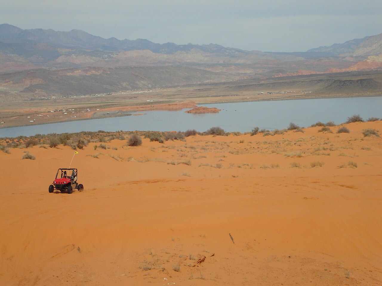
Sand Hollow Reservoir
Sand Hollow Reservoir is a 1,322-acre reservoir on the catchment = in Utah. Its shoreline falls inside Washington County. Utah…
Reservoir1 beach
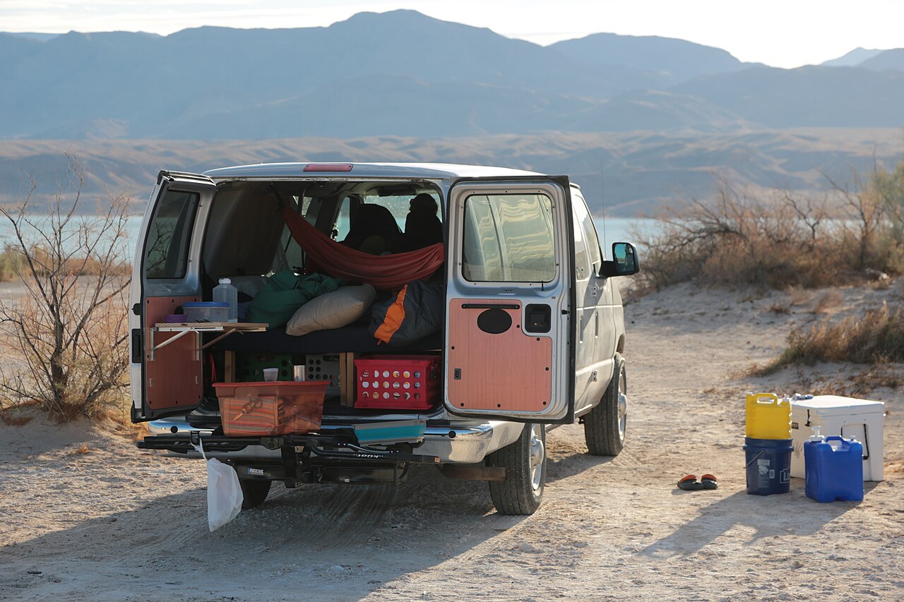
Lake Mead
Lake Mead is a 158,147-acre reservoir on the Colorado River in Nevada. Its shoreline falls inside Clark County. Management is in…
Reservoir5 beaches
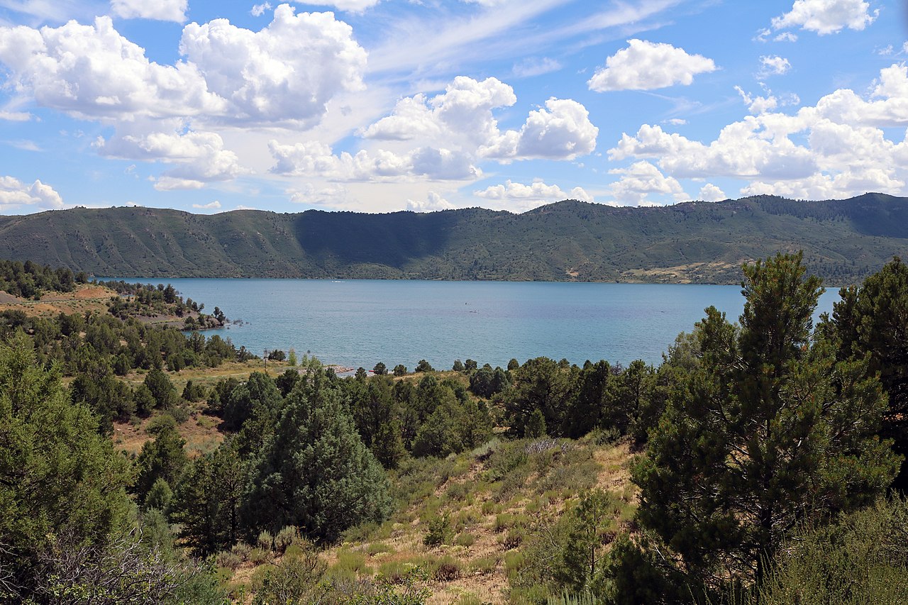
Lake Nighthorse
Lake Nighthorse is a reservoir of some 1,490 acres on the Basin Creek (Outflow returns to the Animas River), in Colorado. City of…
Reservoir
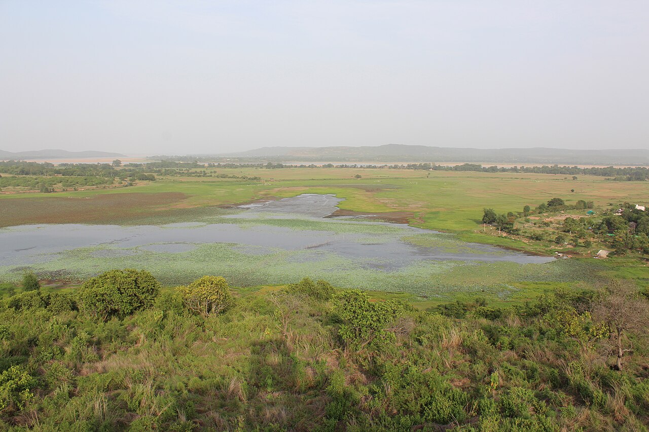
Horseshoe Lake
Horseshoe Lake covers about 790 acres of the Verde River in Arizona. It lies in Yavapai County. It is managed by USDA Forest…
Reservoir
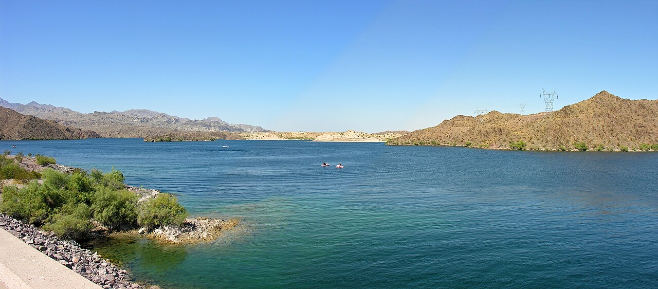
Lake Mohave
Lake Mohave is a reservoir of some 26,440 acres on the Colorado River, in Nevada. The lake is in Mohave County. It is managed by…
Reservoir
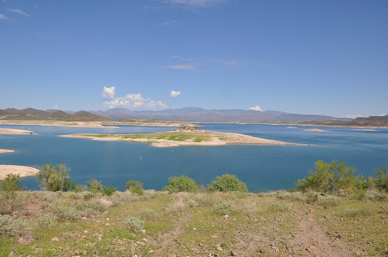
Lake Pleasant
At roughly 9,970 acres, Lake Pleasant is one of the lakes covered in Arizona. Its shoreline falls inside Yavapai County. Bureau…
Reservoir
Explore around Arizona
Sources
Every figure on this page comes from one of these public sources.