
CountiesClark County
NevadaReservoirClark County
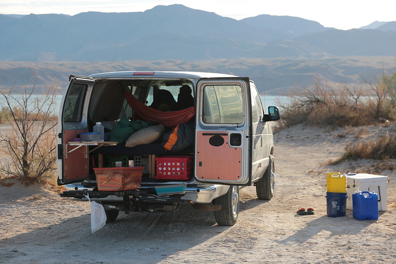
Lake Mead
Lake Mead is a 158,147-acre reservoir on the Colorado River in Nevada. Its shoreline falls inside Clark County. Management is in the hands of National Park Service. This guide maps 5 named swimming spots around its shoreline.
Coordinates36.2500, -114.3900
Surface area158,147 acres
Max depth532 ft
RiverColorado River
Completed1964
Managed byNational Park Service
Swimming beaches on Lake Mead
5 named swimming spots and shoreline access points, from USGS GNIS, Recreation.gov and the Forest Service. None is staffed by a lifeguard unless the operating agency posts one.
Lake Mead on the map
Lake center, swimming spots and access points.
Weather and water temperature
Air temperature and wind from Open-Meteo. Water temperature only when the lake has a public sensor.
Weather data by Open-Meteo
Is Lake Mead good for swimming?
On the map, Lake Mead is centered near 36.2500, -114.3900. It lies at roughly 1,220 feet of elevation. The Colorado River carries the outflow. The reservoir dates from 1964. The deepest point on record is about 532 feet.
Check the operating agency for advisories before any water contact, especially for blue-green algae in late summer. Most Nevada day-use areas open for the summer season and close outside it. No public sensor reports water temperature at Lake Mead, so the panel shows air temperature and wind.
Water level is missing from this page on purpose: no public feed covers Lake Mead. Where an agency publishes a figure, we show it with the time it was taken; here there is none.
Public access at Lake Mead covers 5 named swimming spots. They include Belsmeir Beach, Engine Beach and Ann Marguret Beach. These come from Recreation.gov (RIDB) and USGS GNIS. Unless the operating agency says otherwise, treat these as unsupervised swimming.
The closest lakes in this guide are Lake Mohave (Nevada, 58 mi), Sand Hollow Reservoir (Utah, 82 mi) and Lake Havasu (Arizona, 122 mi). In all, 11 lakes in Nevada are covered here.
Questions about Lake Mead
Can you swim in Lake Mead?
Yes. This guide maps 5 named swimming spots around the lake, including Belsmeir Beach and Engine Beach. None is staffed by a lifeguard unless the operating agency posts one.
How big is Lake Mead?
About 158,147 acres. Maximum depth is around 532 feet.
What other lakes are near Lake Mead?
The closest in this guide is Lake Mohave, about 58 miles away in Nevada.
Lakes near Lake Mead
Other lakes in this guide, ordered by distance.
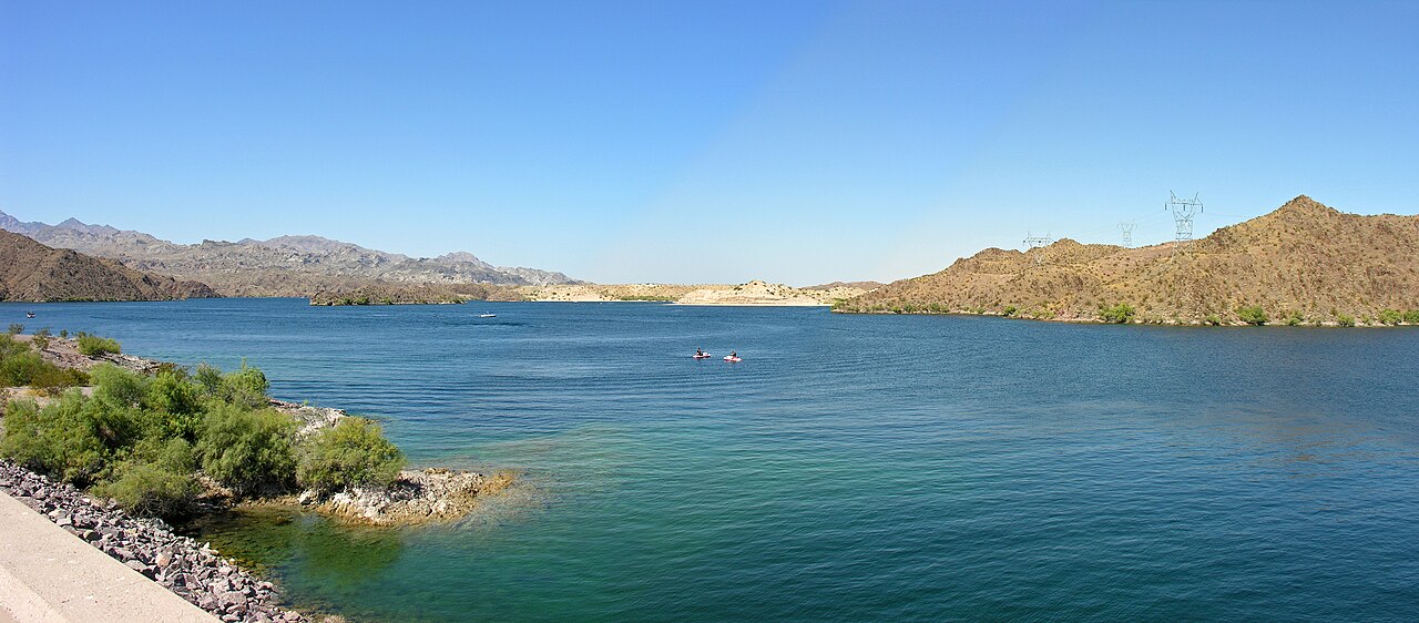
Lake Mohave
Lake Mohave is a reservoir of some 26,440 acres on the Colorado River, in Nevada. The lake is in Mohave County. It is managed by…
Reservoir
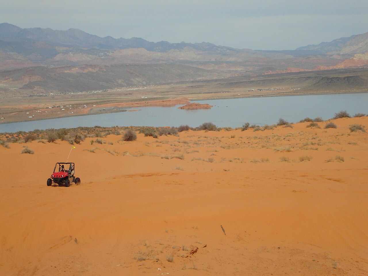
Sand Hollow Reservoir
Sand Hollow Reservoir is a 1,322-acre reservoir on the catchment = in Utah. Its shoreline falls inside Washington County. Utah…
Reservoir1 beach
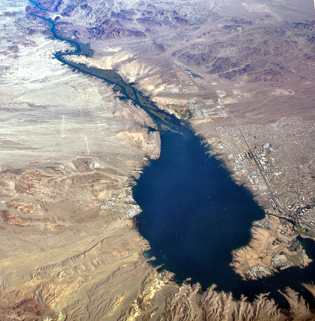
Lake Havasu
Lake Havasu is a reservoir of some 19,299 acres on the Colorado River, in Arizona. The lake is in Mohave County. USBR Lower…
Reservoir1 beach
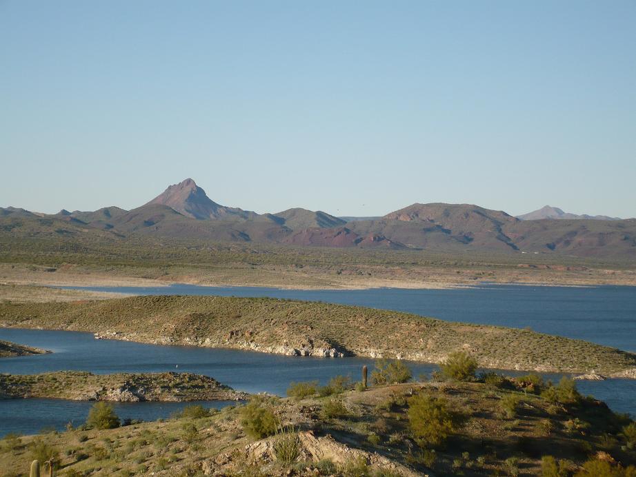
Alamo Lake
At roughly 3,665 acres, Alamo Lake is one of the lakes covered in Arizona. It lies in La Paz County. Arizona State Parks & Trails…
Reservoir
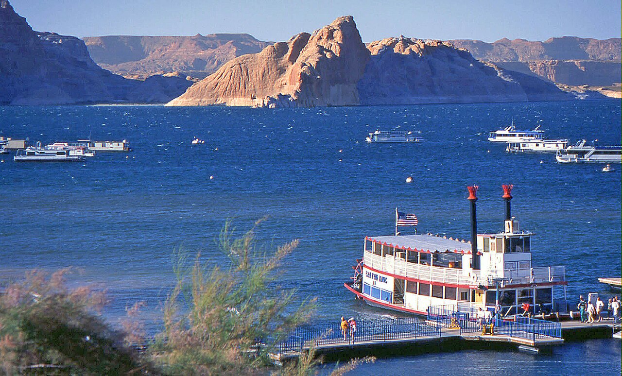
Lake Powell
Lake Powell is a 162,595-acre reservoir on the Colorado River in Arizona. Its shoreline falls inside Kane County. Management is…
Reservoir2 beaches
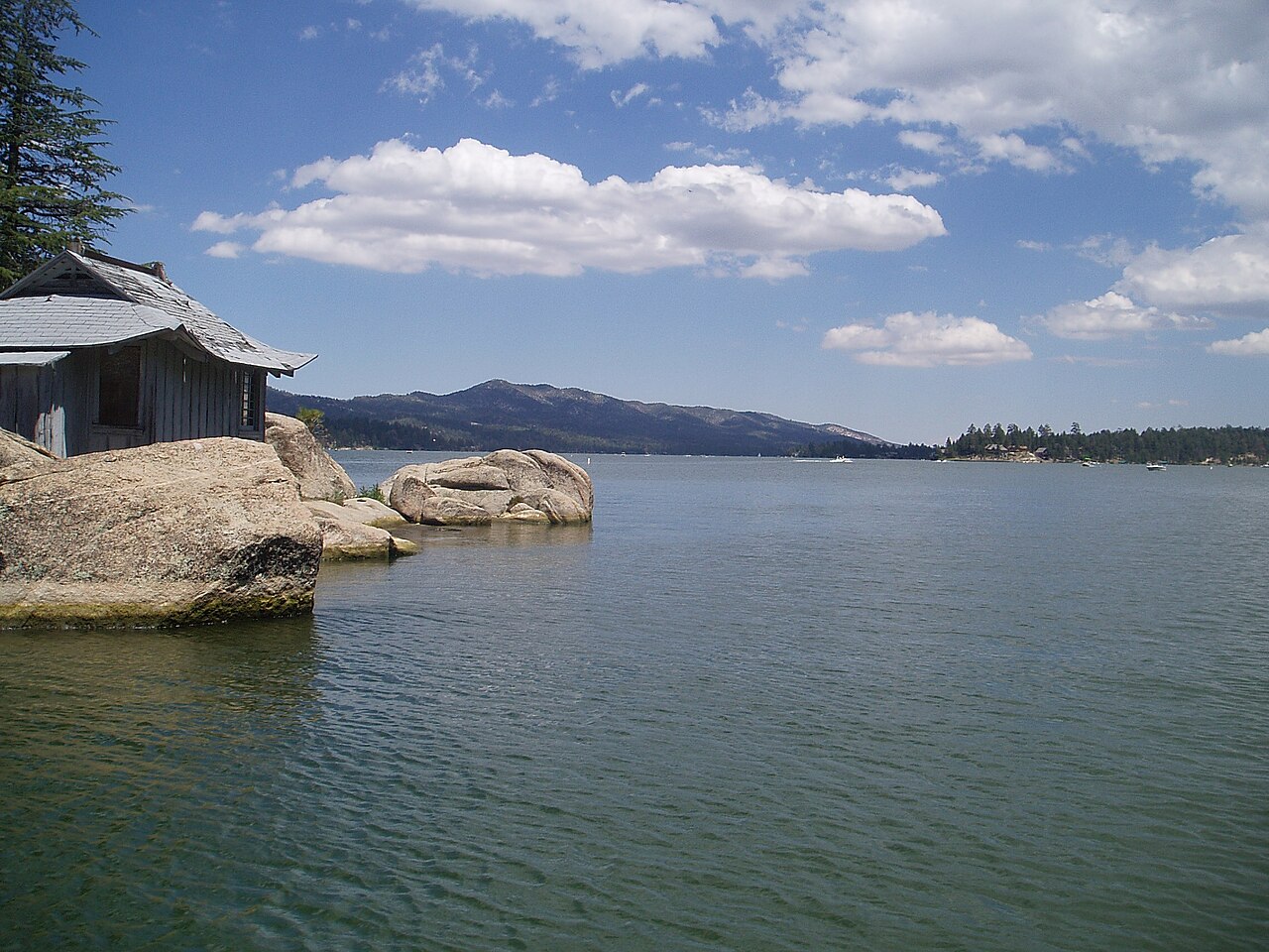
Big Bear Lake
Big Bear Lake is a reservoir of some 2,971 acres on the outflow =, in California. It lies in San Bernardino County. BBMWD manages…
Reservoir1 beach
Explore around Nevada
Swimming spots in Nevada Lakes near North Las Vegas Lakes near Mesquite
Sources
Every figure on this page comes from one of these public sources.