
CountiesMohave County
NevadaReservoirMohave County
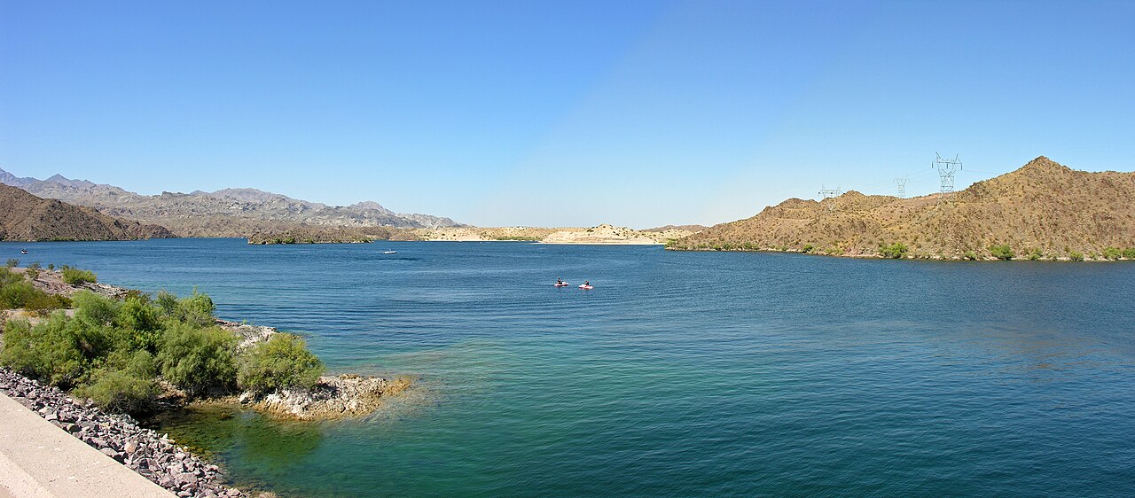
Lake Mohave
Lake Mohave is a reservoir of some 26,440 acres on the Colorado River, in Nevada. The lake is in Mohave County. It is managed by National Park Service (Lake Mead NRA) / USBR / Nevada Division of Wildlife / AZ Game & Fish. The gauge last read 40.06 ft.
Coordinates35.4372, -114.6436
Surface area26,440 acres
Max depth76 ft
RiverColorado River
Managed byNational Park Service (Lake Mead NRA) / USBR / Nevada Division of Wildlife / AZ Game & Fish
Swimming beaches on Lake Mohave
No named swimming beach is mapped yet for this lake. Access is through agency day-use areas and boat ramps listed below. We add beach pages only when we can confirm a name, coordinates and an operating agency.
Lake Mohave on the map
Lake center, swimming spots and access points.
Weather and water temperature
Air temperature and wind from Open-Meteo. Water temperature only when the lake has a public sensor.
Weather data by Open-Meteo
Lake Mohave at a glance
On the map, Lake Mohave is centered near 35.4372, -114.6436. Surface elevation is about 646 feet. The deepest point on record is about 76 feet. Outflow feeds the Colorado River.
The closest lakes in this guide are Lake Mead (Nevada, 58 mi), Lake Havasu (Arizona, 68 mi) and Alamo Lake (Arizona, 102 mi). In all, 11 lakes in Nevada are covered here.
If you need a named beach, Lake Mead National Recreation Area on Lake Mead is some 40 miles from here. Shoreline access on lakes like this one is often informal and unsigned. The federal and state datasets behind this guide list no named beach at Lake Mohave. That does not mean there is no access, only that none is catalogued.
The level comes from gauge 09422500, LAKE MOHAVE AT DAVIS DAM, AZ-NV, and carries the time it was taken. The last value stored here, 40.06 ft, is from 2026-09-09. A low pool exposes stumps and mud in the shallow arms of the lake.
Swimming season in Nevada runs through the warm months, and day-use areas set their own opening dates. No public sensor reports water temperature at Lake Mohave, so the panel shows air temperature and wind. Water quality is monitored unevenly on inland lakes, so posted notices are the most reliable guide.
Questions about Lake Mohave
What is the current water level at Lake Mohave?
The latest reading is 40.06 ft, from USGS gauge 09422500.
Is there a beach at Lake Mohave?
No named swimming beach appears in the federal and state datasets this guide reads. Check the operating agency for day-use areas on the ground.
How big is Lake Mohave?
About 26,440 acres. Maximum depth is around 76 feet.
What other lakes are near Lake Mohave?
The closest in this guide is Lake Mead, about 58 miles away in Nevada.
Lakes near Lake Mohave
Other lakes in this guide, ordered by distance.
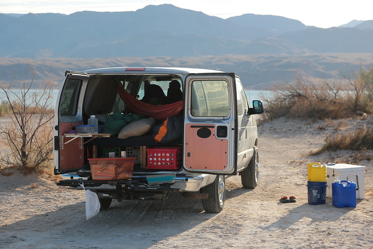
Lake Mead
Lake Mead is a 158,147-acre reservoir on the Colorado River in Nevada. Its shoreline falls inside Clark County. Management is in…
Reservoir5 beaches
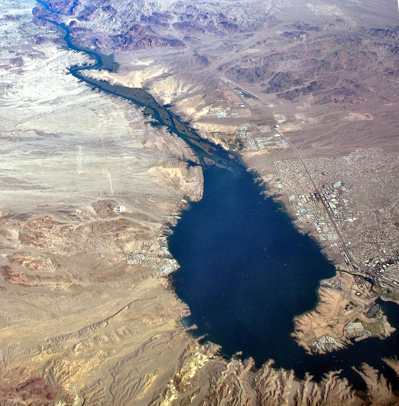
Lake Havasu
Lake Havasu is a reservoir of some 19,299 acres on the Colorado River, in Arizona. The lake is in Mohave County. USBR Lower…
Reservoir1 beach
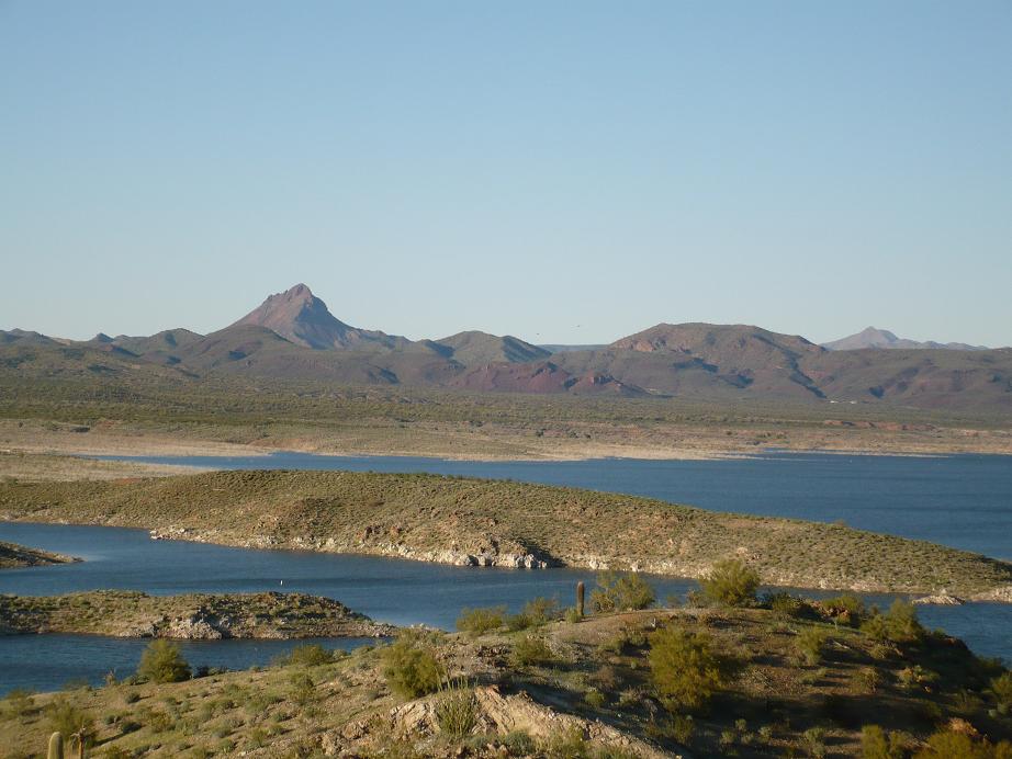
Alamo Lake
At roughly 3,665 acres, Alamo Lake is one of the lakes covered in Arizona. It lies in La Paz County. Arizona State Parks & Trails…
Reservoir
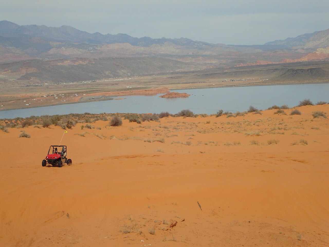
Sand Hollow Reservoir
Sand Hollow Reservoir is a 1,322-acre reservoir on the catchment = in Utah. Its shoreline falls inside Washington County. Utah…
Reservoir1 beach
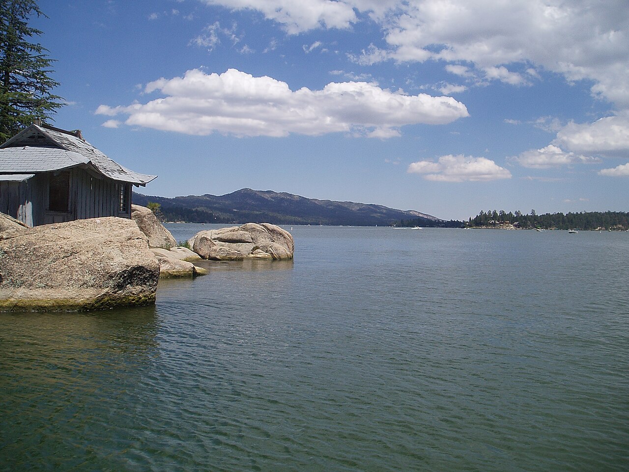
Big Bear Lake
Big Bear Lake is a reservoir of some 2,971 acres on the outflow =, in California. It lies in San Bernardino County. BBMWD manages…
Reservoir1 beach
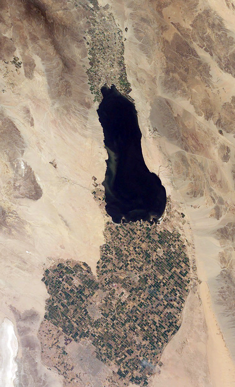
Salton Sea
Salton Sea covers about 219,430 acres of the evaporation in California. It lies in Imperial County. Management is in the hands of…
Natural lake6 beaches
Explore around Nevada
Sources
Every figure on this page comes from one of these public sources.