
CountiesYavapai County
ArizonaReservoirYavapai County
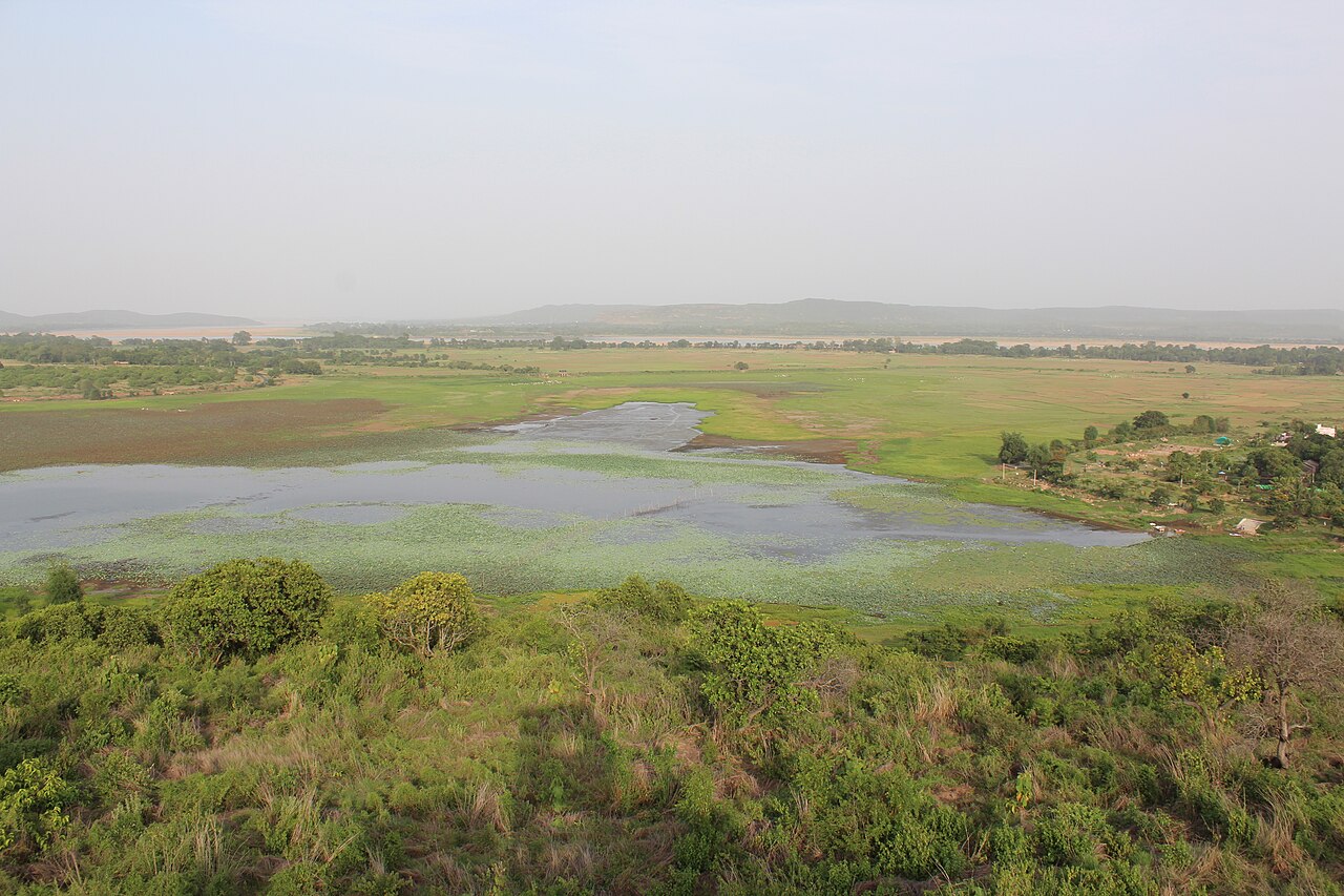
Horseshoe Lake
Horseshoe Lake covers about 790 acres of the Verde River in Arizona. It lies in Yavapai County. It is managed by USDA Forest Service / SRP. The gauge last read 84.86 ft.
Coordinates33.9858, -111.7212
Surface area790 acres
Max depth77 ft
RiverVerde River
Managed byUSDA Forest Service / SRP
Swimming beaches on Horseshoe Lake
No named swimming beach is mapped yet for this lake. Access is through agency day-use areas and boat ramps listed below. We add beach pages only when we can confirm a name, coordinates and an operating agency.
Horseshoe Lake on the map
Lake center, swimming spots and access points.
Weather and water temperature
Air temperature and wind from Open-Meteo. Water temperature only when the lake has a public sensor.
Weather data by Open-Meteo
Horseshoe Lake explained
On the map, Horseshoe Lake is centered near 33.9858, -111.7212. The deepest point on record is about 77 feet. Outflow feeds the Verde River. It lies at roughly 2,200 feet of elevation.
County parks and private resorts sometimes provide access that federal datasets never record. C.C. Cragin (Blue Ridge) Reservoir, on C.C. Cragin Reservoir, is the closest named beach in this guide, about 49 miles off. No named swimming beach is mapped at Horseshoe Lake in the federal and state datasets this guide reads. Access is through whatever the operating agency provides on the ground, so check with them first.
Swimming season in Arizona runs through the warm months, and day-use areas set their own opening dates. There is no water temperature sensor here, so only air conditions are shown. Check the operating agency for advisories before any water contact, especially for blue-green algae in late summer.
The closest lakes in this guide are Bartlett Lake (Arizona, 13 mi), Saguaro Lake (Arizona, 31 mi) and Lake Pleasant (Arizona, 33 mi). Arizona has 14 lakes on this site in total.
The level comes from gauge 09509501, HORSESHOE RESERVOIR AT HORSESHOE DAM, AZ, and carries the time it was taken. The last value stored here, 84.86 ft, is from 2026-09-09. When the pool drops, shoreline beaches grow and shallow ramps can run out of concrete.
Questions about Horseshoe Lake
What is the current water level at Horseshoe Lake?
The latest reading is 84.86 ft, from USGS gauge 09509501.
Is there a beach at Horseshoe Lake?
No named swimming beach appears in the federal and state datasets this guide reads. Check the operating agency for day-use areas on the ground.
How big is Horseshoe Lake?
About 790 acres. Maximum depth is around 77 feet.
What other lakes are near Horseshoe Lake?
The closest in this guide is Bartlett Lake, about 13 miles away in Arizona.
Lakes near Horseshoe Lake
Other lakes in this guide, ordered by distance.
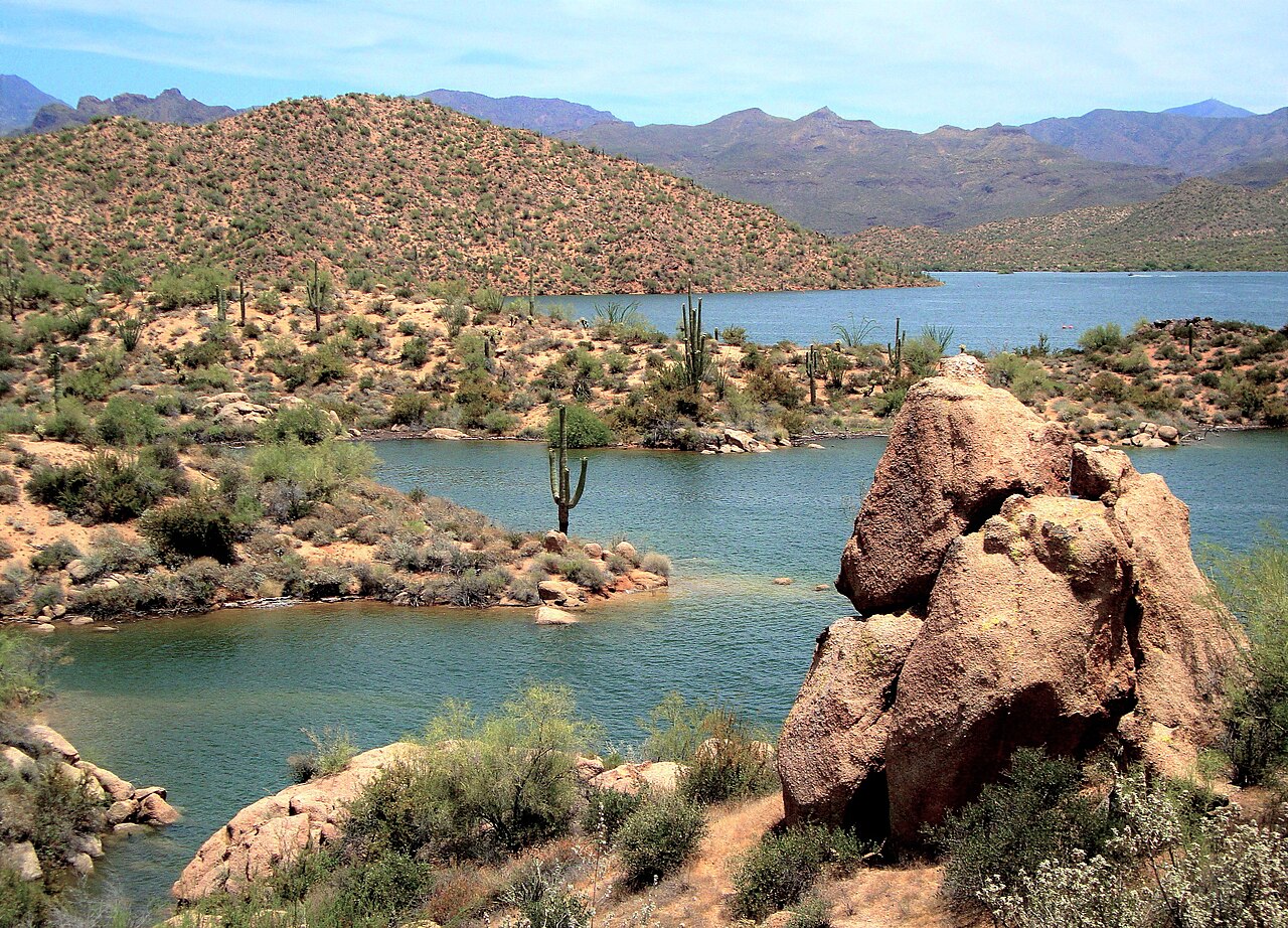
Bartlett Lake
Bartlett Lake covers about 2,815 acres of the Verde River in Arizona. It lies in Maricopa County. Management is in the hands of…
Reservoir
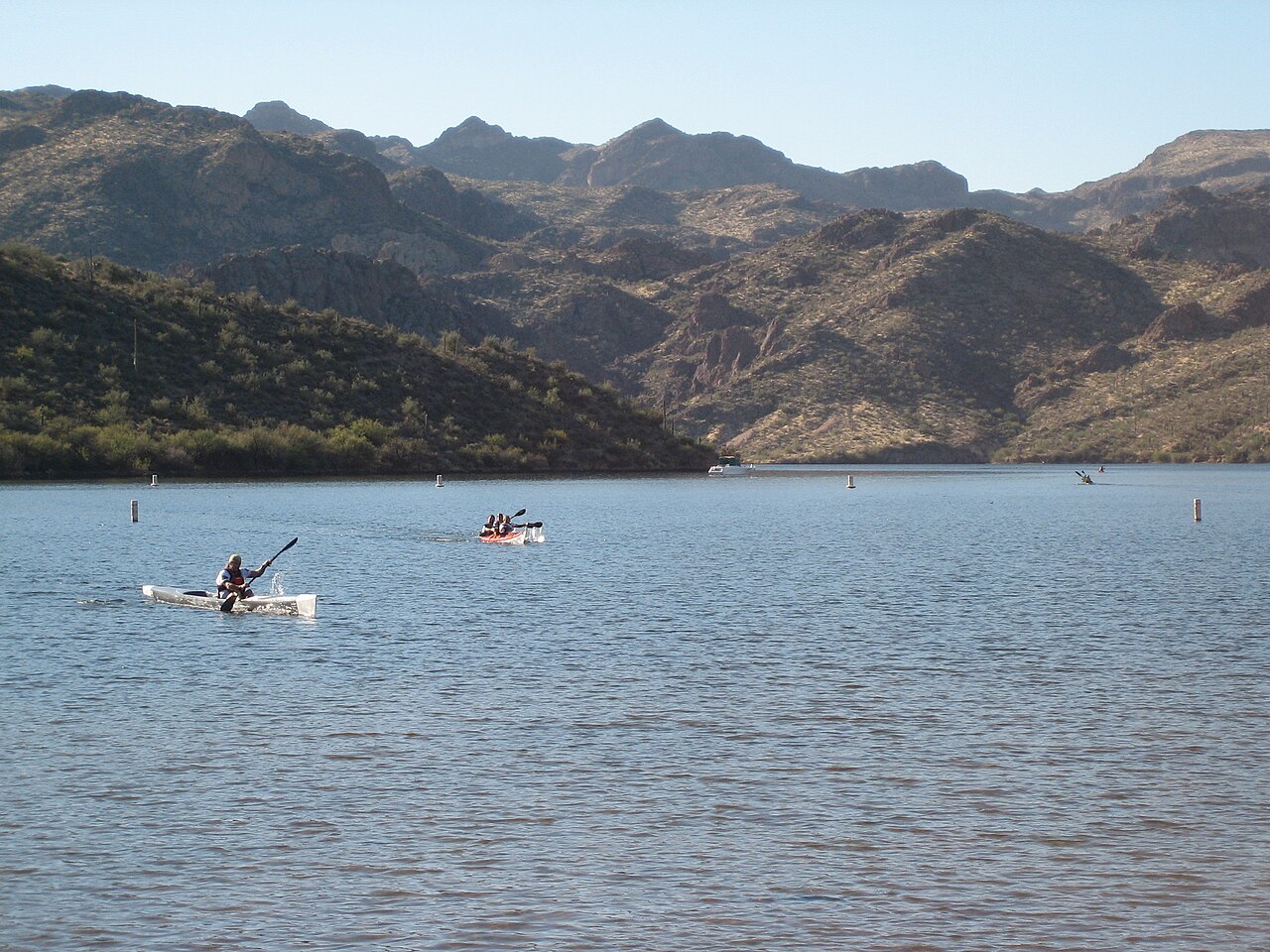
Saguaro Lake
Saguaro Lake covers about 1,264 acres of the Salt River in Arizona. Its shoreline falls inside Maricopa County. Management is in…
Reservoir
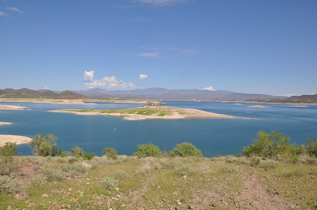
Lake Pleasant
At roughly 9,970 acres, Lake Pleasant is one of the lakes covered in Arizona. Its shoreline falls inside Yavapai County. Bureau…
Reservoir
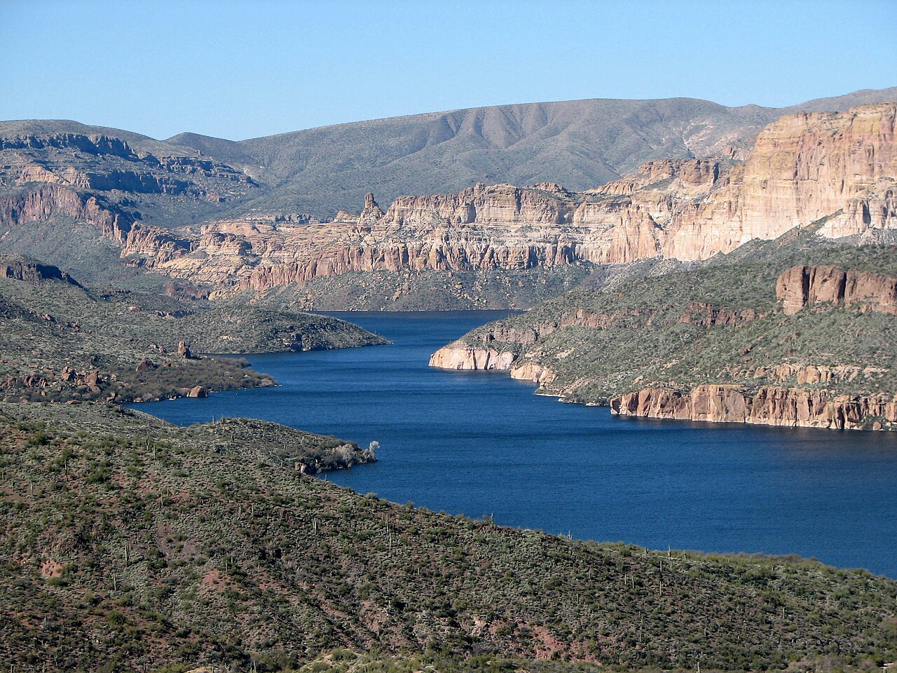
Apache Lake
Apache Lake covers about 2,568 acres of the Salt River in Arizona. You will find it in Maricopa County. It is managed by USDA…
Reservoir
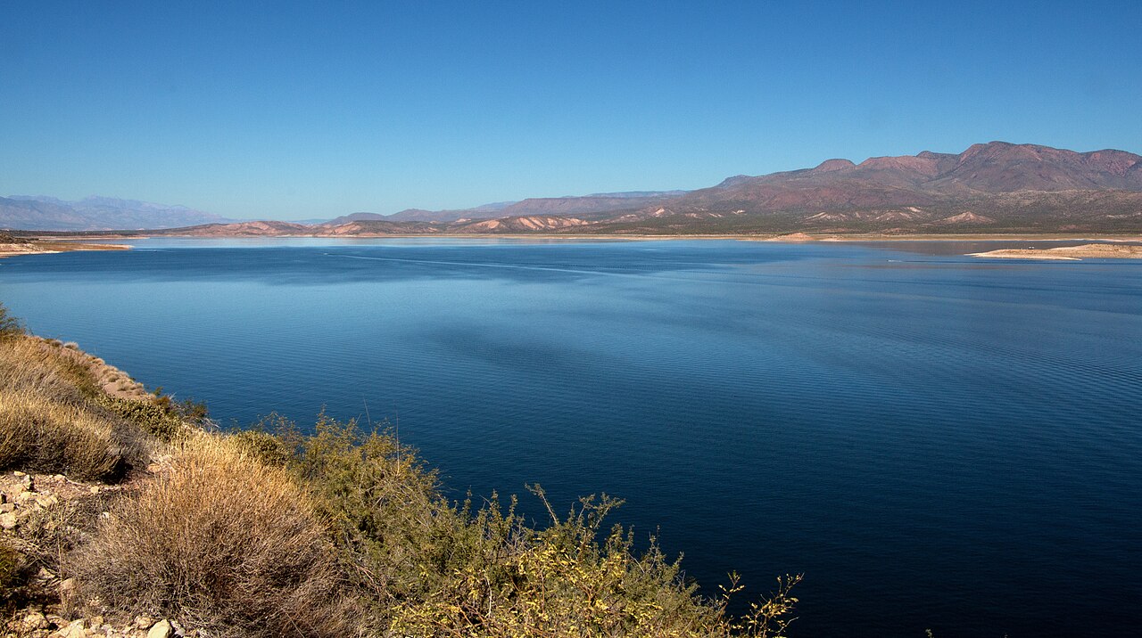
Theodore Roosevelt Lake
Theodore Roosevelt Lake is a reservoir of some 21,493 acres on the Salt River, in Arizona. The lake is in Gila County. Management…
Reservoir
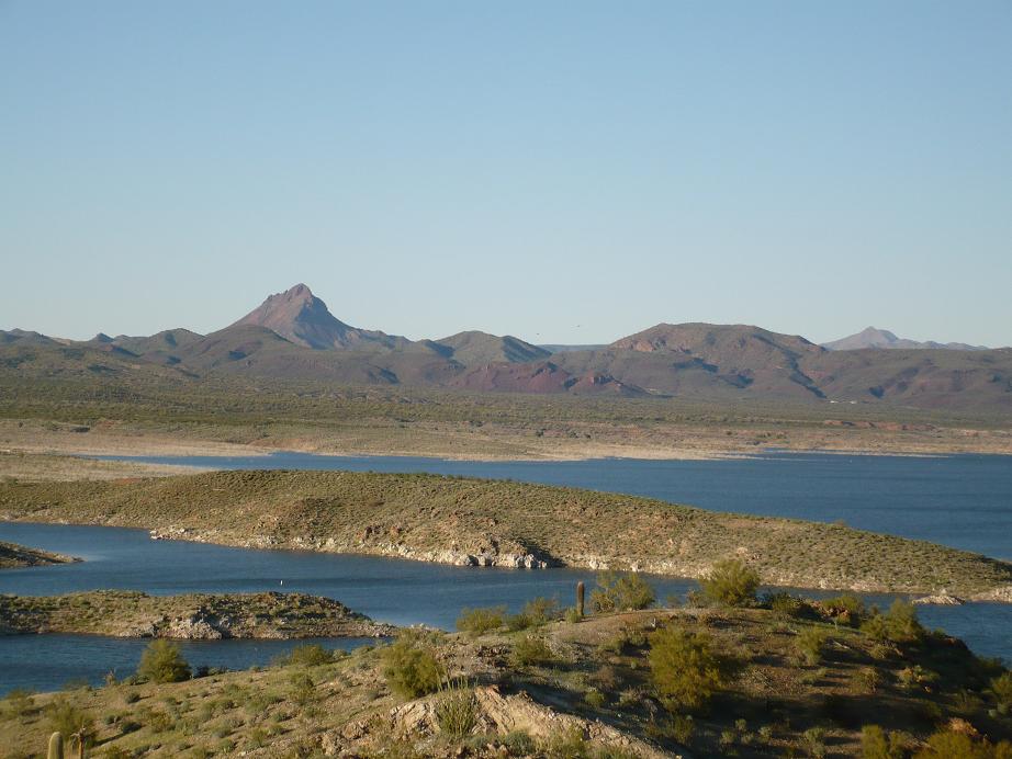
Alamo Lake
At roughly 3,665 acres, Alamo Lake is one of the lakes covered in Arizona. It lies in La Paz County. Arizona State Parks & Trails…
Reservoir
Explore around Arizona
All lakes in Arizona Lakes near Scottsdale Lakes near Fountain Hills
Sources
Every figure on this page comes from one of these public sources.