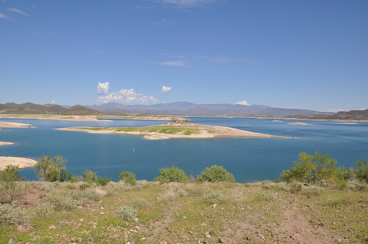
Lake Pleasant
At roughly 9,970 acres, Lake Pleasant is one of the lakes covered in Arizona. Its shoreline falls inside Yavapai County. Bureau…
Reservoir

Lakes
This guide covers 9 lakes and reservoirs in Arizona. 1 of them have a public water level gauge, and together they hold 3 mapped swimming spots. Each page carries the live level where an agency publishes one, plus weather, access points and sources.
Click a marker to open the lake page.
Ordered by how much people search for them.
At roughly 9,970 acres, Lake Pleasant is one of the lakes covered in Arizona. Its shoreline falls inside Yavapai County. Bureau…
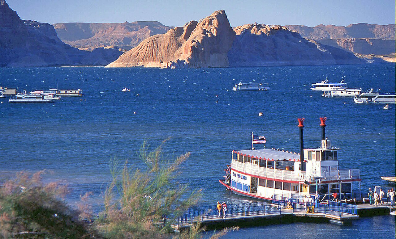
Lake Powell is a 162,595-acre reservoir on the Colorado River in Arizona. Its shoreline falls inside Kane County. Management is…
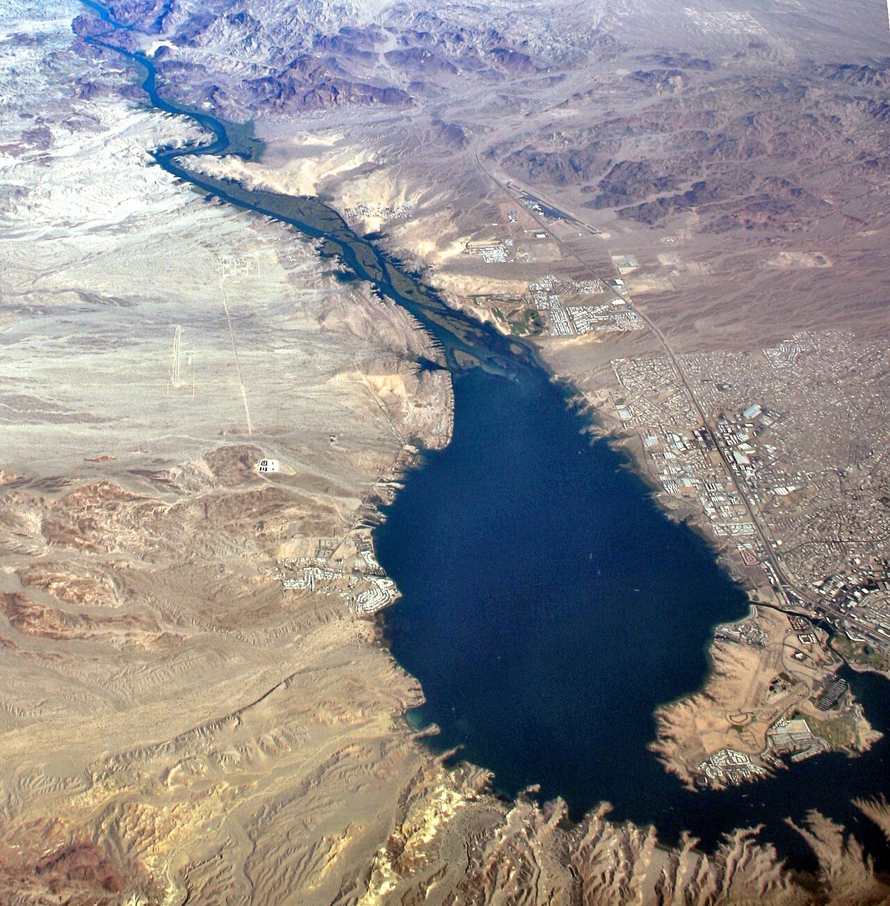
Lake Havasu is a reservoir of some 19,299 acres on the Colorado River, in Arizona. The lake is in Mohave County. USBR Lower…
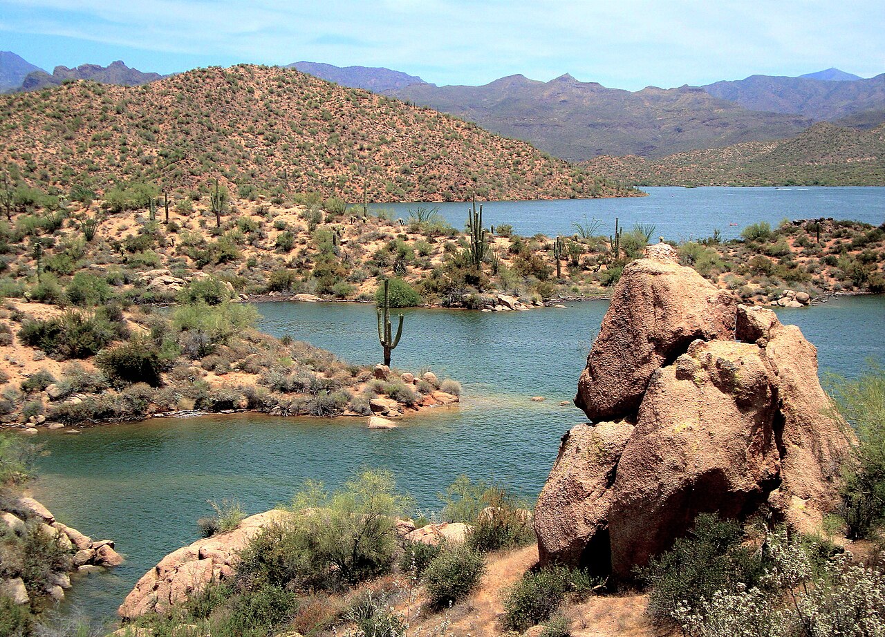
Bartlett Lake covers about 2,815 acres of the Verde River in Arizona. It lies in Maricopa County. Management is in the hands of…
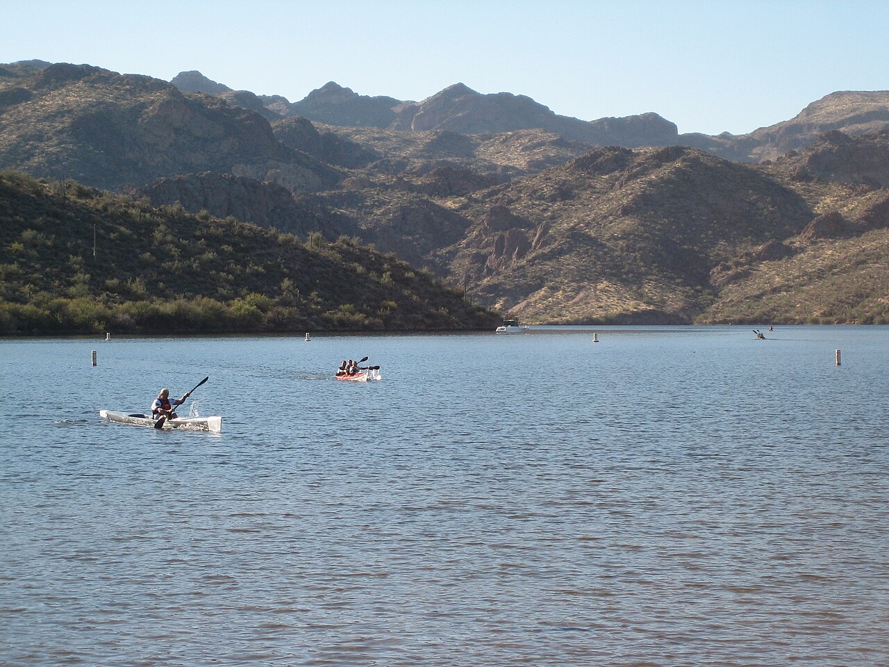
Saguaro Lake covers about 1,264 acres of the Salt River in Arizona. Its shoreline falls inside Maricopa County. Management is in…
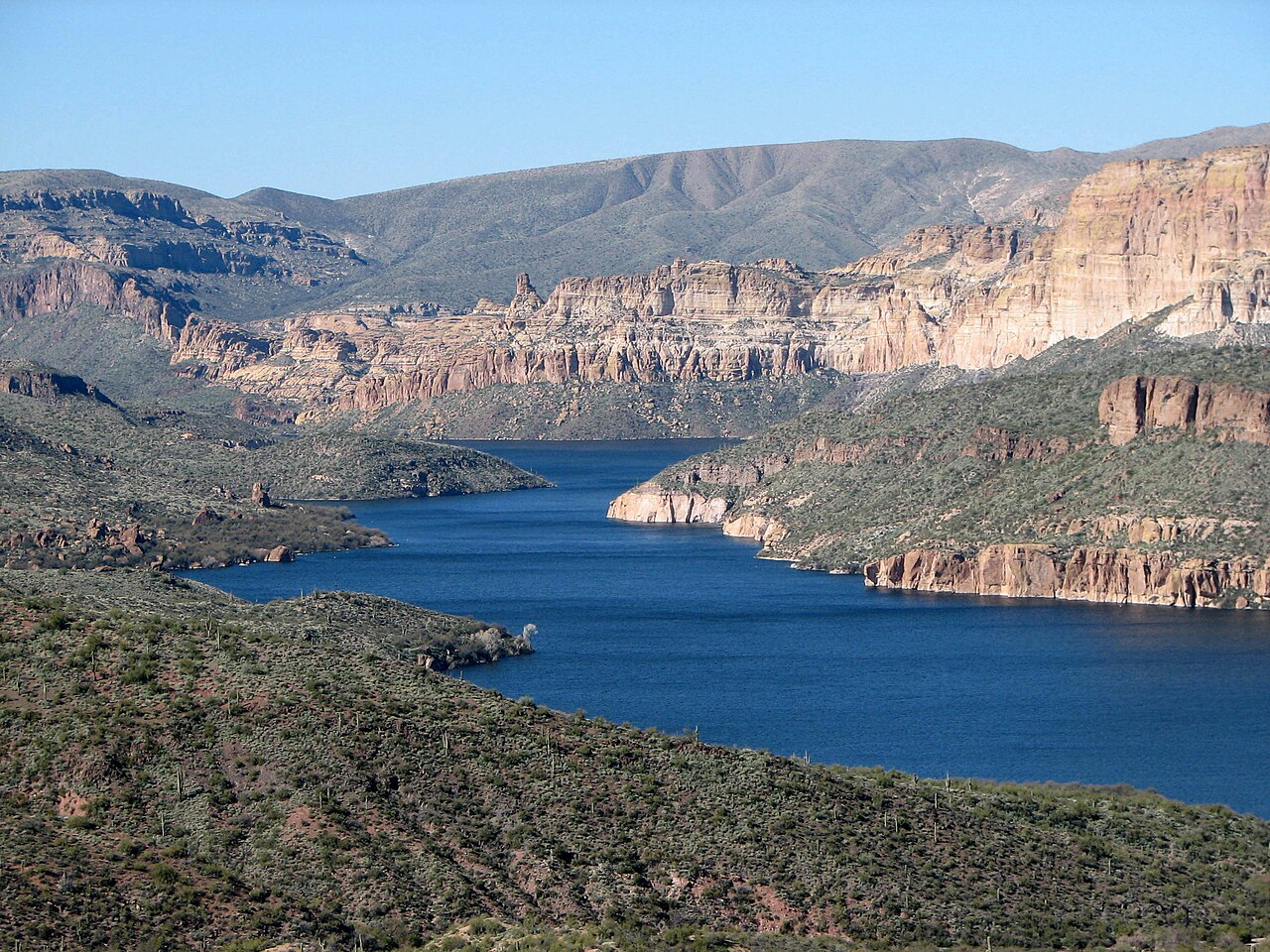
Apache Lake covers about 2,568 acres of the Salt River in Arizona. You will find it in Maricopa County. It is managed by USDA…
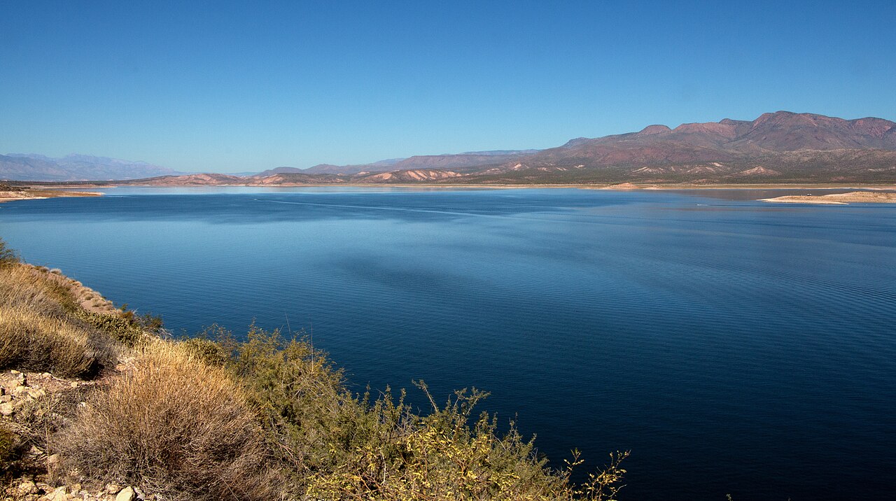
Theodore Roosevelt Lake is a reservoir of some 21,493 acres on the Salt River, in Arizona. The lake is in Gila County. Management…
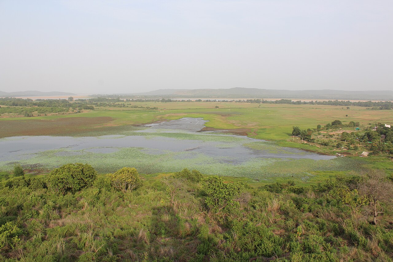
Horseshoe Lake covers about 790 acres of the Verde River in Arizona. It lies in Yavapai County. It is managed by USDA Forest…
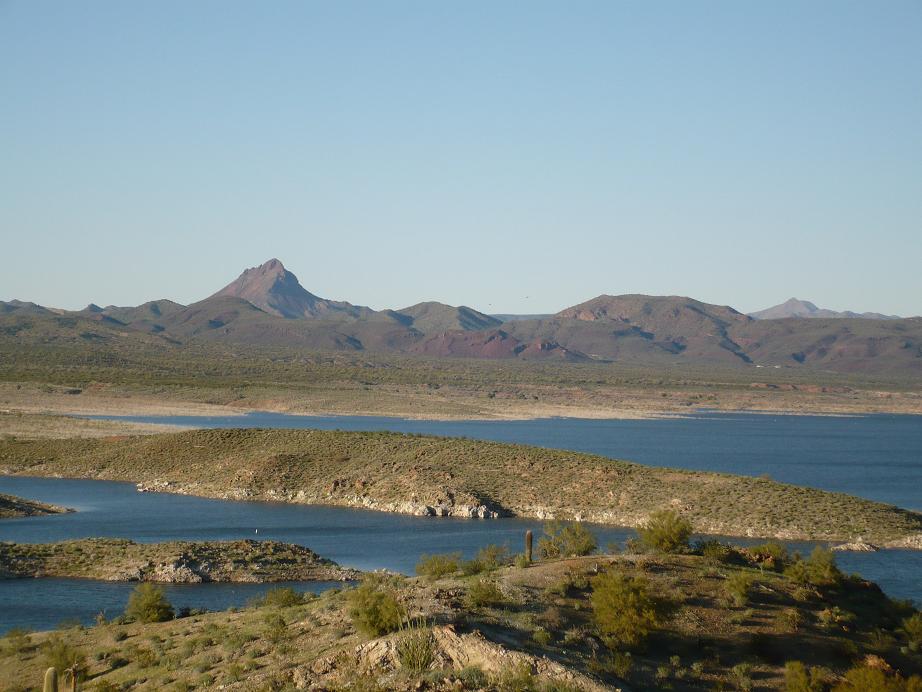
At roughly 3,665 acres, Alamo Lake is one of the lakes covered in Arizona. It lies in La Paz County. Arizona State Parks & Trails…