
CountiesPulaski County
VirginiaReservoirPulaski County
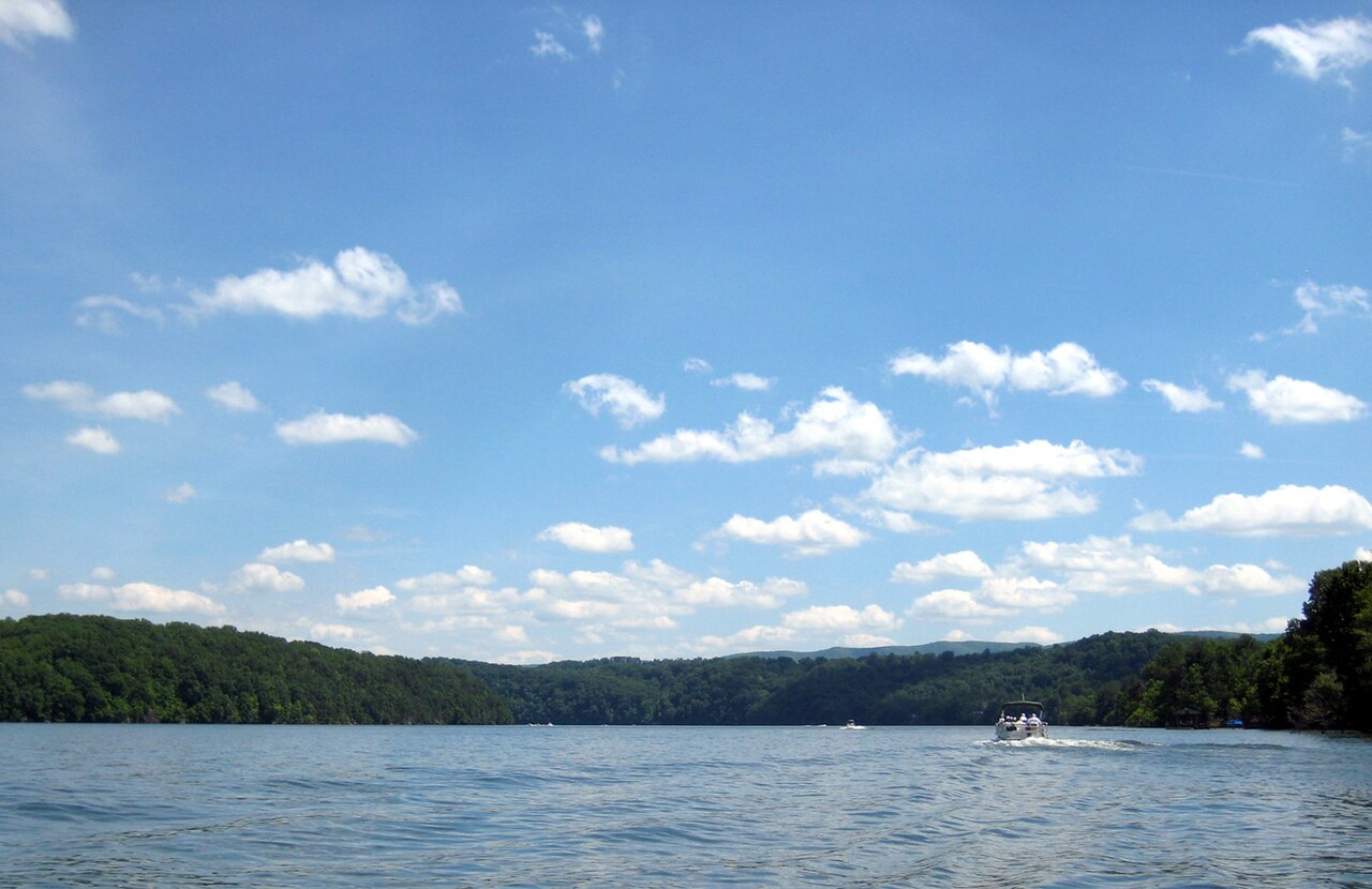
Claytor Lake
Claytor Lake is a 4,472-acre reservoir on the New River in Virginia. The lake is in Pulaski County. Management is in the hands of Virginia DCR / AEP shoreline management.
Coordinates37.0373, -80.6593
Surface area4,472 acres
RiverNew River
Completed1940
Managed byVirginia DCR / AEP shoreline management
Swimming beaches on Claytor Lake
No named swimming beach is mapped yet for this lake. Access is through agency day-use areas and boat ramps listed below. We add beach pages only when we can confirm a name, coordinates and an operating agency.
Claytor Lake on the map
Lake center, swimming spots and access points.
Weather and water temperature
Air temperature and wind from Open-Meteo. Water temperature only when the lake has a public sensor.
Weather data by Open-Meteo
Is Claytor Lake good for swimming?
On the map, Claytor Lake is centered near 37.0373, -80.6593. Releases go downstream into the New River. Impoundment dates back to 1940.
Where there is no marked beach, entry is usually from a boat ramp or an unimproved bank. No named swimming beach is mapped at Claytor Lake in the federal and state datasets this guide reads. Access is through whatever the operating agency provides on the ground, so check with them first.
Check the operating agency for advisories before any water contact, especially for blue-green algae in late summer. Most Virginia day-use areas open for the summer season and close outside it. There is no water temperature sensor here, so only air conditions are shown.
Where an agency publishes a figure, we show it with the time it was taken; here there is none. Water level is missing from this page on purpose: no public feed covers Claytor Lake. The nearest gauge on record, 03170500 (LITTLE RIVER RESERVOIR NEAR RADFORD, VA), sits some 6 miles off and covers other water.
Nearby water includes Little River Reservoir (Virginia, 6 mi), Philpott Lake (Virginia, 39 mi) and Bluestone Lake (West Virginia, 44 mi). In all, 10 lakes in Virginia are covered here.
Questions about Claytor Lake
Is there a beach at Claytor Lake?
No named swimming beach appears in the federal and state datasets this guide reads. Check the operating agency for day-use areas on the ground.
How big is Claytor Lake?
About 4,472 acres.
What other lakes are near Claytor Lake?
The closest in this guide is Little River Reservoir, about 6 miles away in Virginia.
Lakes near Claytor Lake
Other lakes in this guide, ordered by distance.
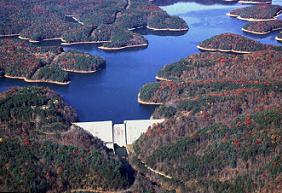
Philpott Lake
Philpott Lake covers about 2,900 acres of the Smith River in Virginia. Its shoreline falls inside Henry County. It is managed by…
Reservoir
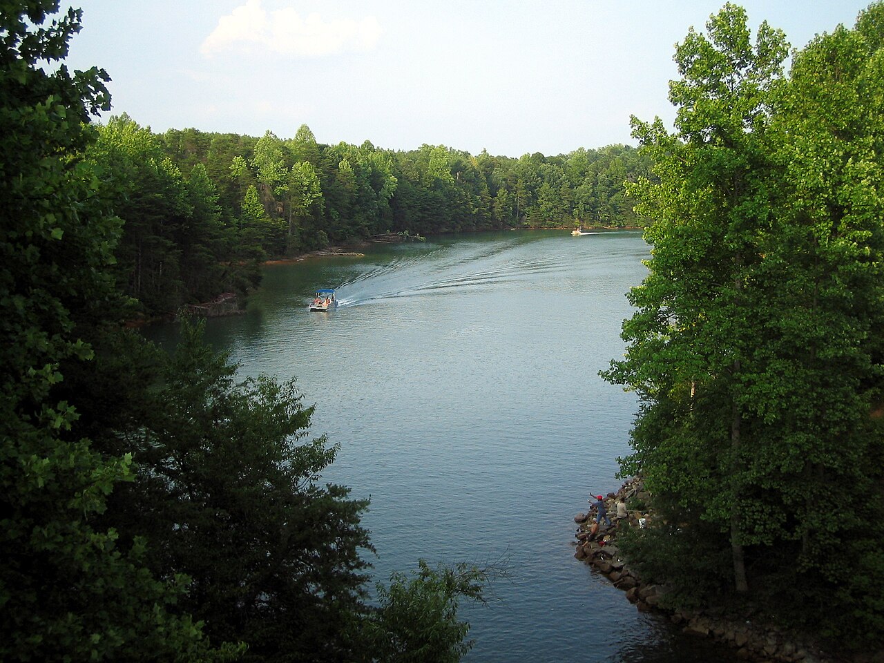
Belews Lake
Belews Lake is a 3,864-acre reservoir on the Belews Creek in North Carolina. You will find it in Stokes County. It is managed by…
Reservoir
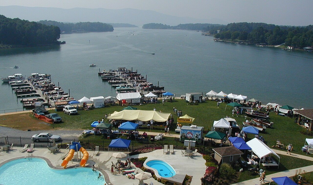
Smith Mountain Lake
Smith Mountain Lake covers about 20,510 acres of the Roanoke River in Virginia. You will find it in Franklin County. Appalachian…
Reservoir
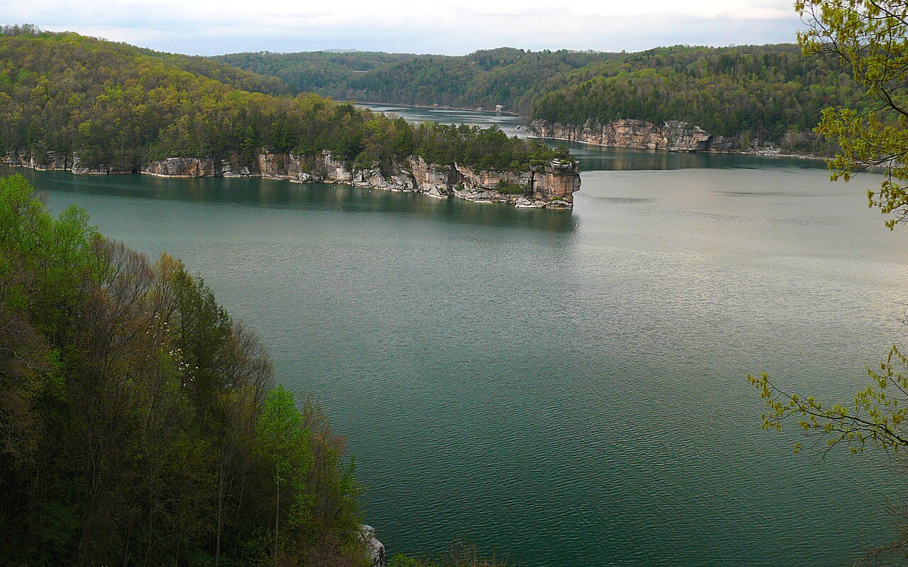
Summersville Lake
Summersville Lake covers about 2,700 acres in West Virginia. It lies in Nicholas County. USACE Huntington District manages it.…
Reservoir1 beach
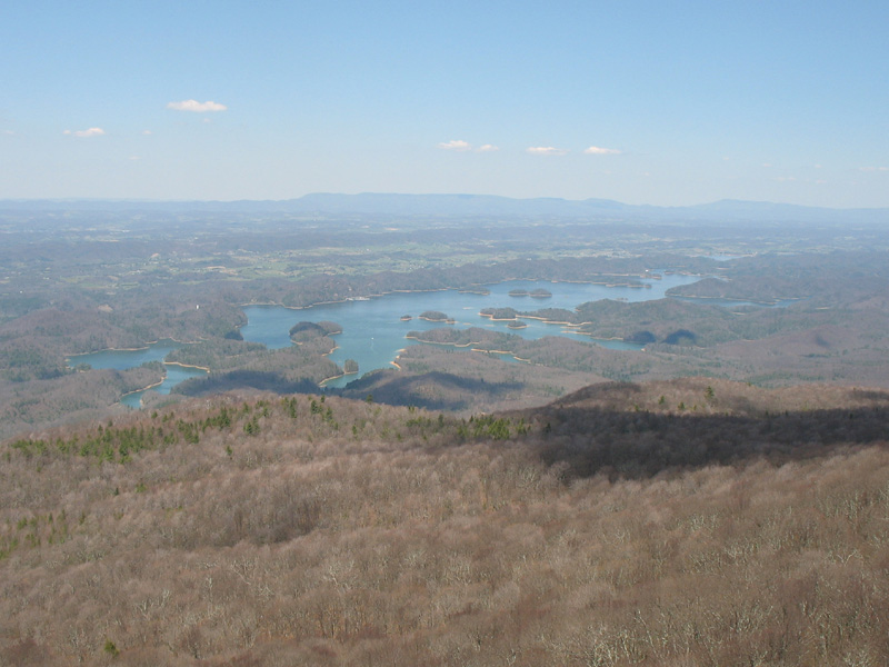
South Holston Lake
South Holston Lake is a reservoir of some 7,580 acres on the South Fork Holston River, in Tennessee. Its shoreline falls inside…
Reservoir1 beach
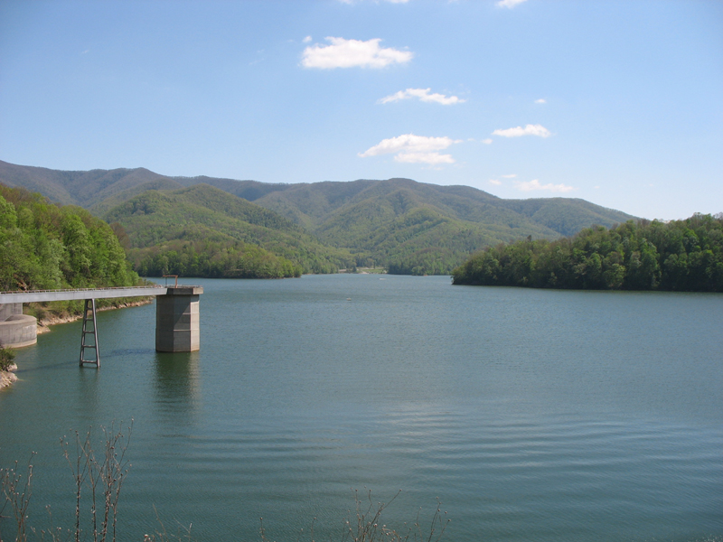
Watauga Lake
Watauga Lake is a 6,430-acre reservoir on the Watauga River in Tennessee. Its shoreline falls inside Carter County. Tennessee…
Reservoir2 beaches
Explore around Virginia
Sources
Every figure on this page comes from one of these public sources.