
CountiesHenry County
VirginiaReservoirHenry County
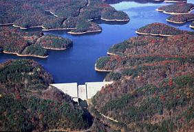
Philpott Lake
Philpott Lake covers about 2,900 acres of the Smith River in Virginia. Its shoreline falls inside Henry County. It is managed by USACE Wilmington District. The gauge last read 968.00 ft.
Water level today: 968.00 ft · see the full record
Coordinates36.7814, -80.0275
Surface area2,900 acres
RiverSmith River
Managed byUSACE Wilmington District
Swimming beaches on Philpott Lake
No named swimming beach is mapped yet for this lake. Access is through agency day-use areas and boat ramps listed below. We add beach pages only when we can confirm a name, coordinates and an operating agency.
Philpott Lake on the map
Lake center, swimming spots and access points.
Weather and water temperature
Air temperature and wind from Open-Meteo. Water temperature only when the lake has a public sensor.
Weather data by Open-Meteo
Water level today
Station 02071900, PHILPOTT RES AT PHILPOTT DAM NR PHILPOTT, VA, publishes the water surface elevation used here. The last value stored here, 968.00 ft, is from 2026-09-09. The Corps of Engineers puts the top of the flood pool at 985.0 ft. The top of the dam sits at 1,016.0 ft. A falling pool widens the beaches and shortens the ramps, so it is worth checking before you drive out.
968.00 ft trend not available
Swimming at Philpott Lake
On the map, Philpott Lake is centered near 36.7814, -80.0275. Outflow feeds the Smith River. Surface elevation is about 974 feet.
Around Philpott Lake this guide maps 9 public recreation areas. Recreation areas nearby include Philpott Park, Turkey Island and Bowens Creek. Facilities vary from one access point to the next, so check before you rely on one.
Station 02071900, PHILPOTT RES AT PHILPOTT DAM NR PHILPOTT, VA, publishes the water surface elevation used here. The last value stored here, 968.00 ft, is from 2026-09-09. The Corps of Engineers puts the top of the flood pool at 985.0 ft. The top of the dam sits at 1,016.0 ft. A falling pool widens the beaches and shortens the ramps, so it is worth checking before you drive out.
Water quality is monitored unevenly on inland lakes, so posted notices are the most reliable guide. Most Virginia day-use areas open for the summer season and close outside it. There is no water temperature sensor here, so only air conditions are shown.
The closest lakes in this guide are Smith Mountain Lake (Virginia, 33 mi), Belews Lake (North Carolina, 33 mi) and Little River Reservoir (Virginia, 36 mi). In all, 10 lakes in Virginia are covered here.
Recreation areas on Philpott Lake
9 public recreation areas mapped around the lake by the U.S. Army Corps of Engineers. Facilities vary by area; check the managing office for opening dates and fees.
Philpott Park Turkey Island Bowens Creek Deer Island Goose Point Salthouse Branch Twin Ridge Park Horseshoe Point Jamison Mill
Source: USACE Recreation Areas
Questions about Philpott Lake
Is there a beach at Philpott Lake?
No named swimming beach appears in the federal and state datasets this guide reads. Check the operating agency for day-use areas on the ground.
How big is Philpott Lake?
About 2,900 acres.
What other lakes are near Philpott Lake?
The closest in this guide is Smith Mountain Lake, about 33 miles away in Virginia.
Lakes near Philpott Lake
Other lakes in this guide, ordered by distance.
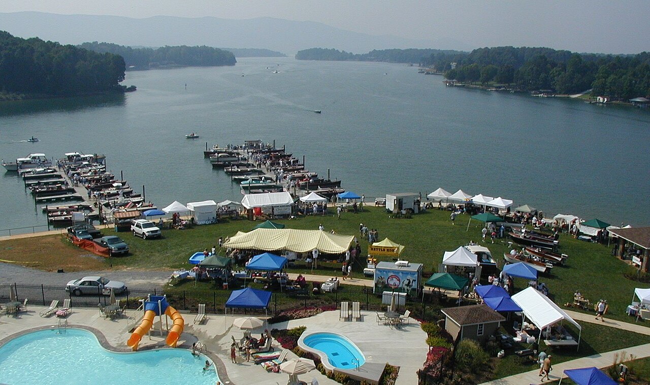
Smith Mountain Lake
Smith Mountain Lake covers about 20,510 acres of the Roanoke River in Virginia. You will find it in Franklin County. Appalachian…
Reservoir
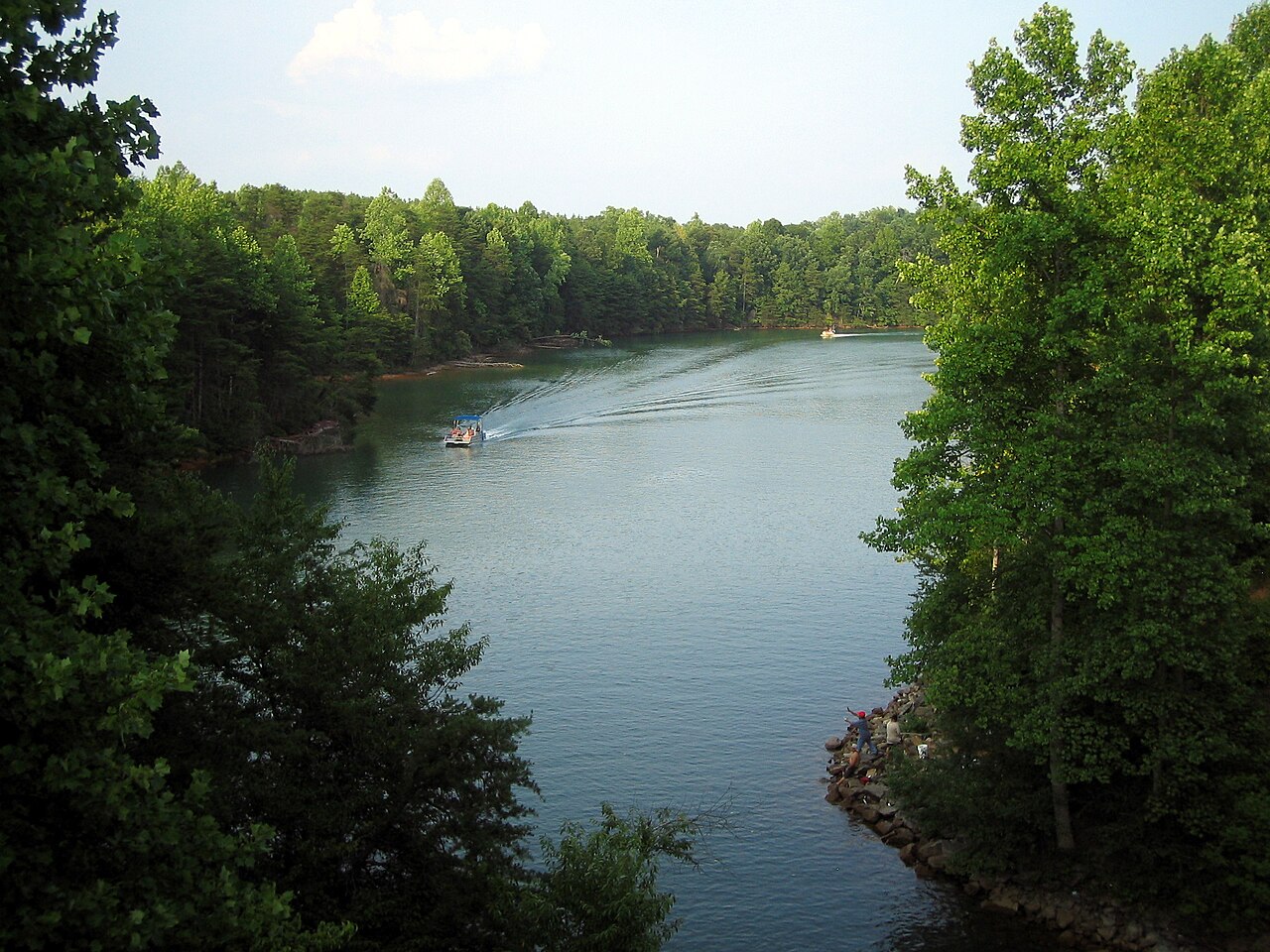
Belews Lake
Belews Lake is a 3,864-acre reservoir on the Belews Creek in North Carolina. You will find it in Stokes County. It is managed by…
Reservoir
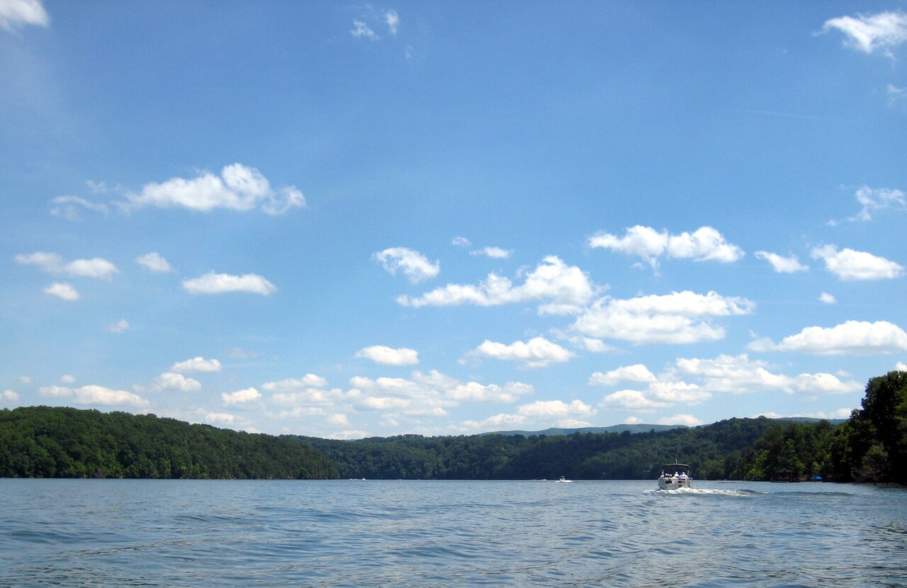
Claytor Lake
Claytor Lake is a 4,472-acre reservoir on the New River in Virginia. The lake is in Pulaski County. Management is in the hands of…
Reservoir
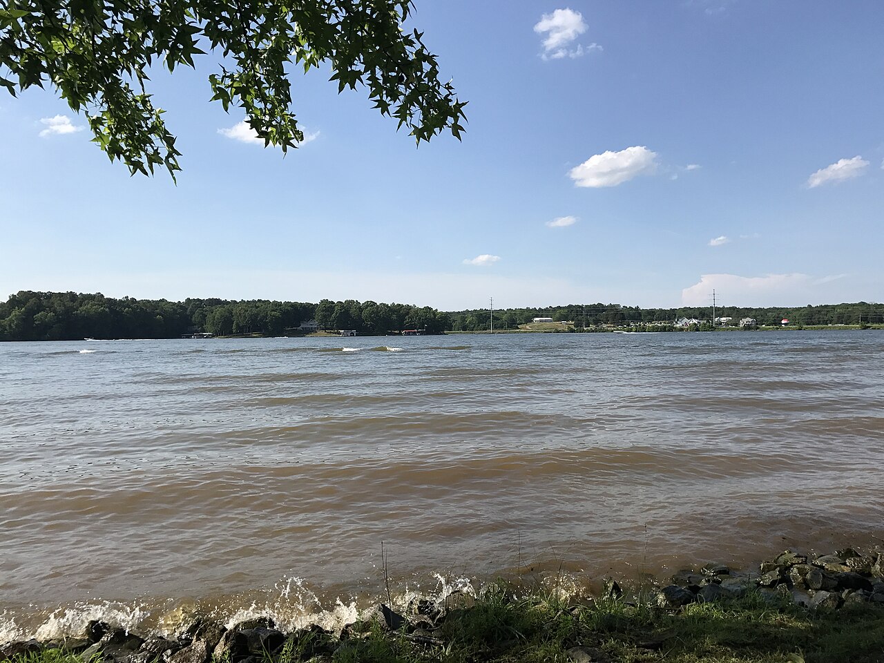
Hyco Lake
Fed by the catchment =, Hyco Lake holds roughly 3,750 acres of water in North Carolina. You will find it in Person County.…
Reservoir
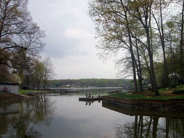
High Rock Lake
High Rock Lake is a reservoir of some 15,180 acres on the Yadkin River, in North Carolina. It lies in Rowan County. Cube Yadkin…
Reservoir
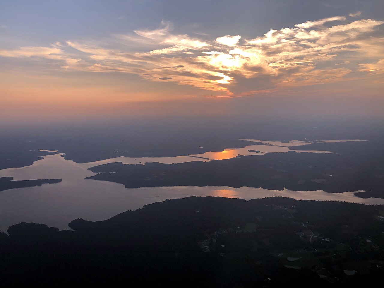
Falls Lake
Falls Lake is a reservoir of some 12,355 acres on the Neuse River, in North Carolina. Management is in the hands of USACE…
Reservoir
Explore around Virginia
Sources
Every figure on this page comes from one of these public sources.