
CountiesCarter County
TennesseeReservoirCarter County
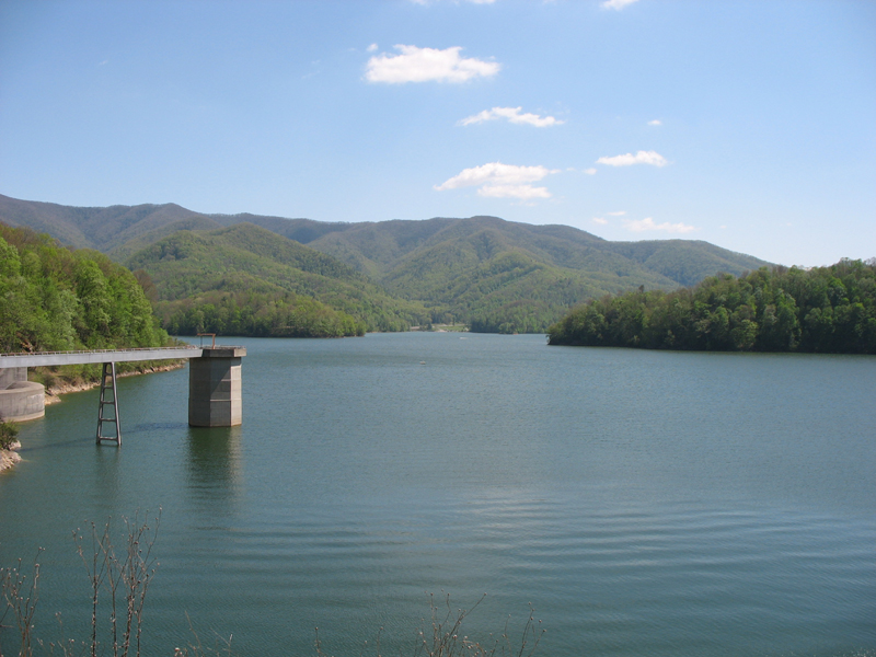
Watauga Lake
Watauga Lake is a 6,430-acre reservoir on the Watauga River in Tennessee. Its shoreline falls inside Carter County. Tennessee Valley Authority manages it. This guide maps 2 named swimming spots around its shoreline.
Coordinates36.3328, -82.0024
Surface area6,430 acres
Max depth265 ft
RiverWatauga River
Managed byTennessee Valley Authority
Swimming beaches on Watauga Lake
2 named swimming spots and shoreline access points, from USGS GNIS, Recreation.gov and the Forest Service. None is staffed by a lifeguard unless the operating agency posts one.
Watauga Point Picnic Area
Managed by Cherokee National Forest; open 4/1/2024 to 10/15/2024; fee information published, published season; 4.7 mi from the…
USDA Forest ServiceSwimmingFee Information PublishedPublished Season
Watauga Lake on the map
Lake center, swimming spots and access points.
Weather and water temperature
Air temperature and wind from Open-Meteo. Water temperature only when the lake has a public sensor.
Weather data by Open-Meteo
Watauga Lake at a glance
Its coordinates are 36.3328, -82.0024. Water leaves through the Watauga River. Maximum depth is around 265 feet. Surface elevation is about 1,959 feet.
The shoreline of Watauga Lake has 2 named swimming spots in the datasets we read. Watauga Lake Area and Watauga Point Picnic Area are on the list. These come from Recreation.gov (RIDB) and USDA Forest Service. Facilities vary from one access point to the next, so check before you rely on one.
Freshwater advisories are issued locally, so check the state health department before you swim. Water temperature is not measured at this lake by any public agency we read. Swimming season in Tennessee runs through the warm months, and day-use areas set their own opening dates.
We check the public feeds daily, so this page will fill in if one appears. Nobody publishes a continuous level for Watauga Lake in a form this guide can read, so the page carries access and weather instead.
If Watauga Lake is busy, the nearest alternatives here are South Holston Lake (Tennessee, 14 mi), Boone Lake (Tennessee, 25 mi) and Fort Patrick Henry Lake (Tennessee, 30 mi). In all, 25 lakes in Tennessee are covered here.
Questions about Watauga Lake
Can you swim in Watauga Lake?
Yes. This guide maps 2 named swimming spots around the lake, including Watauga Lake Area and Watauga Point Picnic Area. None is staffed by a lifeguard unless the operating agency posts one.
How big is Watauga Lake?
About 6,430 acres. Maximum depth is around 265 feet.
What other lakes are near Watauga Lake?
The closest in this guide is South Holston Lake, about 14 miles away in Tennessee.
Lakes near Watauga Lake
Other lakes in this guide, ordered by distance.
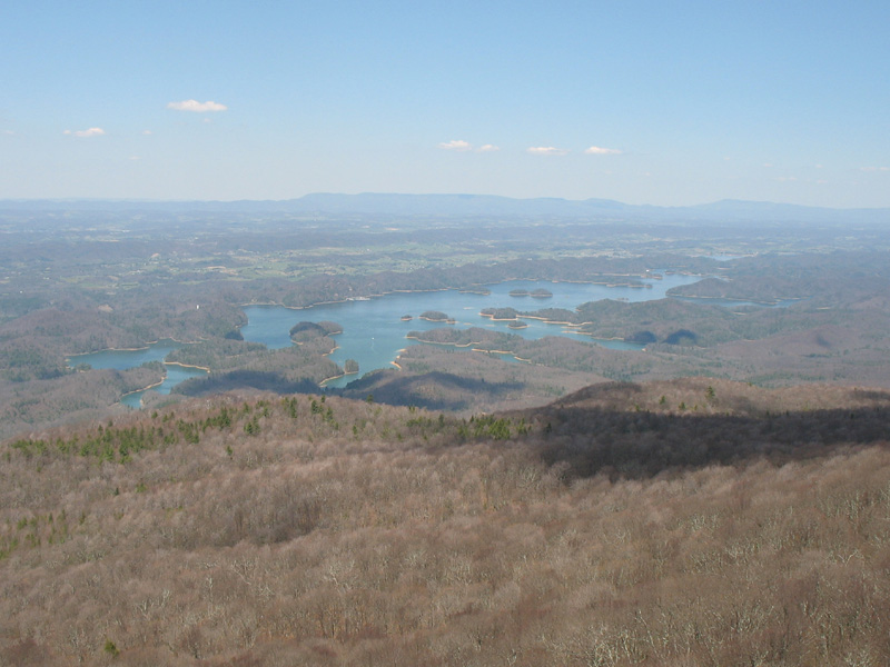
South Holston Lake
South Holston Lake is a reservoir of some 7,580 acres on the South Fork Holston River, in Tennessee. Its shoreline falls inside…
Reservoir1 beach
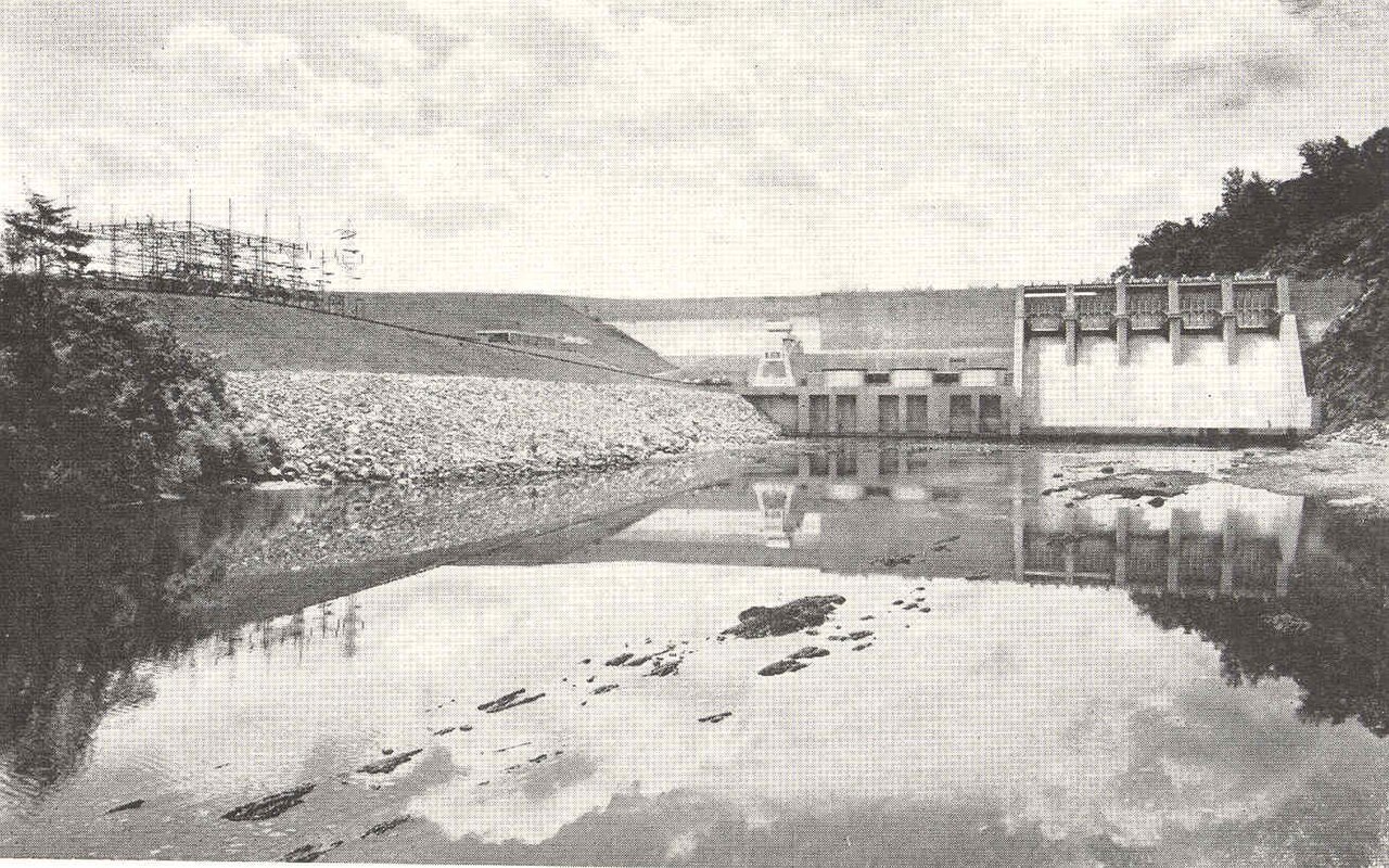
Boone Lake
Boone Lake covers about 4,400 acres of the Holston River in Tennessee. You will find it in Washington County. Management is in…
Reservoir
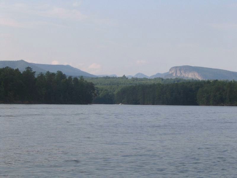
Lake James
Lake James covers about 6,820 acres of the Catawba River in North Carolina. It lies in McDowell County. It is managed by Duke…
Reservoir1 beach
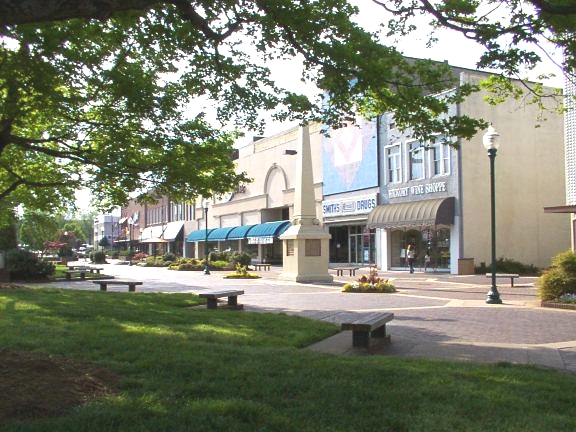
Lake Hickory
Lake Hickory covers about 19,201 acres in North Carolina. The lake is in Catawba County. Duke Energy / City of Hickory manages it.
Reservoir
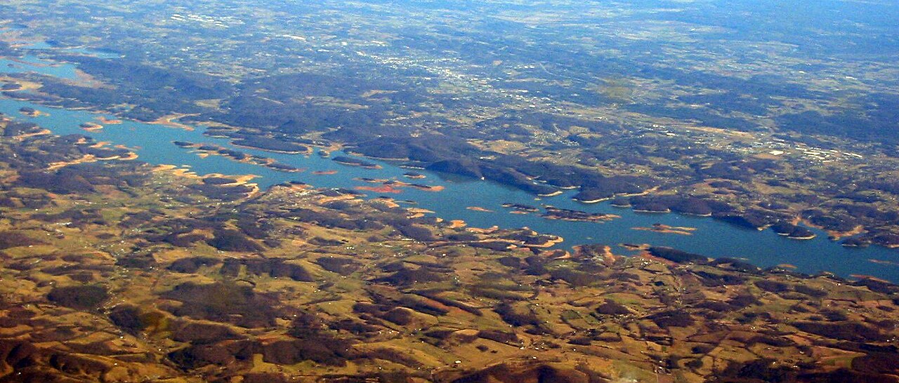
Cherokee Lake
Cherokee Lake is a reservoir of some 28,780 acres on the Holston River, in Tennessee. Tennessee Valley Authority / TWRA manages…
Reservoir
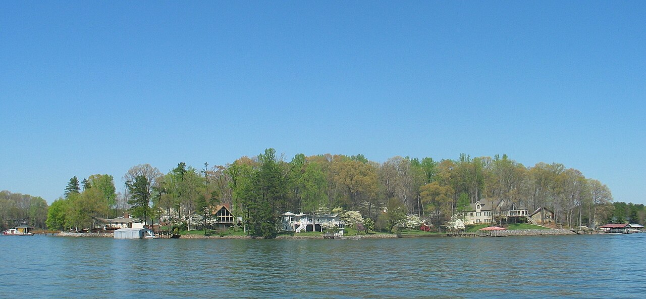
Lake Norman
Lake Norman covers about 32,510 acres of the Catawba River via Cowans Ford Dam in North Carolina. It lies in Iredell County.…
Reservoir
Explore around Tennessee
All lakes in Tennessee Swimming spots in Tennessee Lakes near Elizabethton Lakes near Bristol
Sources
Every figure on this page comes from one of these public sources.