
CountiesNicholas County
West VirginiaReservoirNicholas County
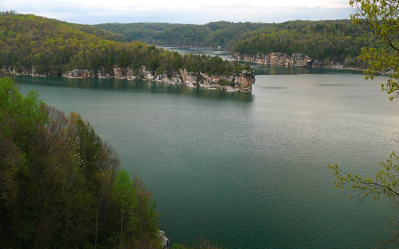
Summersville Lake
Summersville Lake covers about 2,700 acres in West Virginia. It lies in Nicholas County. USACE Huntington District manages it. This guide maps 1 named swimming spot around its shoreline.
Coordinates38.2231, -80.8906
Surface area2,700 acres
Completed1966
Managed byUSACE Huntington District
Swimming beaches on Summersville Lake
1 named swimming spot and shoreline access points, from USGS GNIS, Recreation.gov and the Forest Service. None is staffed by a lifeguard unless the operating agency posts one.
Summersville Lake on the map
Lake center, swimming spots and access points.
Weather and water temperature
Air temperature and wind from Open-Meteo. Water temperature only when the lake has a public sensor.
Weather data by Open-Meteo
Summersville Lake in West Virginia
On the map, Summersville Lake is centered near 38.2231, -80.8906. The reservoir dates from 1966.
The shoreline of Summersville Lake has 1 named swimming spot and 6 public recreation areas in the datasets we read. These come from Recreation.gov (RIDB). Recreation areas nearby include Tailwaters, Battle Run and Roadside Park. They include Summersville Lake. Parking is the usual limit on busy summer weekends.
The closest lakes in this guide are Sutton Lake (West Virginia, 32 mi), Bluestone Lake (West Virginia, 40 mi) and Burnsville Lake (West Virginia, 45 mi). In all, 10 lakes in West Virginia are covered here.
Freshwater advisories are issued locally, so check the state health department before you swim. Water temperature is not measured at this lake by any public agency we read. Season dates vary by park; the operating agency publishes them each spring.
Where an agency publishes a figure, we show it with the time it was taken; here there is none. There is no live level reading for Summersville Lake. The agencies that run this water do not publish one openly, and we do not estimate what has not been measured.
Recreation areas on Summersville Lake
6 public recreation areas mapped around the lake by the U.S. Army Corps of Engineers. Facilities vary by area; check the managing office for opening dates and fees.
Tailwaters Battle Run Roadside Park Long Point Climbing Lot Salmon Run
Source: USACE Recreation Areas
Questions about Summersville Lake
Can you swim in Summersville Lake?
Yes. This guide maps 1 named swimming spot around the lake, including Summersville Lake. None is staffed by a lifeguard unless the operating agency posts one.
How big is Summersville Lake?
About 2,700 acres.
What other lakes are near Summersville Lake?
The closest in this guide is Sutton Lake, about 32 miles away in West Virginia.
Lakes near Summersville Lake
Other lakes in this guide, ordered by distance.
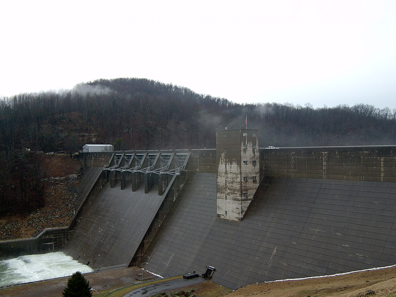
Sutton Lake
Sutton Lake is a 1,520-acre reservoir on the Elk River in West Virginia. You will find it in Braxton County. It is managed by…
Reservoir
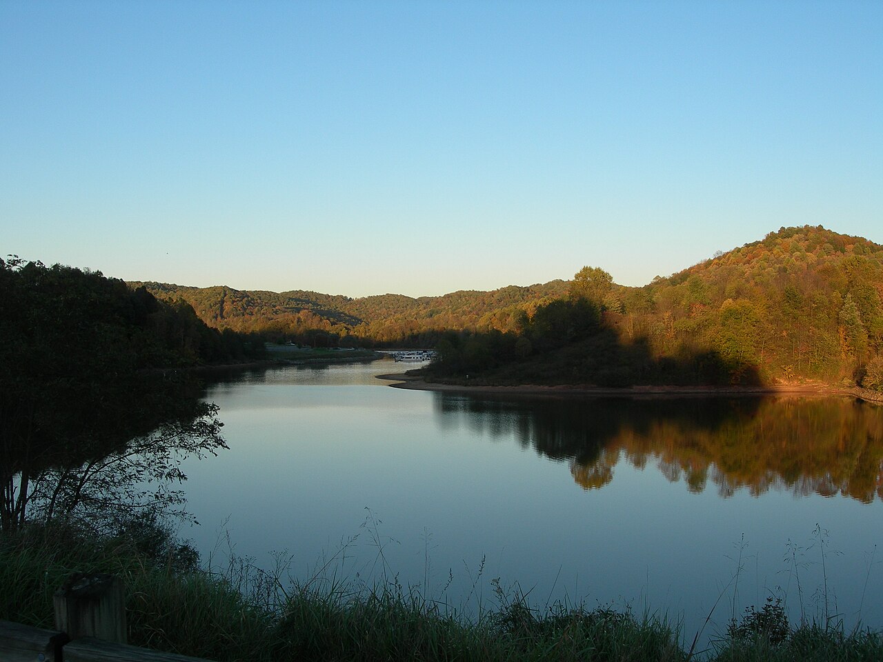
Stonewall Jackson Lake
Stonewall Jackson Lake is a reservoir of some 2,630 acres on the West Fork River, in West Virginia. You will find it in Lewis…
Reservoir
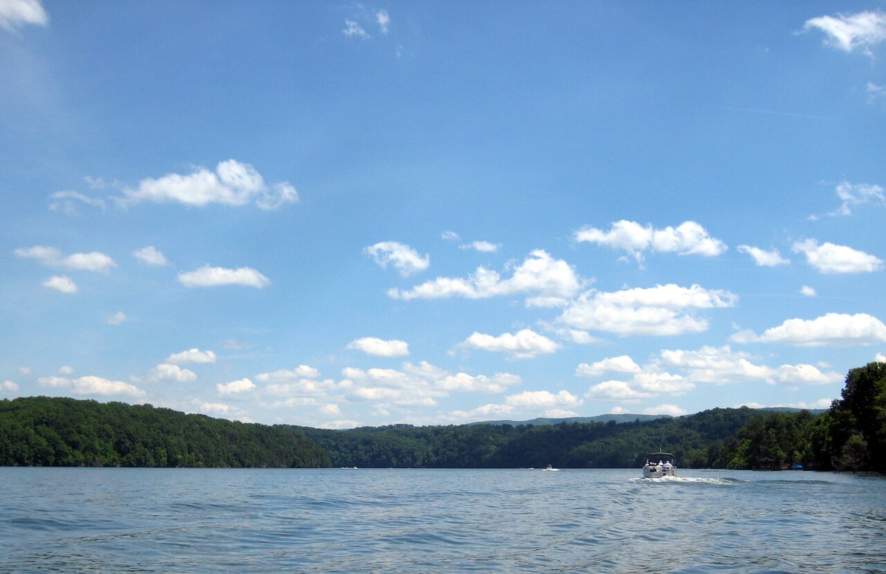
Claytor Lake
Claytor Lake is a 4,472-acre reservoir on the New River in Virginia. The lake is in Pulaski County. Management is in the hands of…
Reservoir
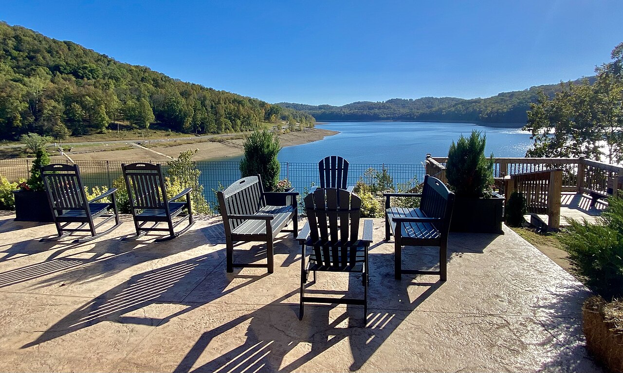
Tygart Lake
Tygart Lake is a 1,750-acre reservoir in West Virginia. It lies in Taylor County. Management is in the hands of WV State Parks /…
Reservoir
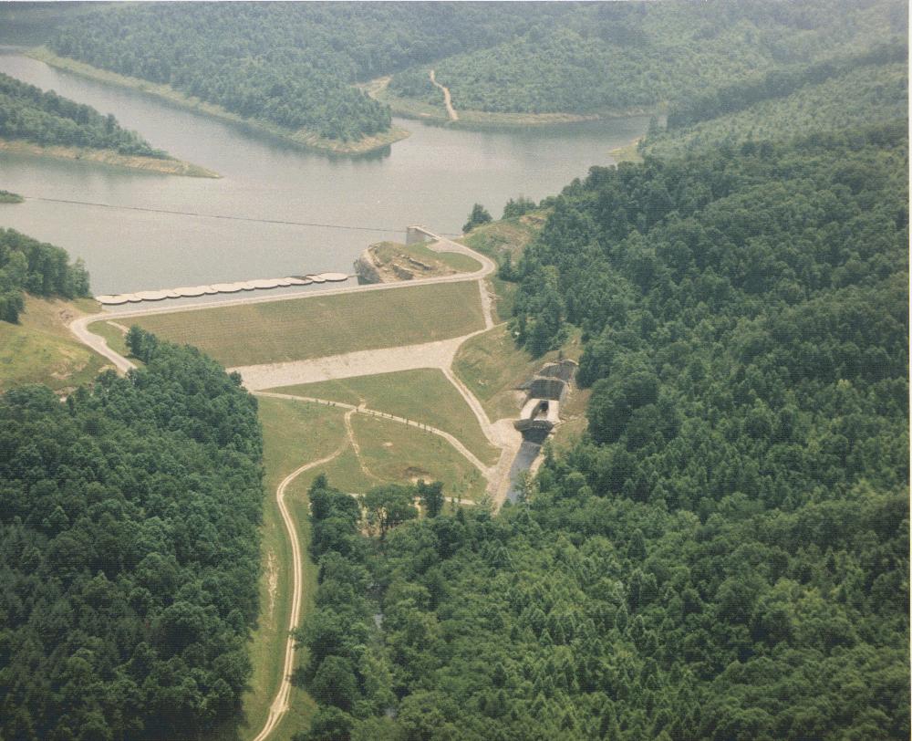
Yatesville Lake
Fed by the catchment =, Yatesville Lake holds roughly 2,242 acres of water in Kentucky. You will find it in Lawrence County.…
Reservoir
Philpott Lake
Philpott Lake covers about 2,900 acres of the Smith River in Virginia. Its shoreline falls inside Henry County. It is managed by…
Reservoir
Explore around West Virginia
Sources
Every figure on this page comes from one of these public sources.