
CountiesPushmataha County
OklahomaReservoirPushmataha County
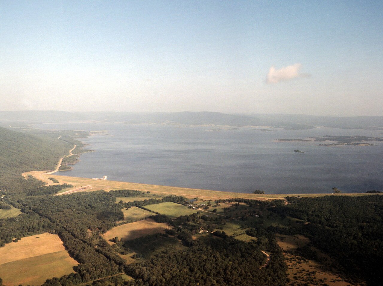
Sardis Lake
Fed by the Little Tallahatchie River, Sardis Lake holds roughly 9,884 acres of water in Mississippi. You will find it in Lafayette County. It is managed by USACE Vicksburg District. This guide maps 1 named swimming spot around its shoreline.
Coordinates34.6583, -95.3789
Surface area14,360 acres
Full pool599.0 ft
RiverJackfork Creek
Managed byUSACE Tulsa District
Swimming beaches on Sardis Lake
No named swimming beach is mapped yet for this lake. Access is through agency day-use areas and boat ramps listed below. We add beach pages only when we can confirm a name, coordinates and an operating agency.
Sardis Lake on the map
Lake center, swimming spots and access points.
Weather and water temperature
Air temperature and wind from Open-Meteo. Water temperature only when the lake has a public sensor.
Weather data by Open-Meteo
A closer look at Sardis Lake
On the map, Sardis Lake is centered near 34.4089, -89.7958. Outflow feeds the Little Tallahatchie River. The surface sits around 256 feet above sea level.
Sardis Lake has no public water level gauge that we can read, so there is no level chart here. An invented number would be worse than none. For a lake this size, the park office is the fastest way to learn how the water sits today.
Nearby water includes Enid Lake (Mississippi, 19 mi), Arkabutla Lake (Mississippi, 31 mi) and Grenada Lake (Mississippi, 41 mi). In all, 11 lakes in Mississippi are covered here.
The shoreline of Sardis Lake has 1 named swimming spot and 16 public recreation areas in the datasets we read. These come from USGS GNIS. Among them are Lower Lake Beach. Recreation areas nearby include Cypress Point, Beach Point and Engineers Point. None is staffed by a lifeguard unless the managing agency posts one.
No public sensor reports water temperature at Sardis Lake, so the panel shows air temperature and wind. Swimming season in Mississippi runs through the warm months, and day-use areas set their own opening dates. Freshwater advisories are issued locally, so check the state health department before you swim.
Recreation areas on Sardis Lake
4 public recreation areas mapped around the lake by the U.S. Army Corps of Engineers. Facilities vary by area; check the managing office for opening dates and fees.
Mathies Potato Hills Sardis Cove The Narrows
Source: USACE Recreation Areas
Questions about Sardis Lake
What is full pool at Sardis Lake?
Full pool is 599.0 ft. Water above that level is flood storage and is released as conditions allow.
Can you swim in Sardis Lake?
Yes. This guide maps 1 named swimming spot around the lake, including Lower Lake Beach. None is staffed by a lifeguard unless the operating agency posts one.
How big is Sardis Lake?
About 9,884 acres.
What other lakes are near Sardis Lake?
The closest in this guide is Enid Lake, about 19 miles away in Mississippi.
Lakes near Sardis Lake
Other lakes in this guide, ordered by distance.
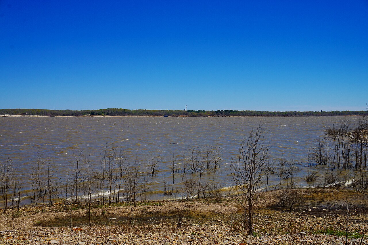
Hugo Lake
Hugo Lake is a 13,250-acre reservoir in Oklahoma. It lies in Choctaw County. Management is in the hands of USACE Tulsa District.
Reservoir
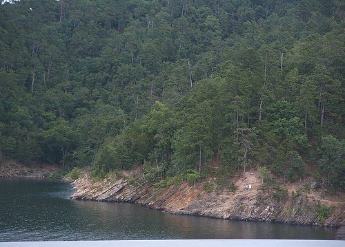
Broken Bow Lake
Broken Bow Lake covers about 14,200 acres of the Mountain Fork in Oklahoma. It lies in McCurtain County. USACE Tulsa District…
Reservoir
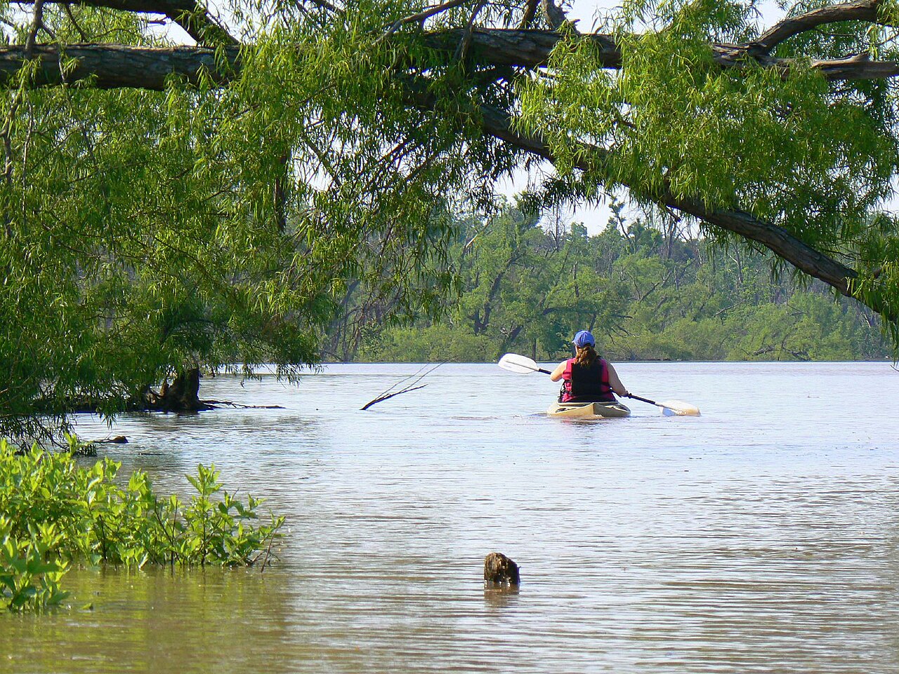
Lake Eufaula
At roughly 2,853 acres, Lake Eufaula is one of the lakes covered in Oklahoma. Its shoreline falls inside McIntosh County. It is…
Reservoir
Tenkiller Ferry Lake
Tenkiller Ferry Lake is a reservoir of some 12,900 acres on the Illinois River, in Oklahoma. Its shoreline falls inside Cherokee…
Reservoir1 beach
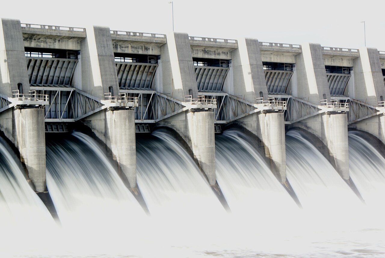
Fort Gibson Lake
At roughly 9,093 acres, Fort Gibson Lake is one of the lakes covered in Oklahoma. Its shoreline falls inside Wagoner County.…
Reservoir1 beach
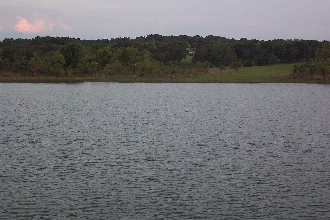
Lake Texoma
Lake Texoma is a 72,633-acre reservoir on the Red River in Texas. Its shoreline falls inside Marshall County. It is managed by…
97% fullReservoir
Explore around Oklahoma
Sources
Every figure on this page comes from one of these public sources.