
CountiesCherokee County
OklahomaReservoirCherokee County
Tenkiller Ferry Lake
Tenkiller Ferry Lake is a reservoir of some 12,900 acres on the Illinois River, in Oklahoma. Its shoreline falls inside Cherokee County. It is managed by USACE Tulsa District. This guide maps 1 named swimming spot around its shoreline.
Coordinates35.6581, -94.9919
Surface area12,900 acres
Max depth132 ft
RiverIllinois River
Managed byUSACE Tulsa District
Swimming beaches on Tenkiller Ferry Lake
1 named swimming spot and shoreline access points, from USGS GNIS, Recreation.gov and the Forest Service. None is staffed by a lifeguard unless the operating agency posts one.
Tenkiller Ferry Lake on the map
Lake center, swimming spots and access points.
Weather and water temperature
Air temperature and wind from Open-Meteo. Water temperature only when the lake has a public sensor.
Weather data by Open-Meteo
Planning a day at Tenkiller Ferry Lake
Its coordinates are 35.6581, -94.9919. Releases go downstream into the Illinois River. The surface sits around 632 feet above sea level. Maximum depth is around 132 feet.
Tenkiller Ferry Lake has no public water level gauge that we can read, so there is no level chart here. An invented number would be worse than none. For a lake this size, the park office is the fastest way to learn how the water sits today.
Nearby water includes Webbers Falls Reservoir (Oklahoma, 15 mi), Fort Gibson Lake (Oklahoma, 17 mi) and Robert S. Kerr Reservoir (Oklahoma, 23 mi). In all, 40 lakes in Oklahoma are covered here.
Around Tenkiller Ferry Lake this guide maps 1 named swimming spot, 9 public recreation areas and 4 boat ramps. Launch points include Blackgum Landing and Cato Creek Landing.. These come from Recreation.gov (RIDB). Tenkiller Ferry Lake are on the list. Recreation areas nearby include Burnt Cabin, Snake Creek and Chicken Creek. Fees and opening dates are set by each park, not by the agency that runs the water.
Inland lakes are not monitored the way ocean beaches are, so posted signs matter more here. Water temperature is not measured at this lake by any public agency we read. Swimming season in Oklahoma runs through the warm months, and day-use areas set their own opening dates.
Recreation areas on Tenkiller Ferry Lake
9 public recreation areas mapped around the lake by the U.S. Army Corps of Engineers. Facilities vary by area; check the managing office for opening dates and fees.
Burnt Cabin Snake Creek Chicken Creek Sixshooter Carlile Cove(Barnacale Bills) Cookson Bend Tenkiller State Park Carlile Cove Trout Stream
Source: USACE Recreation Areas
Boat ramps and access points
Public launch points recorded around the lake. Low water can close shallow ramps, so check the level before hauling a trailer.
| Name | Operated by | Distance | Source |
|---|---|---|---|
| Blackgum Landing | Local Government Agency | 1.3 mi | source |
| Cato Creek Landing | Corps Of Engineers | 1.6 mi | source |
| Sizemore Landing | Corps Of Engineers | 4.7 mi | source |
| Strayhorn Landing | Corps Of Engineers | 4.9 mi | source |
Ramp data: USACE Recreation Areas
Questions about Tenkiller Ferry Lake
Can you swim in Tenkiller Ferry Lake?
Yes. This guide maps 1 named swimming spot around the lake, including Tenkiller Ferry Lake. None is staffed by a lifeguard unless the operating agency posts one.
How big is Tenkiller Ferry Lake?
About 12,900 acres. Maximum depth is around 132 feet.
What other lakes are near Tenkiller Ferry Lake?
The closest in this guide is Webbers Falls Reservoir, about 15 miles away in Oklahoma.
Lakes near Tenkiller Ferry Lake
Other lakes in this guide, ordered by distance.
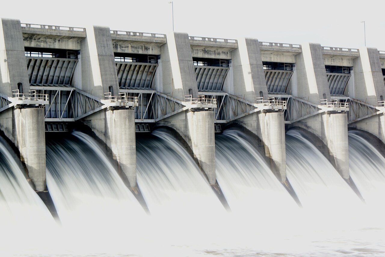
Fort Gibson Lake
At roughly 9,093 acres, Fort Gibson Lake is one of the lakes covered in Oklahoma. Its shoreline falls inside Wagoner County.…
Reservoir1 beach
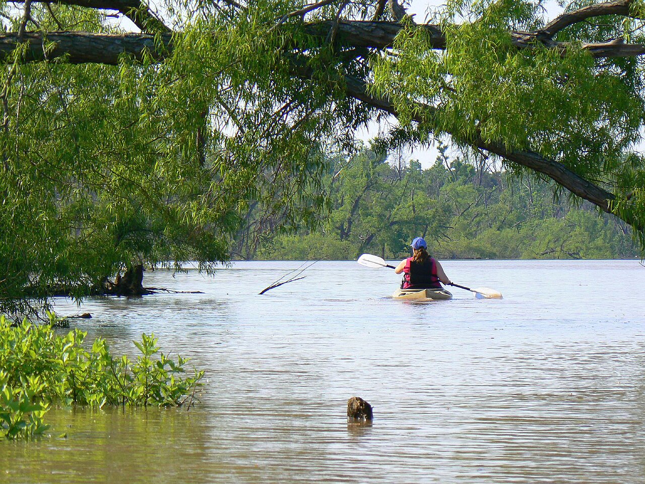
Lake Eufaula
At roughly 2,853 acres, Lake Eufaula is one of the lakes covered in Oklahoma. Its shoreline falls inside McIntosh County. It is…
Reservoir
Lake Hudson
Lake Hudson is a 12,000-acre reservoir in Oklahoma. The lake is in Mayes County. It is managed by Grand River Dam Authority…
Reservoir
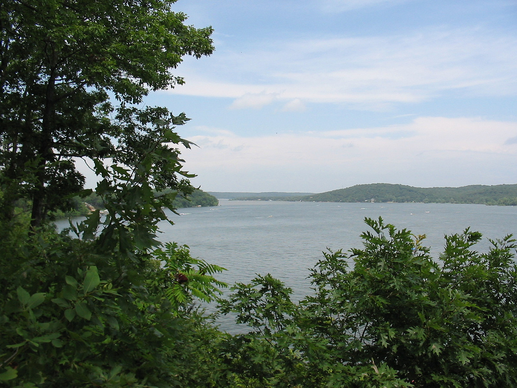
Grand Lake o' the Cherokees
Fed by the Neosho River, Grand Lake o' the Cherokees holds roughly 46,456 acres of water in Oklahoma. Its shoreline falls inside…
Reservoir
Oologah Lake
Oologah Lake covers about 29,000 acres of the Verdigris River in Oklahoma. You will find it in Rogers County. It is managed by…
Reservoir
Beaver Lake
At roughly 28,200 acres, Beaver Lake is one of the lakes covered in Arkansas. The lake is in Washington County. Management is in…
Reservoir
Explore around Oklahoma
All lakes in Oklahoma Swimming spots in Oklahoma Lakes near Tahlequah Lakes near Muskogee
Sources
Every figure on this page comes from one of these public sources.