
CountiesWagoner County
OklahomaReservoirWagoner County
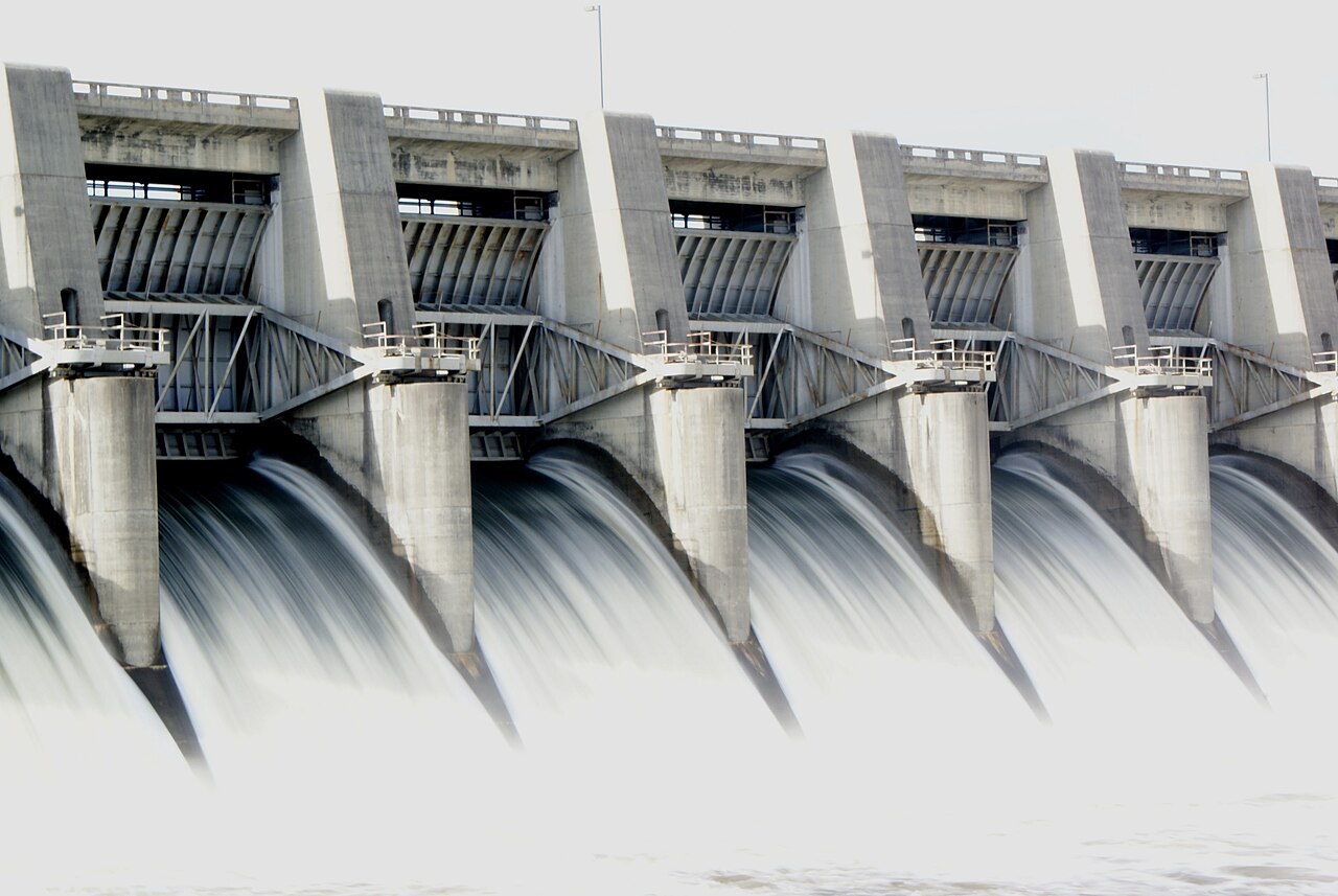
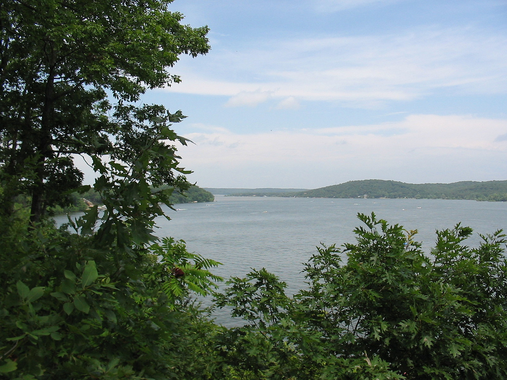
Fort Gibson Lake
At roughly 9,093 acres, Fort Gibson Lake is one of the lakes covered in Oklahoma. Its shoreline falls inside Wagoner County. Management is in the hands of USACE Tulsa District. This guide maps 1 named swimming spot around its shoreline.
Coordinates35.7947, -95.2531
Surface area9,093 acres
Completed1824
Managed byUSACE Tulsa District
Swimming beaches on Fort Gibson Lake
1 named swimming spot and shoreline access points, from USGS GNIS, Recreation.gov and the Forest Service. None is staffed by a lifeguard unless the operating agency posts one.
Fort Gibson Lake on the map
Lake center, swimming spots and access points.
Weather and water temperature
Air temperature and wind from Open-Meteo. Water temperature only when the lake has a public sensor.
Weather data by Open-Meteo
A closer look at Fort Gibson Lake
On the map, Fort Gibson Lake is centered near 35.7947, -95.2531. The reservoir dates from 1824. Surface elevation is about 564 feet.
Fort Gibson Lake has no public water level gauge that we can read, so there is no level chart here. An invented number would be worse than none. For a lake this size, the park office is the fastest way to learn how the water sits today.
No public sensor reports water temperature at Fort Gibson Lake, so the panel shows air temperature and wind. If the water looks like pea soup or paint, stay out and report it to the managing agency. Season dates vary by park; the operating agency publishes them each spring.
If Fort Gibson Lake is busy, the nearest alternatives here are Webbers Falls Reservoir (Oklahoma, 14 mi), Tenkiller Ferry Lake (Oklahoma, 17 mi) and Lake Hudson (Oklahoma, 31 mi). Oklahoma has 40 lakes on this site in total.
Around Fort Gibson Lake this guide maps 1 named swimming spot and 11 public recreation areas. Recreation areas nearby include Fort Gibson Park, Three Forks and Canyon Road. Among them are Sequoyah State Park. These come from Recreation.gov (RIDB). Assume no lifeguard is on duty and keep children within reach.
Recreation areas on Fort Gibson Lake
11 public recreation areas mapped around the lake by the U.S. Army Corps of Engineers. Facilities vary by area; check the managing office for opening dates and fees.
Fort Gibson Park Three Forks Canyon Road Mallard Bay Wahoo Bay Hopewell Park Sequoyah Bay Jackson Bay Wildwood Pecan Park Taylor Ferry
Source: USACE Recreation Areas
Questions about Fort Gibson Lake
Can you swim in Fort Gibson Lake?
Yes. This guide maps 1 named swimming spot around the lake, including Sequoyah State Park. None is staffed by a lifeguard unless the operating agency posts one.
How big is Fort Gibson Lake?
About 9,093 acres.
What other lakes are near Fort Gibson Lake?
The closest in this guide is Webbers Falls Reservoir, about 14 miles away in Oklahoma.
Lakes near Fort Gibson Lake
Other lakes in this guide, ordered by distance.
Tenkiller Ferry Lake
Tenkiller Ferry Lake is a reservoir of some 12,900 acres on the Illinois River, in Oklahoma. Its shoreline falls inside Cherokee…
Reservoir1 beach
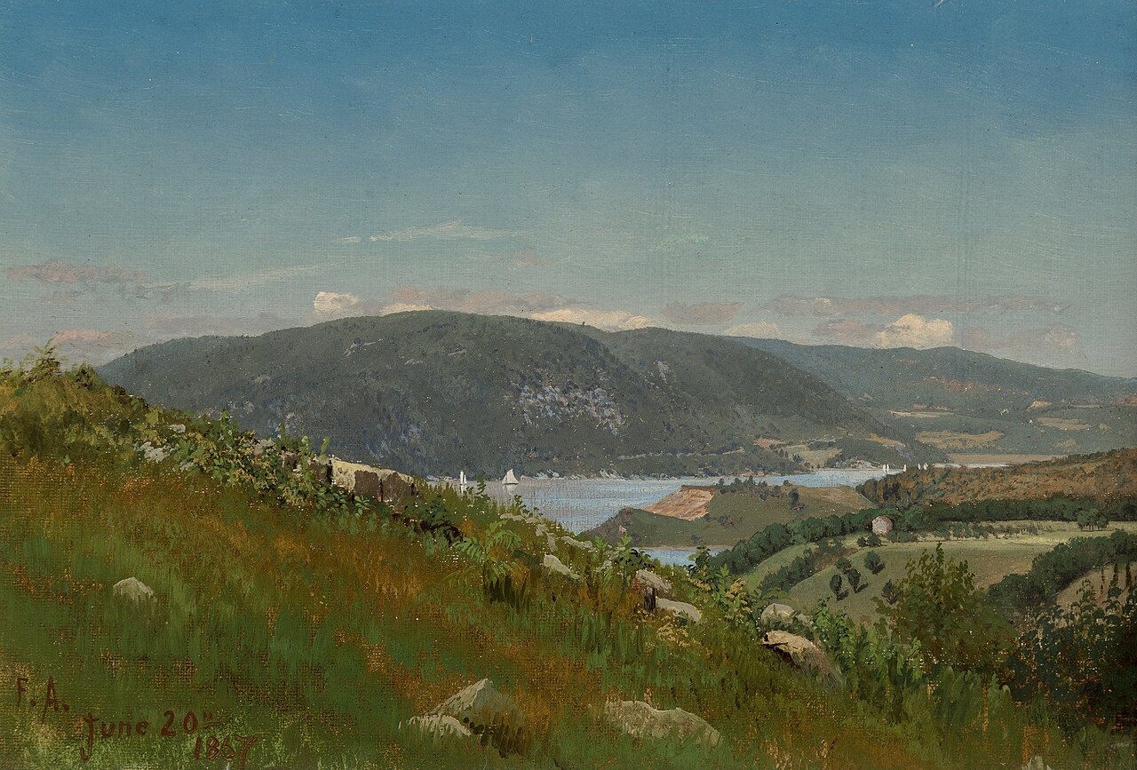
Lake Hudson
Lake Hudson is a 12,000-acre reservoir in Oklahoma. The lake is in Mayes County. It is managed by Grand River Dam Authority…
Reservoir
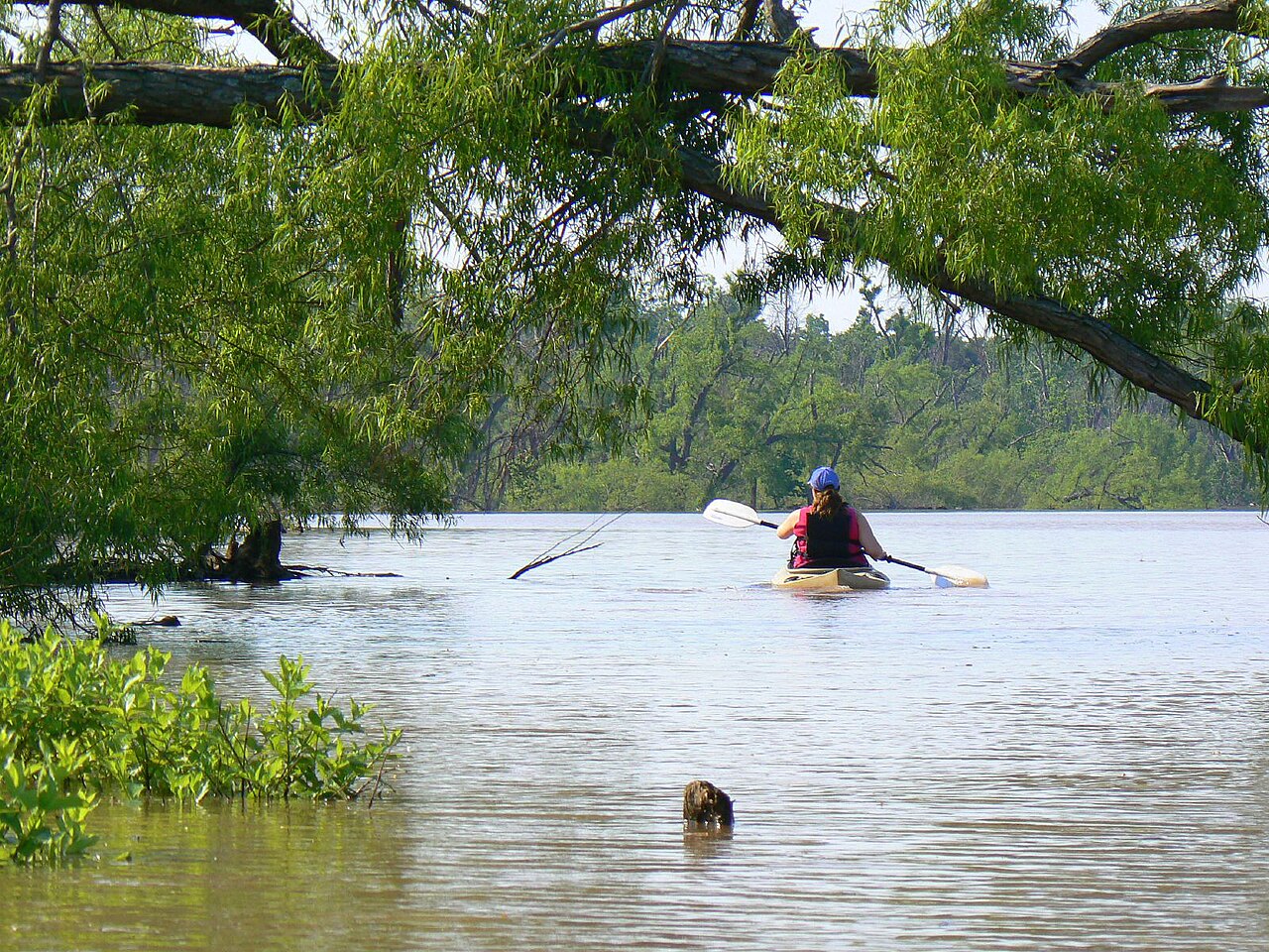
Lake Eufaula
At roughly 2,853 acres, Lake Eufaula is one of the lakes covered in Oklahoma. Its shoreline falls inside McIntosh County. It is…
Reservoir
Oologah Lake
Oologah Lake covers about 29,000 acres of the Verdigris River in Oklahoma. You will find it in Rogers County. It is managed by…
Reservoir
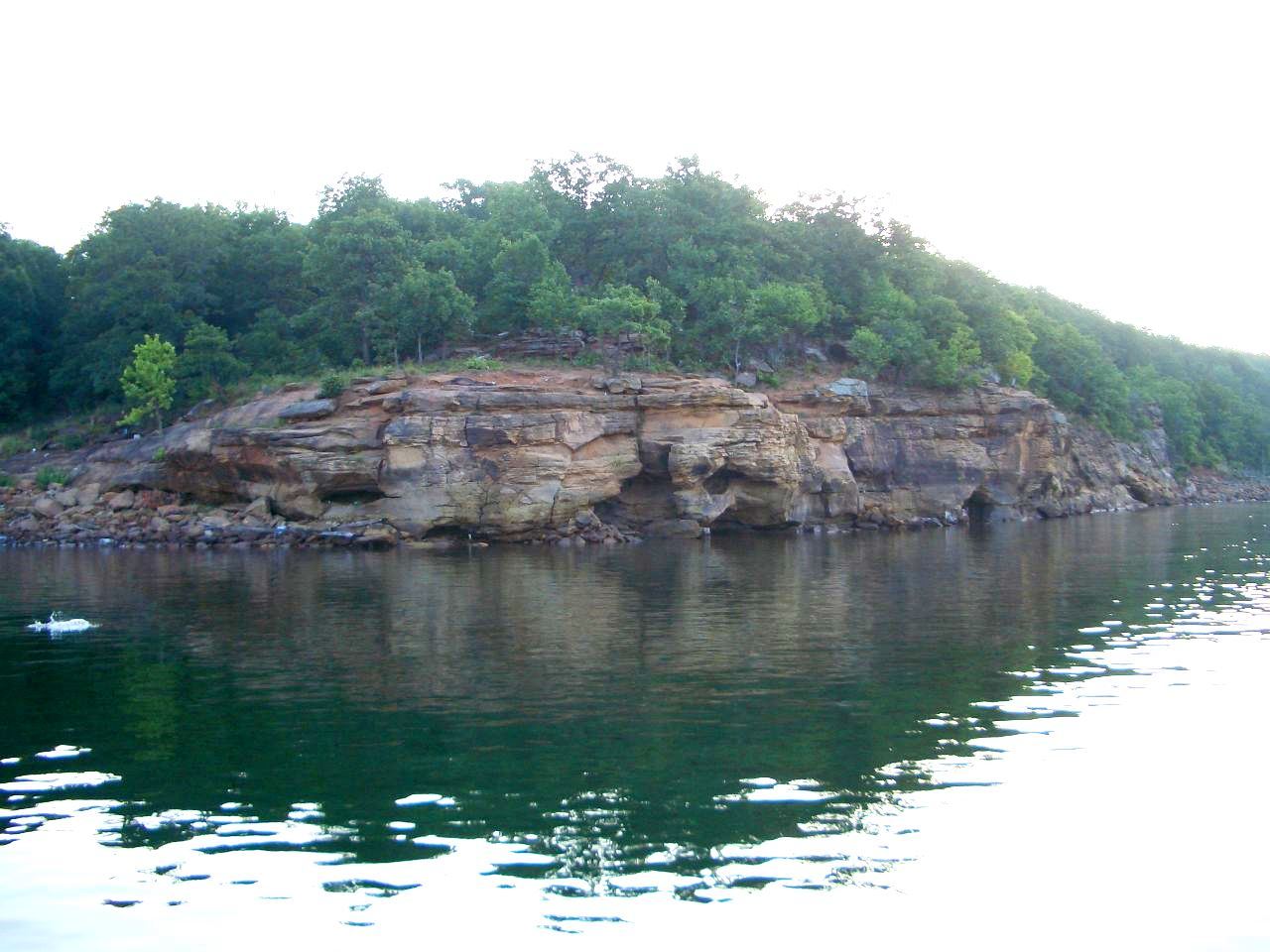
Skiatook Lake
Skiatook Lake is a 10,500-acre reservoir on the Hominy Creek in Oklahoma. The lake is in Osage County. It is managed by USACE…
Reservoir
Grand Lake o' the Cherokees
Fed by the Neosho River, Grand Lake o' the Cherokees holds roughly 46,456 acres of water in Oklahoma. Its shoreline falls inside…
Reservoir
Explore around Oklahoma
All lakes in Oklahoma Swimming spots in Oklahoma Lakes near Muskogee Lakes near Tahlequah
Sources
Every figure on this page comes from one of these public sources.