
CountiesMarshall County
TexasReservoirMarshall County
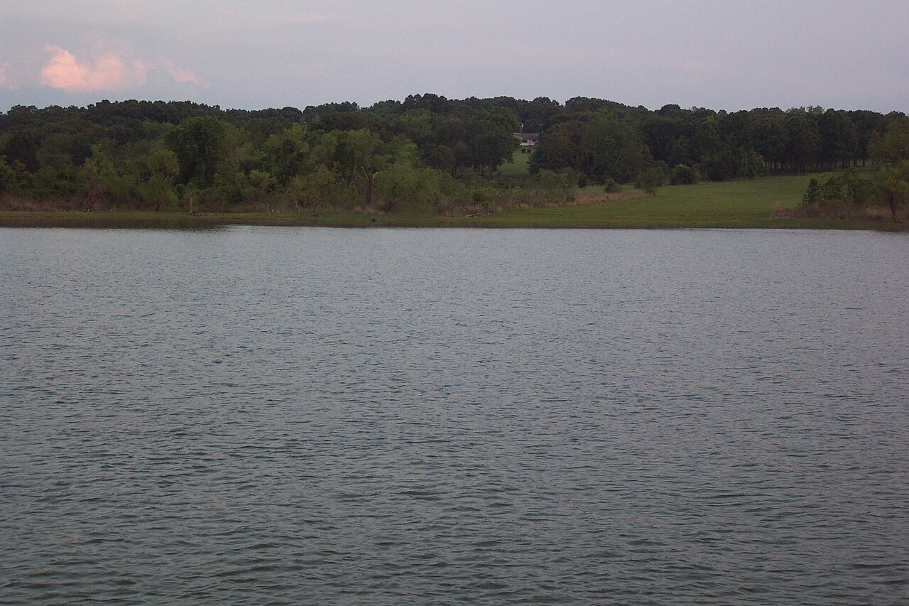
Lake Texoma
Lake Texoma is a 72,633-acre reservoir on the Red River in Texas. Its shoreline falls inside Marshall County. It is managed by USACE Tulsa District. The latest reading is 615.61 ft, 1.4 ft below the 617.0 ft full pool.
Coordinates33.8319, -96.5711
Surface area72,633 acres
Full pool617.0 ft
Capacity1,243,801 acre-ft
RiverRed River
Completed1944
Managed byUSACE Tulsa District
Swimming beaches on Lake Texoma
No named swimming beach is mapped yet for this lake. Access is through agency day-use areas and boat ramps listed below. We add beach pages only when we can confirm a name, coordinates and an operating agency.
Lake Texoma on the map
Lake center, swimming spots and access points.
Weather and water temperature
Air temperature and wind from Open-Meteo. Water temperature only when the lake has a public sensor.
Weather data by Open-Meteo
Lake Texoma at a glance
On the map, Lake Texoma is centered near 33.8319, -96.5711. It was completed in 1944. Surface elevation is about 617 feet. Water leaves through the Red River.
The closest lakes in this guide are Lake Bonham (Texas, 27 mi), Lake Ray Roberts (Texas, 42 mi) and Lake of the Arbuckles (Oklahoma, 49 mi). In all, 118 lakes in Texas are covered here.
Water temperature is not measured at this lake by any public agency we read. Most Texas day-use areas open for the summer season and close outside it. Algae blooms are seasonal and local: look for posted signs at the ramp or park entrance.
Readings come from station 07331455 (Lake Texoma at Cumberland Cut nr Cumberland, OK). The Corps of Engineers puts the top of the flood pool at 640.0 ft. The top of the dam sits at 670.0 ft. Conservation capacity is 1,243,801 acre-feet. The last value stored here, 615.61 ft, is from 2026-09-09. That put the reservoir at 97% of its conservation capacity. Over the record shown on the level page the gauge has moved between 615.62 ft and 621.14 ft (low on 2026-09-09, high on 2026-04-05). The conservation pool tops out at 617.0 ft. When the pool drops, shoreline beaches grow and shallow ramps can run out of concrete.
The shoreline of Lake Texoma has 20 public recreation areas in the datasets we read. Recreation areas nearby include Burns Run East, Burns Run West and Eisenhower State Park. Parking is the usual limit on busy summer weekends.
Recreation areas on Lake Texoma
20 public recreation areas mapped around the lake by the U.S. Army Corps of Engineers. Facilities vary by area; check the managing office for opening dates and fees.
Burns Run East Burns Run West Eisenhower State Park Preston Bend Recreation Area Preston Bend Resort - Little Mineral Platter Flats Roads End Lakeside Caney Creek Mill Creek Resort Johnson Creek Paradise Cove Resort Hagerman Wildlife Refuge Big Mineral Camp Juniper Point Buncombe Creek Cedar Bayou Rock Creek Camp
Source: USACE Recreation Areas
Questions about Lake Texoma
What is the current water level at Lake Texoma?
The latest reading is 615.61 ft, 1.4 ft below the 617.0 ft full pool, from USGS gauge 07331455.
How full is Lake Texoma?
It was last reported at 97% of conservation capacity, holding 1,202,621 of 1,243,801 acre-feet.
What is full pool at Lake Texoma?
Full pool is 617.0 ft. Water above that level is flood storage and is released as conditions allow.
Is there a beach at Lake Texoma?
No named swimming beach appears in the federal and state datasets this guide reads. Check the operating agency for day-use areas on the ground.
How big is Lake Texoma?
About 72,633 acres.
What other lakes are near Lake Texoma?
The closest in this guide is Lake Bonham, about 27 miles away in Texas.
Lakes near Lake Texoma
Other lakes in this guide, ordered by distance.
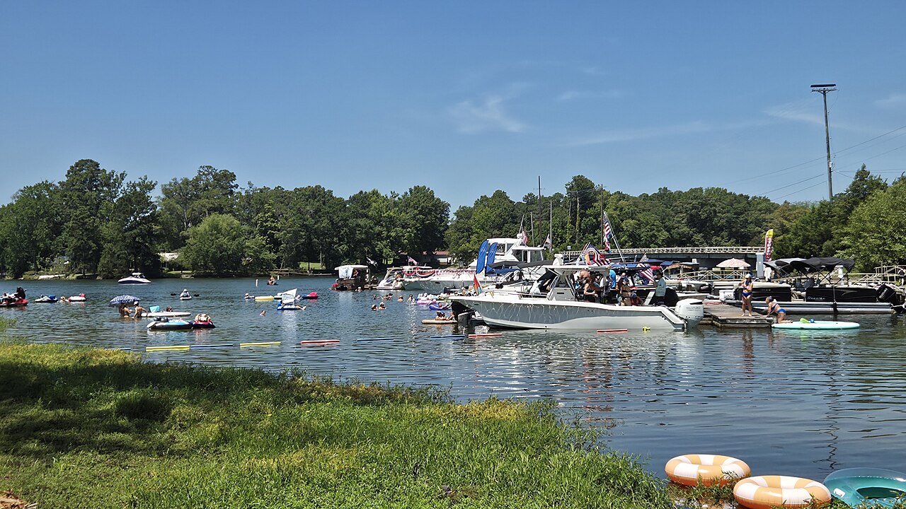
Lake Murray
Lake Murray covers about 50,000 acres west of Columbia, South Carolina, with roughly 650 miles of shoreline. It was impounded in…
Reservoir
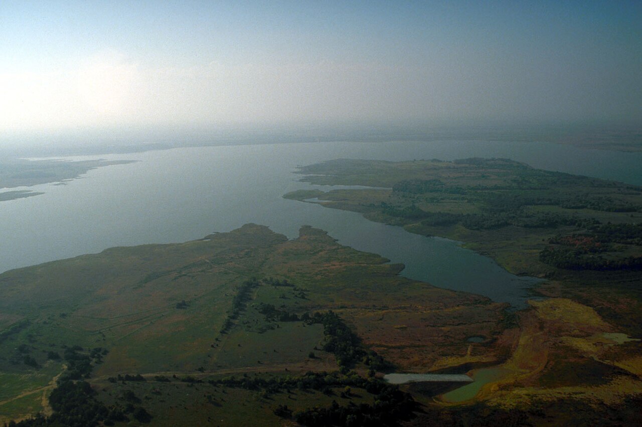
Lake Ray Roberts
Lake Ray Roberts is a 27,535-acre reservoir on the Elm Fork Trinity River in Texas. It lies in Denton County. Management is in…
95% fullReservoir
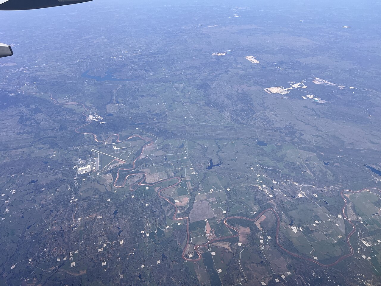
Lake of the Arbuckles
Fed by the Rock Creek, Lake of the Arbuckles holds roughly 3,127 acres of water in Oklahoma. Its shoreline falls inside Murray…
Reservoir1 beach
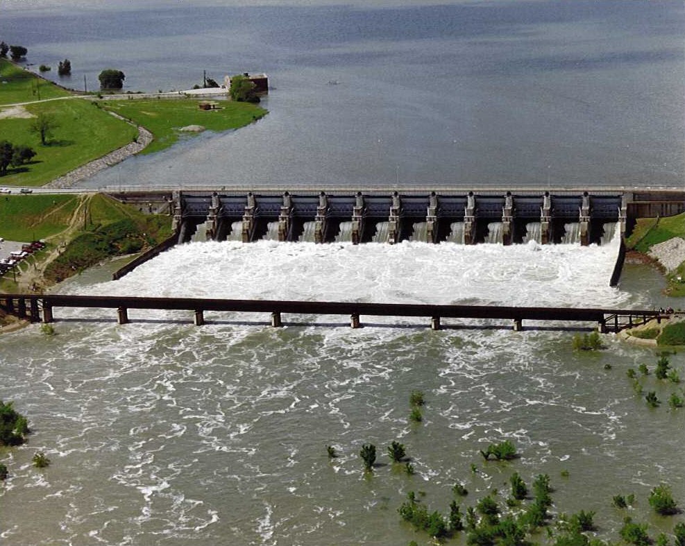
Lavon Lake
Lavon Lake is a reservoir of some 19,236 acres on the catchment_sqmi =, in Texas. Its shoreline falls inside Collin County. It is…
84% fullReservoir
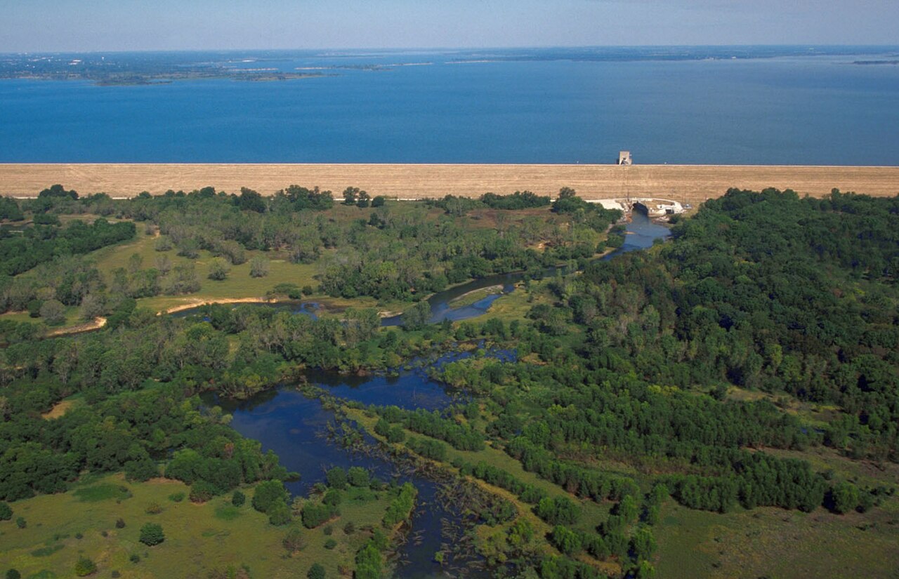
Lewisville Lake
Lewisville Lake is a 25,251-acre reservoir on the catchment = in Texas. Its shoreline falls inside Denton County. Management is…
87% fullReservoir
Grapevine Lake
Grapevine Lake is a 6,202-acre reservoir on the Denton Creek in Texas. It lies in Denton County. It is managed by USACE Fort…
93% fullReservoir
Explore around Texas
All lakes in Texas Swimming spots in Texas Lakes near Sherman Lakes near Anna
Sources
Every figure on this page comes from one of these public sources.