
CountiesSierra County
New MexicoReservoirSierra County
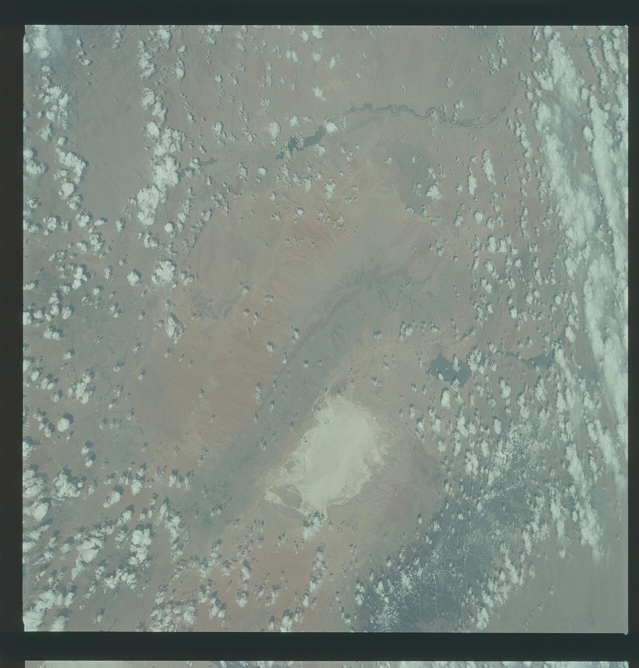
Elephant Butte Reservoir
Fed by the Rio Grande, Elephant Butte Reservoir holds roughly 36,500 acres of water in New Mexico. You will find it in Sierra County. Management is in the hands of NM EMNRD State Parks Division. This guide maps 1 named swimming spot around its shoreline.
Coordinates33.1540, -107.1921
Surface area36,500 acres
RiverRio Grande
Managed byNM EMNRD State Parks Division
Swimming beaches on Elephant Butte Reservoir
1 named swimming spot and shoreline access points, from USGS GNIS, Recreation.gov and the Forest Service. None is staffed by a lifeguard unless the operating agency posts one.
Elephant Butte Reservoir on the map
Lake center, swimming spots and access points.
Weather and water temperature
Air temperature and wind from Open-Meteo. Water temperature only when the lake has a public sensor.
Weather data by Open-Meteo
Elephant Butte Reservoir: beaches, ramps and water level
Elephant Butte Reservoir sits at 33.1540, -107.1921. Outflow feeds the Rio Grande. Surface elevation is about 4,414 feet.
Public access at Elephant Butte Reservoir covers 1 named swimming spot. These come from USGS GNIS. Lions Beach are on the list. None is staffed by a lifeguard unless the managing agency posts one.
Swimming season in New Mexico runs through the warm months, and day-use areas set their own opening dates. Water temperature is not measured at this lake by any public agency we read. Freshwater advisories are issued locally, so check the state health department before you swim.
Local marinas and park offices usually know the current state of the water better than any feed. Water level is missing from this page on purpose: no public feed covers Elephant Butte Reservoir.
The closest lakes in this guide are Caballo Lake (New Mexico, 17 mi), Lyman Lake (Arizona, 151 mi) and Bluewater Lake (New Mexico, 157 mi). New Mexico has 16 lakes on this site in total.
Questions about Elephant Butte Reservoir
Can you swim in Elephant Butte Reservoir?
Yes. This guide maps 1 named swimming spot around the lake, including Lions Beach. None is staffed by a lifeguard unless the operating agency posts one.
How big is Elephant Butte Reservoir?
About 36,500 acres.
What other lakes are near Elephant Butte Reservoir?
The closest in this guide is Caballo Lake, about 17 miles away in New Mexico.
Lakes near Elephant Butte Reservoir
Other lakes in this guide, ordered by distance.
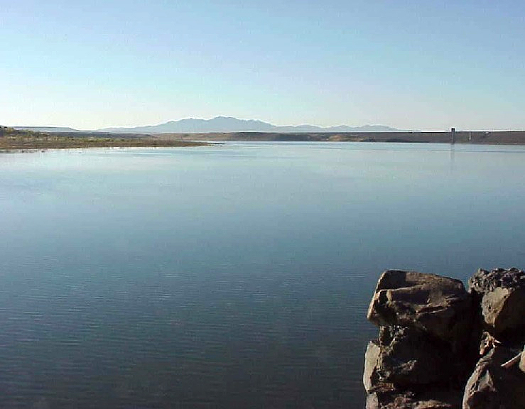
Cochiti Lake
At roughly 1,200 acres, Cochiti Lake is one of the lakes covered in New Mexico. The lake is in Sandoval County. Management is in…
Reservoir
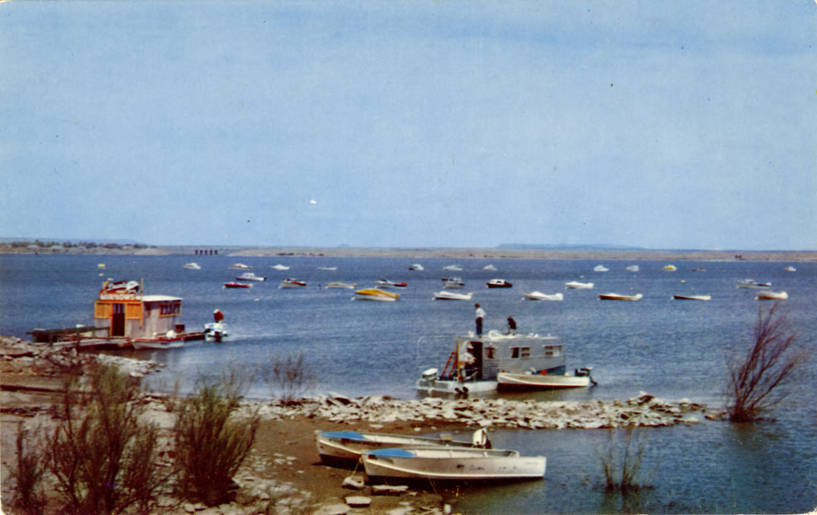
Conchas Lake
Fed by the outflow =, Conchas Lake holds roughly 9,727 acres of water in New Mexico. The lake is in San Miguel County. It is…
Reservoir
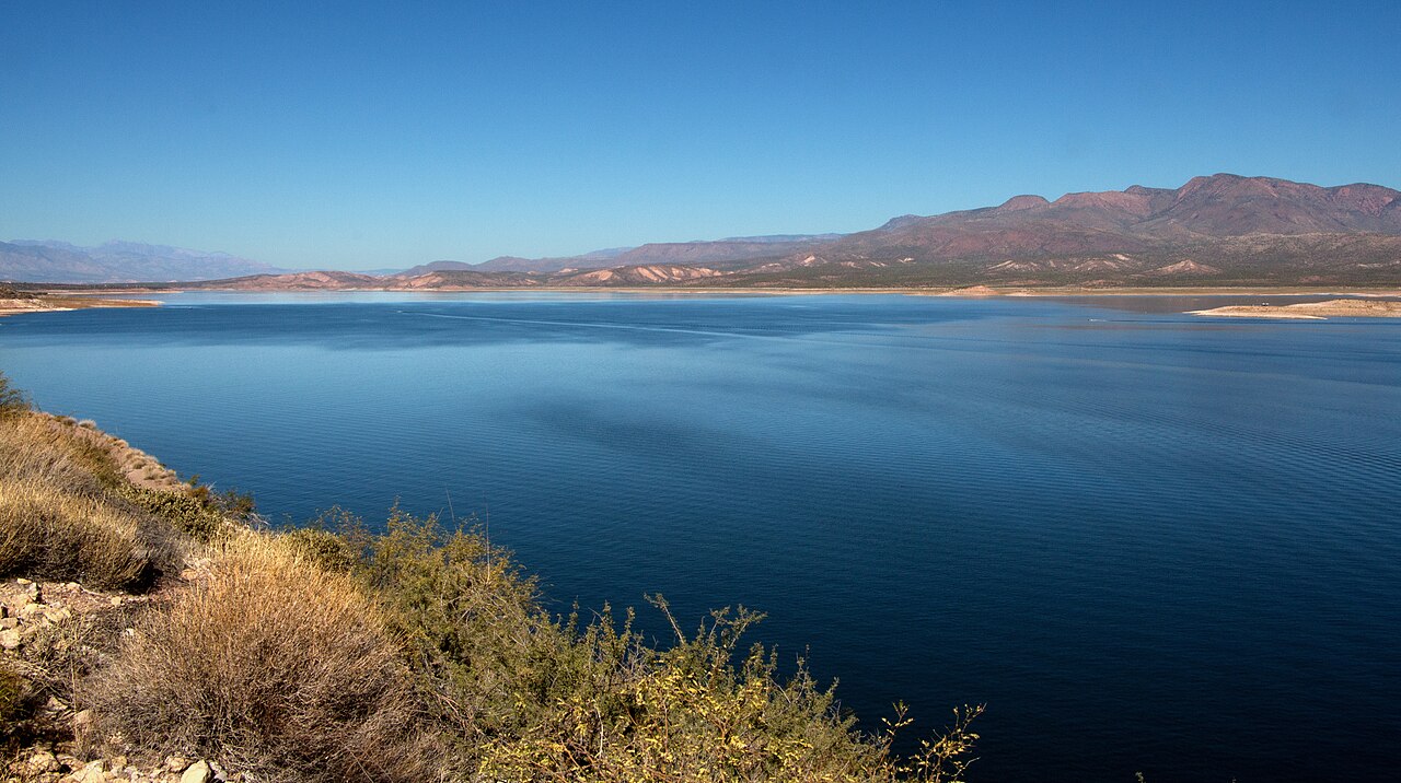
Theodore Roosevelt Lake
Theodore Roosevelt Lake is a reservoir of some 21,493 acres on the Salt River, in Arizona. The lake is in Gila County. Management…
Reservoir
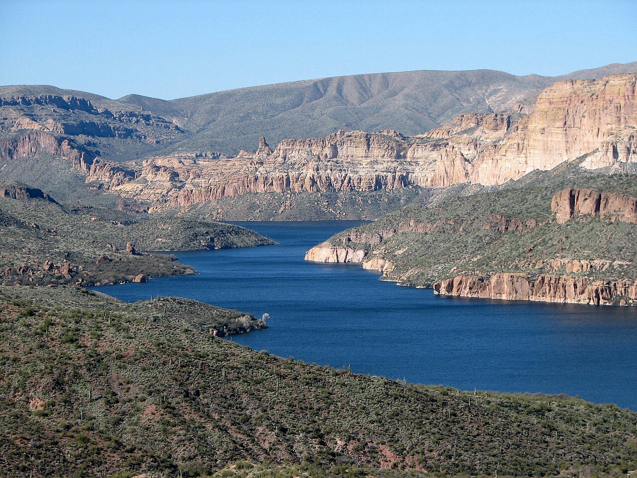
Apache Lake
Apache Lake covers about 2,568 acres of the Salt River in Arizona. You will find it in Maricopa County. It is managed by USDA…
Reservoir
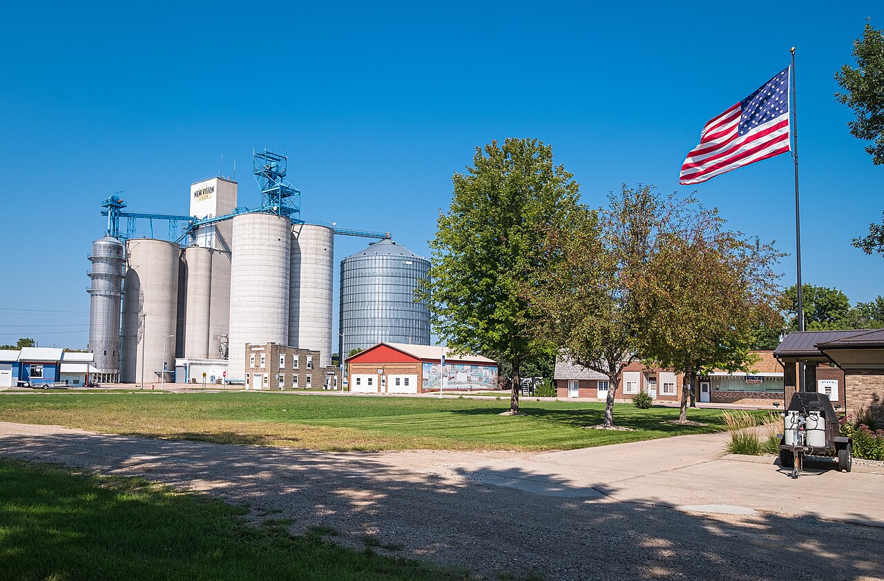
Heron Lake
Heron Lake covers about 5,900 acres of the Willow Creek in New Mexico. It lies in Rio Arriba County. Management is in the hands…
Reservoir
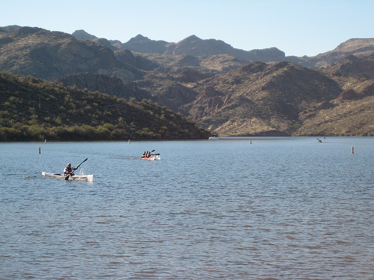
Saguaro Lake
Saguaro Lake covers about 1,264 acres of the Salt River in Arizona. Its shoreline falls inside Maricopa County. Management is in…
Reservoir
Explore around New Mexico
Sources
Every figure on this page comes from one of these public sources.