
CountiesMaricopa County
ArizonaReservoirMaricopa County
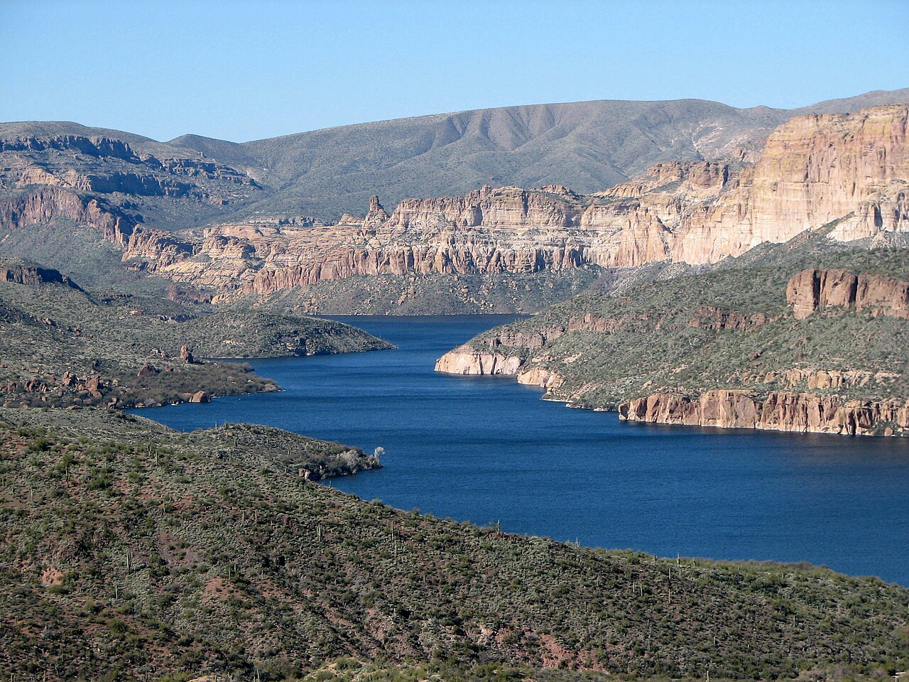
Apache Lake
Apache Lake covers about 2,568 acres of the Salt River in Arizona. You will find it in Maricopa County. It is managed by USDA Forest Service / SRP.
Coordinates33.5786, -111.2630
Surface area2,568 acres
RiverSalt River
Managed byUSDA Forest Service / SRP
Swimming beaches on Apache Lake
No named swimming beach is mapped yet for this lake. Access is through agency day-use areas and boat ramps listed below. We add beach pages only when we can confirm a name, coordinates and an operating agency.
Apache Lake on the map
Lake center, swimming spots and access points.
Weather and water temperature
Air temperature and wind from Open-Meteo. Water temperature only when the lake has a public sensor.
Weather data by Open-Meteo
Planning a day at Apache Lake
On the map, Apache Lake is centered near 33.5786, -111.2630. Outflow feeds the Salt River. The surface sits around 1,900 feet above sea level.
There is no beach on record at Apache Lake in the datasets this guide reads. Many smaller lakes have no designated beach at all, only informal shoreline access.
The closest lakes in this guide are Theodore Roosevelt Lake (Arizona, 9 mi), Canyon Lake (Arizona, 10 mi) and Saguaro Lake (Arizona, 15 mi). In all, 14 lakes in Arizona are covered here.
Most Arizona day-use areas open for the summer season and close outside it. Check the operating agency for advisories before any water contact, especially for blue-green algae in late summer. No public sensor reports water temperature at Apache Lake, so the panel shows air temperature and wind.
We check the public feeds daily, so this page will fill in if one appears. There is no live level reading for Apache Lake. The agencies that run this water do not publish one openly, and we do not estimate what has not been measured.
Questions about Apache Lake
Is there a beach at Apache Lake?
No named swimming beach appears in the federal and state datasets this guide reads. Check the operating agency for day-use areas on the ground.
How big is Apache Lake?
About 2,568 acres.
What other lakes are near Apache Lake?
The closest in this guide is Theodore Roosevelt Lake, about 9 miles away in Arizona.
Lakes near Apache Lake
Other lakes in this guide, ordered by distance.
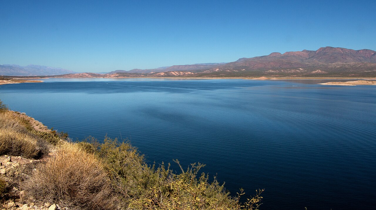
Theodore Roosevelt Lake
Theodore Roosevelt Lake is a reservoir of some 21,493 acres on the Salt River, in Arizona. The lake is in Gila County. Management…
Reservoir
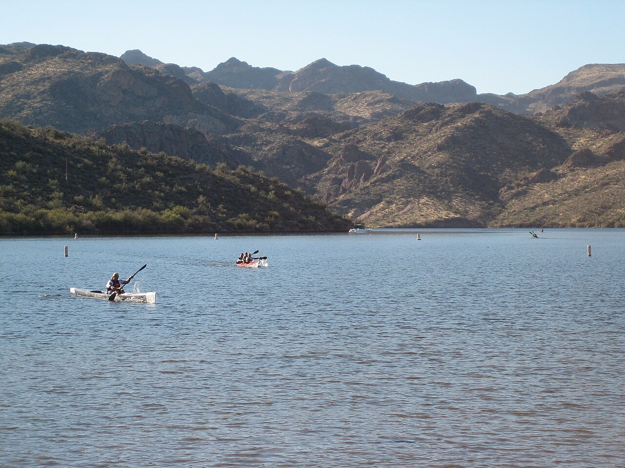
Saguaro Lake
Saguaro Lake covers about 1,264 acres of the Salt River in Arizona. Its shoreline falls inside Maricopa County. Management is in…
Reservoir
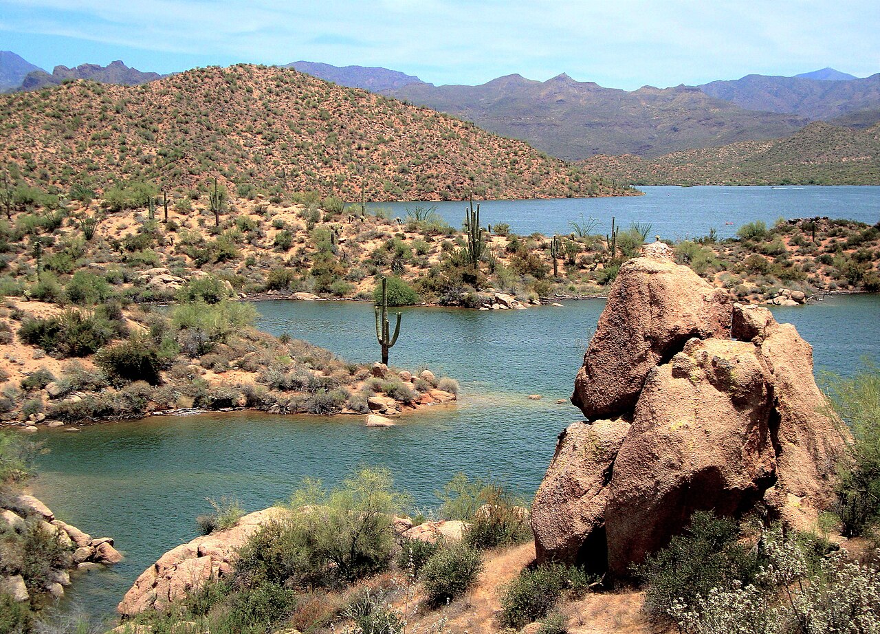
Bartlett Lake
Bartlett Lake covers about 2,815 acres of the Verde River in Arizona. It lies in Maricopa County. Management is in the hands of…
Reservoir
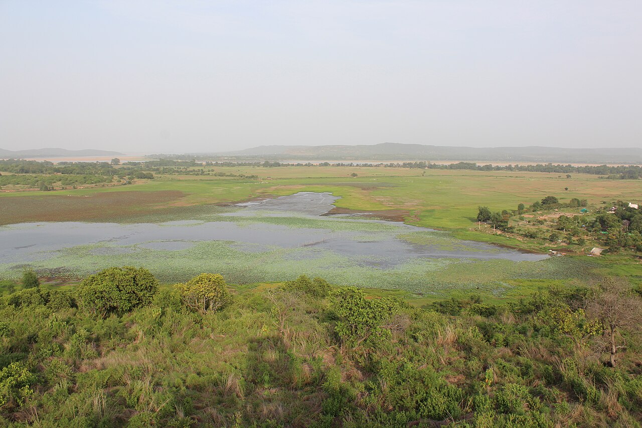
Horseshoe Lake
Horseshoe Lake covers about 790 acres of the Verde River in Arizona. It lies in Yavapai County. It is managed by USDA Forest…
Reservoir
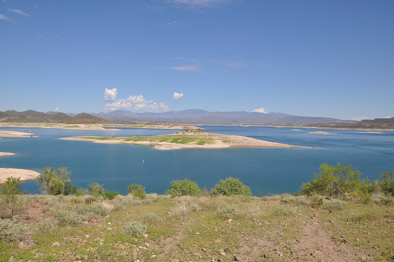
Lake Pleasant
At roughly 9,970 acres, Lake Pleasant is one of the lakes covered in Arizona. Its shoreline falls inside Yavapai County. Bureau…
Reservoir
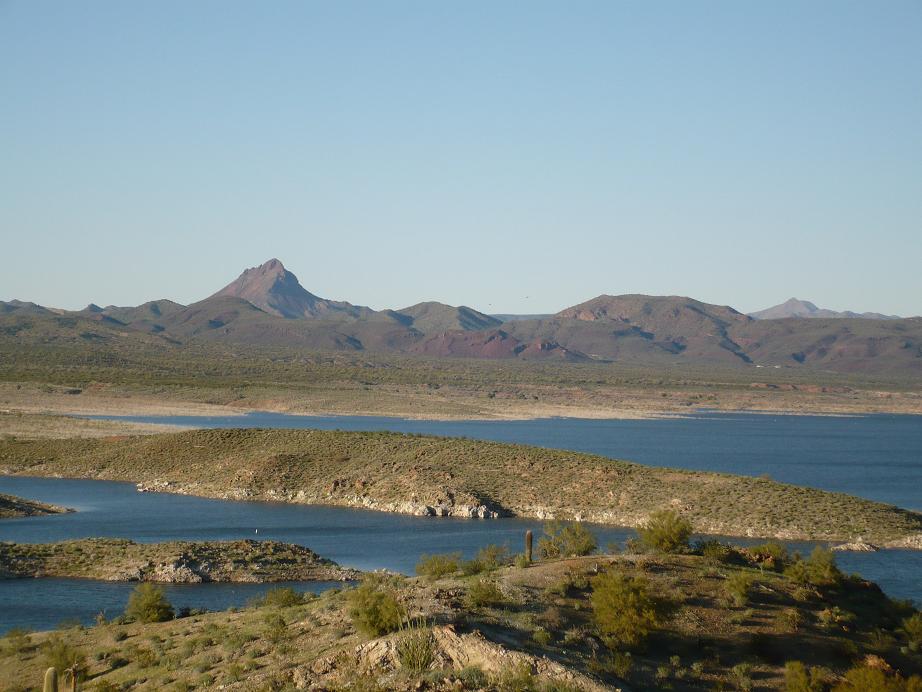
Alamo Lake
At roughly 3,665 acres, Alamo Lake is one of the lakes covered in Arizona. It lies in La Paz County. Arizona State Parks & Trails…
Reservoir
Explore around Arizona
All lakes in Arizona Lakes near Apache Junction Lakes near Mesa
Sources
Every figure on this page comes from one of these public sources.