
CountiesSandoval County
New MexicoReservoirSandoval County
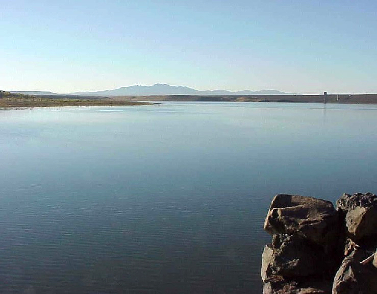
Cochiti Lake
At roughly 1,200 acres, Cochiti Lake is one of the lakes covered in New Mexico. The lake is in Sandoval County. Management is in the hands of USACE Albuquerque District. The latest reading is 44.19 ft, 5,301.3 ft below the 5,345.5 ft full pool.
Coordinates35.6333, -106.3167
Surface area1,200 acres
Full pool5,345.5 ft
Managed byUSACE Albuquerque District
Swimming beaches on Cochiti Lake
No named swimming beach is mapped yet for this lake. Access is through agency day-use areas and boat ramps listed below. We add beach pages only when we can confirm a name, coordinates and an operating agency.
Cochiti Lake on the map
Lake center, swimming spots and access points.
Weather and water temperature
Air temperature and wind from Open-Meteo. Water temperature only when the lake has a public sensor.
Weather data by Open-Meteo
Swimming at Cochiti Lake
No agency lists a named swimming spot at Cochiti Lake. Shoreline access here is likely informal. Shoreline access on lakes like this one is often informal and unsigned.
The level comes from gauge 08317300, COCHITI LAKE NEAR COCHITI PUEBLO, NM, and carries the time it was taken. Full pool is 5,345.5 ft. The top of the dam sits at 5,479.0 ft. The last value stored here, 44.19 ft, is from 2026-09-09. The Corps of Engineers puts the top of the flood pool at 5,460.5 ft. A falling pool widens the beaches and shortens the ramps, so it is worth checking before you drive out.
No public sensor reports water temperature at Cochiti Lake, so the panel shows air temperature and wind. Freshwater advisories are issued locally, so check the state health department before you swim. Swimming season in New Mexico runs through the warm months, and day-use areas set their own opening dates.
Nearby water includes Abiquiu Lake (New Mexico, 42 mi), El Vado Lake (New Mexico, 71 mi) and Heron Lake (New Mexico, 76 mi). New Mexico has 16 lakes on this site in total.
Questions about Cochiti Lake
What is the current water level at Cochiti Lake?
The latest reading is 44.19 ft, 5,301.3 ft below the 5,345.5 ft full pool, from USGS gauge 08317300.
What is full pool at Cochiti Lake?
Full pool is 5,345.5 ft. Water above that level is flood storage and is released as conditions allow.
Is there a beach at Cochiti Lake?
No named swimming beach appears in the federal and state datasets this guide reads. Check the operating agency for day-use areas on the ground.
How big is Cochiti Lake?
About 1,200 acres.
What other lakes are near Cochiti Lake?
The closest in this guide is Abiquiu Lake, about 42 miles away in New Mexico.
Lakes near Cochiti Lake
Other lakes in this guide, ordered by distance.
Heron Lake
Heron Lake covers about 5,900 acres of the Willow Creek in New Mexico. It lies in Rio Arriba County. Management is in the hands…
Reservoir
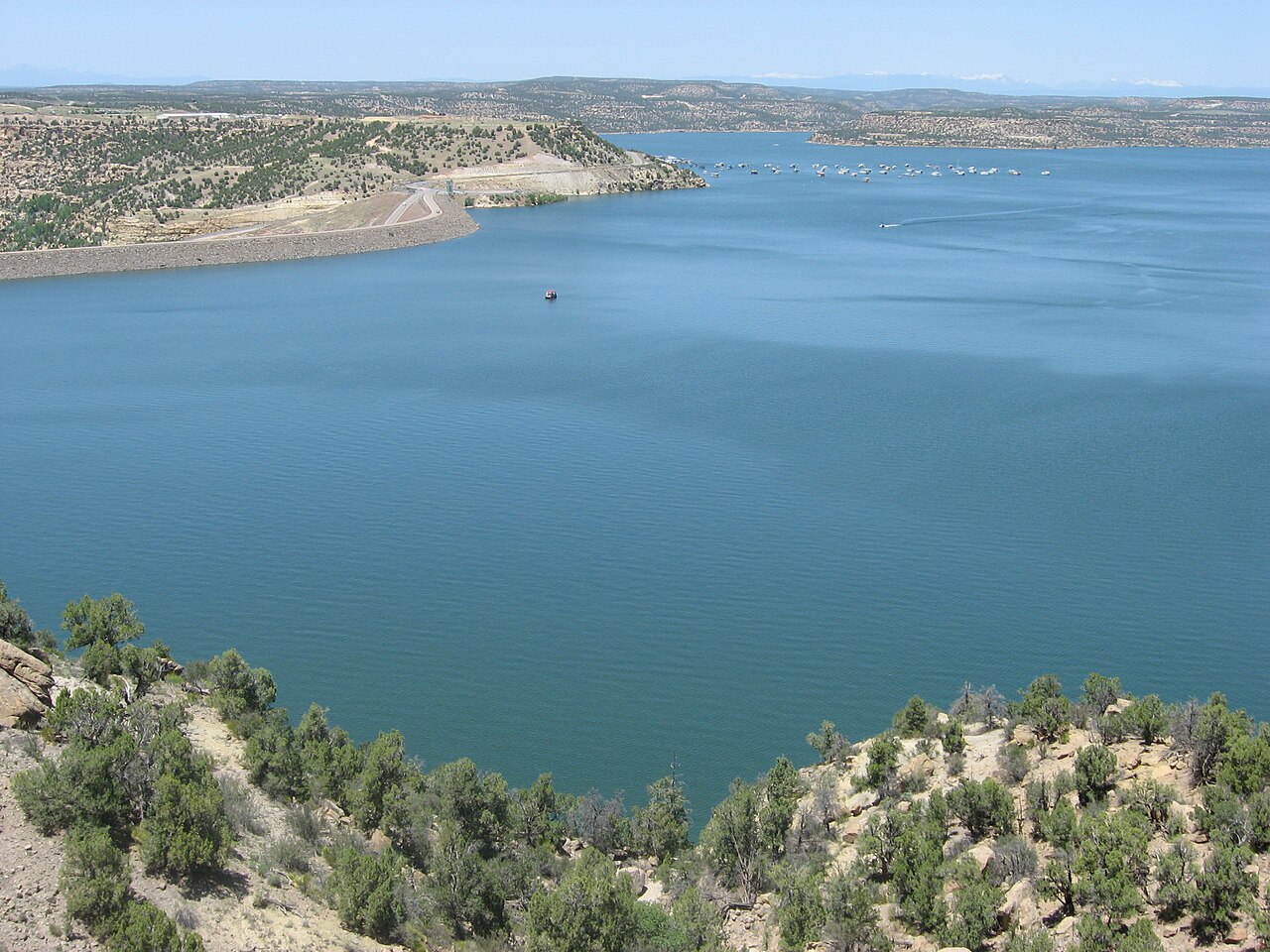
Navajo Reservoir
Fed by the San Juan River, Navajo Reservoir holds roughly 15,600 acres of water in New Mexico. The lake is in Archuleta County.…
Reservoir
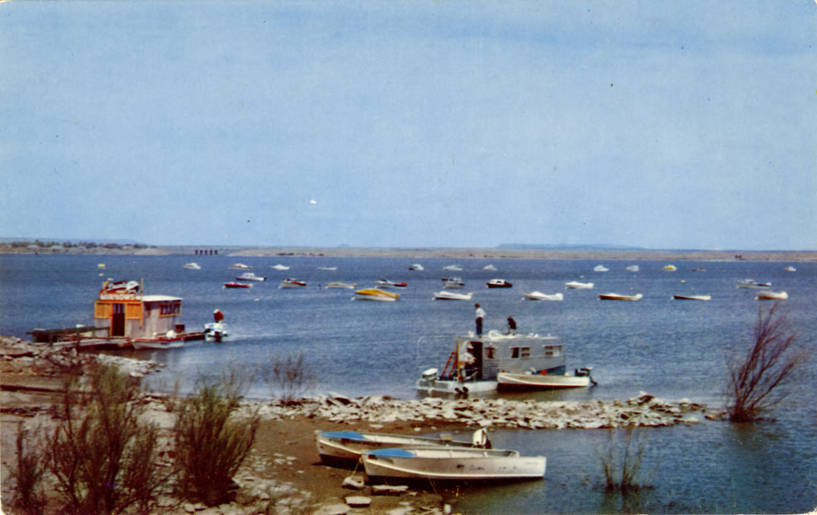
Conchas Lake
Fed by the outflow =, Conchas Lake holds roughly 9,727 acres of water in New Mexico. The lake is in San Miguel County. It is…
Reservoir
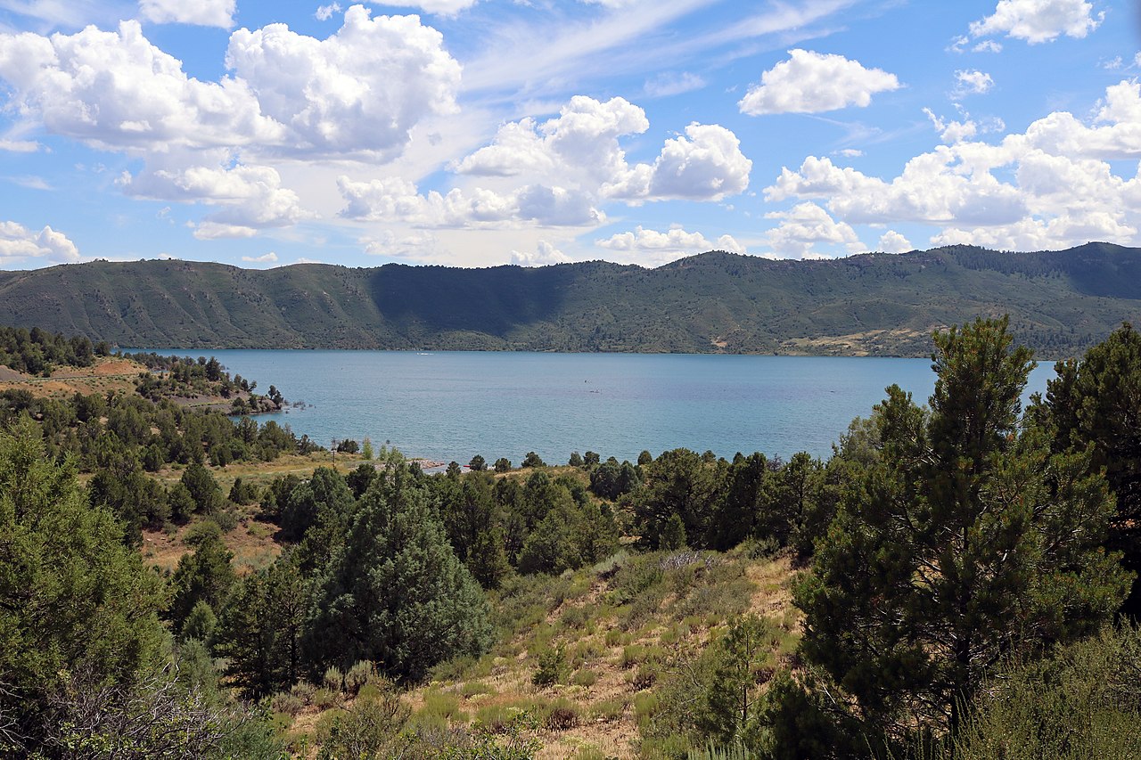
Lake Nighthorse
Lake Nighthorse is a reservoir of some 1,490 acres on the Basin Creek (Outflow returns to the Animas River), in Colorado. City of…
Reservoir
Elephant Butte Reservoir
Fed by the Rio Grande, Elephant Butte Reservoir holds roughly 36,500 acres of water in New Mexico. You will find it in Sierra…
Reservoir1 beach
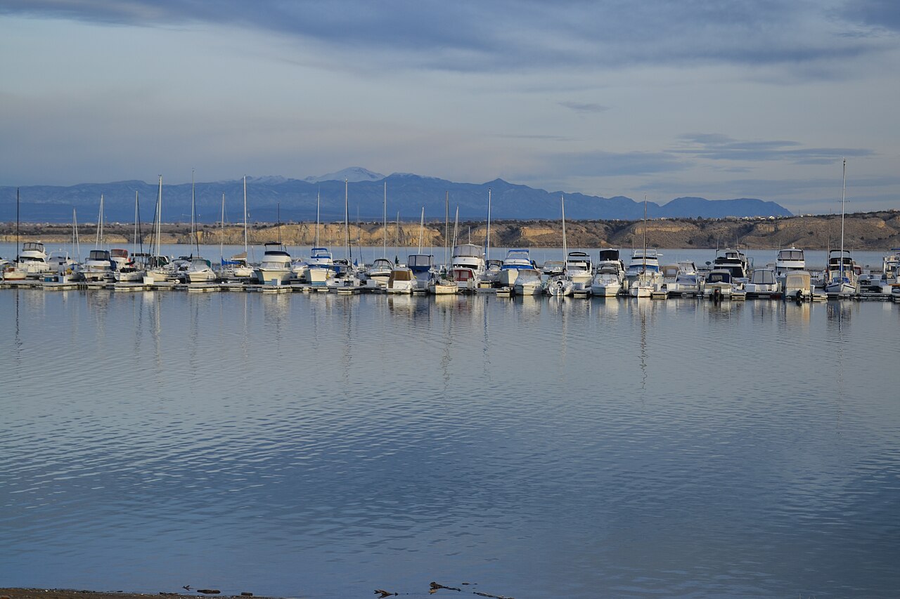
Pueblo Reservoir
At roughly 4,646 acres, Pueblo Reservoir is one of the lakes covered in Colorado. It lies in Pueblo County. It is managed by USBR…
Reservoir
Explore around New Mexico
Sources
Every figure on this page comes from one of these public sources.