
CountiesSan Miguel County
New MexicoReservoirSan Miguel County
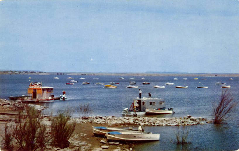
Conchas Lake
Fed by the outflow =, Conchas Lake holds roughly 9,727 acres of water in New Mexico. The lake is in San Miguel County. It is managed by NM EMNRD State Parks Division. The latest reading is 178.38 ft, 4,022.6 ft below the 4,201.0 ft full pool.
Coordinates35.3800, -104.2310
Surface area9,727 acres
Full pool4,201.0 ft
Riveroutflow =
Managed byNM EMNRD State Parks Division
Swimming beaches on Conchas Lake
No named swimming beach is mapped yet for this lake. Access is through agency day-use areas and boat ramps listed below. We add beach pages only when we can confirm a name, coordinates and an operating agency.
Conchas Lake on the map
Lake center, swimming spots and access points.
Weather and water temperature
Air temperature and wind from Open-Meteo. Water temperature only when the lake has a public sensor.
Weather data by Open-Meteo
Swimming at Conchas Lake
The center of the lake is at 35.3800, -104.2310. It lies at roughly 4,200 feet of elevation. Outflow feeds the outflow =.
If Conchas Lake is busy, the nearest alternatives here are Santa Rosa Lake (New Mexico, 34 mi), Ute Lake (New Mexico, 42 mi) and Lake Sumner (New Mexico, 53 mi). In all, 16 lakes in New Mexico are covered here.
Most New Mexico day-use areas open for the summer season and close outside it. Inland lakes are not monitored the way ocean beaches are, so posted signs matter more here. No public sensor reports water temperature at Conchas Lake, so the panel shows air temperature and wind.
Shoreline access on lakes like this one is often informal and unsigned. No named swimming beach is mapped at Conchas Lake in the federal and state datasets this guide reads. Access is through whatever the operating agency provides on the ground, so check with them first.
Station 07223500, CONCHAS LAKE AT CONCHAS DAM N. MEX., publishes the water surface elevation used here. The Corps of Engineers puts the top of the flood pool at 4,218.0 ft. The top of the dam sits at 4,235.0 ft. The agency sets full pool at 4,201.0 ft. The last value stored here, 178.38 ft, is from 2026-09-09. Check the reading the morning you go if your plan depends on a specific ramp.
Questions about Conchas Lake
What is the current water level at Conchas Lake?
The latest reading is 178.38 ft, 4,022.6 ft below the 4,201.0 ft full pool, from USGS gauge 07223500.
What is full pool at Conchas Lake?
Full pool is 4,201.0 ft. Water above that level is flood storage and is released as conditions allow.
Is there a beach at Conchas Lake?
No named swimming beach appears in the federal and state datasets this guide reads. Check the operating agency for day-use areas on the ground.
How big is Conchas Lake?
About 9,727 acres.
What other lakes are near Conchas Lake?
The closest in this guide is Santa Rosa Lake, about 34 miles away in New Mexico.
Lakes near Conchas Lake
Other lakes in this guide, ordered by distance.
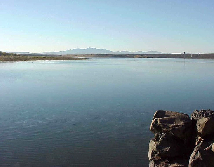
Cochiti Lake
At roughly 1,200 acres, Cochiti Lake is one of the lakes covered in New Mexico. The lake is in Sandoval County. Management is in…
Reservoir
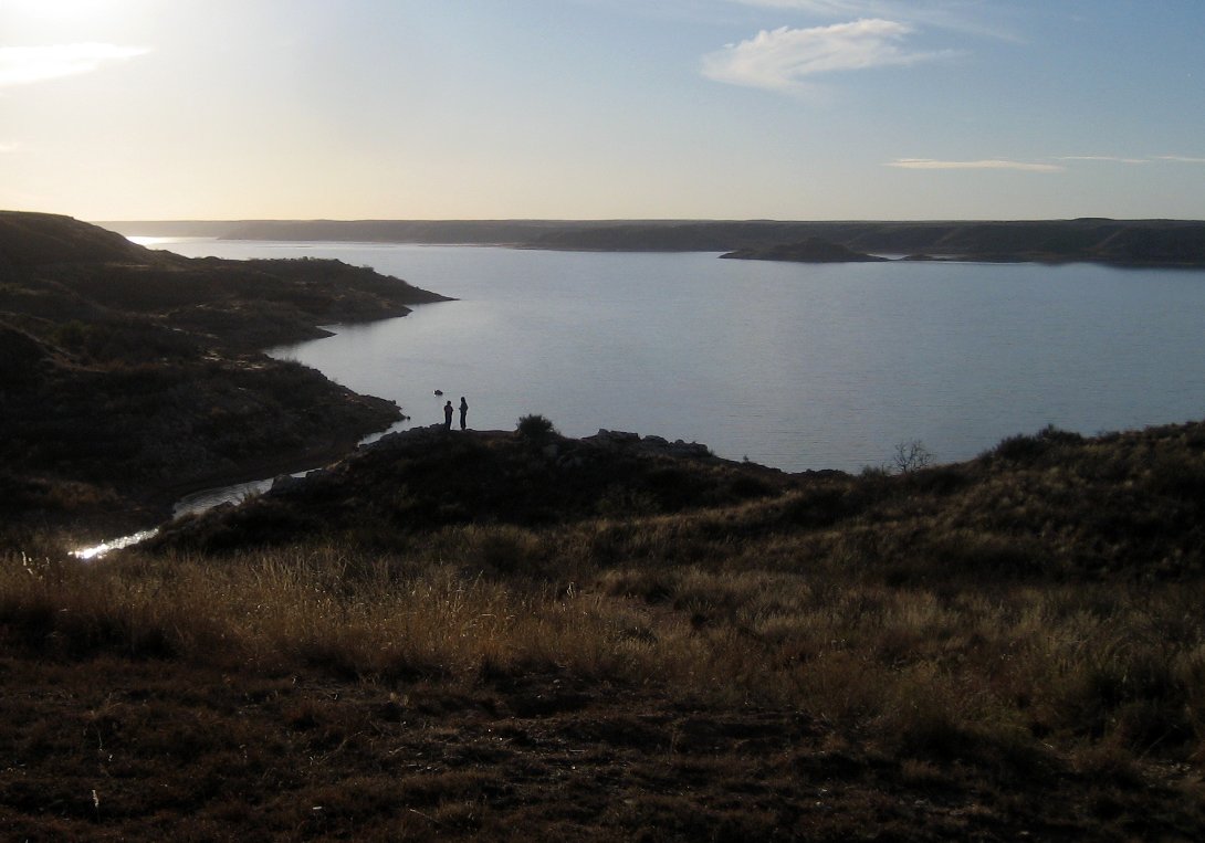
Lake Meredith
Lake Meredith is a 7,377-acre reservoir on the Canadian River in Texas. The lake is in Moore County. Management is in the hands…
41% fullReservoir
Heron Lake
Heron Lake covers about 5,900 acres of the Willow Creek in New Mexico. It lies in Rio Arriba County. Management is in the hands…
Reservoir
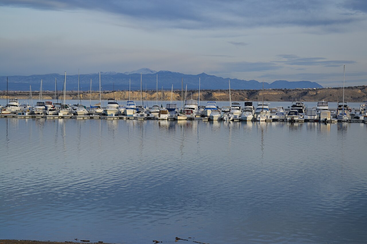
Pueblo Reservoir
At roughly 4,646 acres, Pueblo Reservoir is one of the lakes covered in Colorado. It lies in Pueblo County. It is managed by USBR…
Reservoir
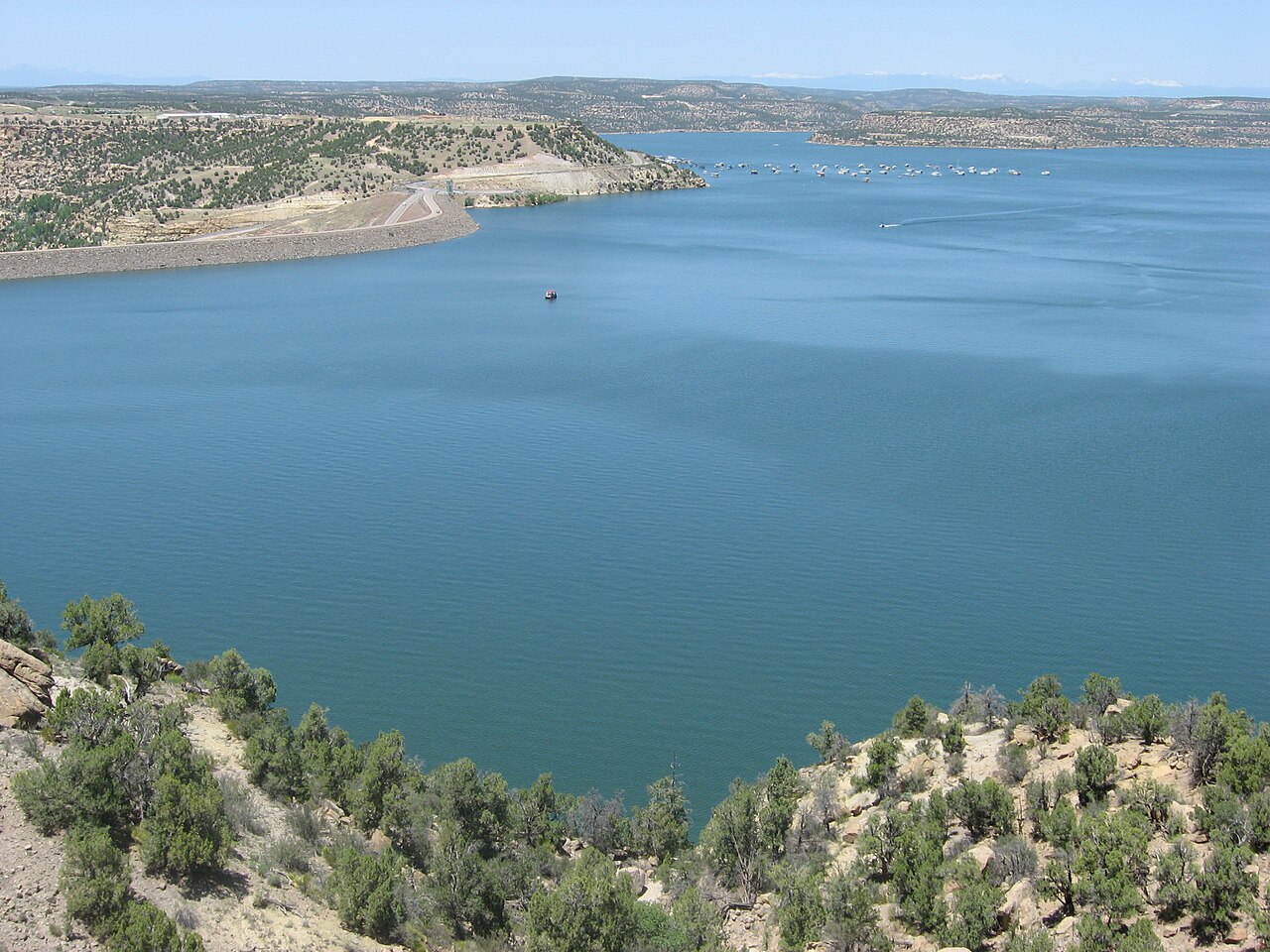
Navajo Reservoir
Fed by the San Juan River, Navajo Reservoir holds roughly 15,600 acres of water in New Mexico. The lake is in Archuleta County.…
Reservoir
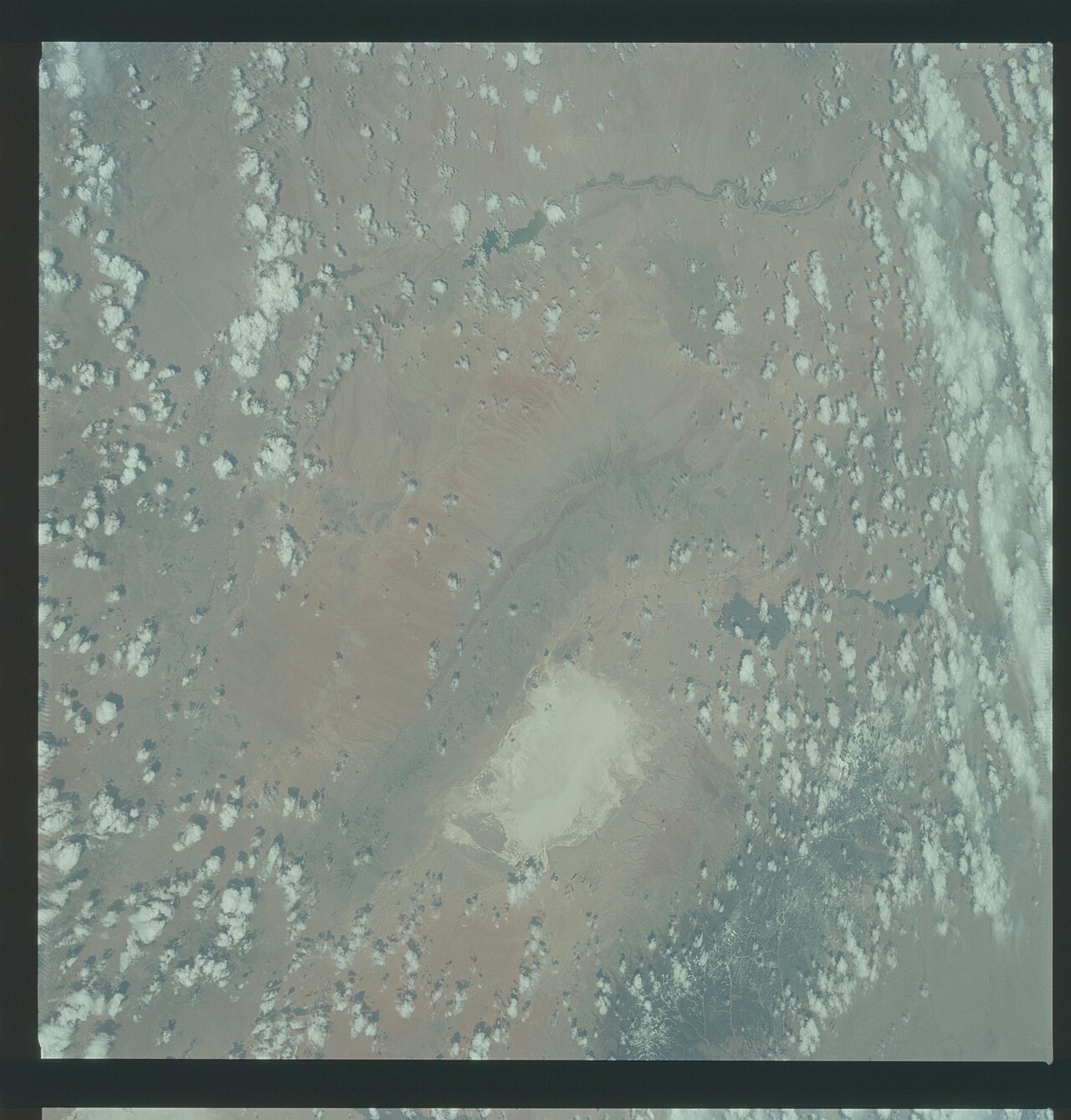
Elephant Butte Reservoir
Fed by the Rio Grande, Elephant Butte Reservoir holds roughly 36,500 acres of water in New Mexico. You will find it in Sierra…
Reservoir1 beach
Explore around New Mexico
Sources
Every figure on this page comes from one of these public sources.