
CountiesMoore County
TexasReservoirMoore County
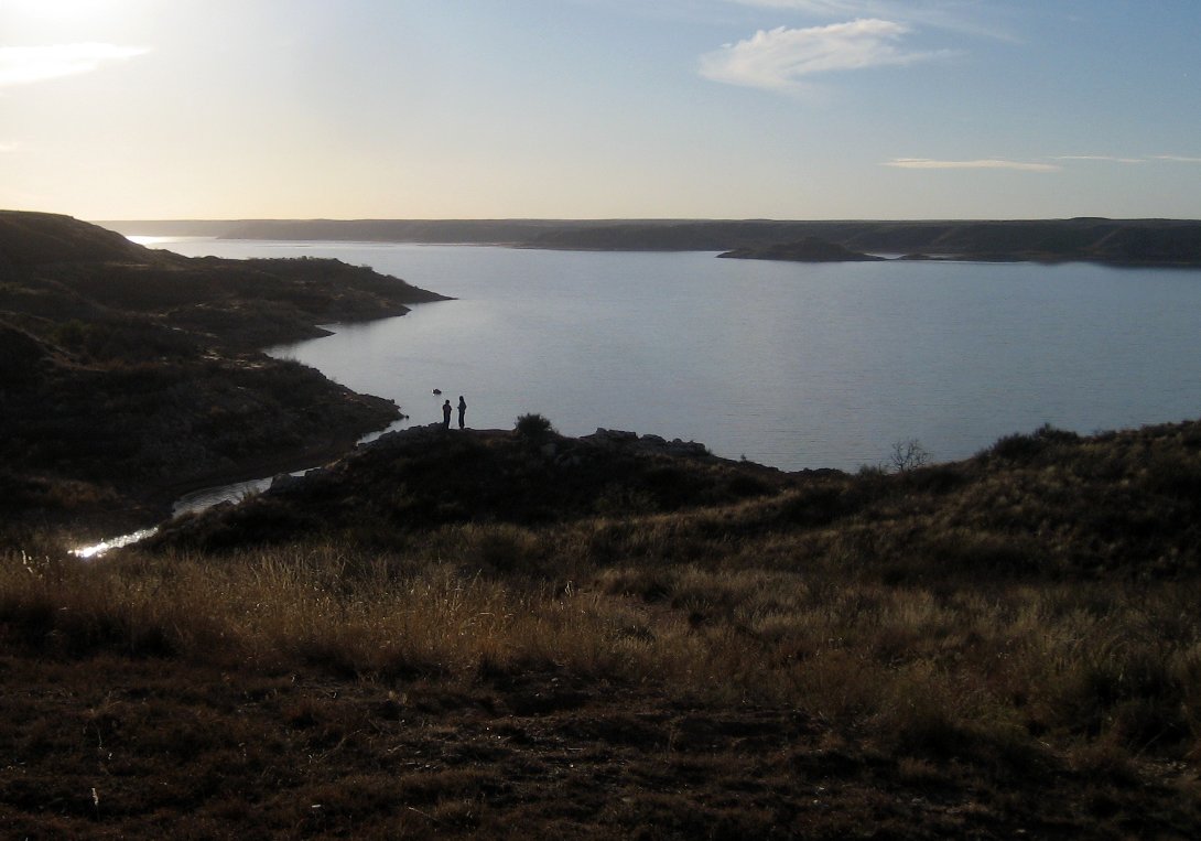
Lake Meredith
Lake Meredith is a 7,377-acre reservoir on the Canadian River in Texas. The lake is in Moore County. Management is in the hands of National Park Service (Lake Meredith NRA) / CRMWA. The latest reading is 2,889.12 ft, 47.4 ft below the 2,936.5 ft full pool.
Water level today: 2,889.12 ft (41% full) · see the full record
Coordinates35.7142, -101.5531
Surface area7,377 acres
Full pool2,936.5 ft
Capacity500,000 acre-ft
RiverCanadian River
Completed1990
Managed byNational Park Service (Lake Meredith NRA) / CRMWA
Swimming beaches on Lake Meredith
No named swimming beach is mapped yet for this lake. Access is through agency day-use areas and boat ramps listed below. We add beach pages only when we can confirm a name, coordinates and an operating agency.
Lake Meredith on the map
Lake center, swimming spots and access points.
Weather and water temperature
Air temperature and wind from Open-Meteo. Water temperature only when the lake has a public sensor.
Weather data by Open-Meteo
Water level today
Station 07227900, Lk Meredith nr Sanford, TX, publishes the water surface elevation used here. The last value stored here, 2,889.12 ft, is from 2026-09-09. The Corps of Engineers puts the top of the flood pool at 2,965.0 ft. Conservation capacity is 500,000 acre-feet. The top of the dam sits at 3,011.0 ft. Over the record shown on the level page the gauge has moved between 2,889.16 ft and 2,893.49 ft (low on 2026-09-08, high on 2025-09-19). That put the reservoir at 41% of its conservation capacity. Full pool is 2,936.5 ft. A low pool exposes stumps and mud in the shallow arms of the lake.
2,889.12 ft -0.18 ft in 7 days
Visiting Lake Meredith
Its coordinates are 35.7142, -101.5531. The Canadian River carries the outflow. The surface sits around 2,936 feet above sea level. Impoundment dates back to 1990.
There is no water temperature sensor here, so only air conditions are shown. Swimming season in Texas runs through the warm months, and day-use areas set their own opening dates. If the water looks like pea soup or paint, stay out and report it to the managing agency.
Station 07227900, Lk Meredith nr Sanford, TX, publishes the water surface elevation used here. The last value stored here, 2,889.12 ft, is from 2026-09-09. The Corps of Engineers puts the top of the flood pool at 2,965.0 ft. Conservation capacity is 500,000 acre-feet. The top of the dam sits at 3,011.0 ft. Over the record shown on the level page the gauge has moved between 2,889.16 ft and 2,893.49 ft (low on 2026-09-08, high on 2025-09-19). That put the reservoir at 41% of its conservation capacity. Full pool is 2,936.5 ft. A low pool exposes stumps and mud in the shallow arms of the lake.
Shoreline access on lakes like this one is often informal and unsigned. The federal and state datasets behind this guide list no named beach at Lake Meredith. That does not mean there is no access, only that none is catalogued.
If Lake Meredith is busy, the nearest alternatives here are Palo Duro Reservoir (Texas, 53 mi), Greenbelt Lake (Texas, 61 mi) and Lake Mackenzie (Texas, 81 mi). In all, 118 lakes in Texas are covered here.
Questions about Lake Meredith
Is there a beach at Lake Meredith?
No named swimming beach appears in the federal and state datasets this guide reads. Check the operating agency for day-use areas on the ground.
How big is Lake Meredith?
About 7,377 acres.
What other lakes are near Lake Meredith?
The closest in this guide is Palo Duro Reservoir, about 53 miles away in Texas.
Lakes near Lake Meredith
Other lakes in this guide, ordered by distance.
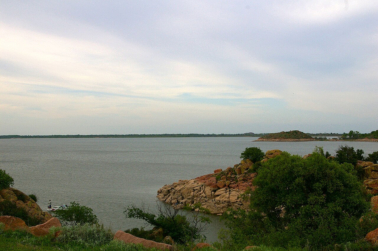
Lake Altus-Lugert
Lake Altus-Lugert is a 6,260-acre reservoir on the North Fork Red River in Oklahoma. It is managed by USACE Tulsa District (USBR…
Reservoir1 beach
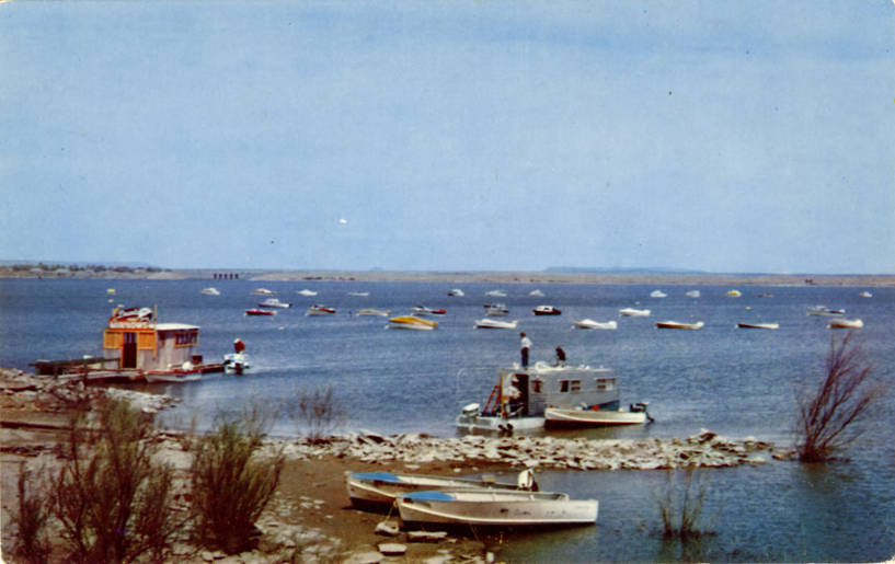
Conchas Lake
Fed by the outflow =, Conchas Lake holds roughly 9,727 acres of water in New Mexico. The lake is in San Miguel County. It is…
Reservoir
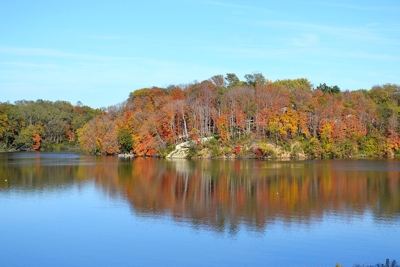
Canton Lake
Canton Lake covers about 7,910 acres in Oklahoma. You will find it in Blaine County. USACE Tulsa District manages it. The latest…
Reservoir
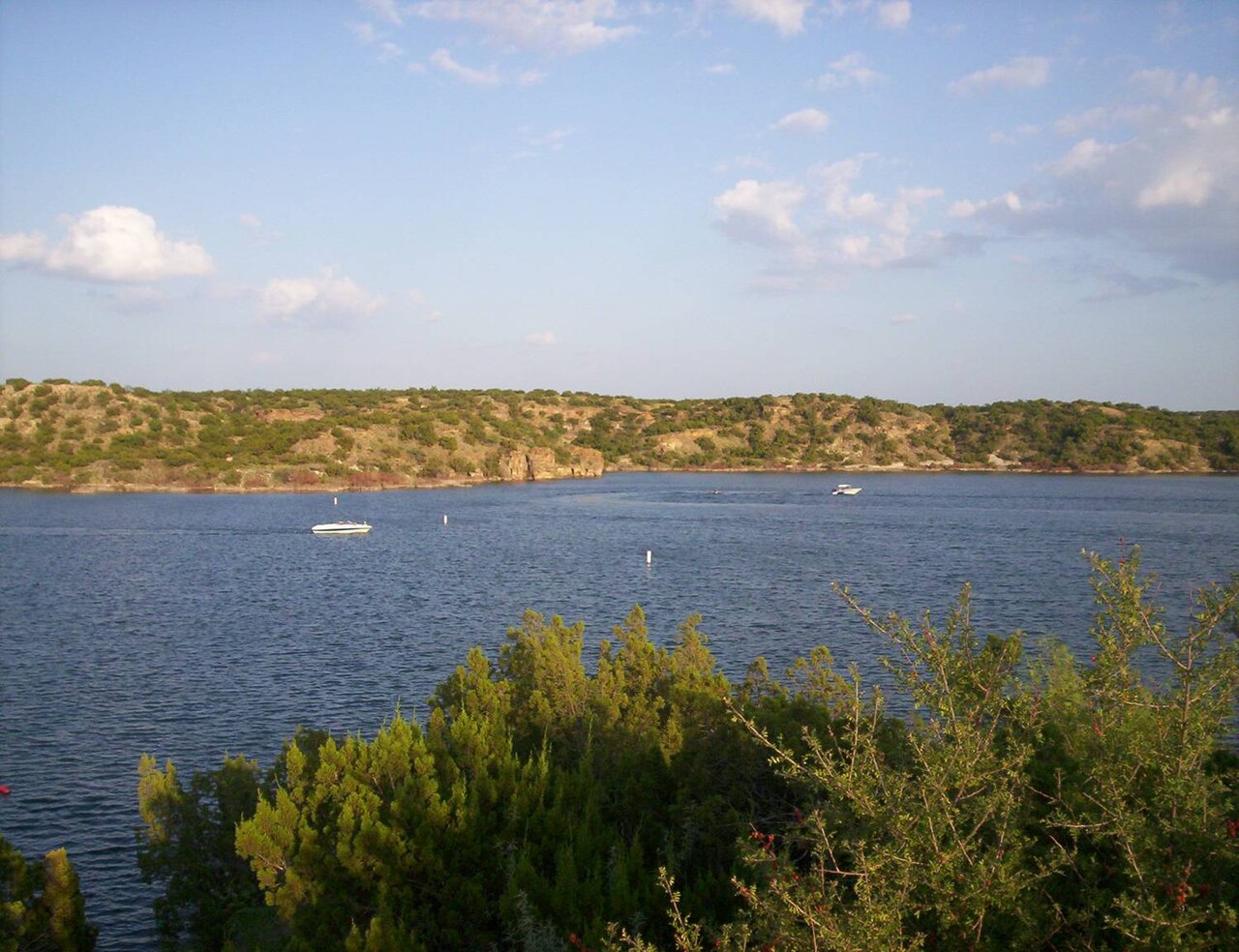
Lake Alan Henry
Lake Alan Henry covers about 2,143 acres of the catchment = in Texas. You will find it in Garza County. City of Lubbock / Brazos…
72% fullReservoir
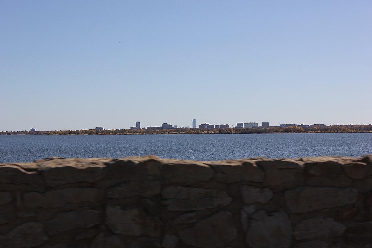
Lake Hefner
Lake Hefner covers about 2,500 acres of the outflow = in Oklahoma. It lies in Oklahoma County. Management is in the hands of City…
Reservoir
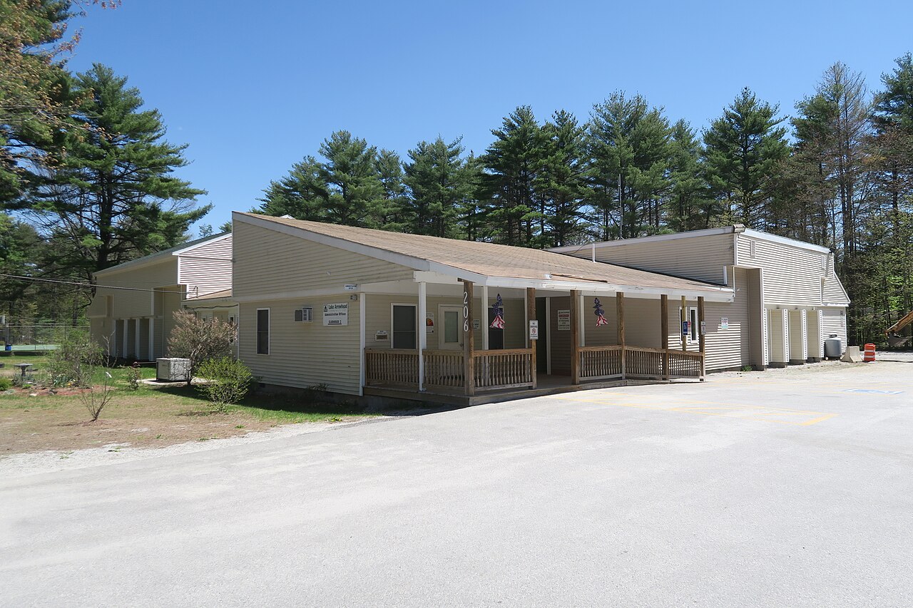
Lake Arrowhead
At roughly 11,994 acres, Lake Arrowhead is one of the lakes covered in Texas. It lies in Clay County. It is managed by City of…
72% fullReservoir
Explore around Texas
Sources
Every figure on this page comes from one of these public sources.