
CountiesHickory County
MissouriReservoirHickory County
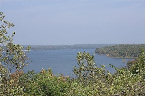
Pomme de Terre Lake
Pomme de Terre Lake covers about 7,907 acres of the Osage River in Missouri. It lies in Hickory County. It is managed by USACE Kansas City / Missouri State Parks. The gauge last read 838.81 ft.
Coordinates37.8622, -93.3239
Surface area7,907 acres
Max depth839 ft
RiverOsage River
Managed byUSACE Kansas City / Missouri State Parks
Swimming beaches on Pomme de Terre Lake
No named swimming beach is mapped yet for this lake. Access is through agency day-use areas and boat ramps listed below. We add beach pages only when we can confirm a name, coordinates and an operating agency.
Pomme de Terre Lake on the map
Lake center, swimming spots and access points.
Weather and water temperature
Air temperature and wind from Open-Meteo. Water temperature only when the lake has a public sensor.
Weather data by Open-Meteo
A closer look at Pomme de Terre Lake
The center of the lake is at 37.8622, -93.3239. It lies at roughly 840 feet of elevation. It reaches roughly 839 feet at its deepest. Releases go downstream into the Osage River.
Around Pomme de Terre Lake this guide maps 6 public recreation areas and 2 boat ramps. Recreation areas nearby include Hermitage State Park, Pittsburg State Park and Outlet Park. Launch points include Nemo Landing and Lightfoot Landing.. None is staffed by a lifeguard unless the managing agency posts one.
Readings come from station 06921325 (Pomme de Terre Lake near Hermitage, MO). The last value stored here, 838.81 ft, is from 2026-09-09. A low pool exposes stumps and mud in the shallow arms of the lake.
Water temperature is not measured at this lake by any public agency we read. Most Missouri day-use areas open for the summer season and close outside it. If the water looks like pea soup or paint, stay out and report it to the managing agency.
The closest lakes in this guide are Harry S. Truman Lake (Missouri, 24 mi), Stockton Lake (Missouri, 29 mi) and Fellows Lake (Missouri, 38 mi). Missouri has 18 lakes on this site in total.
Recreation areas on Pomme de Terre Lake
6 public recreation areas mapped around the lake by the U.S. Army Corps of Engineers. Facilities vary by area; check the managing office for opening dates and fees.
Hermitage State Park Pittsburg State Park Outlet Park Wheatland Park Pittsburg Park Bolivar Park
Source: USACE Recreation Areas
Boat ramps and access points
Public launch points recorded around the lake. Low water can close shallow ramps, so check the level before hauling a trailer.
| Name | Operated by | Distance | Source |
|---|---|---|---|
| Nemo Landing | Corps Of Engineers | 2.5 mi | source |
| Lightfoot Landing | Corps Of Engineers | 3.1 mi | source |
Ramp data: USACE Recreation Areas
Questions about Pomme de Terre Lake
What is the current water level at Pomme de Terre Lake?
The latest reading is 838.81 ft, from USGS gauge 06921325.
Is there a beach at Pomme de Terre Lake?
No named swimming beach appears in the federal and state datasets this guide reads. Check the operating agency for day-use areas on the ground.
How big is Pomme de Terre Lake?
About 7,907 acres. Maximum depth is around 839 feet.
What other lakes are near Pomme de Terre Lake?
The closest in this guide is Harry S. Truman Lake, about 24 miles away in Missouri.
Lakes near Pomme de Terre Lake
Other lakes in this guide, ordered by distance.
Harry S. Truman Lake
At roughly 55,600 acres, Harry S. Truman Lake is one of the lakes covered in Missouri. Its shoreline falls inside St. Clair…
Reservoir
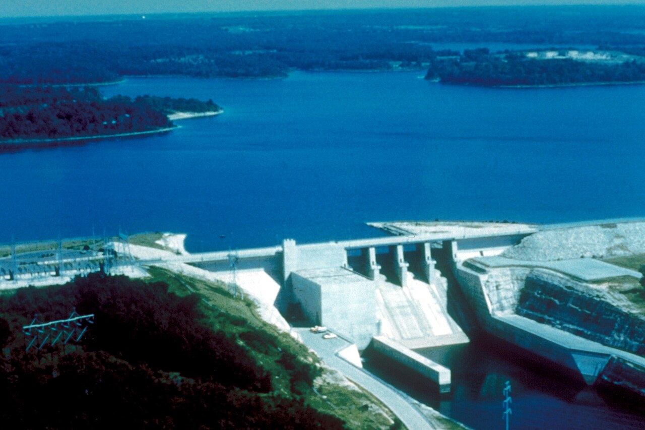
Stockton Lake
Stockton Lake is a 25,000-acre reservoir on the Sac River in Missouri. You will find it in Polk County. Management is in the…
Reservoir
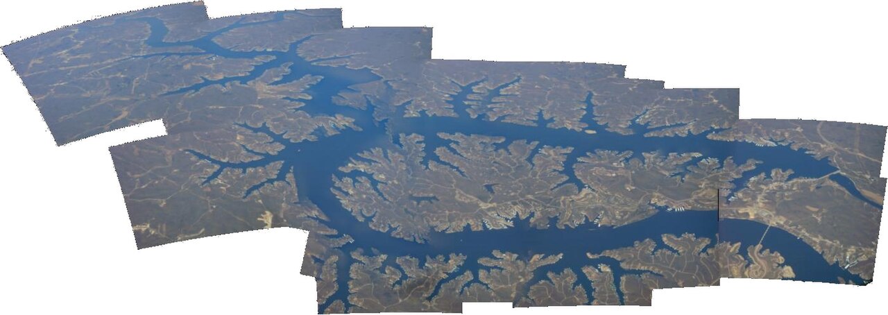
Lake of the Ozarks
Lake of the Ozarks was created by impounding the Osage River in central Missouri and covers about 54,000 acres with 1,150 miles…
Reservoir
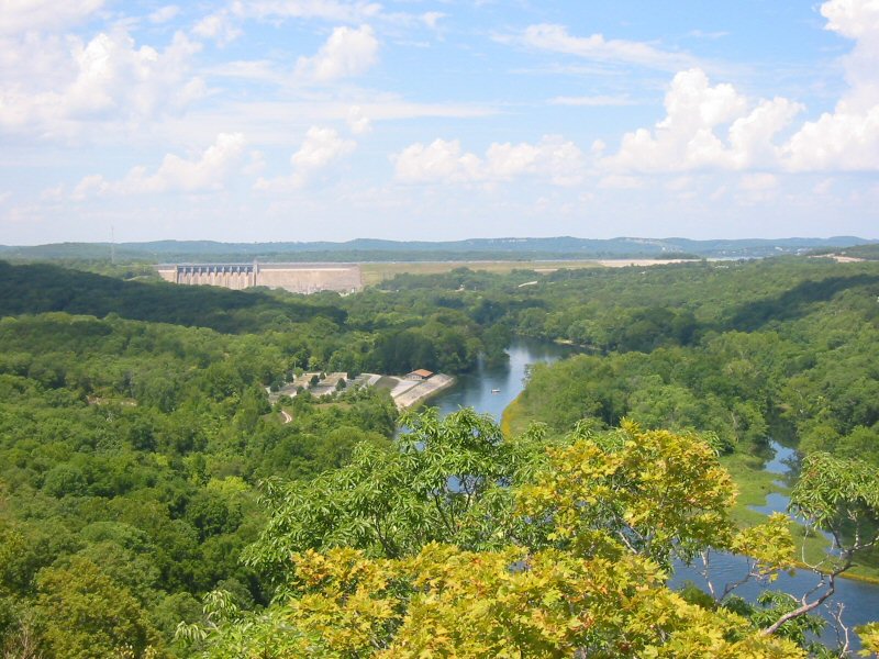
Lake Taneycomo
Fed by the White River, Lake Taneycomo holds roughly 2,200 acres of water in Missouri. You will find it in Taney County.…
Reservoir
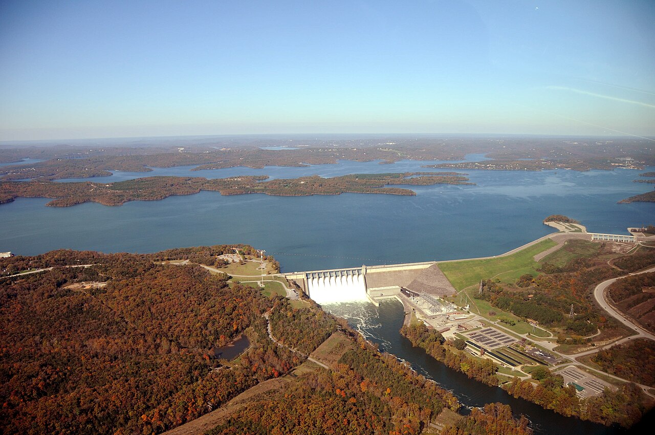
Table Rock Lake
Table Rock Lake covers about 43,100 acres of the White River in Missouri. You will find it in Stone County. USACE Little Rock…
Reservoir
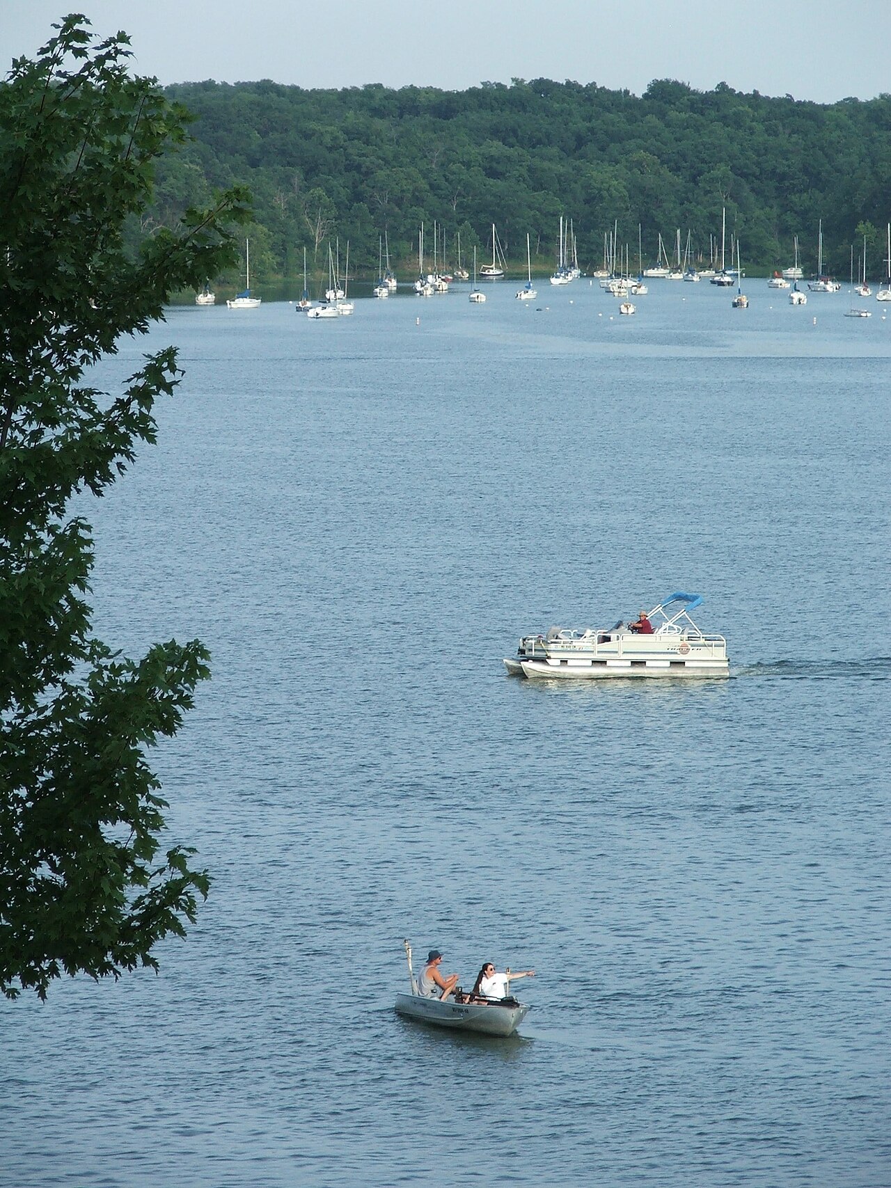
Lake Jacomo
Lake Jacomo is a reservoir of some 970 acres on the Blue Springs Lake, in Missouri. The lake is in Jackson County. Management is…
Reservoir
Explore around Missouri
Sources
Every figure on this page comes from one of these public sources.