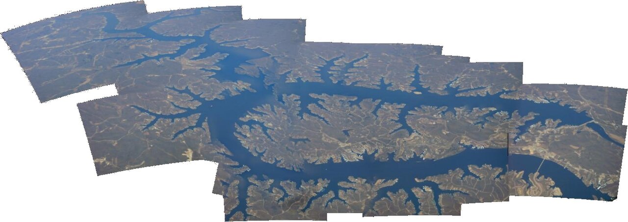
Lake of the Ozarks
Lake of the Ozarks was created by impounding the Osage River in central Missouri and covers about 54,000 acres with 1,150 miles…
Reservoir

Lakes
This guide covers 12 lakes and reservoirs in Missouri. 2 of them have a public water level gauge, and together they hold 0 mapped swimming spots. Each page carries the live level where an agency publishes one, plus weather, access points and sources.
Click a marker to open the lake page.
Ordered by how much people search for them.
Lake of the Ozarks was created by impounding the Osage River in central Missouri and covers about 54,000 acres with 1,150 miles…
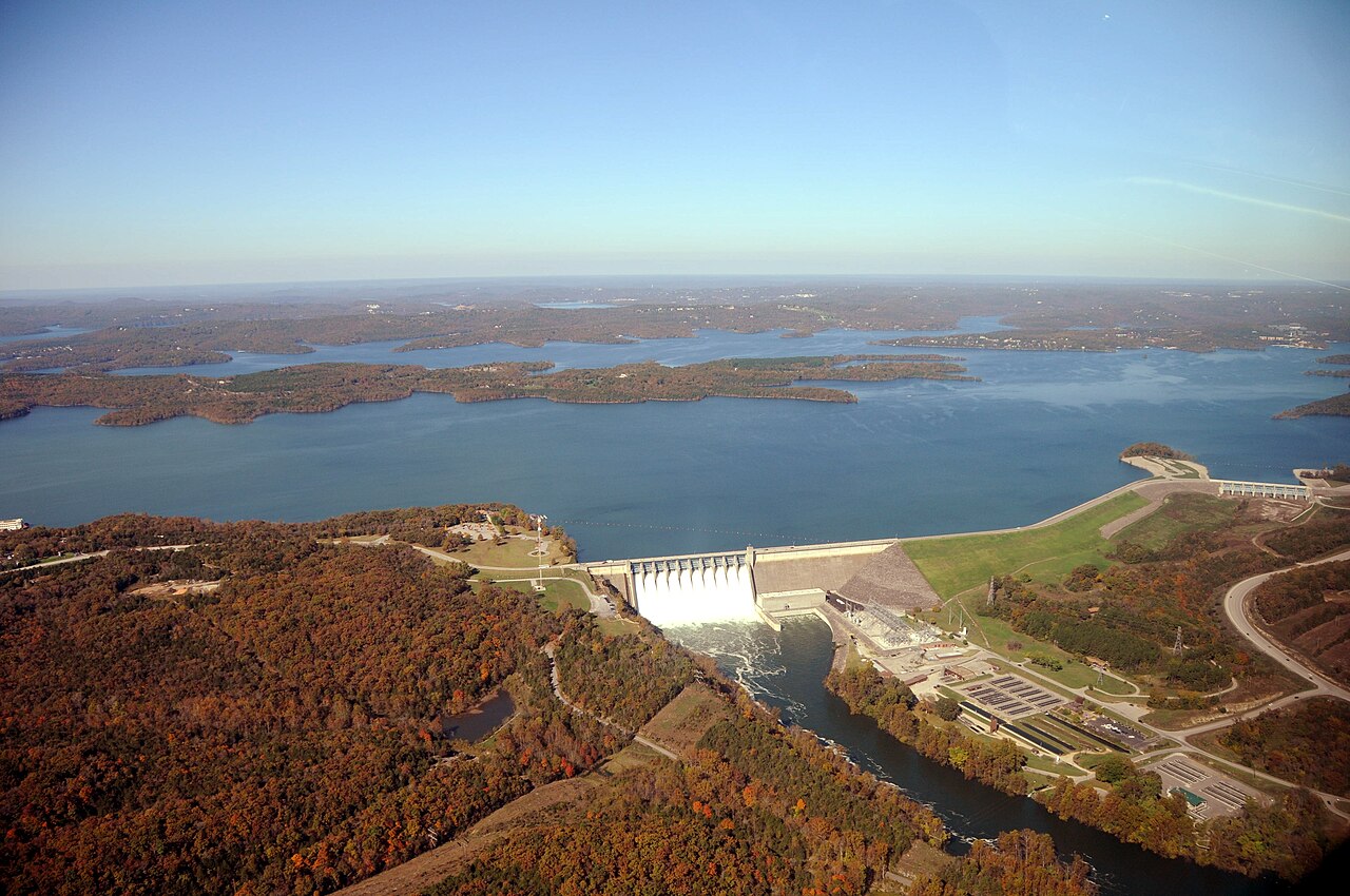
Table Rock Lake covers about 43,100 acres of the White River in Missouri. You will find it in Stone County. USACE Little Rock…
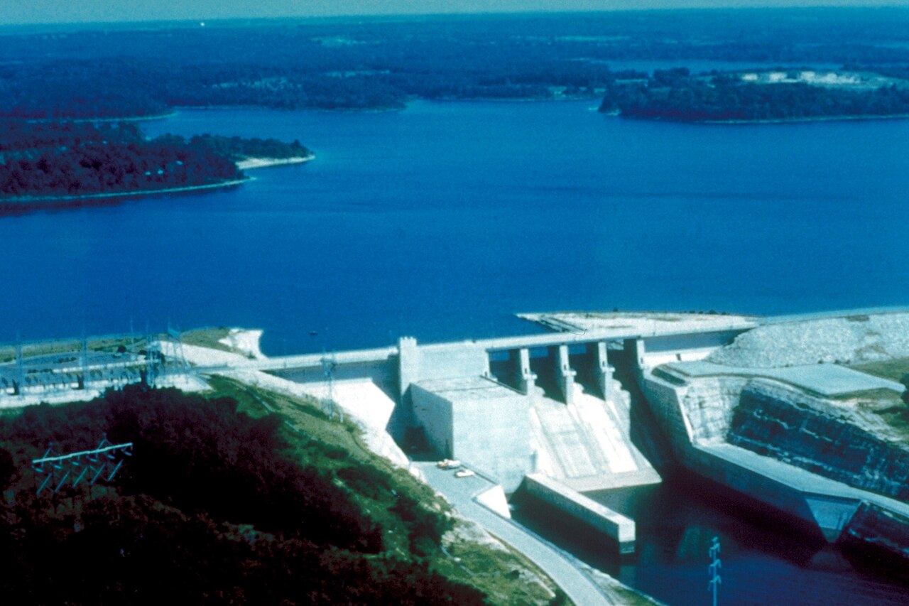
Stockton Lake is a 25,000-acre reservoir on the Sac River in Missouri. You will find it in Polk County. Management is in the…
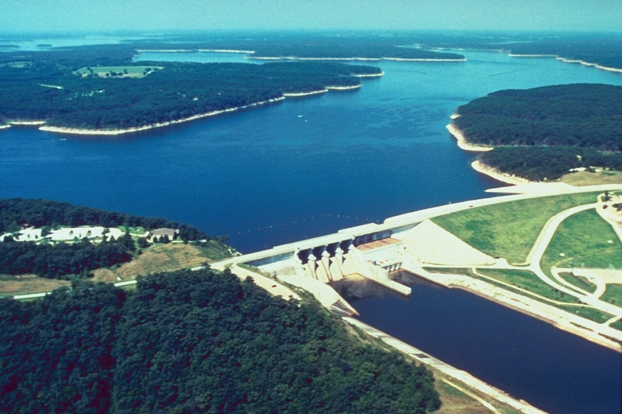
Mark Twain Lake covers about 18,600 acres of the Salt River in Missouri. The lake is in Monroe County. USACE St. Louis District…
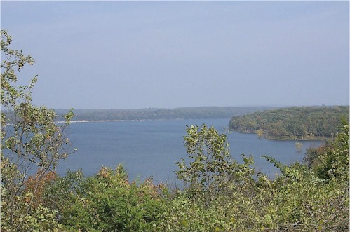
Pomme de Terre Lake covers about 7,907 acres of the Osage River in Missouri. It lies in Hickory County. It is managed by USACE…

Fed by the St. Francis River, Lake Wappapello holds roughly 8,400 acres of water in Missouri. It lies in Butler County. It is…
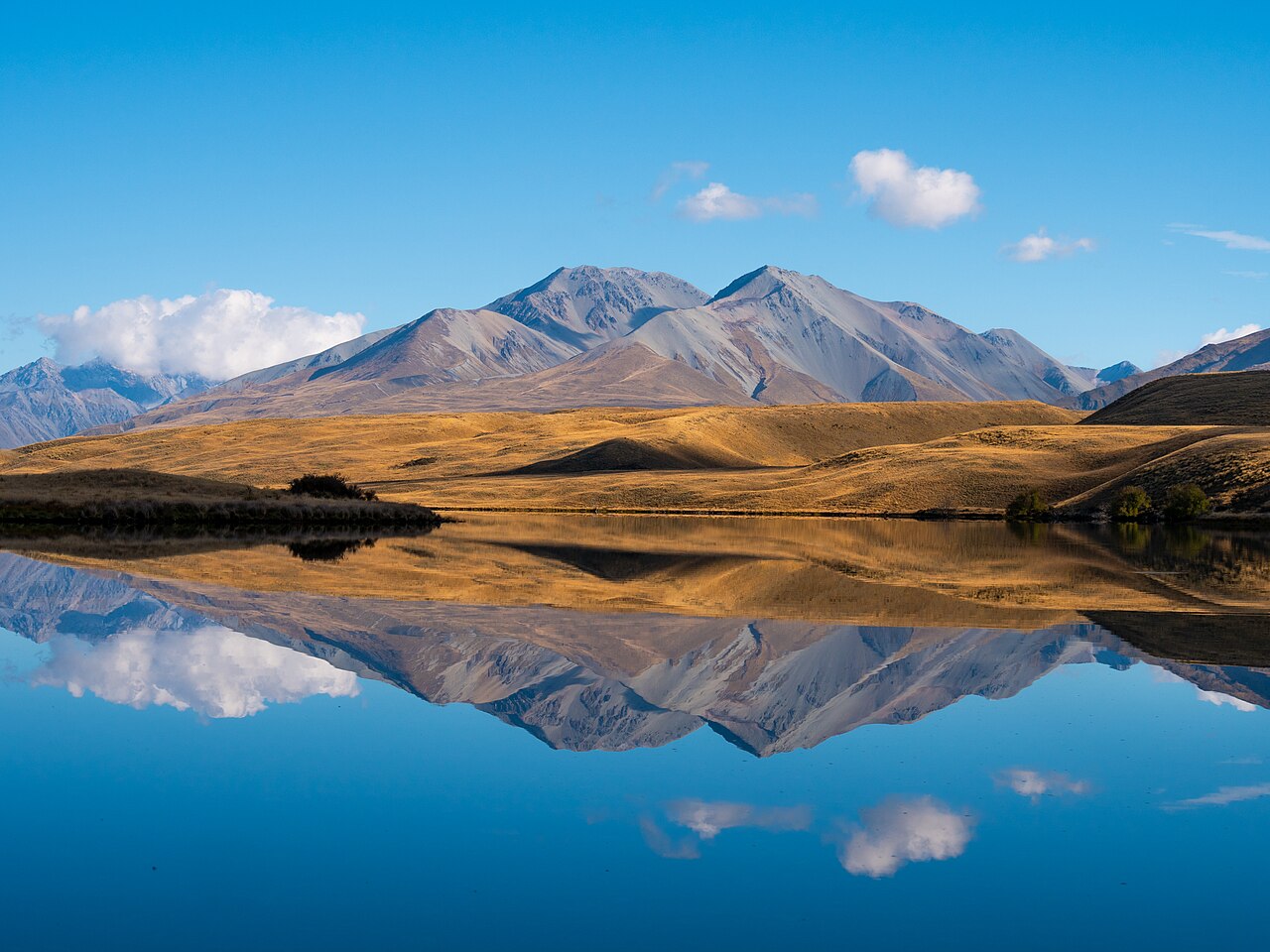
Fed by the Black River, Clearwater Lake holds roughly 1,630 acres of water in Missouri. You will find it in Reynolds County.…
Smithville Lake covers about 7,190 acres of the Little Platte River in Missouri. It lies in Clay County. It is managed by USACE…
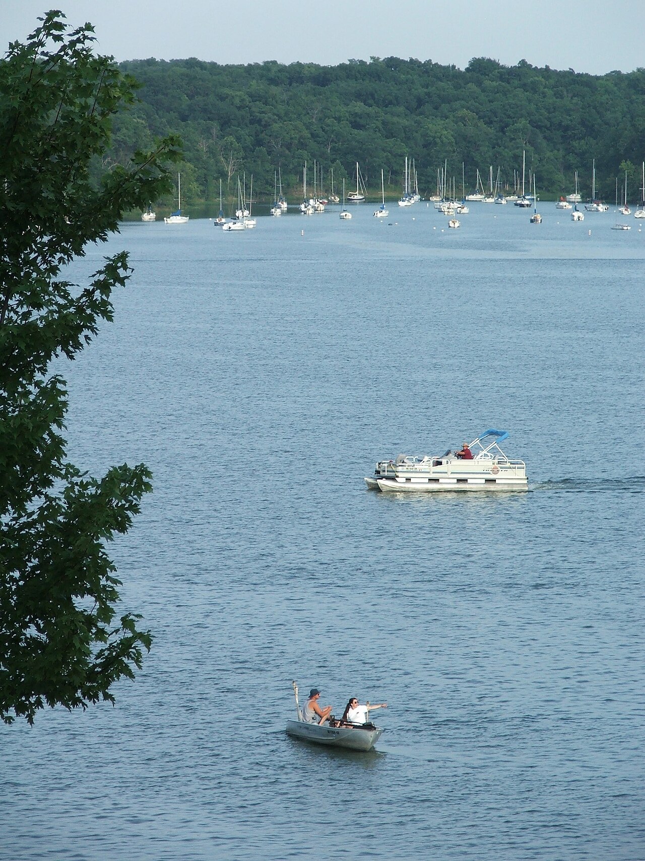
Lake Jacomo is a reservoir of some 970 acres on the Blue Springs Lake, in Missouri. The lake is in Jackson County. Management is…
At roughly 55,600 acres, Harry S. Truman Lake is one of the lakes covered in Missouri. Its shoreline falls inside St. Clair…
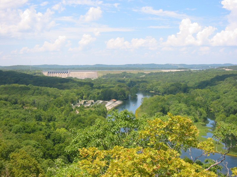
Fed by the White River, Lake Taneycomo holds roughly 2,200 acres of water in Missouri. You will find it in Taney County.…
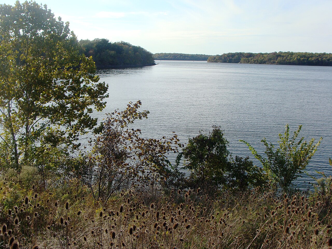
Blue Springs Lake is a 720-acre reservoir on the east fork Little Blue River in Missouri. You will find it in Jackson County.…