
CountiesTaney County
MissouriReservoirTaney County
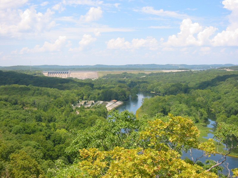
Lake Taneycomo
Fed by the White River, Lake Taneycomo holds roughly 2,200 acres of water in Missouri. You will find it in Taney County. Management is in the hands of Missouri Department of Conservation. The gauge last read 701.27 ft.
Water level today: 701.27 ft · see the full record
Coordinates36.6950, -93.1650
Surface area2,200 acres
RiverWhite River
Managed byMissouri Department of Conservation
Swimming beaches on Lake Taneycomo
No named swimming beach is mapped yet for this lake. Access is through agency day-use areas and boat ramps listed below. We add beach pages only when we can confirm a name, coordinates and an operating agency.
Lake Taneycomo on the map
Lake center, swimming spots and access points.
Weather and water temperature
Air temperature and wind from Open-Meteo. Water temperature only when the lake has a public sensor.
Weather data by Open-Meteo
Water level today
Readings come from station 07053820 (Lake Taneycomo at Ozark Beach Dam, MO). The last value stored here, 701.27 ft, is from 2026-09-09. A low pool exposes stumps and mud in the shallow arms of the lake.
701.27 ft trend not available
Lake Taneycomo in Missouri
Its coordinates are 36.6950, -93.1650. Water leaves through the White River. It lies at roughly 702 feet of elevation.
Absence from these datasets does not mean the water is closed, only that no agency lists a beach. No named swimming beach is mapped at Lake Taneycomo in the federal and state datasets this guide reads. Access is through whatever the operating agency provides on the ground, so check with them first.
Nearby water includes Table Rock Lake (Missouri, 12 mi), Bull Shoals Lake (Arkansas, 40 mi) and Fellows Lake (Missouri, 43 mi). Missouri has 18 lakes on this site in total.
Season dates vary by park; the operating agency publishes them each spring. Algae blooms are seasonal and local: look for posted signs at the ramp or park entrance. There is no water temperature sensor here, so only air conditions are shown.
Readings come from station 07053820 (Lake Taneycomo at Ozark Beach Dam, MO). The last value stored here, 701.27 ft, is from 2026-09-09. A low pool exposes stumps and mud in the shallow arms of the lake.
Questions about Lake Taneycomo
Is there a beach at Lake Taneycomo?
No named swimming beach appears in the federal and state datasets this guide reads. Check the operating agency for day-use areas on the ground.
How big is Lake Taneycomo?
About 2,200 acres.
What other lakes are near Lake Taneycomo?
The closest in this guide is Table Rock Lake, about 12 miles away in Missouri.
Lakes near Lake Taneycomo
Other lakes in this guide, ordered by distance.
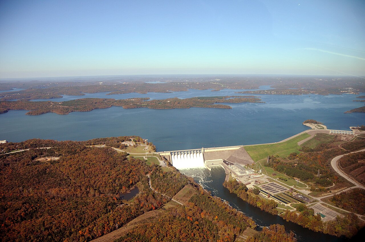
Table Rock Lake
Table Rock Lake covers about 43,100 acres of the White River in Missouri. You will find it in Stone County. USACE Little Rock…
Reservoir
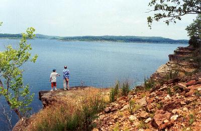
Bull Shoals Lake
Fed by the White River, Bull Shoals Lake holds roughly 45,440 acres of water in Arkansas. It is managed by USACE Little Rock…
Reservoir
Beaver Lake
At roughly 28,200 acres, Beaver Lake is one of the lakes covered in Arkansas. The lake is in Washington County. Management is in…
Reservoir
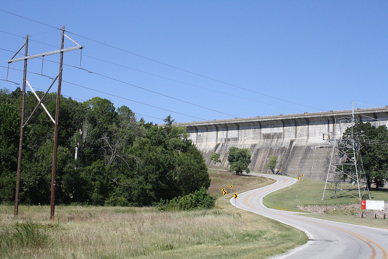
Norfork Lake
At roughly 22,000 acres, Norfork Lake is one of the lakes covered in Arkansas. The lake is in Baxter County. Management is in the…
Reservoir
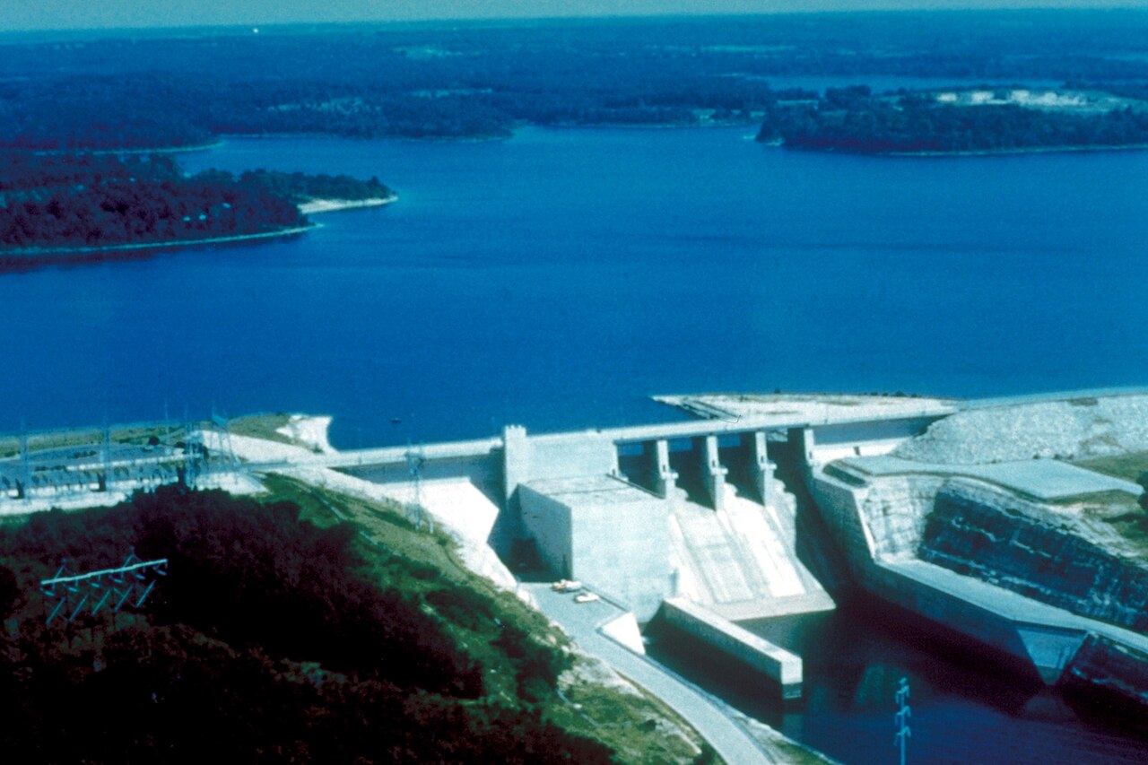
Stockton Lake
Stockton Lake is a 25,000-acre reservoir on the Sac River in Missouri. You will find it in Polk County. Management is in the…
Reservoir
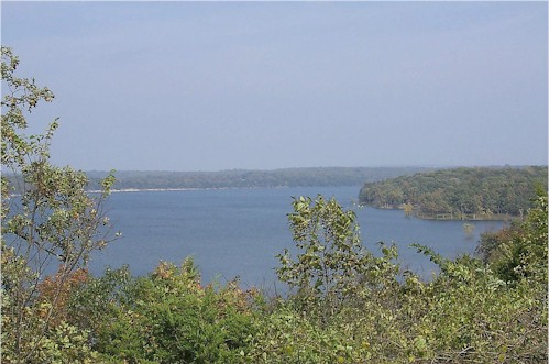
Pomme de Terre Lake
Pomme de Terre Lake covers about 7,907 acres of the Osage River in Missouri. It lies in Hickory County. It is managed by USACE…
Reservoir
Explore around Missouri
Sources
Every figure on this page comes from one of these public sources.