
CountiesCamden, Miller, Morgan and Benton counties
MissouriReservoirCamden County
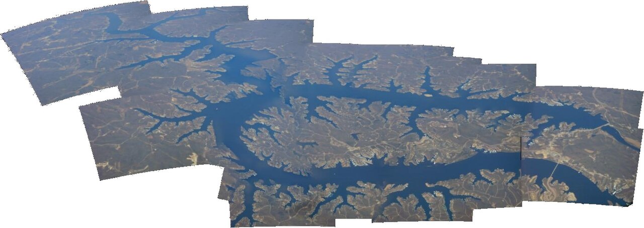
Lake of the Ozarks
Lake of the Ozarks was created by impounding the Osage River in central Missouri and covers about 54,000 acres with 1,150 miles of shoreline. The main Osage arm runs 92 miles from end to end, and the lake's winding shape earned it the nickname the Missouri Dragon. Public swimming beaches sit inside Missouri State Parks units around the lake.
Nearest townOsage Beach, MO
Coordinates38.2034, -92.6235
Surface area54,000 acres
Max depth130 ft
Shoreline1,150 mi
RiverOsage River
Managed byMissouri State Parks (recreation); Bagnell Dam operated by a private utility
Swimming beaches on Lake of the Ozarks
No named swimming beach is mapped yet for this lake. Access is through agency day-use areas and boat ramps listed below. We add beach pages only when we can confirm a name, coordinates and an operating agency.
Lake of the Ozarks on the map
Lake center, swimming spots and access points.
Weather and water temperature
Air temperature and wind from Open-Meteo. Water temperature only when the lake has a public sensor.
Weather data by Open-Meteo
Water level
No live level chart for this lake. No public agency publishes a continuous, machine-readable level series for this reservoir. It is operated by a private utility.
Visiting Lake of the Ozarks
Three smaller tributaries are part of the impoundment: the Niangua River, Grandglaize Creek and Gravois Creek. Together they drain more than 14,000 square miles, which is why the lake has so many arms and coves relative to its surface area.
Lake of the Ozarks State Park is the largest state park in Missouri and holds the main public swimming beaches, boat ramps and campgrounds. Ha Ha Tonka State Park sits on the Niangua arm with bluff trails above the water. Outside the parks most of the shoreline is private and developed with docks and resorts.
Summer is busy and boat traffic is heavy on the main channel, so swimming areas are marked and worth staying inside. The water warms early and stays comfortable from late May into September, which is one reason the lake draws visitors from Kansas City and St. Louis.
The reservoir is operated for hydroelectric power by a private utility, and no public agency publishes a continuous, machine-readable elevation feed for it. This page therefore shows access, weather and park information but no live level chart.
Questions about Lake of the Ozarks
Can you swim in Lake of the Ozarks?
Yes. Public swimming beaches are inside Lake of the Ozarks State Park and other Missouri State Parks units. Most of the remaining shoreline is private.
How big is Lake of the Ozarks?
About 54,000 acres with 1,150 miles of shoreline. The main Osage arm runs 92 miles end to end.
Why is there no water level chart for Lake of the Ozarks?
The reservoir is operated by a private utility and no public agency publishes a continuous elevation feed for it in machine-readable form. We do not estimate figures we cannot source.
Why is it called the Missouri Dragon?
Because of the lake's long, winding shape. The impoundment follows the Osage River channel and its tributaries rather than filling a broad basin.
Lakes near Lake of the Ozarks
Other lakes in this guide, ordered by distance.
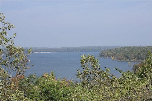
Pomme de Terre Lake
Pomme de Terre Lake covers about 7,907 acres of the Osage River in Missouri. It lies in Hickory County. It is managed by USACE…
Reservoir
Harry S. Truman Lake
At roughly 55,600 acres, Harry S. Truman Lake is one of the lakes covered in Missouri. Its shoreline falls inside St. Clair…
Reservoir
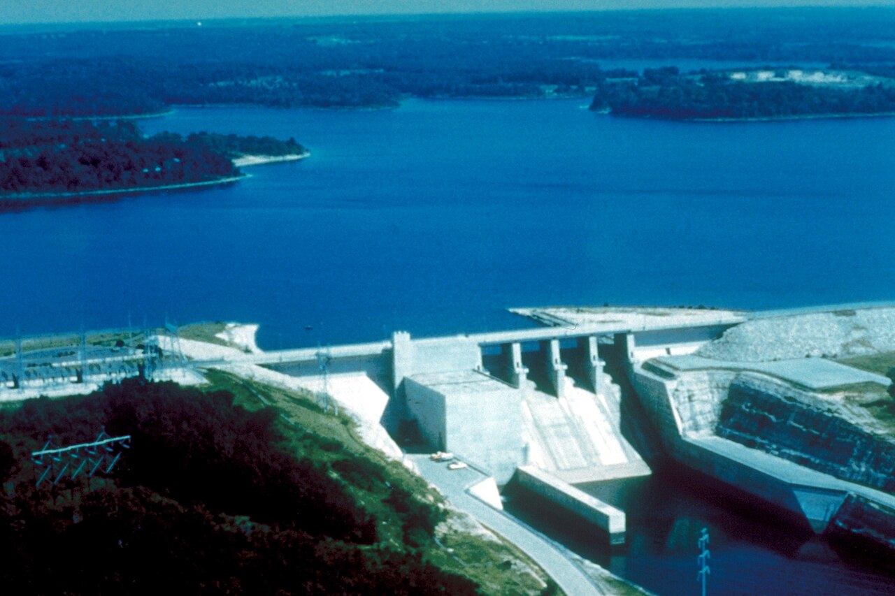
Stockton Lake
Stockton Lake is a 25,000-acre reservoir on the Sac River in Missouri. You will find it in Polk County. Management is in the…
Reservoir
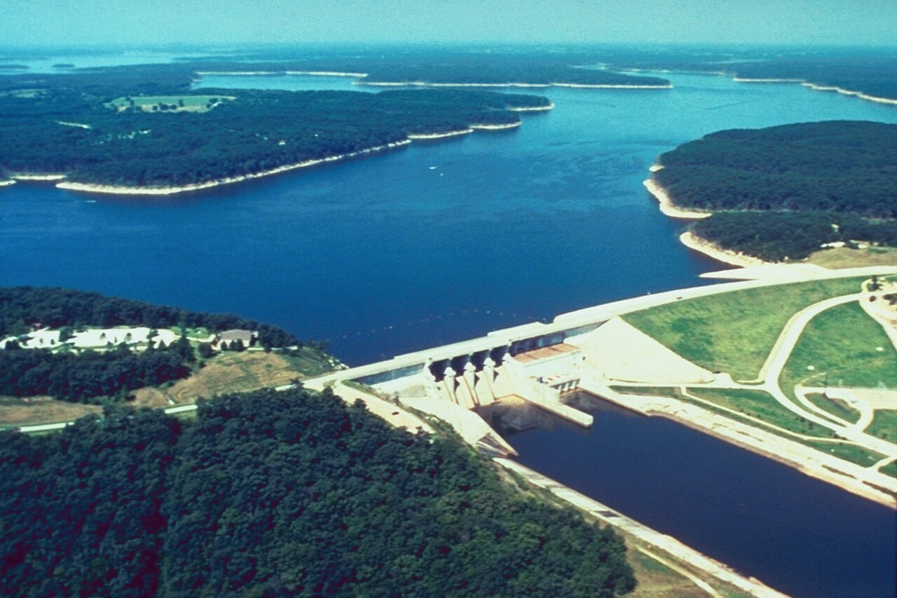
Mark Twain Lake
Mark Twain Lake covers about 18,600 acres of the Salt River in Missouri. The lake is in Monroe County. USACE St. Louis District…
Reservoir
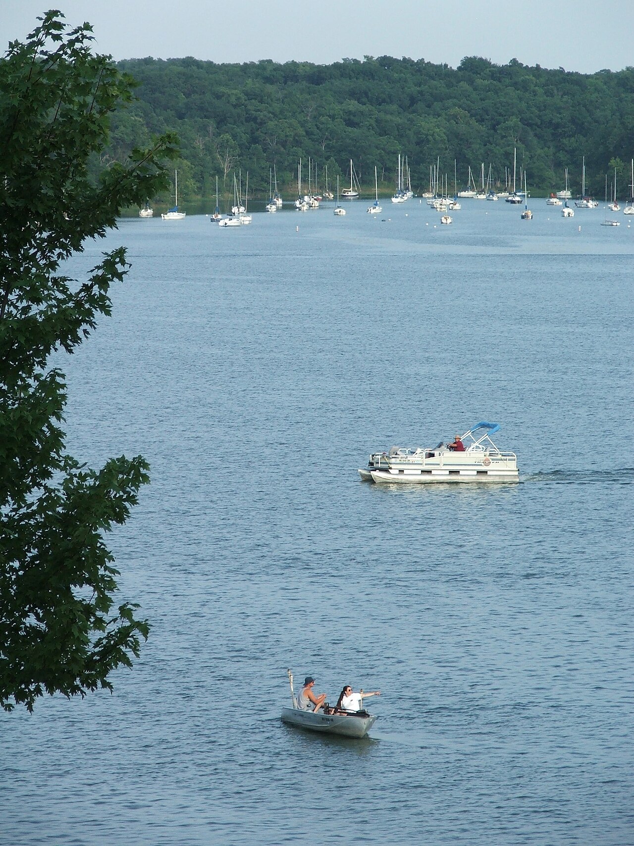
Lake Jacomo
Lake Jacomo is a reservoir of some 970 acres on the Blue Springs Lake, in Missouri. The lake is in Jackson County. Management is…
Reservoir
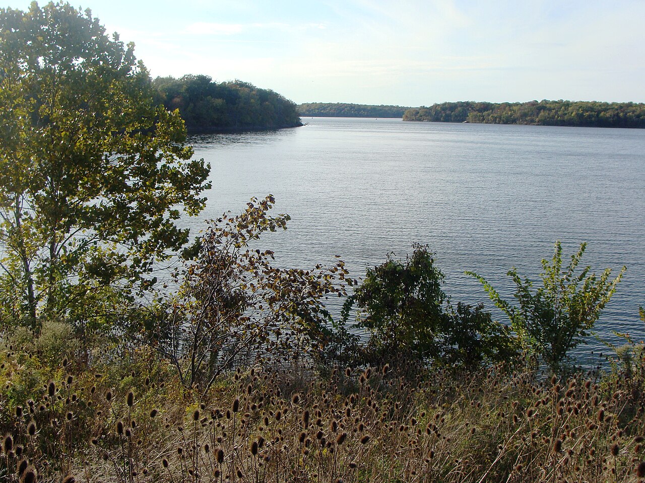
Blue Springs Lake
Blue Springs Lake is a 720-acre reservoir on the east fork Little Blue River in Missouri. You will find it in Jackson County.…
Reservoir
Explore around Missouri
Sources
Every figure on this page comes from one of these public sources.