
CountiesJackson County
MissouriReservoirJackson County
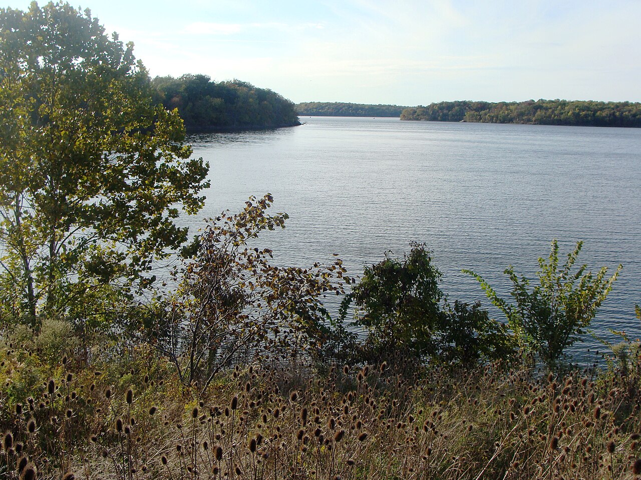
Blue Springs Lake
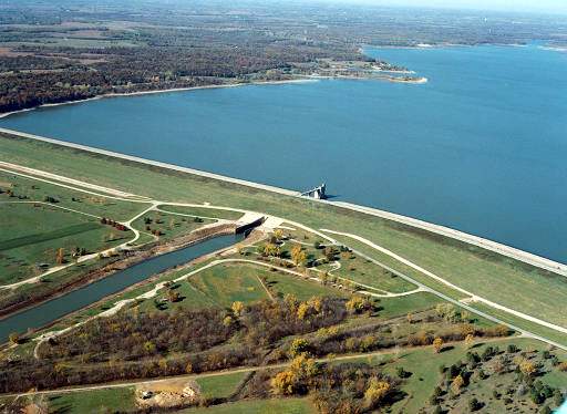
Blue Springs Lake is a 720-acre reservoir on the east fork Little Blue River in Missouri. You will find it in Jackson County. Management is in the hands of Jackson County Parks + Rec. The gauge last read 801.59 ft.
Coordinates39.0161, -94.3393
Surface area720 acres
Rivereast fork Little Blue River
Managed byJackson County Parks + Rec
Swimming beaches on Blue Springs Lake
No named swimming beach is mapped yet for this lake. Access is through agency day-use areas and boat ramps listed below. We add beach pages only when we can confirm a name, coordinates and an operating agency.
Blue Springs Lake on the map
Lake center, swimming spots and access points.
Weather and water temperature
Air temperature and wind from Open-Meteo. Water temperature only when the lake has a public sensor.
Weather data by Open-Meteo
Swimming at Blue Springs Lake
Its coordinates are 39.0161, -94.3393. Water leaves through the east fork Little Blue River.
No public sensor reports water temperature at Blue Springs Lake, so the panel shows air temperature and wind. Algae blooms are seasonal and local: look for posted signs at the ramp or park entrance. Swimming season in Missouri runs through the warm months, and day-use areas set their own opening dates.
Readings come from station 06893885 (Blue Springs Reservoir near Blue Springs, MO). The last value stored here, 801.59 ft, is from 2026-09-09. A low pool exposes stumps and mud in the shallow arms of the lake.
County parks and private resorts sometimes provide access that federal datasets never record. Blue Springs Lake has no catalogued swimming beach in the sources we read, so plan around the managing agency's own facilities.
The closest lakes in this guide are Lake Jacomo (Missouri, 3 mi), Lake Lotawana (Missouri, 7 mi) and Longview Lake (Missouri, 10 mi). Missouri has 18 lakes on this site in total.
Questions about Blue Springs Lake
What is the current water level at Blue Springs Lake?
The latest reading is 801.59 ft, from USGS gauge 06893885.
Is there a beach at Blue Springs Lake?
No named swimming beach appears in the federal and state datasets this guide reads. Check the operating agency for day-use areas on the ground.
How big is Blue Springs Lake?
About 720 acres.
What other lakes are near Blue Springs Lake?
The closest in this guide is Lake Jacomo, about 3 miles away in Missouri.
Lakes near Blue Springs Lake
Other lakes in this guide, ordered by distance.
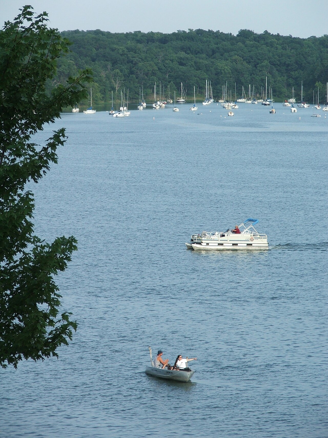
Lake Jacomo
Lake Jacomo is a reservoir of some 970 acres on the Blue Springs Lake, in Missouri. The lake is in Jackson County. Management is…
Reservoir
Smithville Lake
Smithville Lake covers about 7,190 acres of the Little Platte River in Missouri. It lies in Clay County. It is managed by USACE…
Reservoir
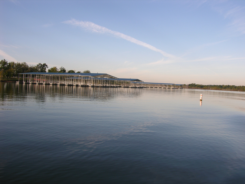
Hillsdale Lake
Hillsdale Lake covers about 4,580 acres of the Big Bull Creek → Marais des Cygnes River → Osage River in Kansas. Its shoreline…
Reservoir
Perry Lake
Perry Lake covers about 11,146 acres of the Delaware River in Kansas. Its shoreline falls inside Jefferson County. USACE Kansas…
Reservoir
Pomona Lake
Pomona Lake is a 4,000-acre reservoir on the Hundred and Ten Mile Creek in Kansas. It lies in Osage County. USACE Kansas City…
Reservoir
Harry S. Truman Lake
At roughly 55,600 acres, Harry S. Truman Lake is one of the lakes covered in Missouri. Its shoreline falls inside St. Clair…
Reservoir
Explore around Missouri
All lakes in Missouri Lakes near Prairie Village Lakes near Leawood
Sources
Every figure on this page comes from one of these public sources.