
CountiesPolk County
IowaReservoirPolk County
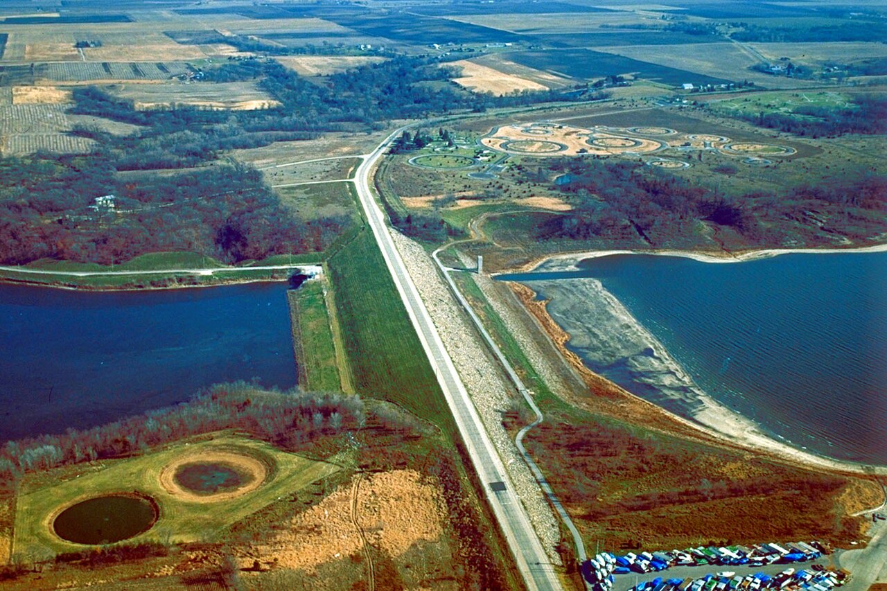
Saylorville Lake
Saylorville Lake is a reservoir of some 5,950 acres on the Des Moines River, in Iowa. You will find it in Polk County. USACE Rock Island District manages it.
Coordinates41.7269, -93.6997
Surface area5,950 acres
Full pool836.4 ft
RiverDes Moines River
Managed byUSACE Rock Island District
Swimming beaches on Saylorville Lake
No named swimming beach is mapped yet for this lake. Access is through agency day-use areas and boat ramps listed below. We add beach pages only when we can confirm a name, coordinates and an operating agency.
Saylorville Lake on the map
Lake center, swimming spots and access points.
Weather and water temperature
Air temperature and wind from Open-Meteo. Water temperature only when the lake has a public sensor.
Weather data by Open-Meteo
Planning a day at Saylorville Lake
On the map, Saylorville Lake is centered near 41.7269, -93.6997. The Des Moines River carries the outflow. The surface sits around 836 feet above sea level.
Public access at Saylorville Lake covers 17 public recreation areas and 1 boat ramp. Recreation areas nearby include Cherry Glen Camp, Oak Grove Beach and Cherry Glen Picnic. Launch points include Cherry Glen Boat Ramp.. Facilities vary from one access point to the next, so check before you rely on one.
Most Iowa day-use areas open for the summer season and close outside it. Algae blooms are seasonal and local: look for posted signs at the ramp or park entrance. There is no water temperature sensor here, so only air conditions are shown.
The closest lakes in this guide are Lake Panorama (Iowa, 36 mi), Lake Red Rock (Iowa, 40 mi) and Rathbun Lake (Iowa, 73 mi). In all, 10 lakes in Iowa are covered here.
This page shows no water level for Saylorville Lake because no agency publishes one that can be read automatically. Where an agency publishes a figure, we show it with the time it was taken; here there is none.
Recreation areas on Saylorville Lake
17 public recreation areas mapped around the lake by the U.S. Army Corps of Engineers. Facilities vary by area; check the managing office for opening dates and fees.
Cherry Glen Camp Oak Grove Beach Cherry Glen Picnic Oak Grove Picnic Walnut Ridge Lakeview South Lakeview Acorn Valley Prarie Flower Rec A Bob Shetler Rec Area Sandpiper Recreation Area Cottonwood Little League Park Polk County Access Sycamore Access Jester Lease Big Creek
Source: USACE Recreation Areas
Boat ramps and access points
Public launch points recorded around the lake. Low water can close shallow ramps, so check the level before hauling a trailer.
| Name | Operated by | Distance | Source |
|---|---|---|---|
| Cherry Glen Boat Ramp | USACE | 1.0 mi | source |
Ramp data: USACE Recreation Areas
Questions about Saylorville Lake
What is full pool at Saylorville Lake?
Full pool is 836.4 ft. Water above that level is flood storage and is released as conditions allow.
Is there a beach at Saylorville Lake?
No named swimming beach appears in the federal and state datasets this guide reads. Check the operating agency for day-use areas on the ground.
How big is Saylorville Lake?
About 5,950 acres.
What other lakes are near Saylorville Lake?
The closest in this guide is Lake Panorama, about 36 miles away in Iowa.
Lakes near Saylorville Lake
Other lakes in this guide, ordered by distance.
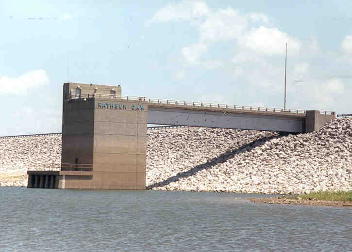
Rathbun Lake
Rathbun Lake is a 11,000-acre reservoir on the Chariton River in Iowa. Its shoreline falls inside Appanoose County. It is managed…
Reservoir1 beach
Clear Lake
Clear Lake is a 557-acre reservoir in Oregon. It lies in Lane County. It is managed by USFS Hood River Ranger District / USBR.…
Natural lake2 beaches
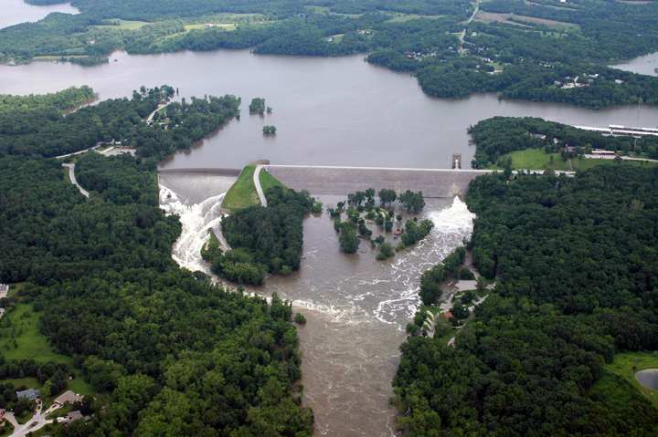
Coralville Lake
Coralville Lake is a 5,430-acre reservoir on the Iowa River in Iowa. Its shoreline falls inside Johnson County. It is managed by…
Reservoir
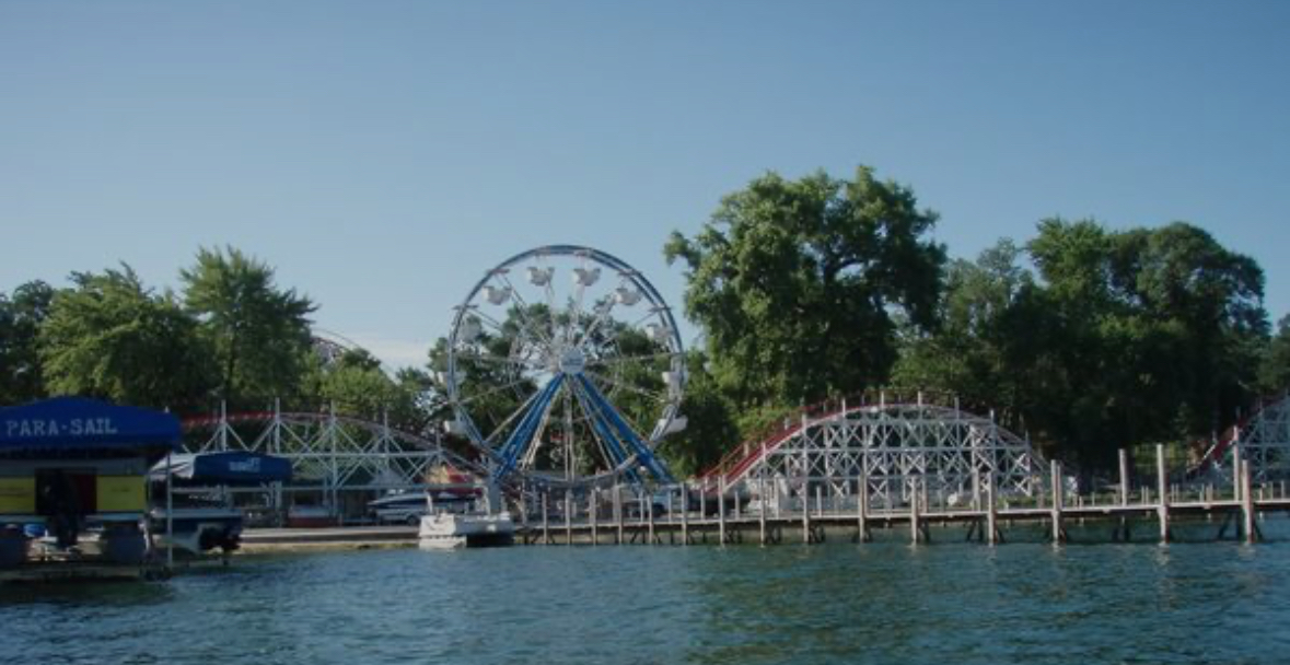
West Lake Okoboji
West Lake Okoboji is a 3,847-acre lake in Iowa. You will find it in Dickinson County. It is managed by Iowa DNR. The gauge last…
Natural lake27 beaches
Smithville Lake
Smithville Lake covers about 7,190 acres of the Little Platte River in Missouri. It lies in Clay County. It is managed by USACE…
Reservoir
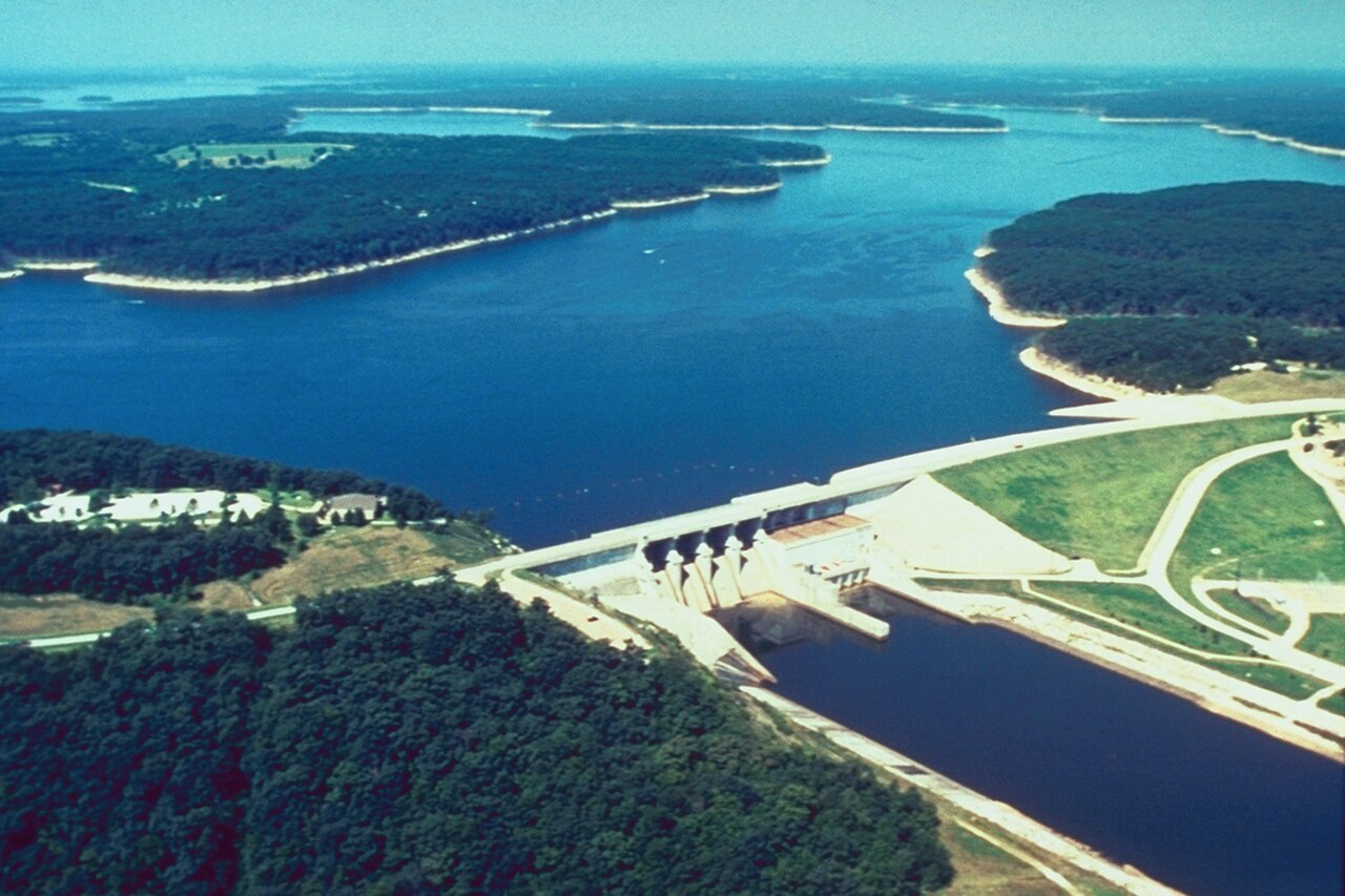
Mark Twain Lake
Mark Twain Lake covers about 18,600 acres of the Salt River in Missouri. The lake is in Monroe County. USACE St. Louis District…
Reservoir
Explore around Iowa
Sources
Every figure on this page comes from one of these public sources.