
CountiesJohnson County
IowaReservoirJohnson County
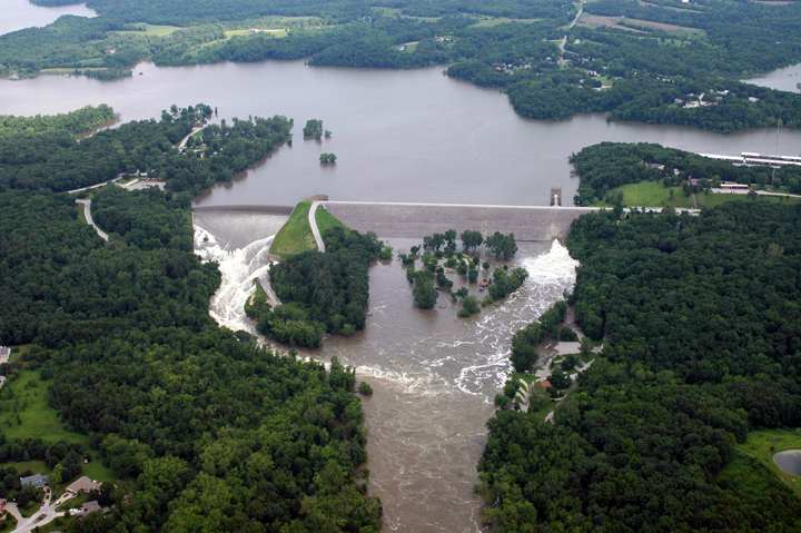
Coralville Lake
Coralville Lake is a 5,430-acre reservoir on the Iowa River in Iowa. Its shoreline falls inside Johnson County. It is managed by USACE Rock Island District.
Coordinates41.7244, -91.5297
Surface area5,430 acres
RiverIowa River
Managed byUSACE Rock Island District
Swimming beaches on Coralville Lake
No named swimming beach is mapped yet for this lake. Access is through agency day-use areas and boat ramps listed below. We add beach pages only when we can confirm a name, coordinates and an operating agency.
Coralville Lake on the map
Lake center, swimming spots and access points.
Weather and water temperature
Air temperature and wind from Open-Meteo. Water temperature only when the lake has a public sensor.
Weather data by Open-Meteo
A closer look at Coralville Lake
Its coordinates are 41.7244, -91.5297. The Iowa River carries the outflow.
Around Coralville Lake this guide maps 4 public recreation areas. Recreation areas nearby include Cottonwood, Turkey Creek Recreation Area and Linder Point. None is staffed by a lifeguard unless the managing agency posts one.
Algae blooms are seasonal and local: look for posted signs at the ramp or park entrance. Water temperature is not measured at this lake by any public agency we read. Swimming season in Iowa runs through the warm months, and day-use areas set their own opening dates.
Local marinas and park offices usually know the current state of the water better than any feed. Water level is missing from this page on purpose: no public feed covers Coralville Lake.
The closest lakes in this guide are Lake Macbride (Iowa, 5 mi), Lake Red Rock (Iowa, 82 mi) and Rathbun Lake (Iowa, 94 mi). In all, 10 lakes in Iowa are covered here.
Recreation areas on Coralville Lake
4 public recreation areas mapped around the lake by the U.S. Army Corps of Engineers. Facilities vary by area; check the managing office for opening dates and fees.
Cottonwood Turkey Creek Recreation Area Linder Point Squire Point
Source: USACE Recreation Areas
Questions about Coralville Lake
Is there a beach at Coralville Lake?
No named swimming beach appears in the federal and state datasets this guide reads. Check the operating agency for day-use areas on the ground.
How big is Coralville Lake?
About 5,430 acres.
What other lakes are near Coralville Lake?
The closest in this guide is Lake Macbride, about 5 miles away in Iowa.
Lakes near Coralville Lake
Other lakes in this guide, ordered by distance.
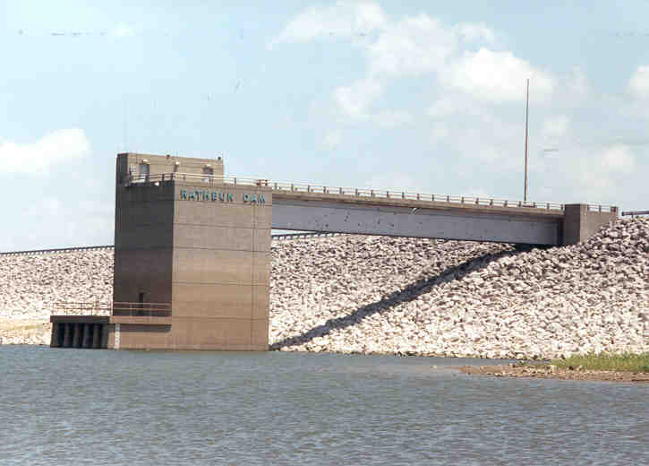
Rathbun Lake
Rathbun Lake is a 11,000-acre reservoir on the Chariton River in Iowa. Its shoreline falls inside Appanoose County. It is managed…
Reservoir1 beach
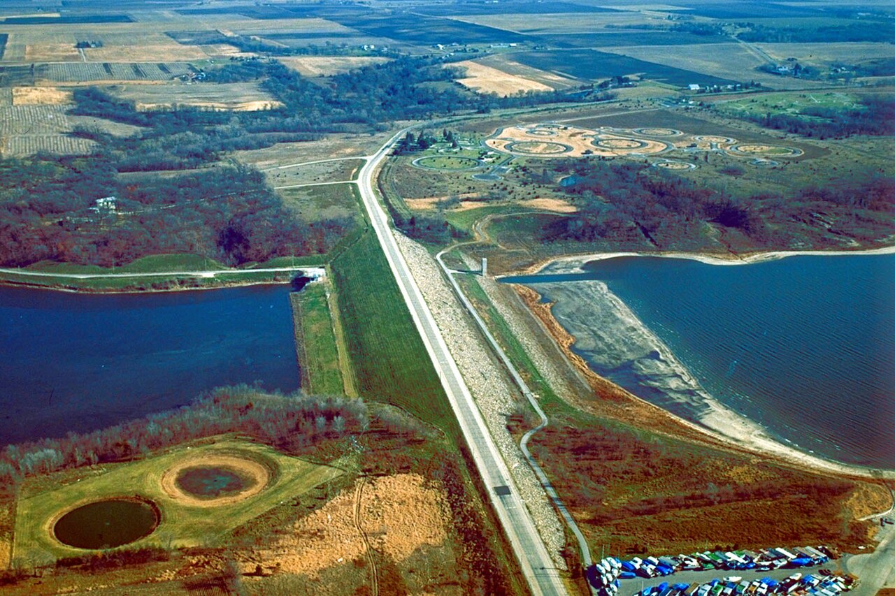
Saylorville Lake
Saylorville Lake is a reservoir of some 5,950 acres on the Des Moines River, in Iowa. You will find it in Polk County. USACE Rock…
Reservoir
Clear Lake
Clear Lake is a 557-acre reservoir in Oregon. It lies in Lane County. It is managed by USFS Hood River Ranger District / USBR.…
Natural lake2 beaches
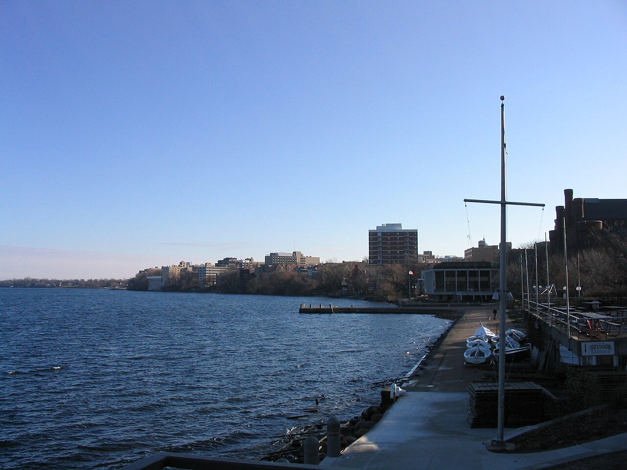
Lake Mendota
Lake Mendota covers about 9,736 acres of the Yahara River in Wisconsin. Its shoreline falls inside Dane County. WI DNR / Dane…
Natural lake3 beaches
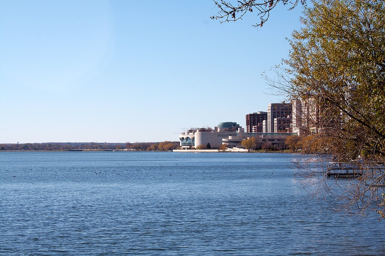
Lake Monona
Fed by the Yahara River, Lake Monona holds roughly 3,212 acres of water in Wisconsin. The lake is in Dane County. WI DNR / Dane…
Natural lake9 beaches
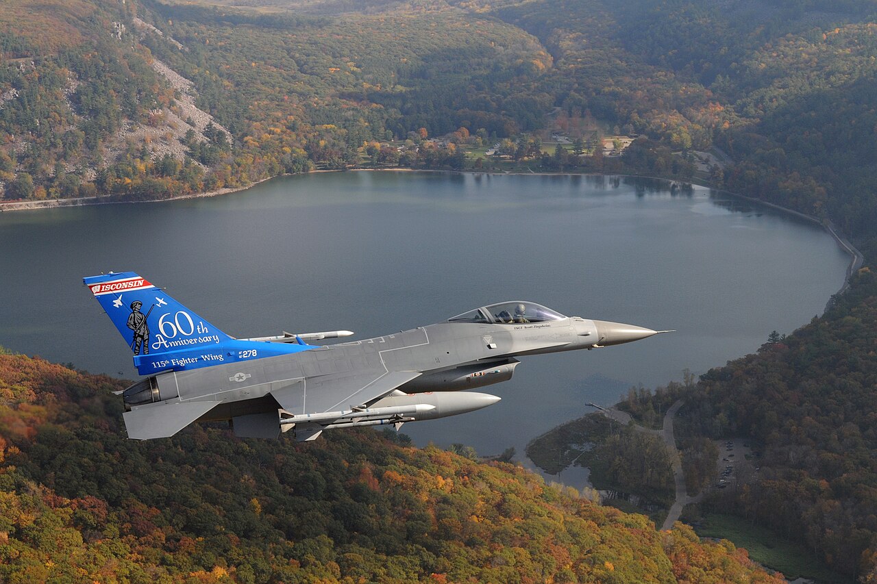
Devil's Lake
Devils Lake is a lake of some 374 acres on the outflow =, in Michigan. Its shoreline falls inside Sauk County. Michigan DNR…
Natural lake
Explore around Iowa
Sources
Every figure on this page comes from one of these public sources.