
CountiesAppanoose County
IowaReservoirAppanoose County
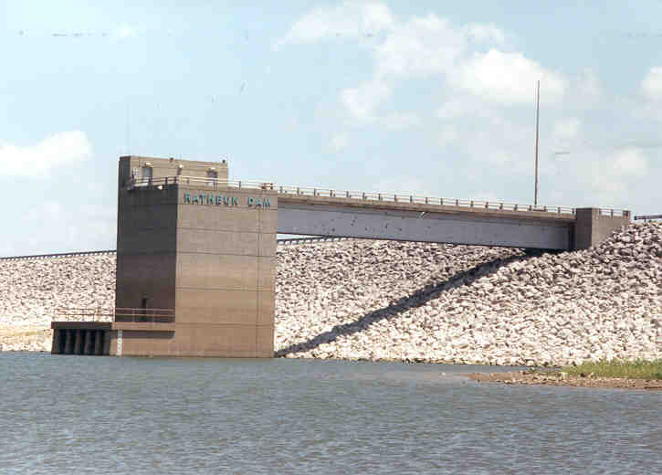
Rathbun Lake
Rathbun Lake is a 11,000-acre reservoir on the Chariton River in Iowa. Its shoreline falls inside Appanoose County. It is managed by USACE Kansas City District / Iowa DNR. The gauge last read 905.73 ft.
Coordinates40.8500, -92.9167
Surface area11,000 acres
RiverChariton River
Managed byUSACE Kansas City District / Iowa DNR
Swimming beaches on Rathbun Lake
1 named swimming spot and shoreline access points, from USGS GNIS, Recreation.gov and the Forest Service. None is staffed by a lifeguard unless the operating agency posts one.
Rathbun Lake on the map
Lake center, swimming spots and access points.
Weather and water temperature
Air temperature and wind from Open-Meteo. Water temperature only when the lake has a public sensor.
Weather data by Open-Meteo
Swimming at Rathbun Lake
On the map, Rathbun Lake is centered near 40.8500, -92.9167. Water leaves through the Chariton River.
The shoreline of Rathbun Lake has 1 named swimming spot and 7 public recreation areas in the datasets we read. These come from Recreation.gov (RIDB). They include Honey Creek Resort Park. Recreation areas nearby include Prairie Ridge, Honey Creek State Park and Rathbun Lake. None is staffed by a lifeguard unless the managing agency posts one.
No public sensor reports water temperature at Rathbun Lake, so the panel shows air temperature and wind. Inland lakes are not monitored the way ocean beaches are, so posted signs matter more here. Swimming season in Iowa runs through the warm months, and day-use areas set their own opening dates.
If Rathbun Lake is busy, the nearest alternatives here are Lake Red Rock (Iowa, 39 mi), Saylorville Lake (Iowa, 73 mi) and Long Branch Lake (Missouri, 76 mi). Iowa has 10 lakes on this site in total.
Station 06903880, Rathbun Lake near Rathbun, IA, publishes the water surface elevation used here. Over the record shown on the level page the gauge has moved between 904.16 ft and 910.99 ft (low on 2026-03-02, high on 2026-06-15). The last value stored here, 905.73 ft, is from 2026-09-09. A low pool exposes stumps and mud in the shallow arms of the lake.
Recreation areas on Rathbun Lake
7 public recreation areas mapped around the lake by the U.S. Army Corps of Engineers. Facilities vary by area; check the managing office for opening dates and fees.
Prairie Ridge Honey Creek State Park Rathbun Lake Buck Creek Island View Outlet Area Rolling Cove
Source: USACE Recreation Areas
Questions about Rathbun Lake
What is the current water level at Rathbun Lake?
The latest reading is 905.73 ft, from USGS gauge 06903880.
Can you swim in Rathbun Lake?
Yes. This guide maps 1 named swimming spot around the lake, including Honey Creek Resort Park. None is staffed by a lifeguard unless the operating agency posts one.
How big is Rathbun Lake?
About 11,000 acres.
What other lakes are near Rathbun Lake?
The closest in this guide is Lake Red Rock, about 39 miles away in Iowa.
Lakes near Rathbun Lake
Other lakes in this guide, ordered by distance.
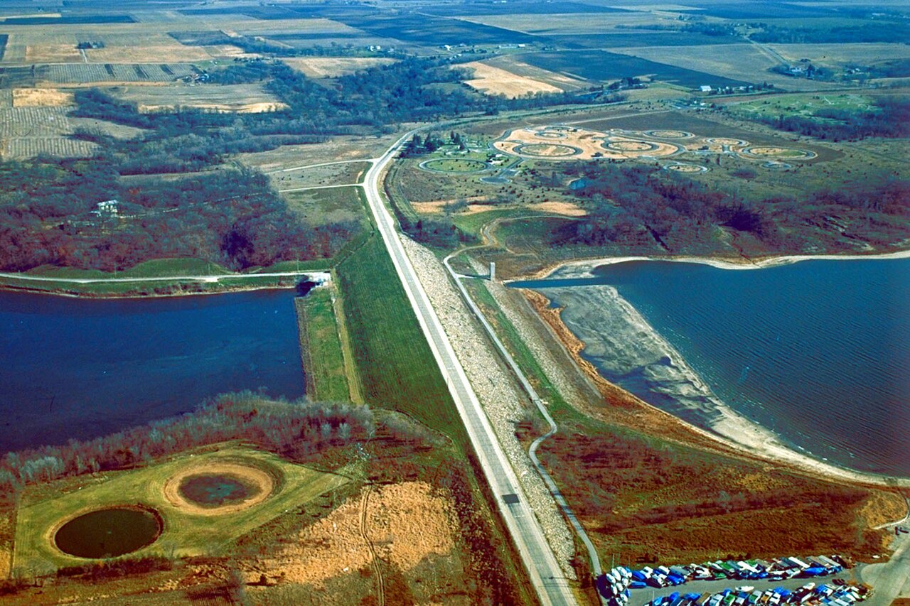
Saylorville Lake
Saylorville Lake is a reservoir of some 5,950 acres on the Des Moines River, in Iowa. You will find it in Polk County. USACE Rock…
Reservoir
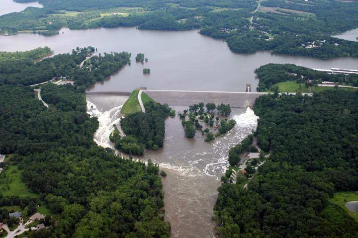
Coralville Lake
Coralville Lake is a 5,430-acre reservoir on the Iowa River in Iowa. Its shoreline falls inside Johnson County. It is managed by…
Reservoir
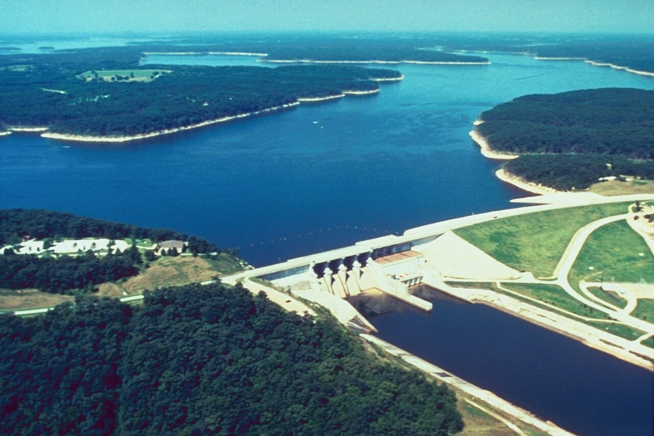
Mark Twain Lake
Mark Twain Lake covers about 18,600 acres of the Salt River in Missouri. The lake is in Monroe County. USACE St. Louis District…
Reservoir
Smithville Lake
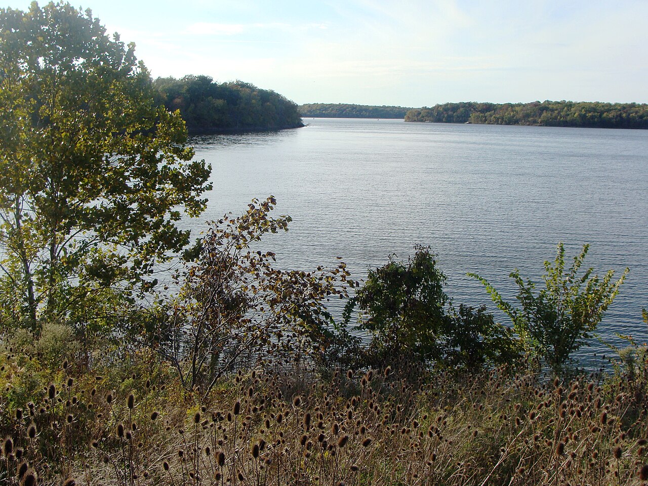
Smithville Lake covers about 7,190 acres of the Little Platte River in Missouri. It lies in Clay County. It is managed by USACE…
Reservoir
Blue Springs Lake
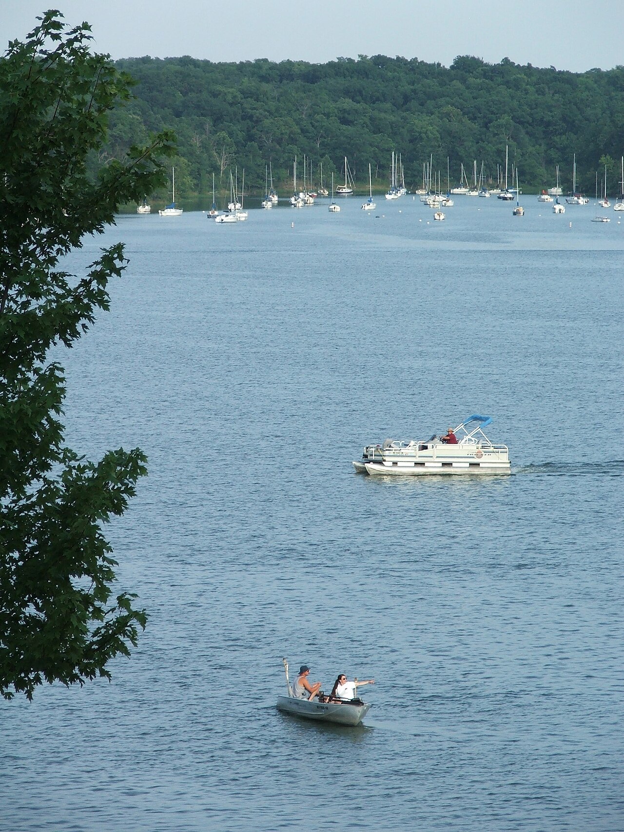
Blue Springs Lake is a 720-acre reservoir on the east fork Little Blue River in Missouri. You will find it in Jackson County.…
Reservoir
Lake Jacomo
Lake Jacomo is a reservoir of some 970 acres on the Blue Springs Lake, in Missouri. The lake is in Jackson County. Management is…
Reservoir
Explore around Iowa
Sources
Every figure on this page comes from one of these public sources.