
CountiesDickinson County
IowaNatural lakeDickinson County
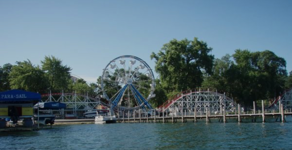
West Lake Okoboji
West Lake Okoboji is a 3,847-acre lake in Iowa. You will find it in Dickinson County. It is managed by Iowa DNR. The gauge last read 4.21 ft.
Coordinates43.3844, -95.1594
Surface area3,847 acres
Managed byIowa DNR
Swimming beaches on West Lake Okoboji
27 named swimming spots and shoreline access points, from USGS GNIS, Recreation.gov and the Forest Service. None is staffed by a lifeguard unless the operating agency posts one.
West Lake Okoboji on the map
Lake center, swimming spots and access points.
Weather and water temperature
Air temperature and wind from Open-Meteo. Water temperature only when the lake has a public sensor.
Weather data by Open-Meteo · water temperature from USGS
West Lake Okoboji at a glance
If West Lake Okoboji is busy, the nearest alternatives here are Big Spirit Lake (Iowa, 7 mi), Storm Lake (Iowa, 51 mi) and Black Hawk Lake (Iowa, 75 mi). In all, 10 lakes in Iowa are covered here.
Around West Lake Okoboji this guide maps 27 named swimming spots. Among them are Dixon Beach, Manhattan Beach and Papoose Beach. These come from USGS GNIS. Parking is the usual limit on busy summer weekends.
Readings come from station 06604200 (West Okoboji Lake at Lakeside Lab near Milford, IA). Over the record shown on the level page the gauge has moved between 3.82 ft and 4.76 ft (low on 2025-11-11, high on 2025-08-20). The last value stored here, 4.21 ft, is from 2026-09-09. When the pool drops, shoreline beaches grow and shallow ramps can run out of concrete.
Season dates vary by park; the operating agency publishes them each spring. Water quality is monitored unevenly on inland lakes, so posted notices are the most reliable guide. The same station reports water temperature, last read at 49.3 °F.
Questions about West Lake Okoboji
What is the current water level at West Lake Okoboji?
The latest reading is 4.21 ft, from USGS gauge 06604200.
Can you swim in West Lake Okoboji?
Yes. This guide maps 27 named swimming spots around the lake, including Dixon Beach and Manhattan Beach. None is staffed by a lifeguard unless the operating agency posts one.
How big is West Lake Okoboji?
About 3,847 acres.
What is the water temperature at West Lake Okoboji?
The sensor last read 49.3 °F. The page refreshes it from the gauge when you load it.
What other lakes are near West Lake Okoboji?
The closest in this guide is Big Spirit Lake, about 7 miles away in Iowa.
Lakes near West Lake Okoboji
Other lakes in this guide, ordered by distance.
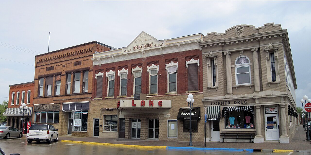
Clear Lake
Clear Lake is a 557-acre reservoir in Oregon. It lies in Lane County. It is managed by USFS Hood River Ranger District / USBR.…
Natural lake2 beaches
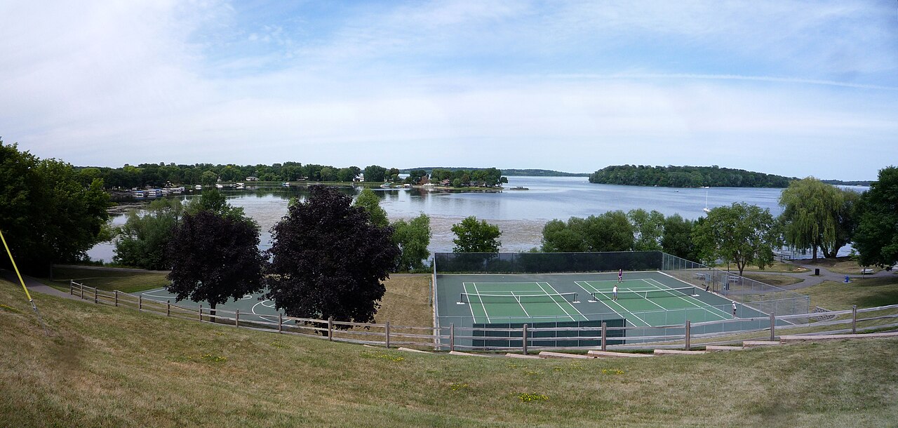
Lake Waconia
Lake Waconia is a 3,080-acre lake in Minnesota. You will find it in Carver County. It is managed by MN DNR / Carver County.
Natural lake
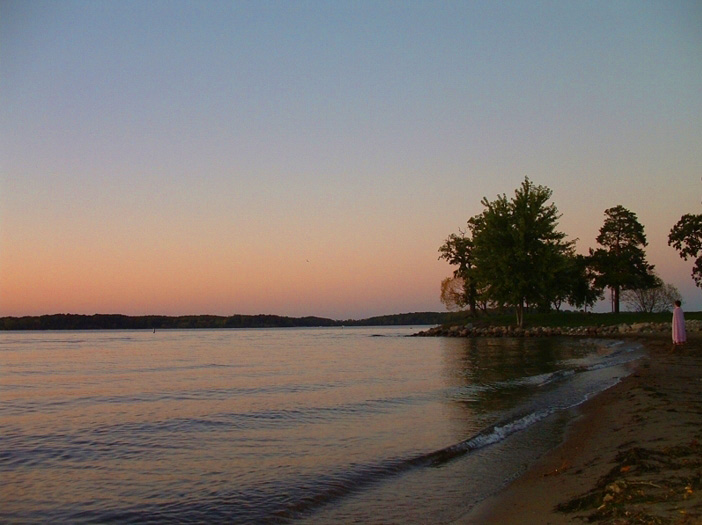
Lake Minnetonka
Fed by the Minnehaha Creek, Lake Minnetonka holds roughly 14,579 acres of water in Minnesota. The lake is in Hennepin County. It…
Natural lake
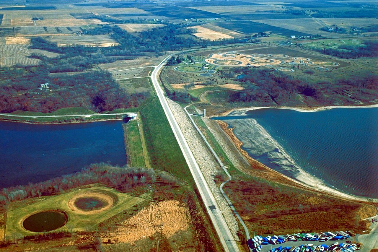
Saylorville Lake
Saylorville Lake is a reservoir of some 5,950 acres on the Des Moines River, in Iowa. You will find it in Polk County. USACE Rock…
Reservoir
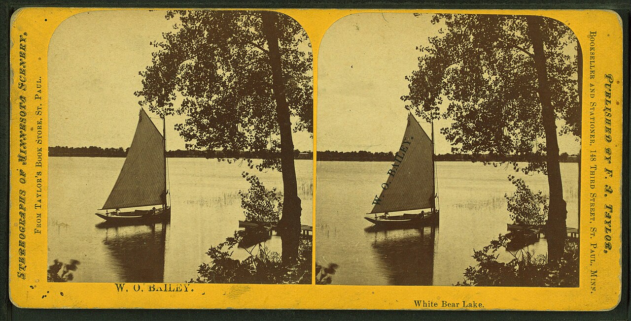
White Bear Lake
White Bear Lake is a 2,439-acre lake on the catchment = in Minnesota. The lake is in Washington County. WBLCD / MN DNR manages it.
Natural lake
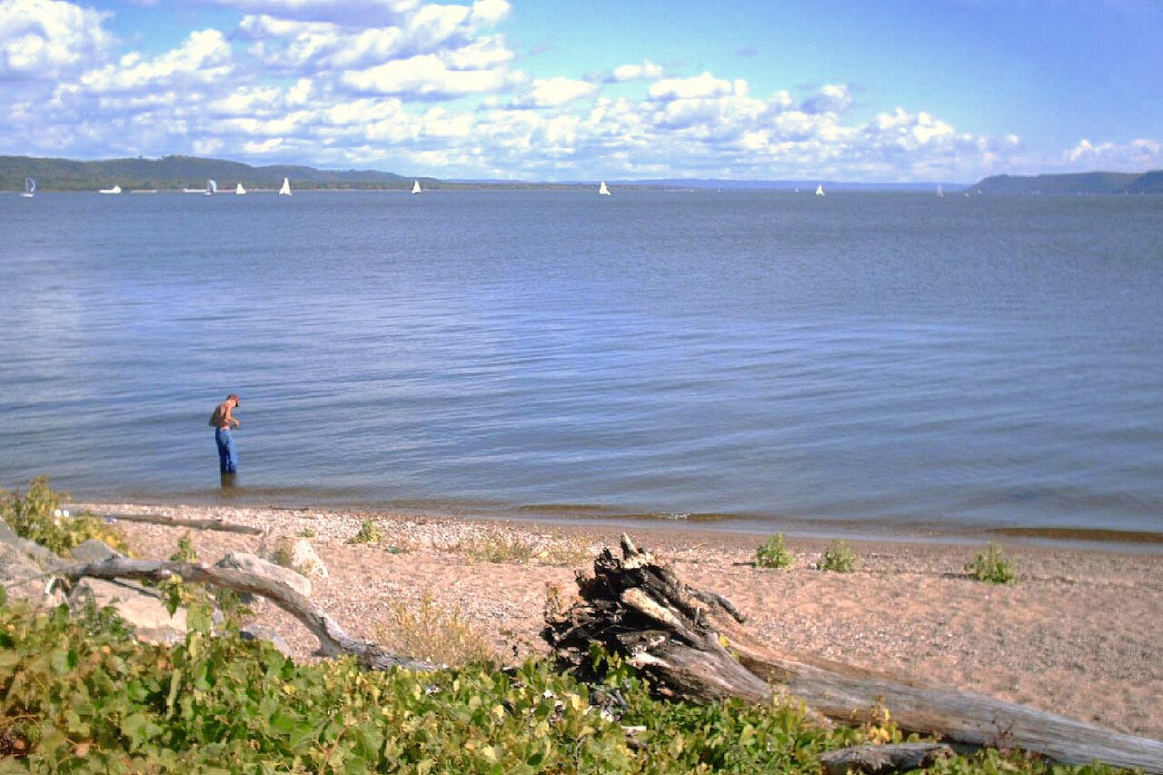
Lake Pepin
Lake Pepin covers about 25,600 acres of the Mississippi River in Minnesota. Its shoreline falls inside Pierce County. Management…
Natural lake
Explore around Iowa
All lakes in Iowa Swimming spots in Iowa Lakes near Worthington
Sources
Every figure on this page comes from one of these public sources.