
CountiesDane County
WisconsinNatural lakeDane County
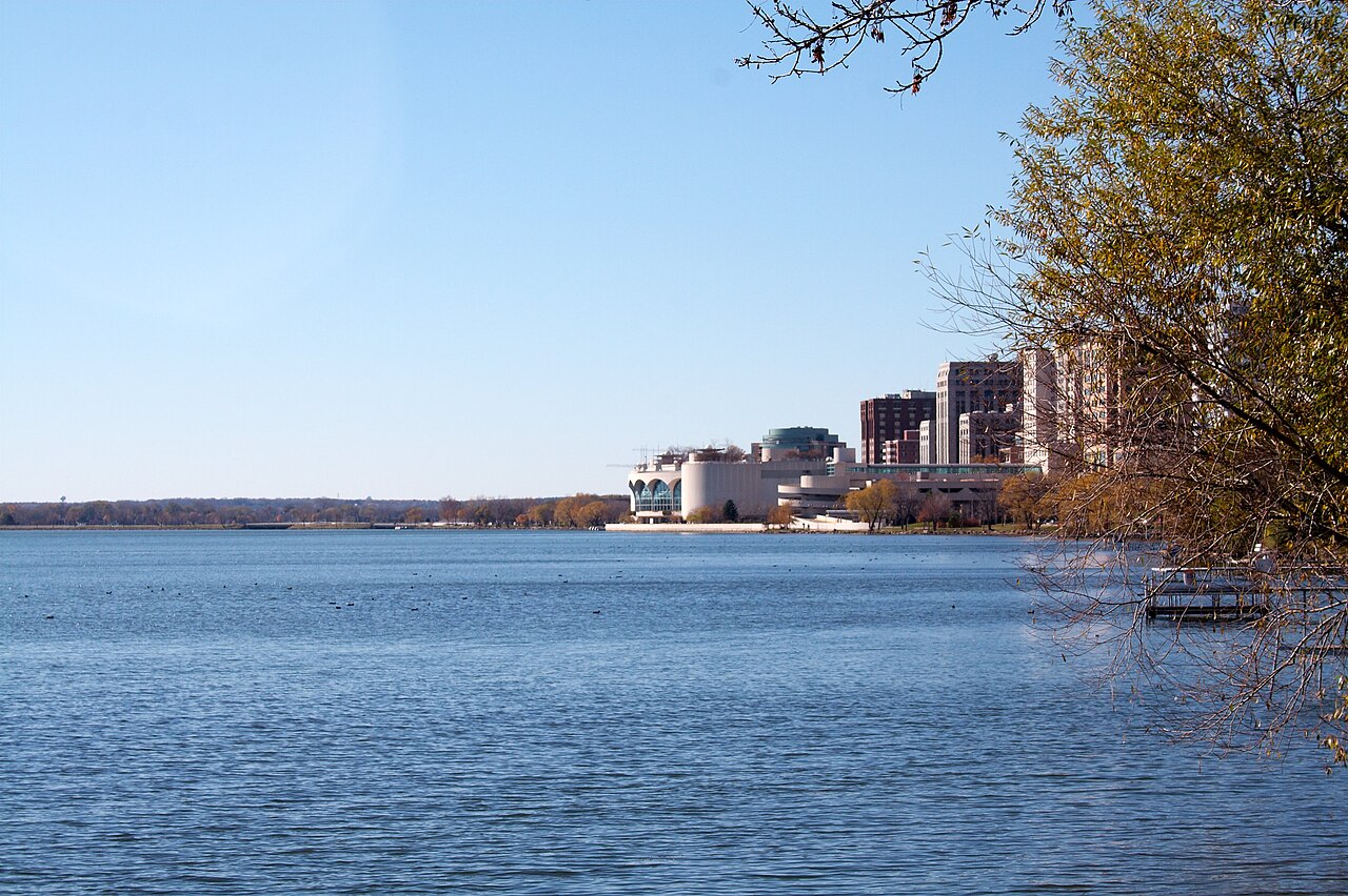
Lake Monona
Fed by the Yahara River, Lake Monona holds roughly 3,212 acres of water in Wisconsin. The lake is in Dane County. WI DNR / Dane County manages it. The gauge last read 845.00 ft.
Water level today: 845.00 ft · see the full record
Coordinates43.0655, -89.3624
Surface area3,212 acres
Max depth69 ft
RiverYahara River
Managed byWI DNR / Dane County
Swimming beaches on Lake Monona
9 named swimming spots and shoreline access points, from USGS GNIS, Recreation.gov and the Forest Service. None is staffed by a lifeguard unless the operating agency posts one.
Lake Monona on the map
Lake center, swimming spots and access points.
Weather and water temperature
Air temperature and wind from Open-Meteo. Water temperature only when the lake has a public sensor.
Weather data by Open-Meteo · water temperature from USGS
Water level today
The level comes from gauge 05429000, LAKE MONONA AT MADISON, WI, and carries the time it was taken. The last value stored here, 845.00 ft, is from 2026-09-09. Check the reading the morning you go if your plan depends on a specific ramp.
845.00 ft trend not available
What to know before you go to Lake Monona
Its coordinates are 43.0655, -89.3624. The deepest point on record is about 69 feet. It lies at roughly 846 feet of elevation.
If Lake Monona is busy, the nearest alternatives here are Lake Mendota (Wisconsin, 4 mi), Lake Waubesa (Wisconsin, 4 mi) and Lake Kegonsa (Wisconsin, 9 mi). Wisconsin has 34 lakes on this site in total.
Water quality is monitored unevenly on inland lakes, so posted notices are the most reliable guide. The same station reports water temperature, last read at 73.8 °F. Swimming season in Wisconsin runs through the warm months, and day-use areas set their own opening dates.
The level comes from gauge 05429000, LAKE MONONA AT MADISON, WI, and carries the time it was taken. The last value stored here, 845.00 ft, is from 2026-09-09. Check the reading the morning you go if your plan depends on a specific ramp.
The shoreline of Lake Monona has 9 named swimming spots in the datasets we read. These come from USGS GNIS. They include B B Clarke Beach, Olin Beach and Esther Beach. Parking is the usual limit on busy summer weekends.
Questions about Lake Monona
Can you swim in Lake Monona?
Yes. This guide maps 9 named swimming spots around the lake, including B B Clarke Beach and Olin Beach. None is staffed by a lifeguard unless the operating agency posts one.
How big is Lake Monona?
About 3,212 acres. Maximum depth is around 69 feet.
What is the water temperature at Lake Monona?
The sensor last read 73.8 °F. The page refreshes it from the gauge when you load it.
What other lakes are near Lake Monona?
The closest in this guide is Lake Mendota, about 4 miles away in Wisconsin.
Lakes near Lake Monona
Other lakes in this guide, ordered by distance.
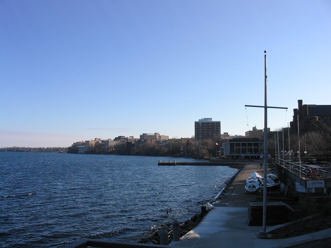
Lake Mendota
Lake Mendota covers about 9,736 acres of the Yahara River in Wisconsin. Its shoreline falls inside Dane County. WI DNR / Dane…
Natural lake3 beaches
Lake Koshkonong
Lake Koshkonong covers about 10,460 acres of the Rock River in Wisconsin. The lake is in Jefferson County. Rock-Koshkonong Lake…
Reservoir
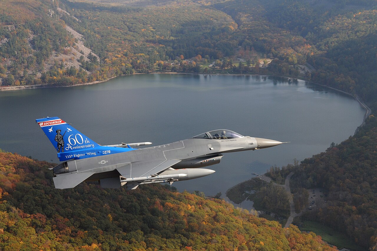
Devil's Lake
Devils Lake is a lake of some 374 acres on the outflow =, in Michigan. Its shoreline falls inside Sauk County. Michigan DNR…
Natural lake
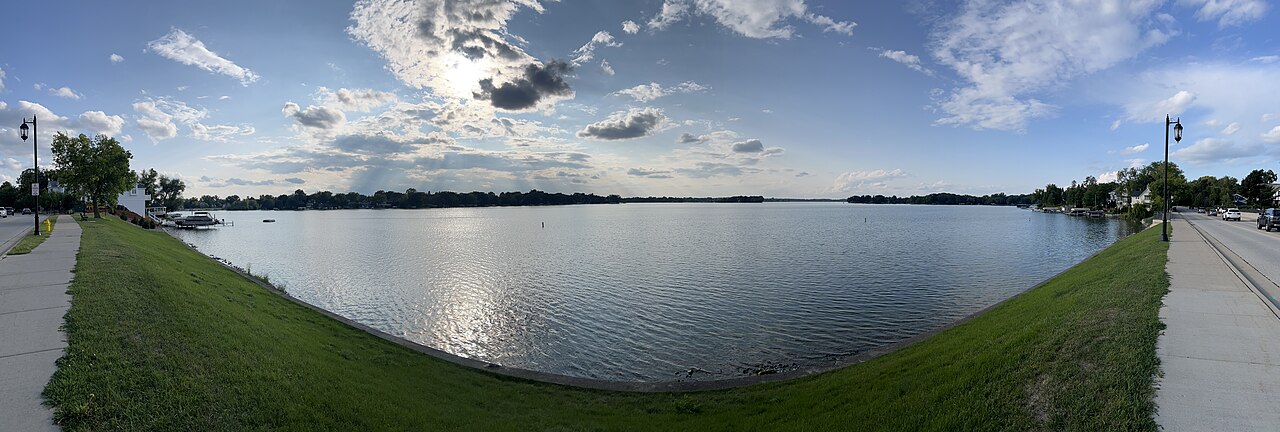
Lac La Belle
Fed by the Oconomowoc River, Lac La Belle holds roughly 1,154 acres of water in Wisconsin. You will find it in Waukesha County.…
Natural lake2 beaches
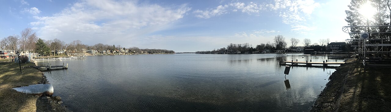
Okauchee Lake
Okauchee Lake is a reservoir of some 1,210 acres on the Oconomowoc River, in Wisconsin. It lies in Waukesha County. It is managed…
Reservoir
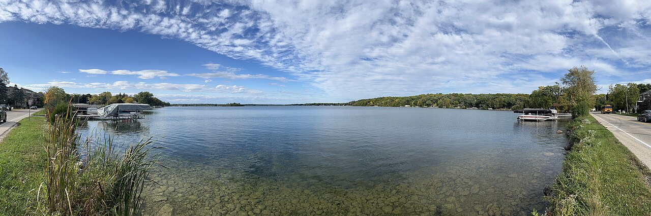
Nagawicka Lake
Nagawicka Lake covers about 981 acres in Wisconsin. The lake is in Waukesha County. Management is in the hands of Waukesha County…
Natural lake
Explore around Wisconsin
All lakes in Wisconsin Swimming spots in Wisconsin Lakes near Madison Lakes near Fitchburg
Sources
Every figure on this page comes from one of these public sources.