
CountiesValley County
IdahoNatural lakeValley County
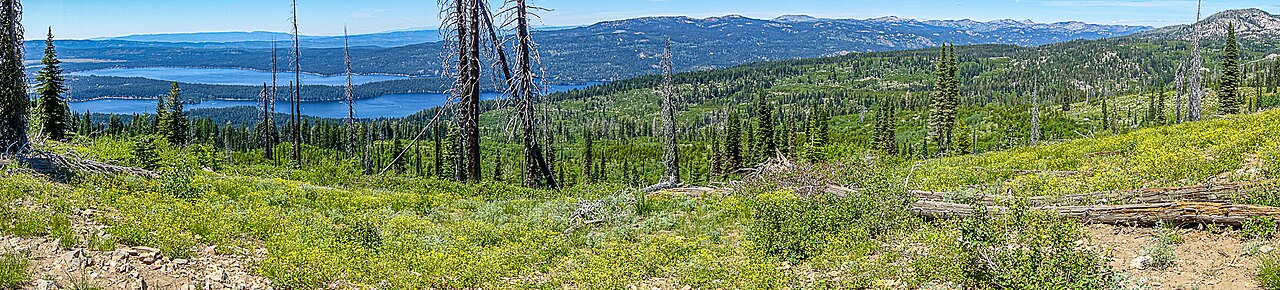
Payette Lake
Payette Lake covers about 4,987 acres of the North Fork Payette River in Idaho. You will find it in Valley County. It is managed by IDPR / City of McCall. The gauge last read 5.55 ft.
Coordinates44.9467, -116.0853
Surface area4,987 acres
Max depth304 ft
RiverNorth Fork Payette River
Managed byIDPR / City of McCall
Swimming beaches on Payette Lake
2 named swimming spots and shoreline access points, from USGS GNIS, Recreation.gov and the Forest Service. None is staffed by a lifeguard unless the operating agency posts one.
Payette Lake on the map
Lake center, swimming spots and access points.
Weather and water temperature
Air temperature and wind from Open-Meteo. Water temperature only when the lake has a public sensor.
Weather data by Open-Meteo
Payette Lake in Idaho
On the map, Payette Lake is centered near 44.9467, -116.0853. It reaches roughly 304 feet at its deepest. The surface sits around 4,987 feet above sea level.
Station 13238500, PAYETTE LAKE AT MCCALL ID, publishes the water surface elevation used here. The last value stored here, 5.55 ft, is from 2026-09-09. A low pool exposes stumps and mud in the shallow arms of the lake.
Around Payette Lake this guide maps 2 named swimming spots. These come from USGS GNIS. Among them are Sylvan Beach and North Beach. Parking is the usual limit on busy summer weekends.
The closest lakes in this guide are Lake Cascade (Idaho, 24 mi), Brownlee Reservoir (Idaho, 46 mi) and Deadwood Reservoir (Idaho, 50 mi). Idaho has 26 lakes on this site in total.
There is no water temperature sensor here, so only air conditions are shown. Freshwater advisories are issued locally, so check the state health department before you swim. Season dates vary by park; the operating agency publishes them each spring.
Questions about Payette Lake
What is the current water level at Payette Lake?
The latest reading is 5.55 ft, from USGS gauge 13238500.
Can you swim in Payette Lake?
Yes. This guide maps 2 named swimming spots around the lake, including Sylvan Beach and North Beach. None is staffed by a lifeguard unless the operating agency posts one.
How big is Payette Lake?
About 4,987 acres. Maximum depth is around 304 feet.
What other lakes are near Payette Lake?
The closest in this guide is Lake Cascade, about 24 miles away in Idaho.
Lakes near Payette Lake
Other lakes in this guide, ordered by distance.
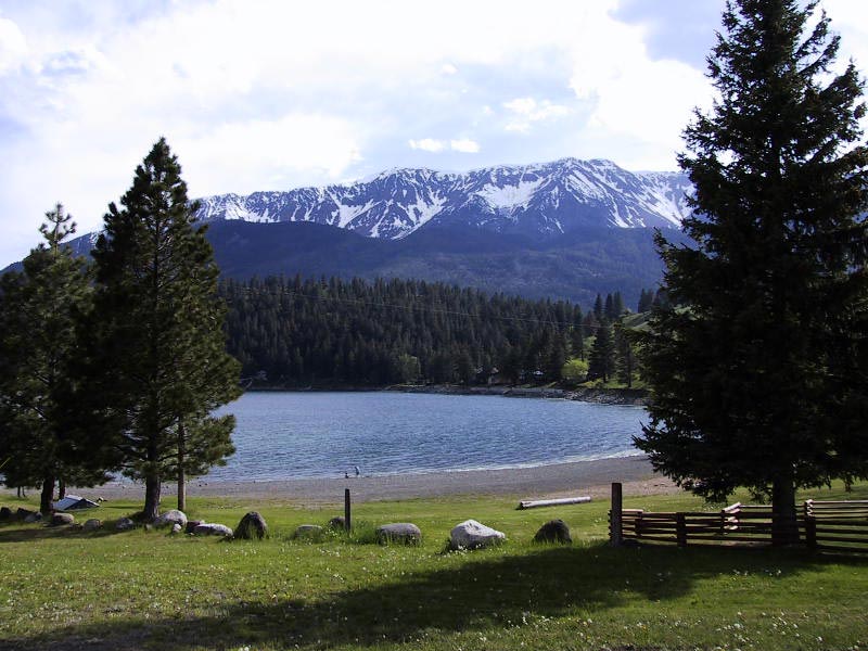
Wallowa Lake
Fed by the Wallowa River, Wallowa Lake holds roughly 1,508 acres of water in Oregon. You will find it in Wallowa County.…
Natural lake
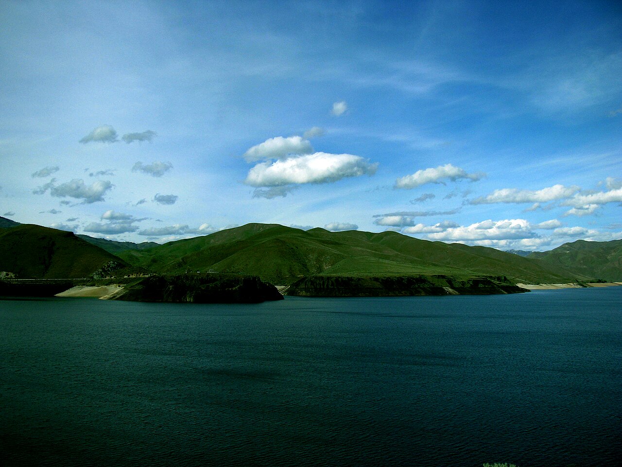
Lucky Peak Lake
Fed by the Boise River, Lucky Peak Lake holds roughly 2,820 acres of water in Idaho. It lies in Ada County. Management is in the…
Reservoir1 beach
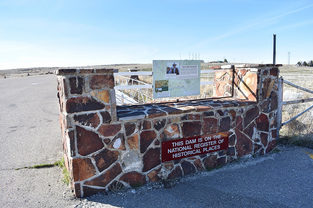
Lake Lowell
Lake Lowell covers about 9,025 acres in Idaho. It lies in Canyon County. USFWS Deer Flat NWR manages it. This guide maps 1 named…
Reservoir1 beach
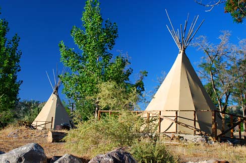
Lake Owyhee
Lake Owyhee covers about 13,900 acres in Oregon. The lake is in Malheur County. Oregon Parks & Recreation Department (Lake Owyhee…
Reservoir
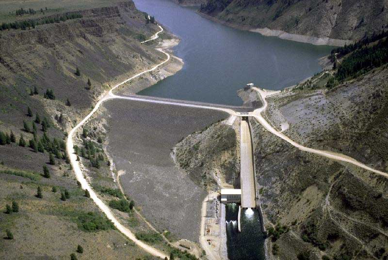
Anderson Ranch Reservoir
Anderson Ranch Reservoir covers about 4,815 acres in Idaho. The lake is in Elmore County. USFS / USBR manages it. The gauge last…
Reservoir
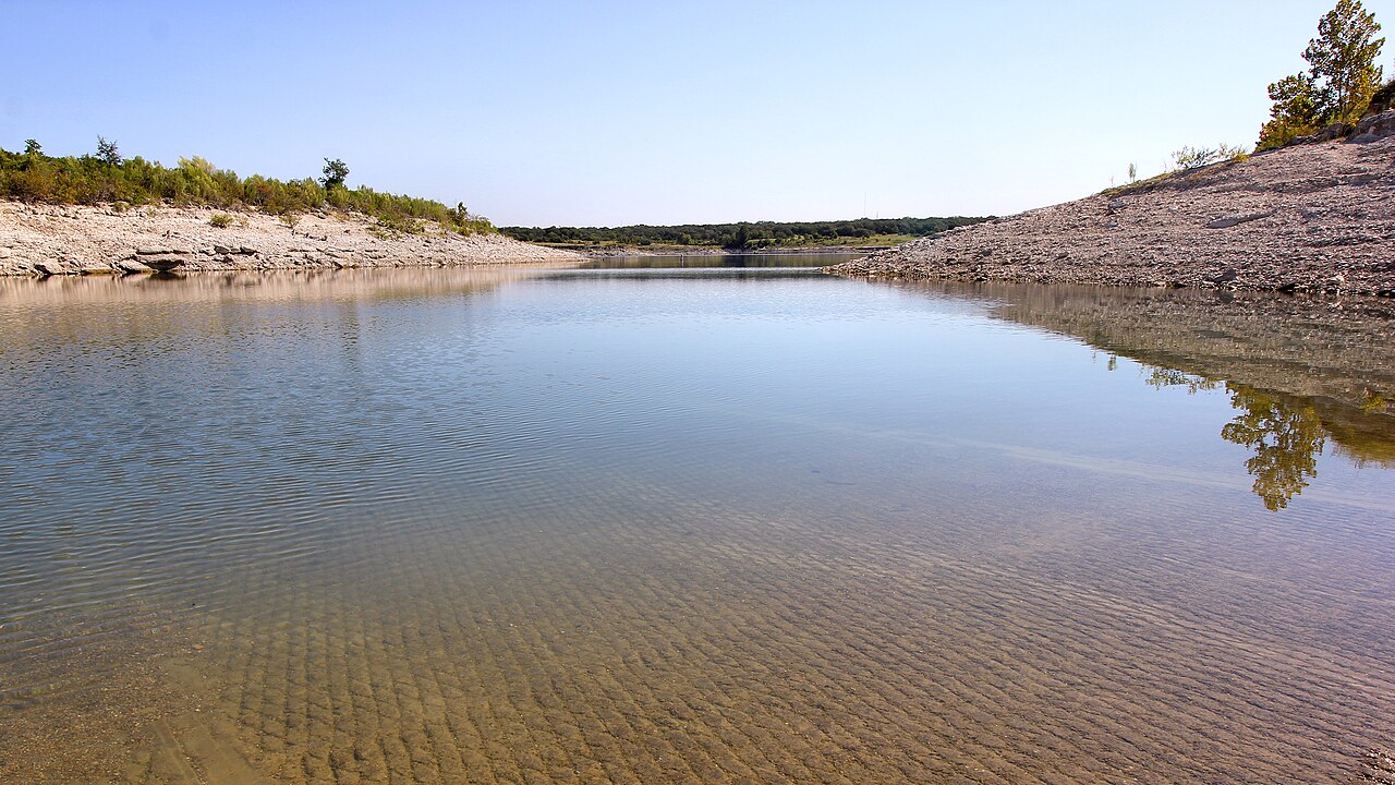
Georgetown Lake
Georgetown Lake is a 2,818-acre reservoir on the North Fork Flint Creek in Montana. It lies in Granite County. Management is in…
Reservoir1 beach
Explore around Idaho
Sources
Every figure on this page comes from one of these public sources.