
CountiesElmore County
IdahoReservoirElmore County
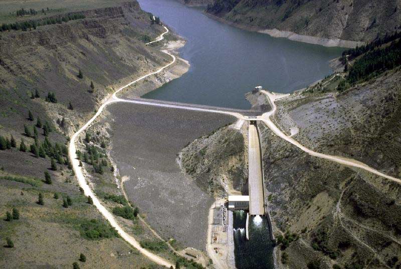
Anderson Ranch Reservoir
Anderson Ranch Reservoir covers about 4,815 acres in Idaho. The lake is in Elmore County. USFS / USBR manages it. The gauge last read 4,154.04 ft.
Coordinates43.3981, -115.3625
Surface area4,815 acres
Managed byUSFS / USBR
Swimming beaches on Anderson Ranch Reservoir
No named swimming beach is mapped yet for this lake. Access is through agency day-use areas and boat ramps listed below. We add beach pages only when we can confirm a name, coordinates and an operating agency.
Anderson Ranch Reservoir on the map
Lake center, swimming spots and access points.
Weather and water temperature
Air temperature and wind from Open-Meteo. Water temperature only when the lake has a public sensor.
Weather data by Open-Meteo
Swimming at Anderson Ranch Reservoir
Anderson Ranch Reservoir has no catalogued swimming beach in the sources we read, so plan around the managing agency's own facilities. Where there is no marked beach, entry is usually from a boat ramp or an unimproved bank. The nearest mapped swimming spot is Sandy Point Beach on Lucky Peak Lake, roughly 36 miles away.
No public sensor reports water temperature at Anderson Ranch Reservoir, so the panel shows air temperature and wind. Inland lakes are not monitored the way ocean beaches are, so posted signs matter more here. Swimming season in Idaho runs through the warm months, and day-use areas set their own opening dates.
Nearby water includes Arrowrock Reservoir (Idaho, 28 mi), Lucky Peak Lake (Idaho, 35 mi) and C.J. Strike Reservoir (Idaho, 43 mi). In all, 26 lakes in Idaho are covered here.
Station 13190000, ANDERSON RANCH RES AT ANDERSON RANCH DAM ID, publishes the water surface elevation used here. The last value stored here, 4,154.04 ft, is from 2026-09-09. Water level decides what is usable on the shoreline, from beach width to ramp access.
Questions about Anderson Ranch Reservoir
What is the current water level at Anderson Ranch Reservoir?
The latest reading is 4,154.04 ft, from USGS gauge 13190000.
Is there a beach at Anderson Ranch Reservoir?
No named swimming beach appears in the federal and state datasets this guide reads. Check the operating agency for day-use areas on the ground.
How big is Anderson Ranch Reservoir?
About 4,815 acres.
What other lakes are near Anderson Ranch Reservoir?
The closest in this guide is Arrowrock Reservoir, about 28 miles away in Idaho.
Lakes near Anderson Ranch Reservoir
Other lakes in this guide, ordered by distance.
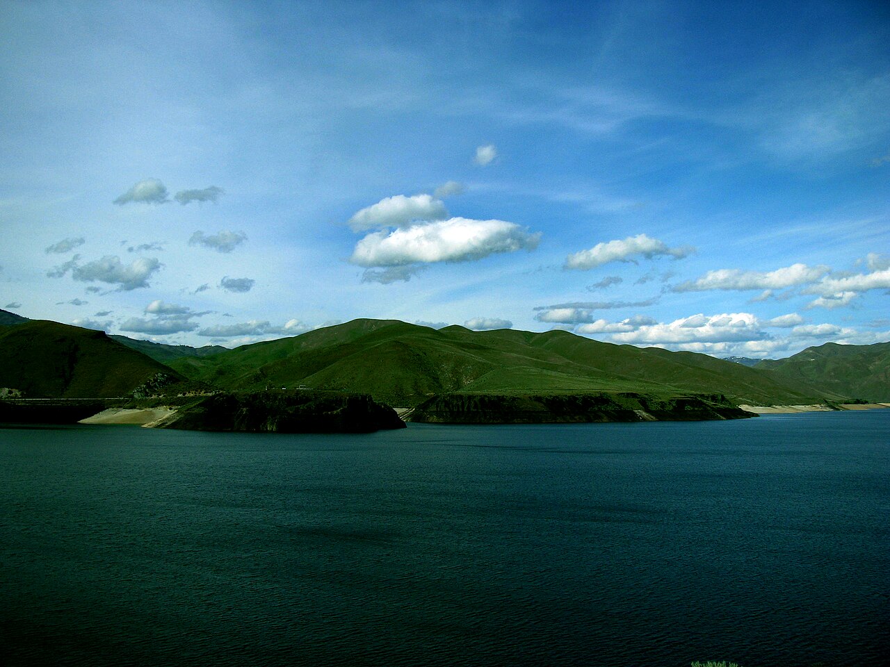
Lucky Peak Lake
Fed by the Boise River, Lucky Peak Lake holds roughly 2,820 acres of water in Idaho. It lies in Ada County. Management is in the…
Reservoir1 beach
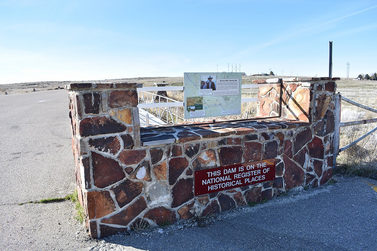
Lake Lowell
Lake Lowell covers about 9,025 acres in Idaho. It lies in Canyon County. USFWS Deer Flat NWR manages it. This guide maps 1 named…
Reservoir1 beach
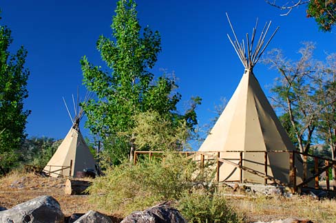
Lake Owyhee
Lake Owyhee covers about 13,900 acres in Oregon. The lake is in Malheur County. Oregon Parks & Recreation Department (Lake Owyhee…
Reservoir
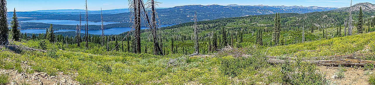
Payette Lake
Payette Lake covers about 4,987 acres of the North Fork Payette River in Idaho. You will find it in Valley County. It is managed…
Natural lake2 beaches
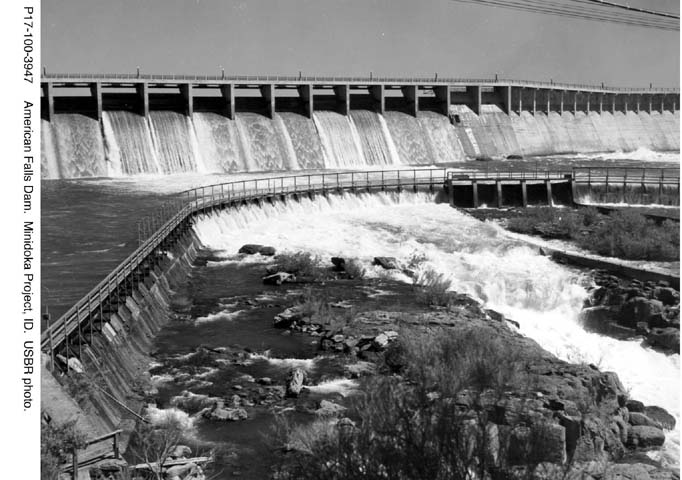
American Falls Reservoir
American Falls Reservoir covers about 56,000 acres of the Snake River in Idaho. Its shoreline falls inside Bannock County. US…
Reservoir2 beaches
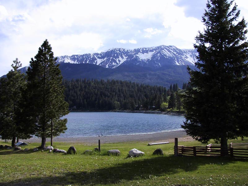
Wallowa Lake
Fed by the Wallowa River, Wallowa Lake holds roughly 1,508 acres of water in Oregon. You will find it in Wallowa County.…
Natural lake
Explore around Idaho
Sources
Every figure on this page comes from one of these public sources.