
CountiesWallowa County
OregonNatural lakeWallowa County
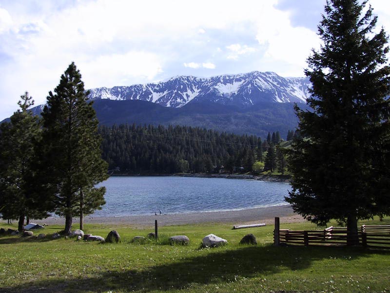
Wallowa Lake
Fed by the Wallowa River, Wallowa Lake holds roughly 1,508 acres of water in Oregon. You will find it in Wallowa County. Management is in the hands of Oregon State Parks.
Coordinates45.3089, -117.2106
Surface area1,508 acres
Max depth299 ft
RiverWallowa River
Managed byOregon State Parks
Swimming beaches on Wallowa Lake
No named swimming beach is mapped yet for this lake. Access is through agency day-use areas and boat ramps listed below. We add beach pages only when we can confirm a name, coordinates and an operating agency.
Wallowa Lake on the map
Lake center, swimming spots and access points.
Weather and water temperature
Air temperature and wind from Open-Meteo. Water temperature only when the lake has a public sensor.
Weather data by Open-Meteo
Planning a day at Wallowa Lake
The center of the lake is at 45.3089, -117.2106. Maximum depth is around 299 feet. It lies at roughly 4,372 feet of elevation.
Water level is missing from this page on purpose: no public feed covers Wallowa Lake. Where an agency publishes a figure, we show it with the time it was taken; here there is none.
Nearby water includes Thief Valley Reservoir (Oregon, 35 mi), Brownlee Reservoir (Idaho, 39 mi) and Willow Creek Lake (Oregon, 52 mi). Oregon has 48 lakes on this site in total.
Absence from these datasets does not mean the water is closed, only that no agency lists a beach. The nearest mapped swimming spot is Southern Elkhorn Mtn/Powder River Basin Area on Phillips Lake, roughly 59 miles away. No agency lists a named swimming spot at Wallowa Lake. Shoreline access here is likely informal.
Check the operating agency for advisories before any water contact, especially for blue-green algae in late summer. Most Oregon day-use areas open for the summer season and close outside it. There is no water temperature sensor here, so only air conditions are shown.
Questions about Wallowa Lake
Is there a beach at Wallowa Lake?
No named swimming beach appears in the federal and state datasets this guide reads. Check the operating agency for day-use areas on the ground.
How big is Wallowa Lake?
About 1,508 acres. Maximum depth is around 299 feet.
What other lakes are near Wallowa Lake?
The closest in this guide is Thief Valley Reservoir, about 35 miles away in Oregon.
Lakes near Wallowa Lake
Other lakes in this guide, ordered by distance.
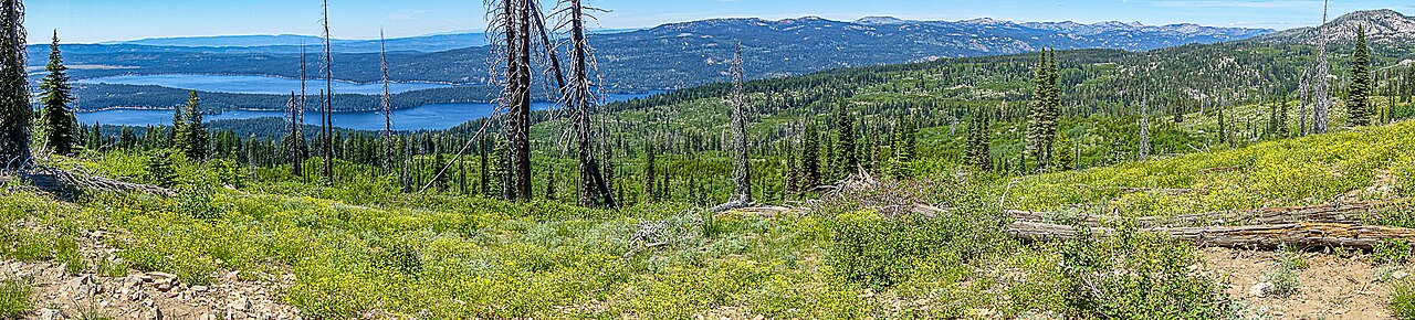
Payette Lake
Payette Lake covers about 4,987 acres of the North Fork Payette River in Idaho. You will find it in Valley County. It is managed…
Natural lake2 beaches
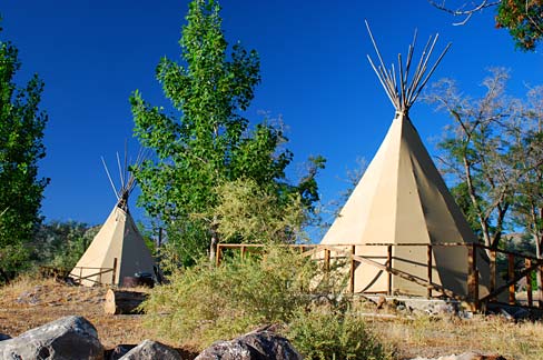
Lake Owyhee
Lake Owyhee covers about 13,900 acres in Oregon. The lake is in Malheur County. Oregon Parks & Recreation Department (Lake Owyhee…
Reservoir
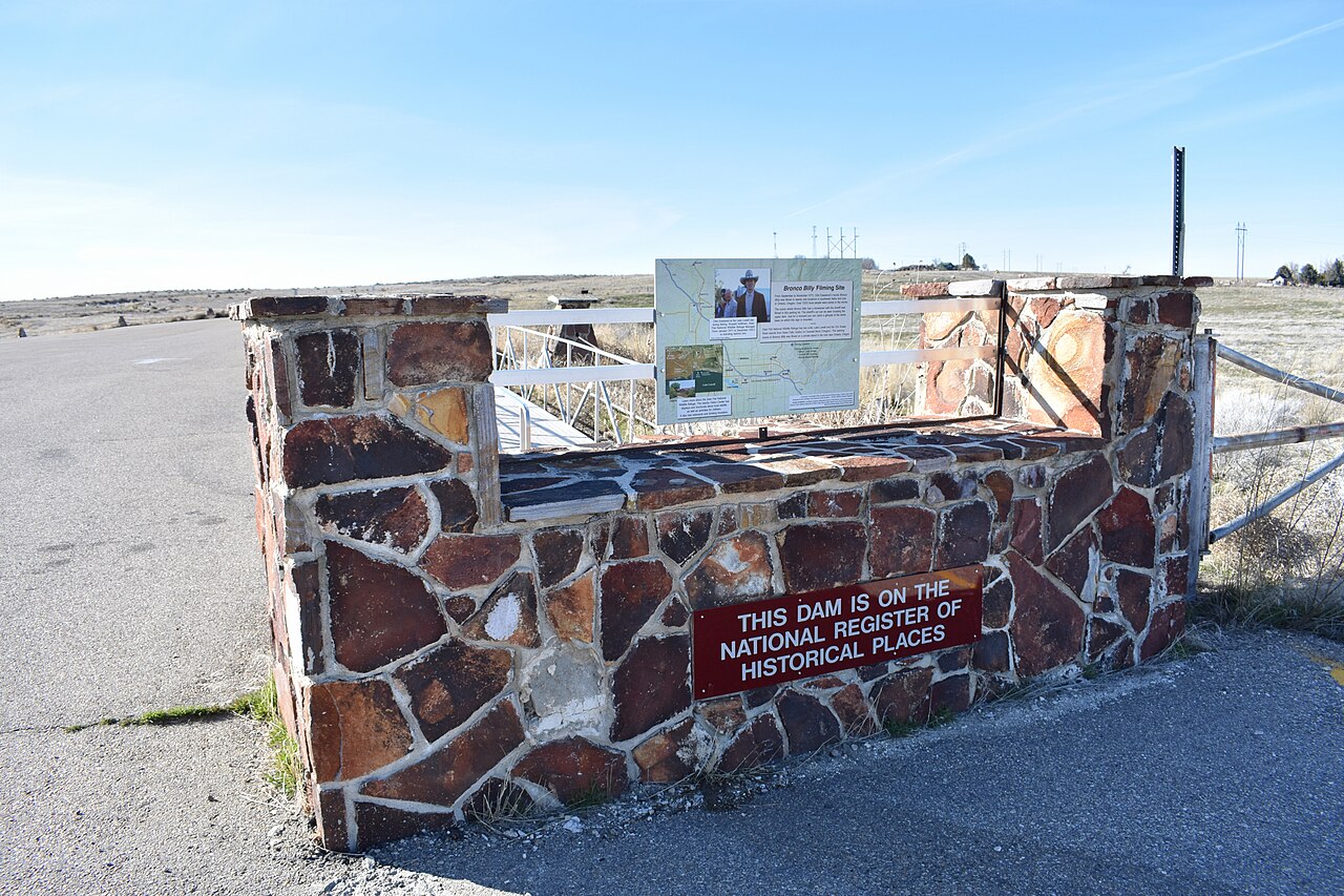
Lake Lowell
Lake Lowell covers about 9,025 acres in Idaho. It lies in Canyon County. USFWS Deer Flat NWR manages it. This guide maps 1 named…
Reservoir1 beach
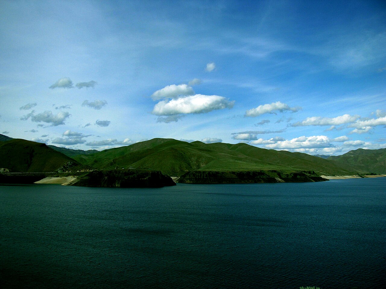
Lucky Peak Lake
Fed by the Boise River, Lucky Peak Lake holds roughly 2,820 acres of water in Idaho. It lies in Ada County. Management is in the…
Reservoir1 beach
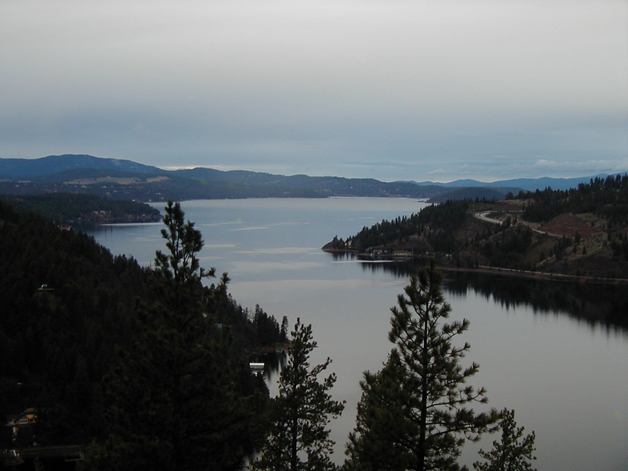
Lake Coeur d'Alene
Lake Coeur d'Alene is a 31,800-acre lake on the Spokane River in Idaho. You will find it in Kootenai County. Management is in the…
Natural lake1 beach
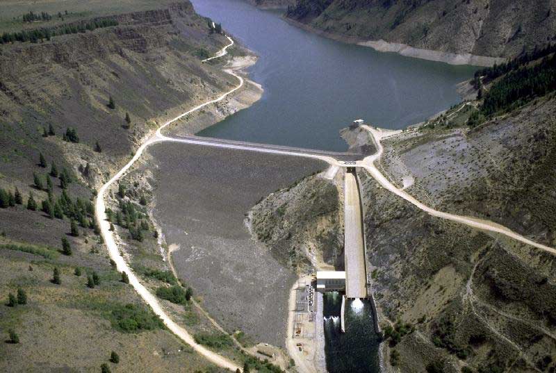
Anderson Ranch Reservoir
Anderson Ranch Reservoir covers about 4,815 acres in Idaho. The lake is in Elmore County. USFS / USBR manages it. The gauge last…
Reservoir
Explore around Oregon
Sources
Every figure on this page comes from one of these public sources.