
CountiesGranite County
MontanaReservoirGranite County
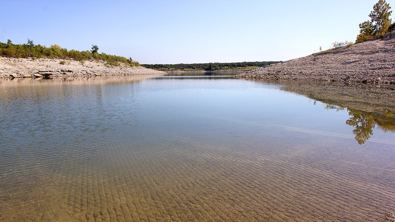
Georgetown Lake
Georgetown Lake is a 2,818-acre reservoir on the North Fork Flint Creek in Montana. It lies in Granite County. Management is in the hands of USFS Beaverhead-Deerlodge NF / MT FWP. This guide maps 1 named swimming spot around its shoreline.
Coordinates46.1858, -113.2911
Surface area2,818 acres
Max depth16 ft
RiverNorth Fork Flint Creek
Managed byUSFS Beaverhead-Deerlodge NF / MT FWP
Swimming beaches on Georgetown Lake
1 named swimming spot and shoreline access points, from USGS GNIS, Recreation.gov and the Forest Service. None is staffed by a lifeguard unless the operating agency posts one.
Georgetown Lake on the map
Lake center, swimming spots and access points.
Weather and water temperature
Air temperature and wind from Open-Meteo. Water temperature only when the lake has a public sensor.
Weather data by Open-Meteo
Swimming at Georgetown Lake
Georgetown Lake sits at 46.1858, -113.2911. Water leaves through the North Fork Flint Creek. Surface elevation is about 6,337 feet. It reaches roughly 16 feet at its deepest.
The closest lakes in this guide are Lake Como (Montana, 47 mi), Seeley Lake (Montana, 70 mi) and Helena Valley Reservoir (Montana, 75 mi). In all, 21 lakes in Montana are covered here.
Around Georgetown Lake this guide maps 1 named swimming spot. These come from Recreation.gov (RIDB). They include Pintler Ranger District. Parking is the usual limit on busy summer weekends.
Where an agency publishes a figure, we show it with the time it was taken; here there is none. Water level is missing from this page on purpose: no public feed covers Georgetown Lake.
Most Montana day-use areas open for the summer season and close outside it. If the water looks like pea soup or paint, stay out and report it to the managing agency. There is no water temperature sensor here, so only air conditions are shown.
Questions about Georgetown Lake
Can you swim in Georgetown Lake?
Yes. This guide maps 1 named swimming spot around the lake, including Pintler Ranger District. None is staffed by a lifeguard unless the operating agency posts one.
How big is Georgetown Lake?
About 2,818 acres. Maximum depth is around 16 feet.
What other lakes are near Georgetown Lake?
The closest in this guide is Lake Como, about 47 miles away in Montana.
Lakes near Georgetown Lake
Other lakes in this guide, ordered by distance.
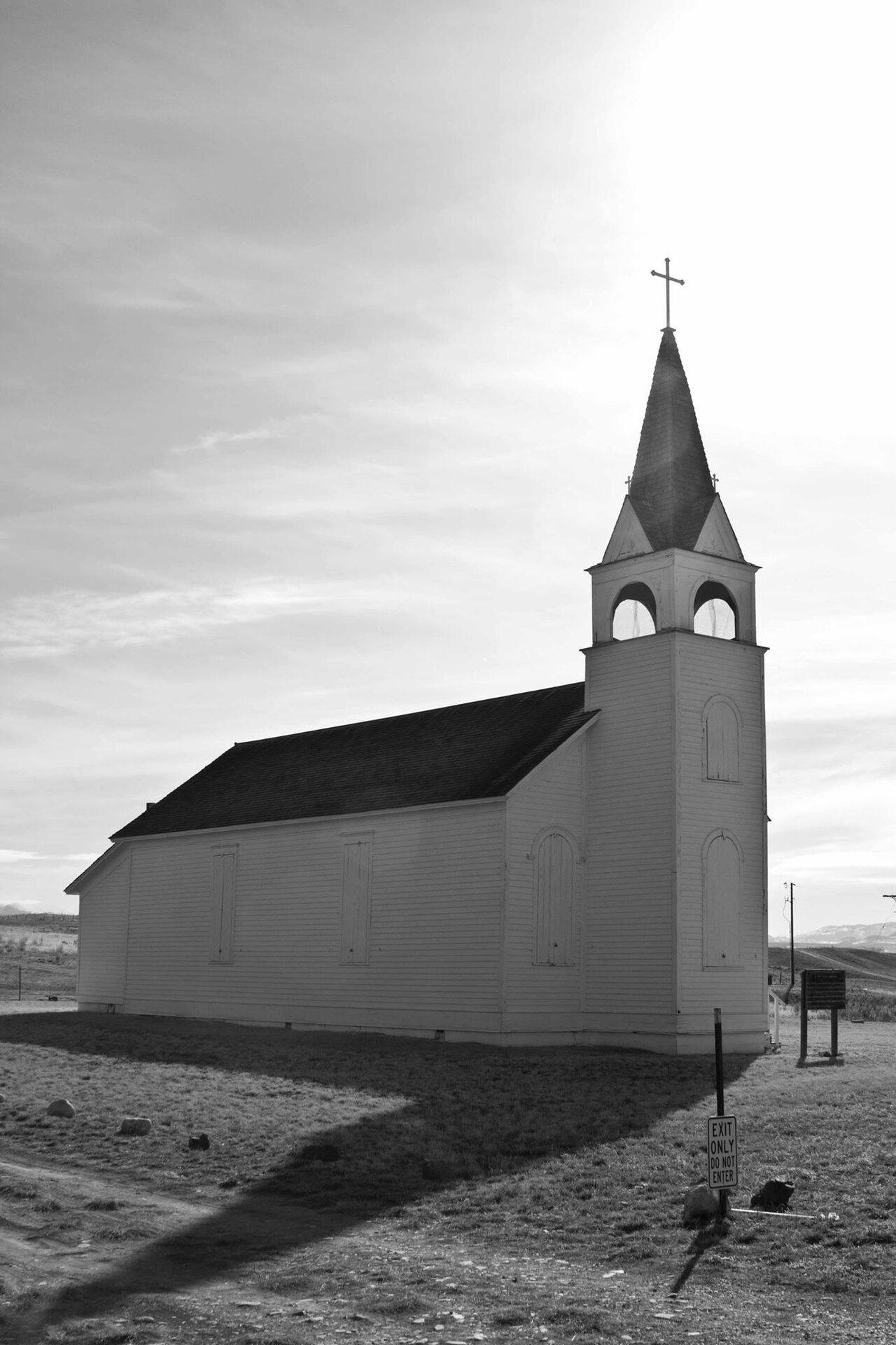
Canyon Ferry Lake
Canyon Ferry Lake is a 33,534-acre reservoir on the Missouri River in Montana. It is managed by USBR Montana Area Office. This…
Reservoir1 beach
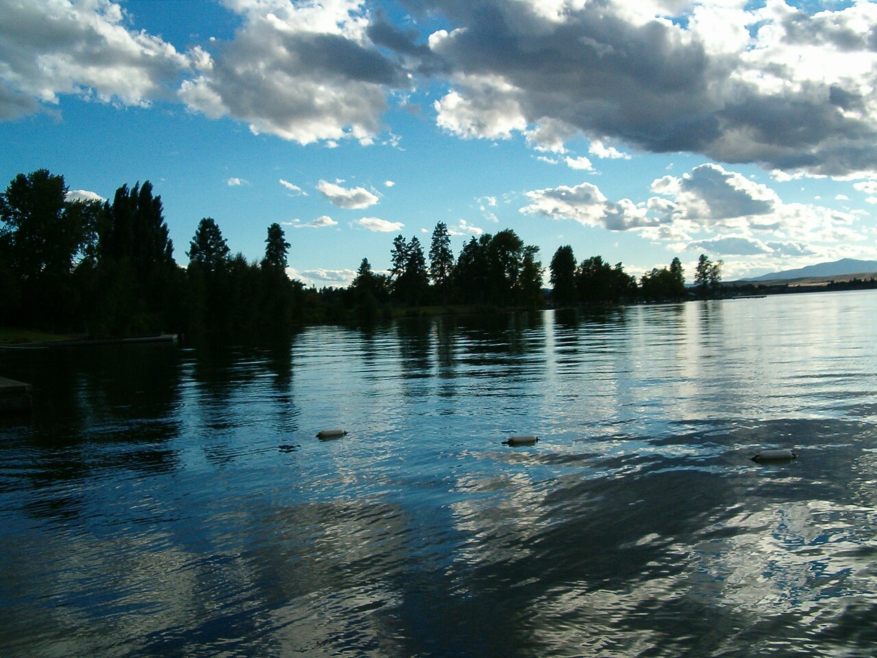
Flathead Lake
Fed by the Flathead River, Flathead Lake holds roughly 126,024 acres of water in Montana. Its shoreline falls inside Lake County.…
Natural lake3 beaches
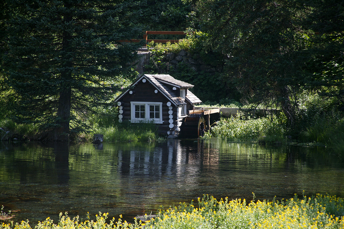
Island Park Reservoir
Island Park Reservoir is a 3,958-acre reservoir in Idaho. You will find it in Fremont County. It is managed by USDA Forest…
Reservoir
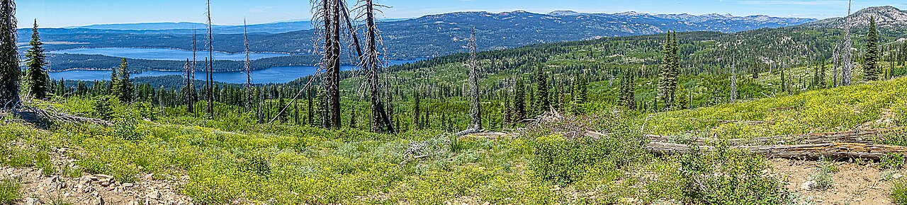
Payette Lake
Payette Lake covers about 4,987 acres of the North Fork Payette River in Idaho. You will find it in Valley County. It is managed…
Natural lake2 beaches
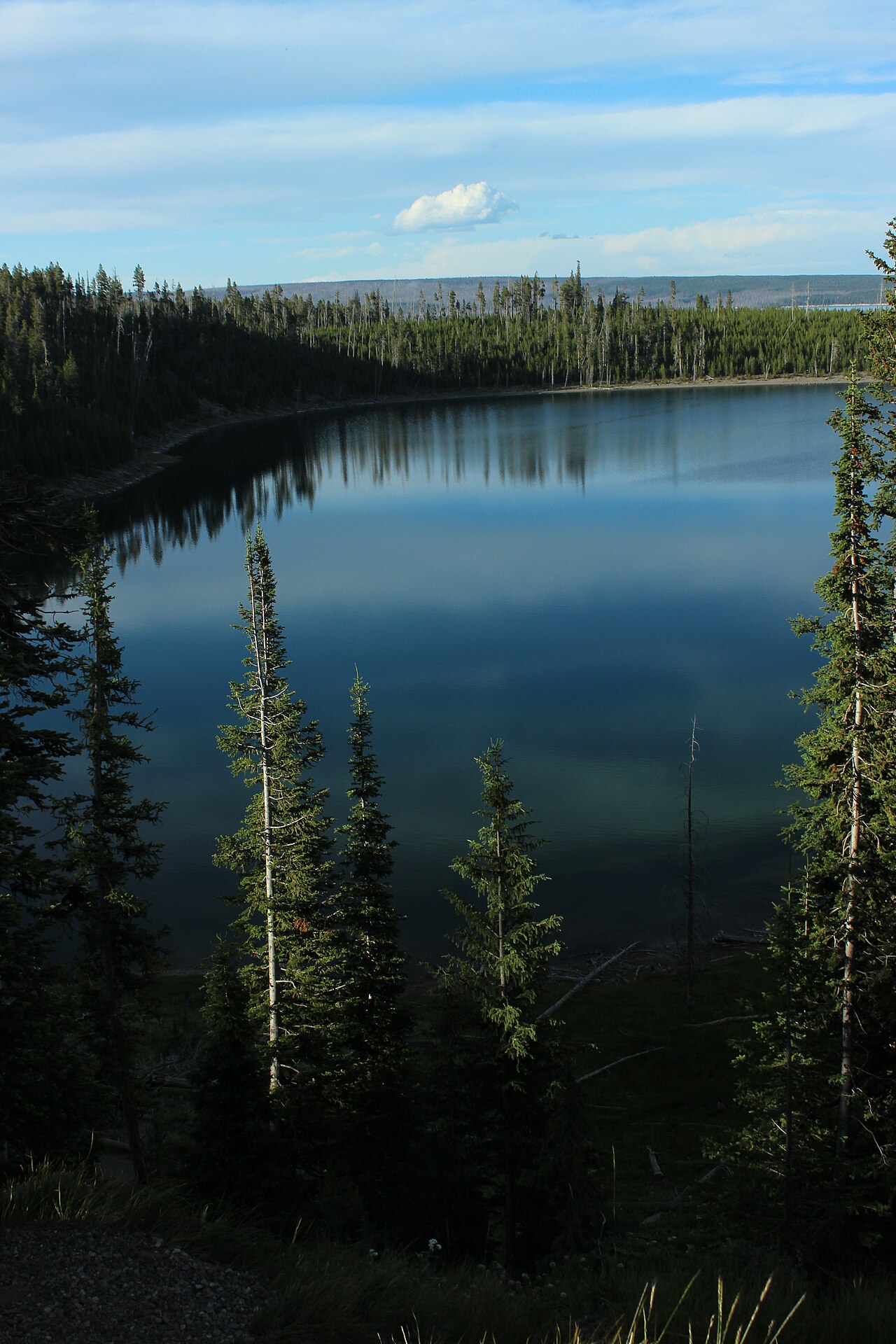
Yellowstone Lake
Yellowstone Lake covers about 87,475 acres of the Yellowstone River in Wyoming. Its shoreline falls inside Teton County.…
Natural lake3 beaches
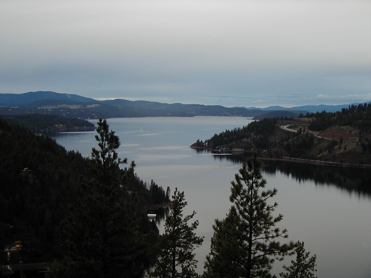
Lake Coeur d'Alene
Lake Coeur d'Alene is a 31,800-acre lake on the Spokane River in Idaho. You will find it in Kootenai County. Management is in the…
Natural lake1 beach
Explore around Montana
Sources
Every figure on this page comes from one of these public sources.