
CountiesSan Bernardino County
CaliforniaReservoirSan Bernardino County
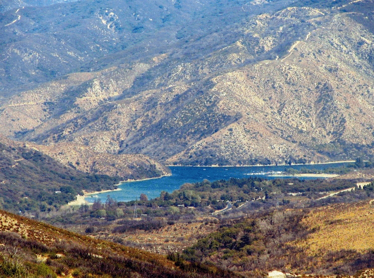
Silverwood Lake
Fed by the West Fork Mojave River, Silverwood Lake holds roughly 976 acres of water in California. It lies in San Bernardino County. California State Parks (Silverwood Lake SRA) manages it.
Coordinates34.3039, -117.3181
Surface area976 acres
RiverWest Fork Mojave River
Managed byCalifornia State Parks (Silverwood Lake SRA)
Swimming beaches on Silverwood Lake
No named swimming beach is mapped yet for this lake. Access is through agency day-use areas and boat ramps listed below. We add beach pages only when we can confirm a name, coordinates and an operating agency.
Silverwood Lake on the map
Lake center, swimming spots and access points.
Weather and water temperature
Air temperature and wind from Open-Meteo. Water temperature only when the lake has a public sensor.
Weather data by Open-Meteo
Silverwood Lake explained
On the map, Silverwood Lake is centered near 34.3039, -117.3181. Outflow feeds the West Fork Mojave River. The surface sits around 3,356 feet above sea level.
The closest lakes in this guide are Big Bear Lake (California, 20 mi), Lake Perris (California, 32 mi) and Diamond Valley Lake (California, 46 mi). California has 86 lakes on this site in total.
Many smaller lakes have no designated beach at all, only informal shoreline access. Big Bear Lake Recreation Area, on Big Bear Lake, is the closest named beach in this guide, about 24 miles off. Public datasets record no beach at Silverwood Lake, so treat any shoreline access as unmarked and unsupervised.
If the operating agency starts publishing a level for this lake, it will appear here. Water level is missing from this page on purpose: no public feed covers Silverwood Lake.
Freshwater advisories are issued locally, so check the state health department before you swim. Most California day-use areas open for the summer season and close outside it. No public sensor reports water temperature at Silverwood Lake, so the panel shows air temperature and wind.
Questions about Silverwood Lake
Is there a beach at Silverwood Lake?
No named swimming beach appears in the federal and state datasets this guide reads. Check the operating agency for day-use areas on the ground.
How big is Silverwood Lake?
About 976 acres.
What other lakes are near Silverwood Lake?
The closest in this guide is Big Bear Lake, about 20 miles away in California.
Lakes near Silverwood Lake
Other lakes in this guide, ordered by distance.
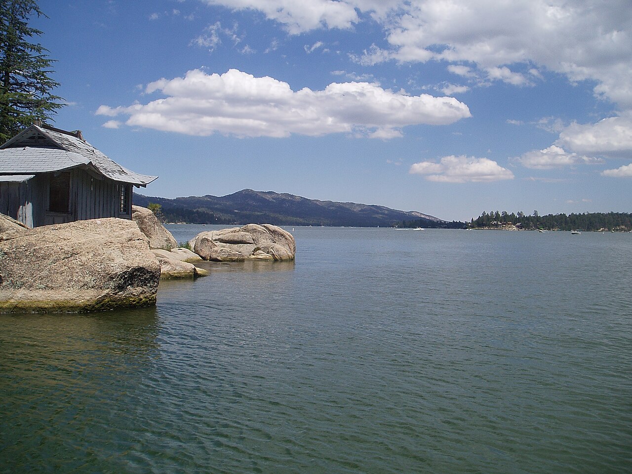
Big Bear Lake
Big Bear Lake is a reservoir of some 2,971 acres on the outflow =, in California. It lies in San Bernardino County. BBMWD manages…
Reservoir1 beach
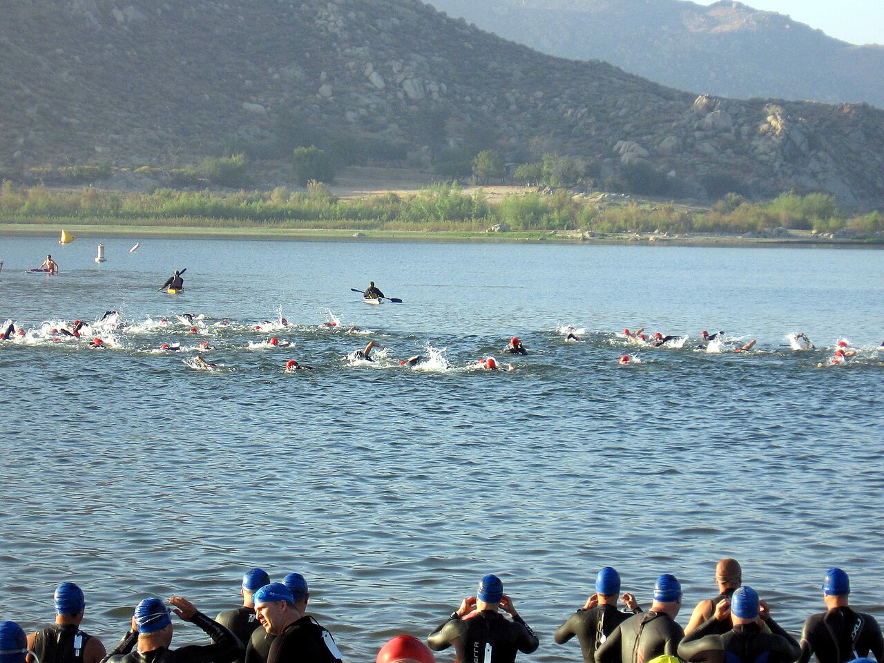
Lake Perris
Lake Perris is a 2,200-acre reservoir on the outflow = in California. The lake is in Riverside County. It is managed by…
Reservoir3 beaches
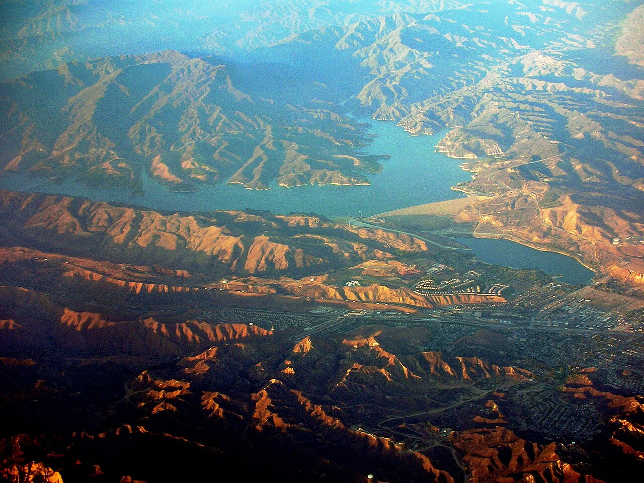
Castaic Lake
Castaic Lake is a 2,235-acre reservoir on the Castaic Creek in California. You will find it in Los Angeles County. Management is…
Reservoir
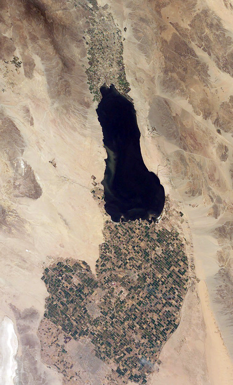
Salton Sea
Salton Sea covers about 219,430 acres of the evaporation in California. It lies in Imperial County. Management is in the hands of…
Natural lake6 beaches
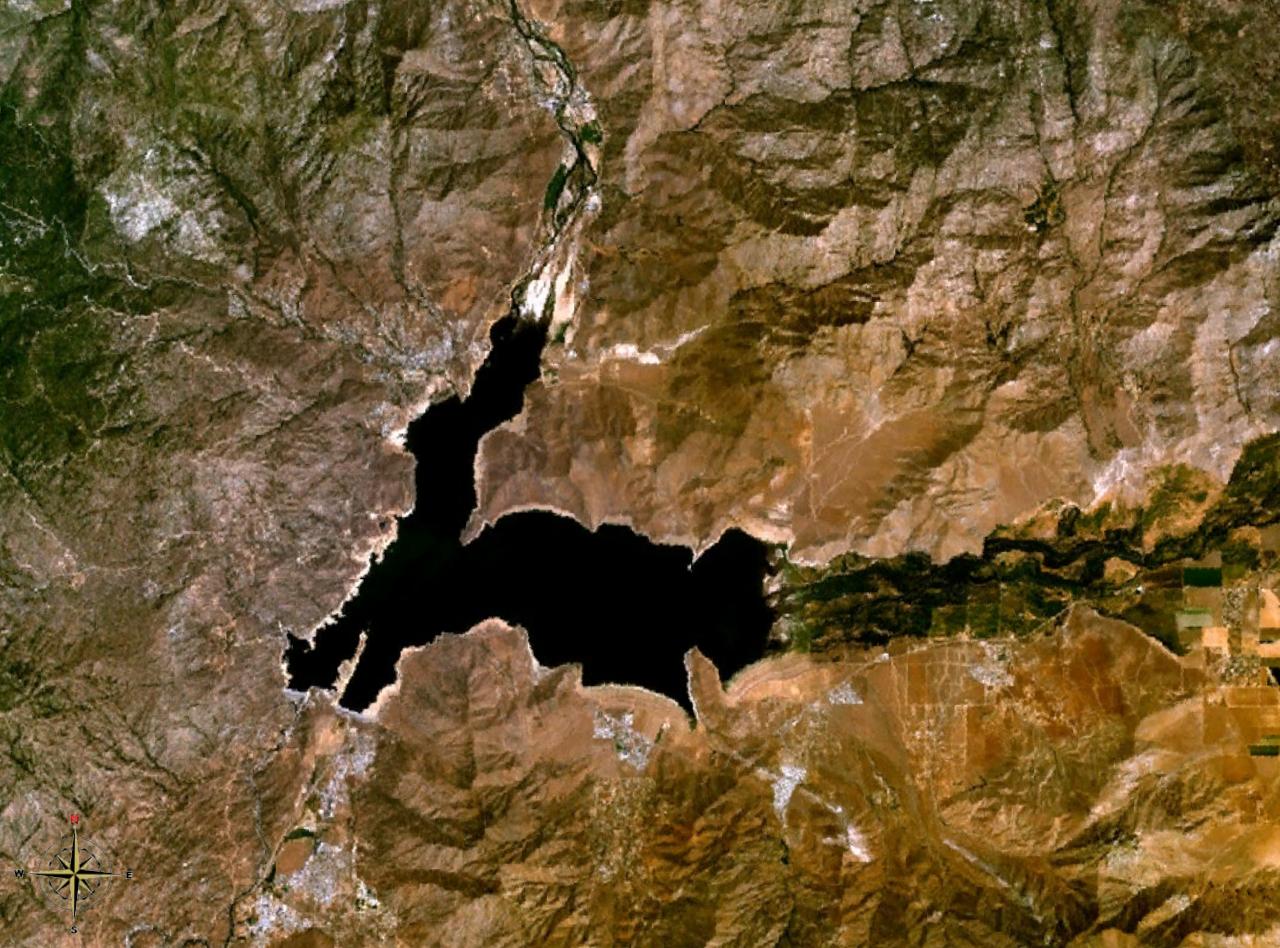
Lake Isabella
Lake Isabella is a 1,111,974-acre reservoir on the Kern River in California. Its shoreline falls inside Kern County. Management…
Reservoir1 beach
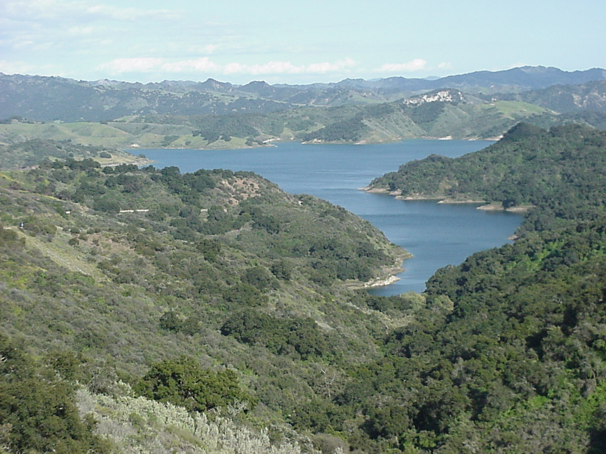
Lake Casitas
Lake Casitas covers about 1,100 acres of the Coyote Creek in California. Its shoreline falls inside Ventura County. It is managed…
Reservoir2 beaches
Explore around California
All lakes in California Swimming spots in California Lakes near Hesperia Lakes near San Bernardino
Sources
Every figure on this page comes from one of these public sources.