
CountiesVentura County
CaliforniaReservoirVentura County
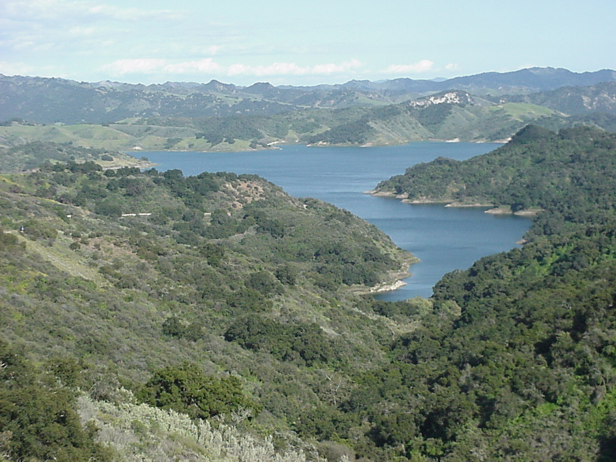
Lake Casitas
Lake Casitas covers about 1,100 acres of the Coyote Creek in California. Its shoreline falls inside Ventura County. It is managed by Casitas Municipal Water District. This guide maps 2 named swimming spots around its shoreline.
Coordinates34.3924, -119.3346
Surface area1,100 acres
Max depth240 ft
RiverCoyote Creek
Managed byCasitas Municipal Water District
Swimming beaches on Lake Casitas
2 named swimming spots and shoreline access points, from USGS GNIS, Recreation.gov and the Forest Service. None is staffed by a lifeguard unless the operating agency posts one.
Lake Casitas on the map
Lake center, swimming spots and access points.
Weather and water temperature
Air temperature and wind from Open-Meteo. Water temperature only when the lake has a public sensor.
Weather data by Open-Meteo
Lake Casitas at a glance
Its coordinates are 34.3924, -119.3346. Maximum depth is around 240 feet. The Coyote Creek carries the outflow.
We check the public feeds daily, so this page will fill in if one appears. Lake Casitas has no public water level gauge that we can read, so there is no level chart here. An invented number would be worse than none.
Nearby water includes Lake Piru (California, 34 mi), Lake Cachuma (California, 39 mi) and Castaic Lake (California, 43 mi). In all, 86 lakes in California are covered here.
Public access at Lake Casitas covers 2 named swimming spots. These come from USGS GNIS. Among them are Rincon Beach and Oil Piers Beach. Unless the operating agency says otherwise, treat these as unsupervised swimming.
Water temperature is not measured at this lake by any public agency we read. Algae blooms are seasonal and local: look for posted signs at the ramp or park entrance. Swimming season in California runs through the warm months, and day-use areas set their own opening dates.
Questions about Lake Casitas
Can you swim in Lake Casitas?
Yes. This guide maps 2 named swimming spots around the lake, including Rincon Beach and Oil Piers Beach. None is staffed by a lifeguard unless the operating agency posts one.
How big is Lake Casitas?
About 1,100 acres. Maximum depth is around 240 feet.
What other lakes are near Lake Casitas?
The closest in this guide is Lake Piru, about 34 miles away in California.
Lakes near Lake Casitas
Other lakes in this guide, ordered by distance.
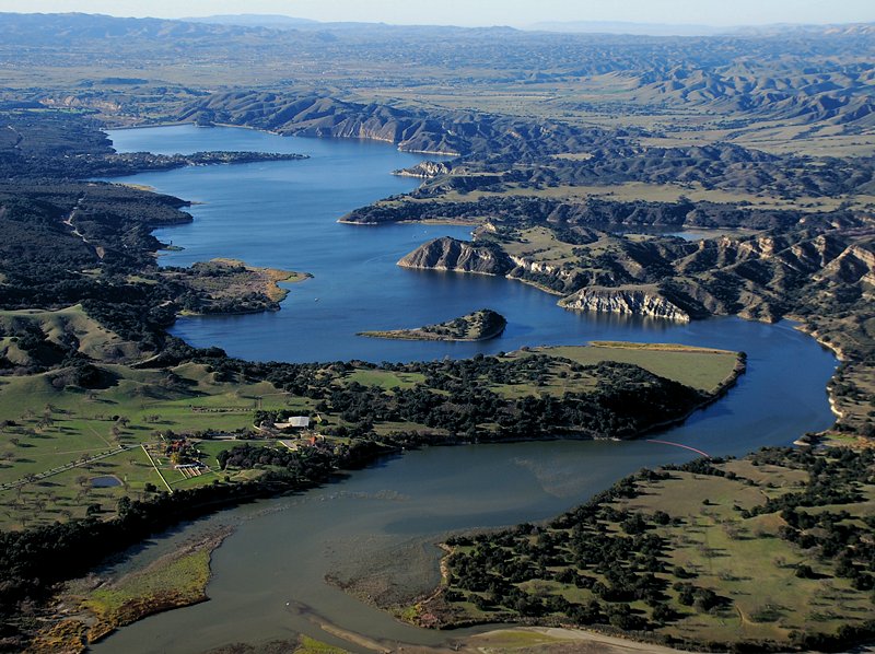
Lake Cachuma
Lake Cachuma covers about 3,100 acres of the Santa Ynez River in California. It lies in Santa Barbara County. Management is in…
Reservoir3 beaches
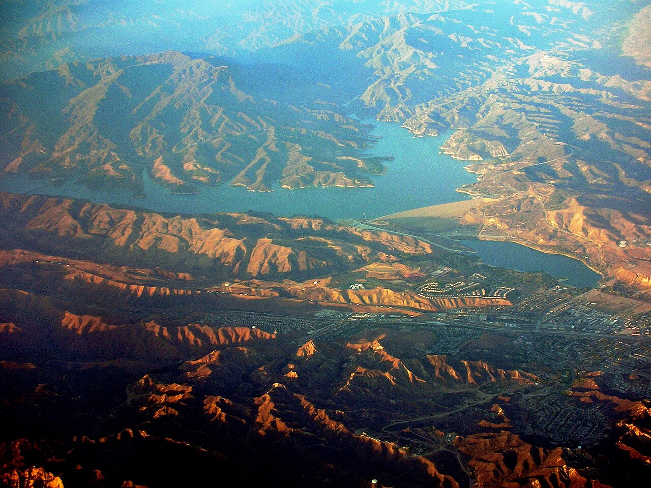
Castaic Lake
Castaic Lake is a 2,235-acre reservoir on the Castaic Creek in California. You will find it in Los Angeles County. Management is…
Reservoir
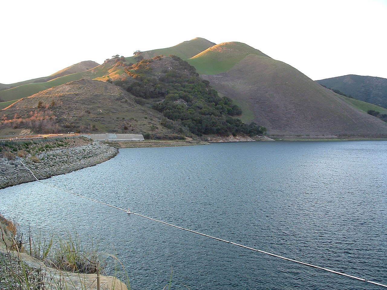
Lopez Lake
Lopez Lake is a 974-acre reservoir on the Arroyo Grande Creek in California. Its shoreline falls inside San Luis Obispo County.…
Reservoir
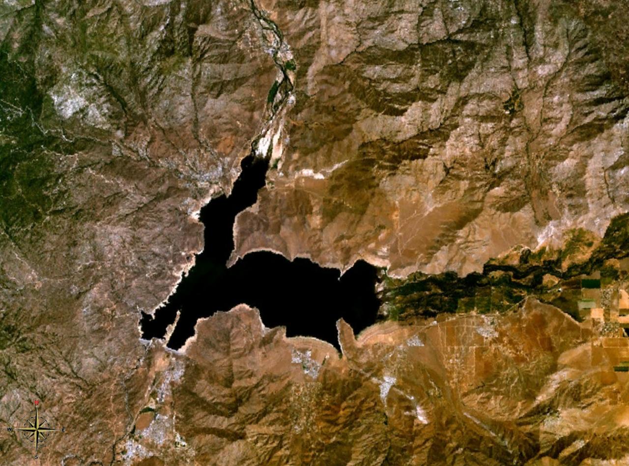
Lake Isabella
Lake Isabella is a 1,111,974-acre reservoir on the Kern River in California. Its shoreline falls inside Kern County. Management…
Reservoir1 beach
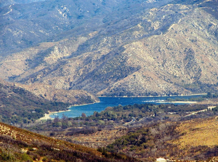
Silverwood Lake
Fed by the West Fork Mojave River, Silverwood Lake holds roughly 976 acres of water in California. It lies in San Bernardino…
Reservoir
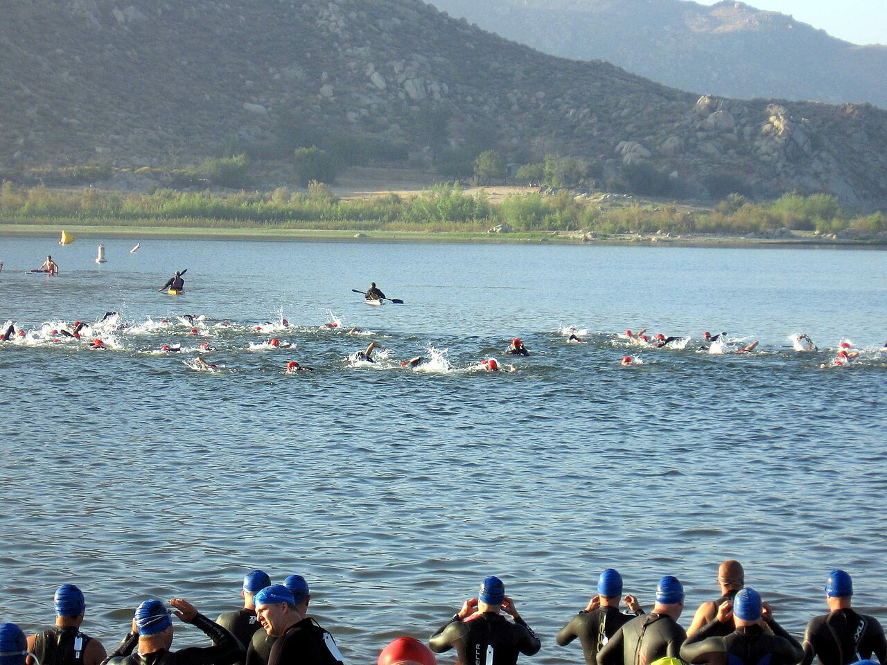
Lake Perris
Lake Perris is a 2,200-acre reservoir on the outflow = in California. The lake is in Riverside County. It is managed by…
Reservoir3 beaches
Explore around California
All lakes in California Swimming spots in California Lakes near Carpinteria Lakes near Santa Barbara
Sources
Every figure on this page comes from one of these public sources.