
CountiesRiverside County
CaliforniaReservoirRiverside County
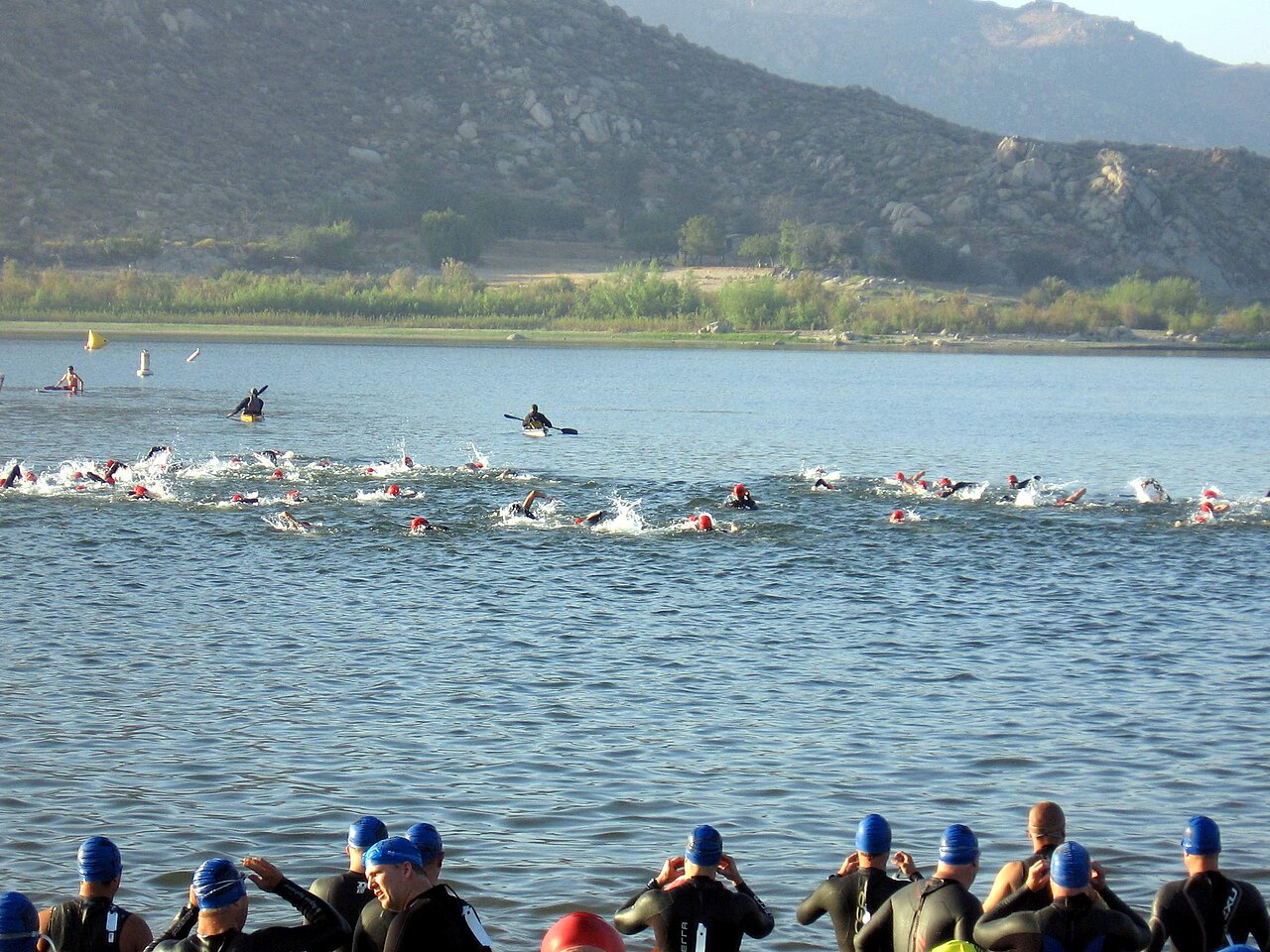
Lake Perris
Lake Perris is a 2,200-acre reservoir on the outflow = in California. The lake is in Riverside County. It is managed by California State Parks. This guide maps 3 named swimming spots around its shoreline.
Coordinates33.8492, -117.1895
Surface area2,200 acres
Max depth100 ft
Riveroutflow =
Managed byCalifornia State Parks
Swimming beaches on Lake Perris
3 named swimming spots and shoreline access points, from USGS GNIS, Recreation.gov and the Forest Service. None is staffed by a lifeguard unless the operating agency posts one.
Lake Perris on the map
Lake center, swimming spots and access points.
Weather and water temperature
Air temperature and wind from Open-Meteo. Water temperature only when the lake has a public sensor.
Weather data by Open-Meteo
Visiting Lake Perris
Its coordinates are 33.8492, -117.1895. The deepest point on record is about 100 feet. Surface elevation is about 1,568 feet. Water leaves through the outflow =.
Ask the managing agency directly if the level matters for your trip. Nobody publishes a continuous level for Lake Perris in a form this guide can read, so the page carries access and weather instead.
Nearby water includes Diamond Valley Lake (California, 15 mi), Lake Skinner (California, 20 mi) and Vail Lake (California, 27 mi). California has 86 lakes on this site in total.
No public sensor reports water temperature at Lake Perris, so the panel shows air temperature and wind. Algae blooms are seasonal and local: look for posted signs at the ramp or park entrance. Season dates vary by park; the operating agency publishes them each spring.
Public access at Lake Perris covers 3 named swimming spots. Perris Beach, Bernasconi Beach and Moreno Beach are on the list. These come from USGS GNIS. Assume no lifeguard is on duty and keep children within reach.
Questions about Lake Perris
Can you swim in Lake Perris?
Yes. This guide maps 3 named swimming spots around the lake, including Perris Beach and Bernasconi Beach. None is staffed by a lifeguard unless the operating agency posts one.
How big is Lake Perris?
About 2,200 acres. Maximum depth is around 100 feet.
What other lakes are near Lake Perris?
The closest in this guide is Diamond Valley Lake, about 15 miles away in California.
Lakes near Lake Perris
Other lakes in this guide, ordered by distance.
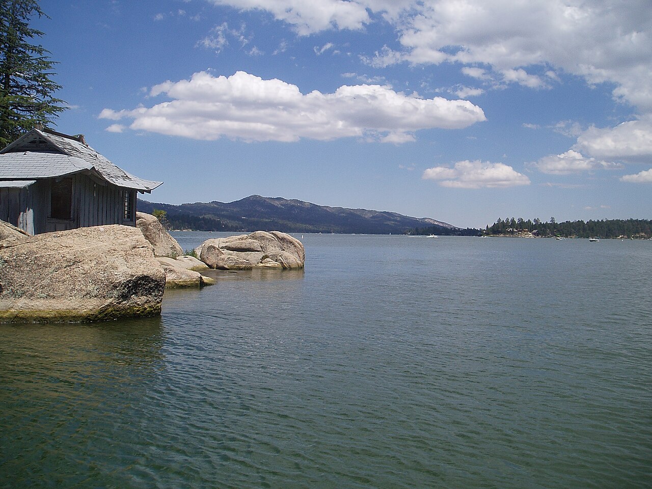
Big Bear Lake
Big Bear Lake is a reservoir of some 2,971 acres on the outflow =, in California. It lies in San Bernardino County. BBMWD manages…
Reservoir1 beach
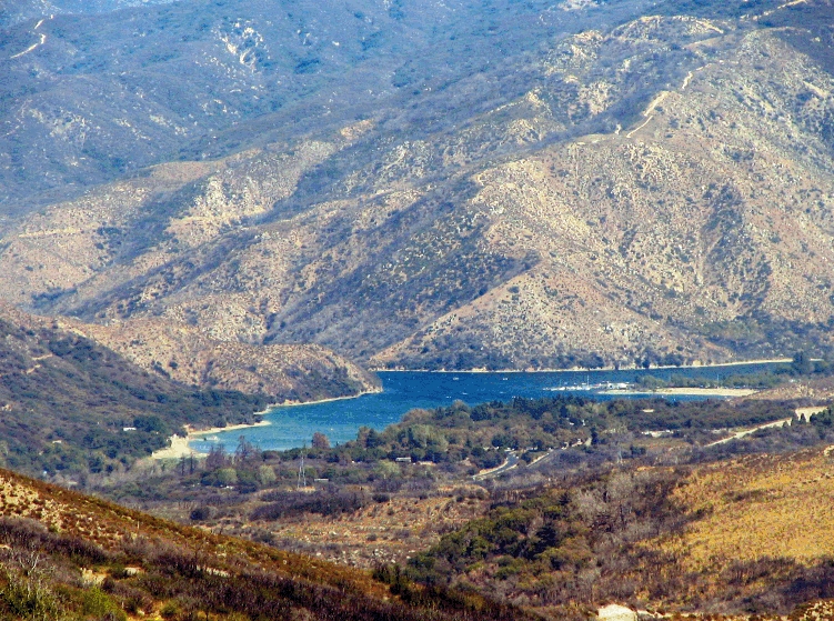
Silverwood Lake
Fed by the West Fork Mojave River, Silverwood Lake holds roughly 976 acres of water in California. It lies in San Bernardino…
Reservoir
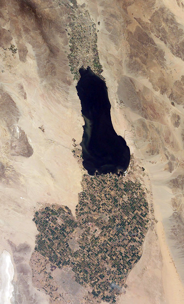
Salton Sea
Salton Sea covers about 219,430 acres of the evaporation in California. It lies in Imperial County. Management is in the hands of…
Natural lake6 beaches
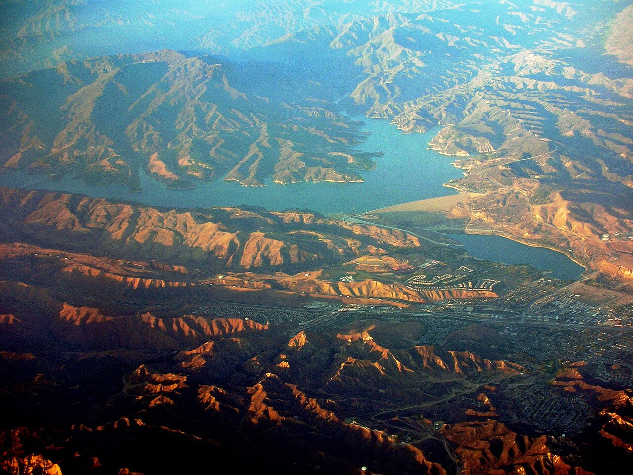
Castaic Lake
Castaic Lake is a 2,235-acre reservoir on the Castaic Creek in California. You will find it in Los Angeles County. Management is…
Reservoir
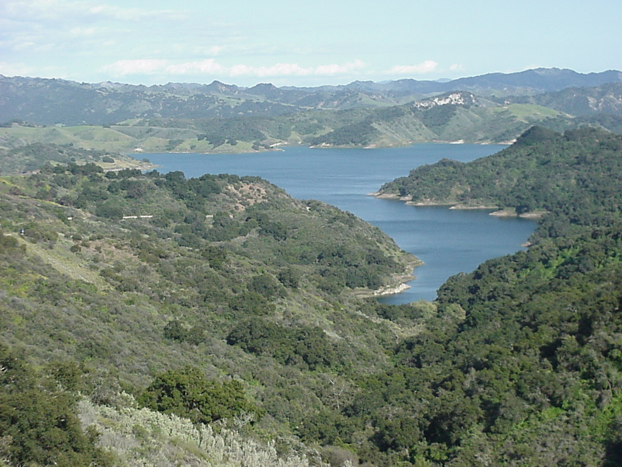
Lake Casitas
Lake Casitas covers about 1,100 acres of the Coyote Creek in California. Its shoreline falls inside Ventura County. It is managed…
Reservoir2 beaches
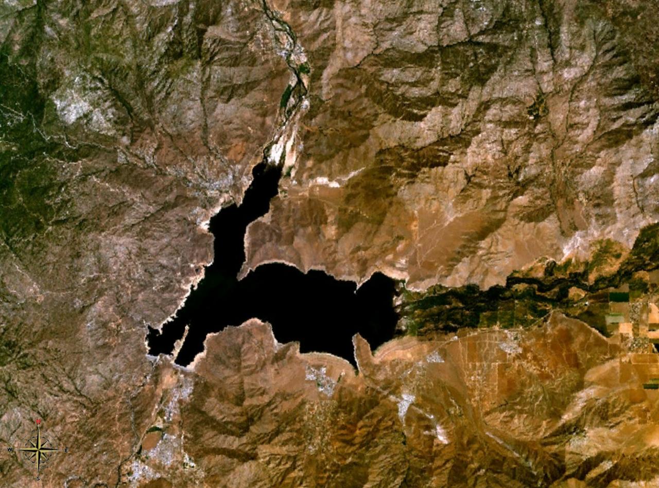
Lake Isabella
Lake Isabella is a 1,111,974-acre reservoir on the Kern River in California. Its shoreline falls inside Kern County. Management…
Reservoir1 beach
Explore around California
All lakes in California Swimming spots in California Lakes near Perris Lakes near Moreno Valley
Sources
Every figure on this page comes from one of these public sources.