
CountiesImperial County
CaliforniaNatural lakeImperial County
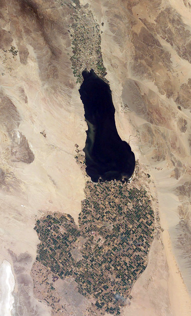
Salton Sea
Salton Sea covers about 219,430 acres of the evaporation in California. It lies in Imperial County. Management is in the hands of CA Salton Sea Management Program. This guide maps 6 named swimming spots around its shoreline.
Coordinates33.3377, -115.8391
Surface area219,430 acres
Max depth49 ft
Riverevaporation
Managed byCA Salton Sea Management Program
Swimming beaches on Salton Sea
6 named swimming spots and shoreline access points, from USGS GNIS, Recreation.gov and the Forest Service. None is staffed by a lifeguard unless the operating agency posts one.
Salton Sea on the map
Lake center, swimming spots and access points.
Weather and water temperature
Air temperature and wind from Open-Meteo. Water temperature only when the lake has a public sensor.
Weather data by Open-Meteo
Salton Sea: beaches, ramps and water level
On the map, Salton Sea is centered near 33.3377, -115.8391. The deepest point on record is about 49 feet. Surface elevation is about -234 feet.
Inland lakes are not monitored the way ocean beaches are, so posted signs matter more here. Swimming season in California runs through the warm months, and day-use areas set their own opening dates. There is no water temperature sensor here, so only air conditions are shown.
If the operating agency starts publishing a level for this lake, it will appear here. Salton Sea has no public water level gauge that we can read, so there is no level chart here. An invented number would be worse than none. There is a station 10 miles away, SALTON SEA NR WESTMORLAND CA, but it does not measure this lake.
The shoreline of Salton Sea has 6 named swimming spots in the datasets we read. These come from USGS GNIS. Among them are Bombay Beach, Sea View Beach and Salton Beach. Fees and opening dates are set by each park, not by the agency that runs the water.
If Salton Sea is busy, the nearest alternatives here are El Capitan Reservoir (California, 64 mi), Vail Lake (California, 66 mi) and San Vicente Reservoir (California, 69 mi). California has 86 lakes on this site in total.
Questions about Salton Sea
Can you swim in Salton Sea?
Yes. This guide maps 6 named swimming spots around the lake, including Bombay Beach and Sea View Beach. None is staffed by a lifeguard unless the operating agency posts one.
How big is Salton Sea?
About 219,430 acres. Maximum depth is around 49 feet.
What other lakes are near Salton Sea?
The closest in this guide is El Capitan Reservoir, about 64 miles away in California.
Lakes near Salton Sea
Other lakes in this guide, ordered by distance.
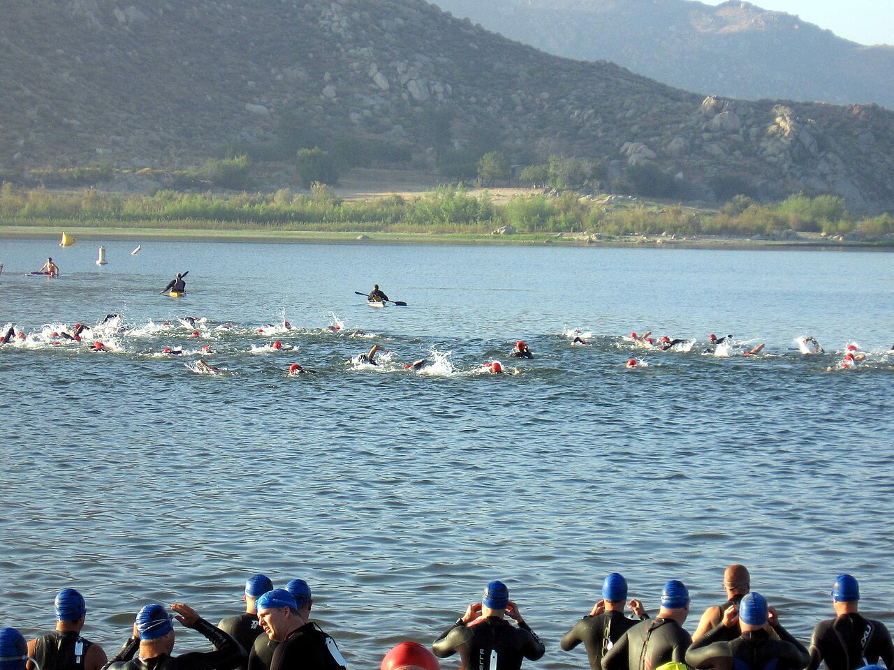
Lake Perris
Lake Perris is a 2,200-acre reservoir on the outflow = in California. The lake is in Riverside County. It is managed by…
Reservoir3 beaches
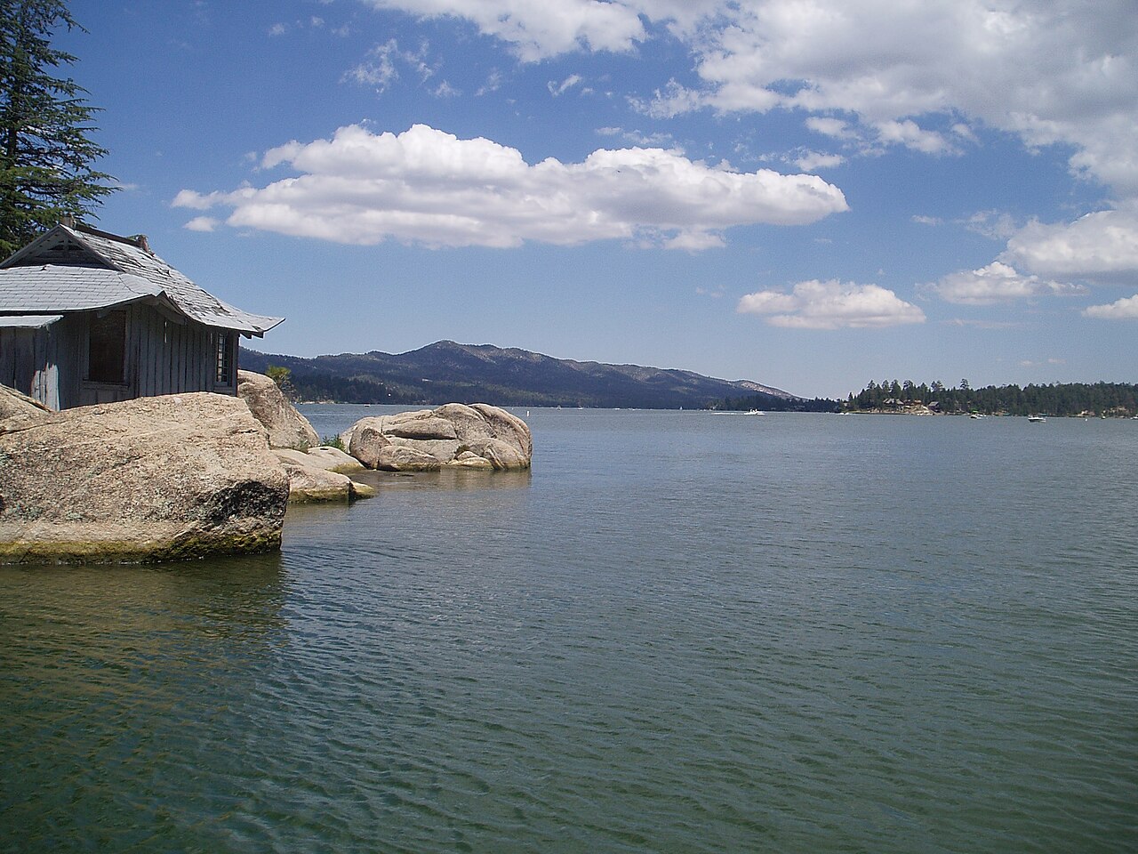
Big Bear Lake
Big Bear Lake is a reservoir of some 2,971 acres on the outflow =, in California. It lies in San Bernardino County. BBMWD manages…
Reservoir1 beach
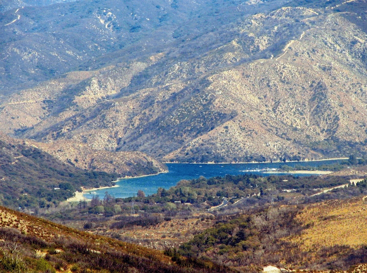
Silverwood Lake
Fed by the West Fork Mojave River, Silverwood Lake holds roughly 976 acres of water in California. It lies in San Bernardino…
Reservoir
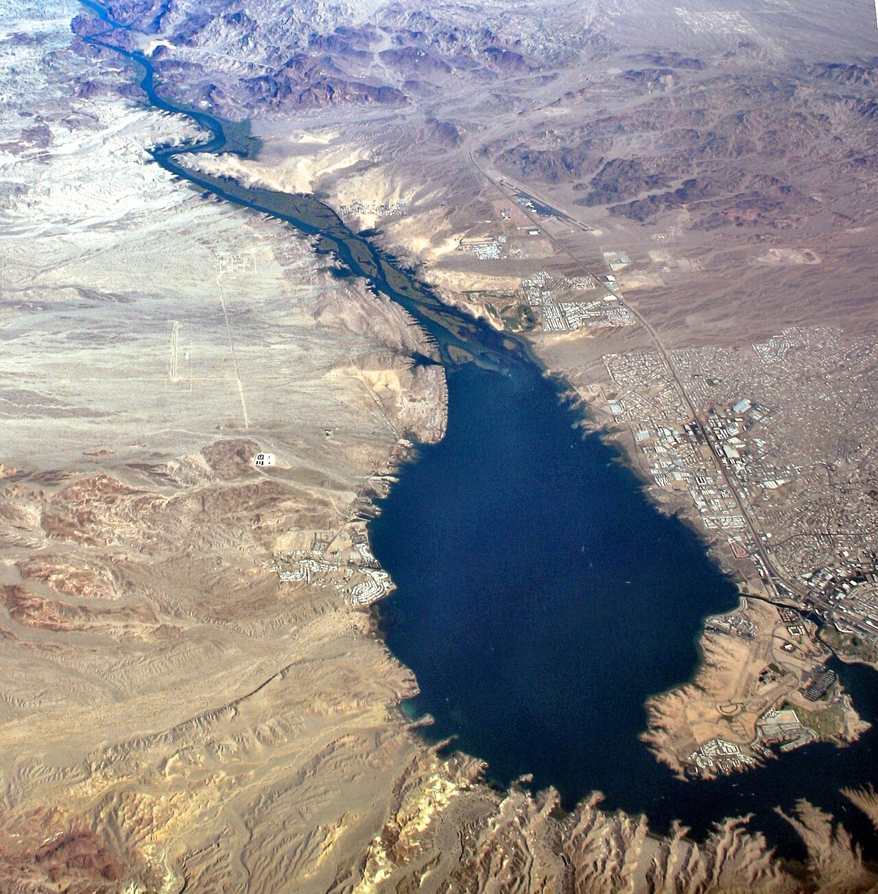
Lake Havasu
Lake Havasu is a reservoir of some 19,299 acres on the Colorado River, in Arizona. The lake is in Mohave County. USBR Lower…
Reservoir1 beach
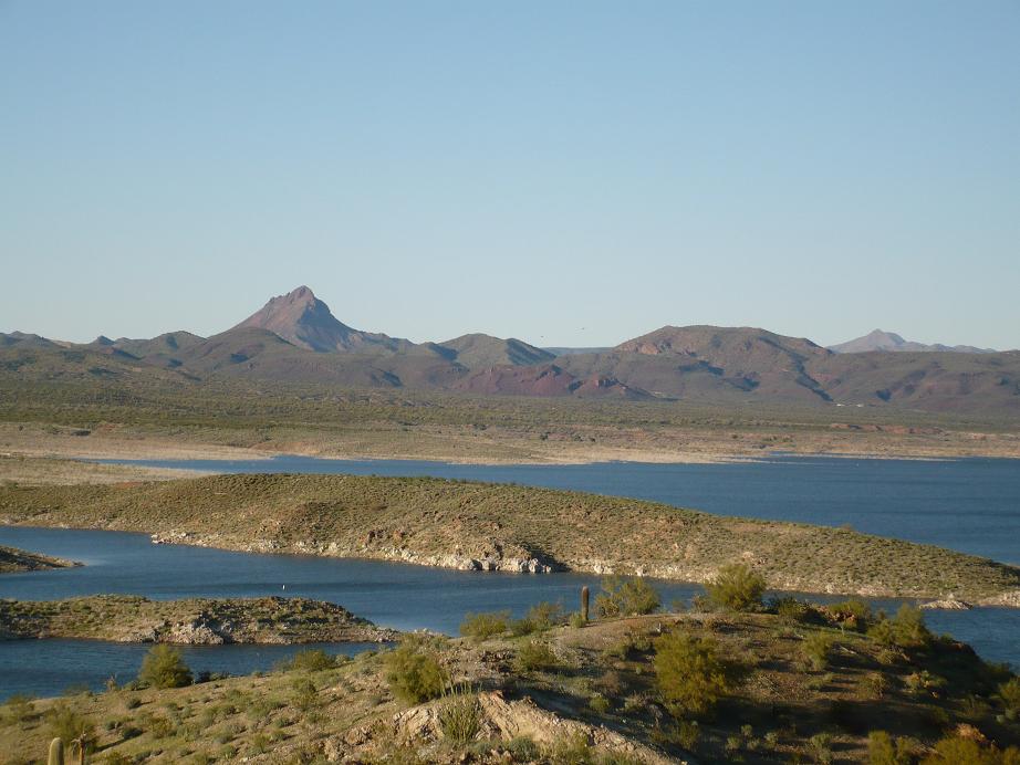
Alamo Lake
At roughly 3,665 acres, Alamo Lake is one of the lakes covered in Arizona. It lies in La Paz County. Arizona State Parks & Trails…
Reservoir
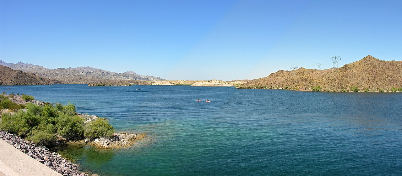
Lake Mohave
Lake Mohave is a reservoir of some 26,440 acres on the Colorado River, in Nevada. The lake is in Mohave County. It is managed by…
Reservoir
Explore around California
All lakes in California Swimming spots in California Lakes near Coachella Lakes near Brawley
Sources
Every figure on this page comes from one of these public sources.